Old Maps of Hollyvilla, Kentucky for Academic Research
Study the evolution of Hollyvilla with 28 high-resolution historic maps. Whether you're teaching, researching, or modeling changes in land use, these maps provide essential visual documentation of urban, environmental, and geographic change.
- Analyze long-term change: Track patterns in development, transportation, and natural features.
- Ideal for environmental or urban studies: Support academic projects with primary historical map data.
- Use in the classroom or lab: Educators and researchers rely on these maps to bring historical context to life.
These maps are a powerful tool for teaching, research, and visualizing how Hollyvilla has changed over the decades.
Hollyvilla, KY maps
(28)- 1907 Map of Louisville
 1907 Louisville1907 Print · USGSLouisville and the rolling hills of Jefferson and Bullitt counties are captured here in the early 1900s. Researchers can trace ancestral connections through sites like Cave Hill Cemetery, Pleasant Grove Schoolhouse, and the river crossing at Bells Mill Ford.3 unique versions available
 - 1909 Map of Kosmosdale
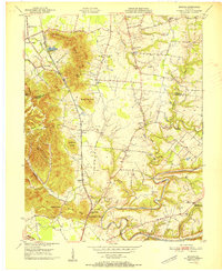
 1909 Kosmosdale1909 Print · USGSSouthwest of Louisville at the turn of the century, the river valley meets the steep slopes of Muldraughs Hill. Researchers can trace early rural life through several family-named schoolhouses and small settlements like Kosmosdale, Valley Sta, and the County Infirmary.
 - 1912 Map of Kosmosdale
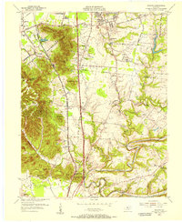
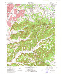
 1912 Kosmosdale1912 Print · USGSThe Ohio River valley and the Kentucky Knobs come alive in this pre-war survey, showing the expansion of southern Louisville and the rural hills of Jefferson and Bullitt counties. Researchers can locate vanished landmarks like Locust Point P.O. and the County Infirmary, or trace the old riverboat stops at Stewarts Landing.4 unique versions available
 - 1950 Map of Kosmosdale, 1959 Print
 1950 Kosmosdale1959 Print · USGSGreater Louisville and the Ohio River valley are captured here at mid-century, showing the city's industrial south side meeting rural river towns. Genealogists and historians can trace family locations through Lanesville Cem, the Waverly Hills Sanatorium, and Churchill Downs.
 - 1951 Map of Valley Station
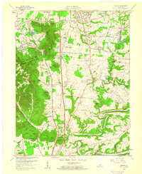
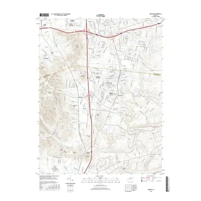
 1951 Valley Station1951 Print · USGSJefferson and Bullitt counties are shown here in the early fifties as small communities like Valley Station and Fairdale began to expand along the major rail lines. Genealogists can trace family roots through several rural landmarks, including the South Jefferson Cem, Stonestreet, and Bethany Ch.
 - 1951 Map of Brooks
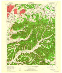
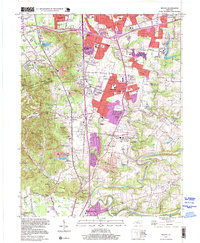
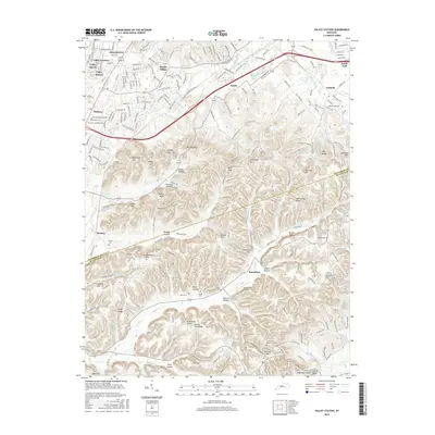
 1951 Brooks1951 Print · USGSIn the early fifties, the knobs of northern Bullitt County served as a rugged backdrop to the busy corridor of the Louisville and Nashville railroad. Genealogists can locate numerous family burial sites such as McCawley Cem and Terry Cem, alongside landmarks like the Julius Rosenwald Sch.
 - 1951 Map of Louisville, 1959 Print
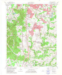
 1951 Louisville1959 Print · USGSGreater Louisville and Bullitt County are seen here in a period of rapid suburban growth following the war. Researchers can trace family history through dozens of landmarks like Evergreen Cemetery, Camp Taylor, and the rural schools of Okolona.
 - 1955 Map of Brooks, 1956 Print
 1955 Brooks1956 Print · USGSIn the mid-fifties, this Bullitt County corridor was balancing its rural roots with new industrial and highway growth. Genealogists can trace family names through the Brooks Cem and McCawley Cem, or locate historic landmarks like Hubers (Kenlite Sta) and Buttonmold Knob.
 - 1955 Map of Valley Station, 1956 Print
 1955 Valley Station1956 Print · USGSThe Knobs region of Jefferson and Bullitt Counties comes into focus during the mid-fifties as suburban growth began to meet rural ridges. Researchers can locate many family cemeteries such as Reidinger Cem and Aebers Cem, or trace the rail lines through Valley Station and Barrallton.
 - 1956 Map of Louisville, 1971 Print
 1956 Louisville1971 Print · USGSThe Ohio River valley and the Kentucky Bluegrass are captured here during a period of rapid mid-century growth and industrial activity. Genealogists and historians can trace rail-centered towns and military land use at Fort Knox and the Jefferson Proving Ground.2 unique versions available
 - 1959 Map of Brooks, 1960 Print
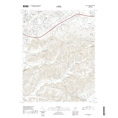
 1959 Brooks1960 Print · USGSThe Bullitt County borderlands near the Kentucky Turnpike come into focus in this late fifties survey. Genealogists and local historians can locate rural landmarks like McDowell Chapel, Jackson Cem, and the settlement at Zoneton.2 unique versions available
 - 1960 Map of Valley Station
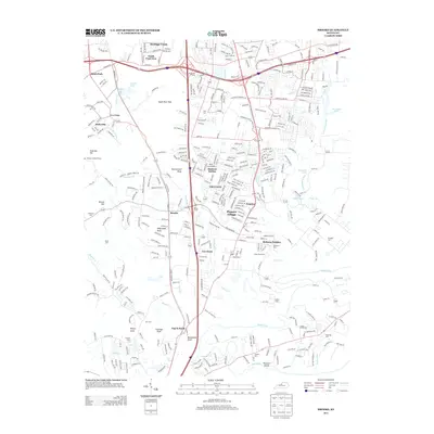
 1960 Valley Station1960 Print · USGSJefferson County and Bullitt County neighborhoods were rapidly evolving in the early sixties as suburbs reached into the knobs. Genealogists can locate family landmarks like Bethany Memorial Cem, Medora Sch, and the community at Fairdale.2 unique versions available
 - 1964 Map of Louisville
 1964 Louisville1964 Print · USGSThe Ohio River valley and Kentucky Bluegrass are captured in the mid-1960s, showing a region balanced between industrial growth and its agrarian roots. Genealogists and historians can trace the development of county seats like Shelbyville and Paris, or locate established institutions such as Georgetown College and Bernheim Forest.
 - 1981 Map of Brooks
 1981 Brooks1981 Print · USGSThe Jefferson and Bullitt County borderlands come into focus in the early 1980s as suburban growth meets the rugged knobs of northern Kentucky. Genealogists and historians can trace family sites like McCawley Cemetery and early industrial markers at Hubers (Kenlite Station).3 unique versions available
 - 1982 Map of Valley Station
 1982 Valley Station1982 Print · USGSSouthern Jefferson County in the early eighties shows the suburban growth of Valley Station pressing against the wooded slopes of the Jefferson County Memorial Forest. Researchers can trace local lineage through numerous family burial sites like Risinger Cem and Brown Cem, or locate landmarks from Waverly Hills to the quiet rail stop at Barralton.4 unique versions available
 - 1986 Map of Louisville
 1986 Louisville1986 Print · USGSMid-1980s Louisville and southern Indiana are shown here during a decade of significant suburban growth and infrastructure development. Researchers can trace the layout of Cave Hill Cemetery, the expansion of Standiford Field, and industrial sites like the Indiana Army Ammunition Plant.2 unique versions available
 - 1993 Map of Valley Station, 1996 Print
 1993 Valley Station1996 Print · USGSSouth of Louisville in the early nineties, the suburban growth of Valley Station meets the steep knobs of the Jefferson County Memorial Forest. Genealogists can locate numerous family burial sites like Bethany Mem Cem and Risinger Cem tucked among landmarks like Potato Knob.
 - 1997 Map of Brooks, 1999 Print
 1997 Brooks1999 Print · USGSThe Jefferson and Bullitt County line near the turn of the millennium shows a landscape of suburban growth and industrial heritage. Researchers can trace family history at Ball Cem and Quick Cem or explore the rail corridor near Hubers (Kenlite Sta).
 - 2010 Map of Valley Station, 2010 Print
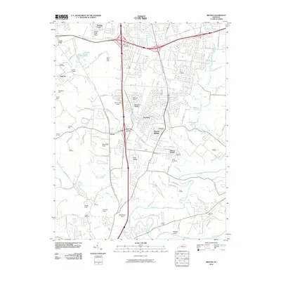
 2010 Valley Station2010 Print · USGSCovers Hollyvilla, including Louisville, Shepherdsville, and other nearby areas
 - 2010 Map of Brooks, 2010 Print
 2010 Brooks2010 Print · USGSCovers Hollyvilla, including Louisville, Shepherdsville, and other nearby areas
 - 2013 Map of Valley Station, 2013 Print
 2013 Valley Station2013 Print · USGSCovers Hollyvilla, including Louisville, Shepherdsville, and other nearby areas
 - 2013 Map of Brooks, 2013 Print
 2013 Brooks2013 Print · USGSCovers Hollyvilla, including Louisville, Shepherdsville, and other nearby areas
 - 2016 Map of Brooks, 2016 Print
 2016 Brooks2016 Print · USGSCovers Hollyvilla, including Louisville, Shepherdsville, and other nearby areas
 - 2016 Map of Valley Station, 2016 Print
 2016 Valley Station2016 Print · USGSCovers Hollyvilla, including Louisville, Shepherdsville, and other nearby areas
 - 2019 Map of Valley Station, 2019 Print
 2019 Valley Station2019 Print · USGSCovers Hollyvilla, including Louisville, Shepherdsville, and other nearby areas
Showing maps 1-25 of 28
Top cities near Hollyvilla
- Louisville historical maps
- Jeffersonville historical maps
- New Albany historical maps
- Jeffersontown historical maps
- Radcliff historical maps
- Clarksville historical maps
See more
Frequently asked questions
- What are the different types of historical maps available for Hollyvilla?
- What is the oldest map of Hollyvilla?
- Where can I purchase historical maps of Hollyvilla for my home or office?
- Where can I download high-res historical maps of Hollyvilla?
- Are there historical topographic maps available for Hollyvilla?
- Is there historical aerial imagery available for Hollyvilla?
- Where are historical maps of Hollyvilla sourced from?