Old Maps of Hodgenville, Kentucky for Genealogy
Trace your family roots with 21 historic maps of Hodgenville. These high-res maps reveal old neighborhoods, homesites, landmarks, and streets — helping you uncover where your ancestors lived and how the area evolved over time.
- Explore historic neighborhoods: Identify where your relatives may have lived in the 1800s or 1900s.
- Compare maps over time: Trace the changes in streets, buildings, and landmarks for multi-generational research.
- Perfect for genealogy & ancestry research: Used by family historians and researchers to map out lineage and migration.
These maps are an incredible resource for exploring your personal connection to Hodgenville's past.
Hodgenville, KY maps
(21)- 1935 Map of Elizabethtown
 1935 Elizabethtown1935 Print · USGSElizabethtown and the surrounding Hardin County rural landscape are captured here in the mid-1930s. Researchers can trace family roots through a dense network of country schools and churches like Glendale Sch, St Ignatius Ch, and Bland Cem.
 - 1938 Map of Elizabethtown
 1938 Elizabethtown1938 Print · USGSHardin and Larue counties are shown here in the 1930s, captured at the height of the steam-rail era. Genealogists can trace family names through dozens of rural landmarks, from Mather Mill and Star Mills to St Ignatius Ch and the Childrens Home.3 unique versions available
 - 1949 Map of Tonieville, 1952 Print
 1949 Tonieville1952 Print · USGSLarue and Hardin counties appear here at the close of the 1940s, showing a rural landscape anchored by the Nolin River. Genealogists can trace family footprints through sites like Siberia Sch, St Anthonys Ch, and the settlement at Eagle Mills.
 - 1949 Map of Elizabethtown, 1959 Print
 1949 Elizabethtown1959 Print · USGSHardin and LaRue Counties are captured here in the late Forties, showing a landscape defined by the intersection of major rail lines and rural community life. Genealogists can locate numerous country schools and churches, including Bethlehem Academy, St Johns Ch, and Glendale Sch.
 - 1953 Map of Hodgenville, 1955 Print
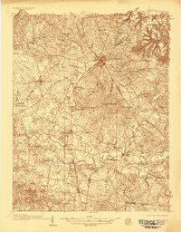
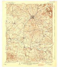
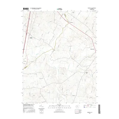
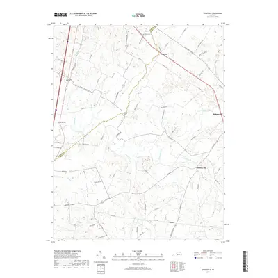
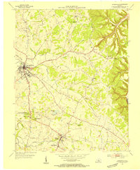 1953 Hodgenville1955 Print · USGSHodgenville and the surrounding Larue County countryside are captured here in the early fifties, centered on the Nolin River and the Illinois Central line. Researchers can locate the Abraham Lincoln Boyhood Home and family landmarks like Red Hill Cem and South Fork Ch.3 unique versions available
 - 1957 Map of Winchester, 1968 Print
 1957 Winchester1968 Print · USGSCentral Kentucky's landscape in the mid-twentieth century features the sprawling Fort Knox and the early parkway system. Genealogists and historians can trace rail lines like the Southern Railway and find landmarks from Bernheim Forest to Pilot Knob.3 unique versions available
 - 1960 Map of Winchester
 1960 Winchester1960 Print · USGSCentral Kentucky's diverse landscape is shown here at mid-century, from the bluegrass plains to the rugged Pottsville Escarpment. Genealogists and historians can trace the rail-and-river network connecting towns like Bardstown and Stanford alongside landmarks like Lake Cumberland.
 - 1960 Map of Tonieville, 1962 Print
 1960 Tonieville1962 Print · USGSLarue and Hardin counties appear in the early sixties as a network of river-powered mills and rail-side junctions. You can trace the family history and industry of the Nolin River valley through Eagle Mills, Mathers Mill, and the Barren Run Cems.2 unique versions available
 - 1979 Map of Tonieville, 1983 Print
 1979 Tonieville1983 Print · USGSIn the rolling hills of Larue and Hardin County during the mid-twentieth century, the Nolin River served as the backbone for rural life. Genealogists and historians can trace the foundations of local families at Big Spring Cem, the railway connections at Glendale Junction, and old milling sites like Mathers Mills.
 - 1981 Map of Elizabethtown, 1983 Print
 1981 Elizabethtown1983 Print · USGSCentral Kentucky in the early eighties shows a landscape of military installations, state parks, and historic sites. Genealogists and historians can trace rail lines like the Louisville and Nashville or locate sites like Lebanon National Cemetery and the Lincoln Memorial National Historic Site.
 - 1992 Map of Tonieville
 1992 Tonieville1992 Print · USGSLarue and Hardin Counties are captured here in the early nineties, showing a landscape defined by the winding Nolin River and historic milling sites. Genealogists can locate family landmarks such as Siberia Cem, Eagle Mills, and the Old L & N RR corridor.
 - 2010 Map of Hodgenville, 2010 Print
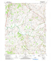
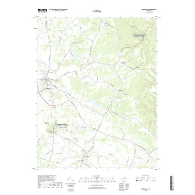
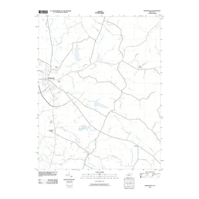 2010 Hodgenville2010 Print · USGSCovers Hodgenville, including Leafdale, Buffalo, and other nearby areas
 - 2010 Map of Tonieville, 2010 Print
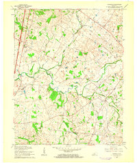
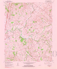
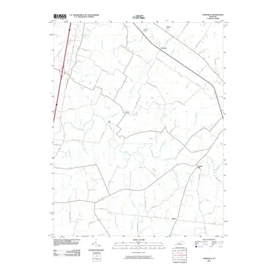 2010 Tonieville2010 Print · USGSCovers Hodgenville, including Tonieville, Glendale Junction, and other nearby areas
 - 2013 Map of Hodgenville, 2013 Print
 2013 Hodgenville2013 Print · USGSCovers Hodgenville, including Leafdale, Buffalo, and other nearby areas
 - 2013 Map of Tonieville, 2013 Print
 2013 Tonieville2013 Print · USGSCovers Hodgenville, including Tonieville, Glendale Junction, and other nearby areas
 - 2016 Map of Tonieville, 2016 Print
 2016 Tonieville2016 Print · USGSCovers Hodgenville, including Tonieville, Glendale Junction, and other nearby areas
 - 2016 Map of Hodgenville, 2016 Print
 2016 Hodgenville2016 Print · USGSCovers Hodgenville, including Leafdale, Buffalo, and other nearby areas
 - 2019 Map of Hodgenville, 2019 Print
 2019 Hodgenville2019 Print · USGSCovers Hodgenville, including Leafdale, Buffalo, and other nearby areas
 - 2019 Map of Tonieville, 2019 Print
 2019 Tonieville2019 Print · USGSCovers Hodgenville, including Tonieville, Glendale Junction, and other nearby areas
 - 2022 Map of Hodgenville, 2022 Print
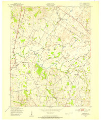
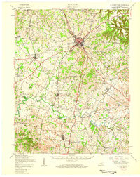
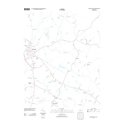
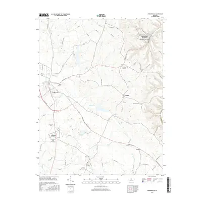
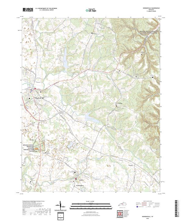 2022 Hodgenville2022 Print · USGSLarue County at the start of the 2020s remains a landscape defined by its deep ties to presidential history and rural tradition. Researchers can locate family burial sites like Saint Joachim Cem or trace the early settlement boundaries near Buffalo and the Abraham Lincoln Birthplace.
 - 2022 Map of Tonieville, 2022 Print
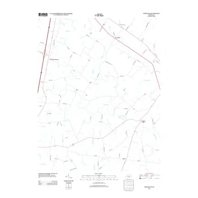
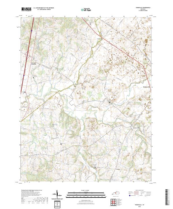 2022 Tonieville2022 Print · USGSLarue and Hardin County rural life is centered on the winding Nolin River and its tributaries in the early 2020s. Genealogists can trace numerous local burial sites including Siberia Cem, Williams Cem, and the historic Nolynn Baptist Church Cem.
End of results
Showing maps 1-21 of 21
Top cities near Hodgenville
- Elizabethtown historical maps
- Radcliff historical maps
- Vine Grove historical maps
- New Haven historical maps
- Bonnieville historical maps
- Sonora historical maps
Frequently asked questions
- What are the different types of historical maps available for Hodgenville?
- What is the oldest map of Hodgenville?
- Where can I purchase historical maps of Hodgenville for my home or office?
- Where can I download high-res historical maps of Hodgenville?
- Are there historical topographic maps available for Hodgenville?
- Is there historical aerial imagery available for Hodgenville?
- Where are historical maps of Hodgenville sourced from?