Old Maps of Russellville, Kentucky for Academic Research
Study the evolution of Russellville with 15 high-resolution historic maps. Whether you're teaching, researching, or modeling changes in land use, these maps provide essential visual documentation of urban, environmental, and geographic change.
- Analyze long-term change: Track patterns in development, transportation, and natural features.
- Ideal for environmental or urban studies: Support academic projects with primary historical map data.
- Use in the classroom or lab: Educators and researchers rely on these maps to bring historical context to life.
These maps are a powerful tool for teaching, research, and visualizing how Russellville has changed over the decades.
Russellville, KY maps
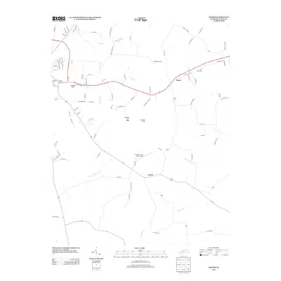
(15)- 1952 Map of Russellville, 1953 Print
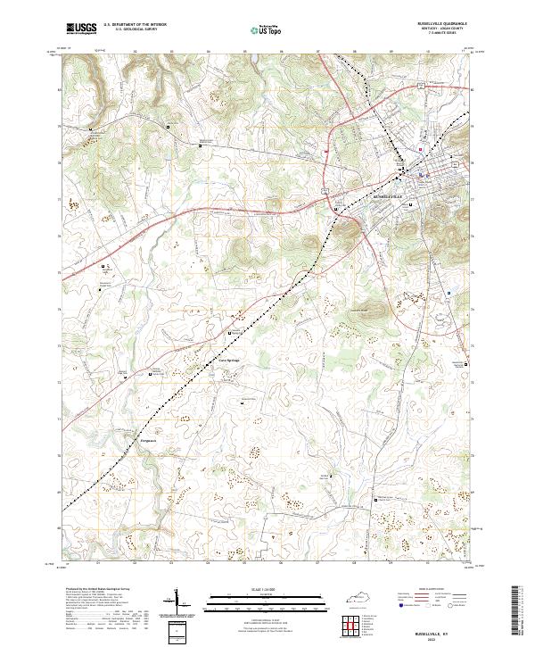
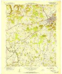 1952 Russellville1953 Print · USGSMid-century Logan County comes alive in this survey, showing the rail hub of Russellville and its surrounding rural hamlets. Trace family roots and local history through numerous country churches like Lebanon Ch and Whitaker Grove Ch.3 unique versions available
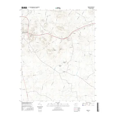
 - 1952 Map of Dennis, 1953 Print
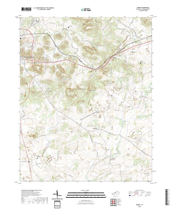
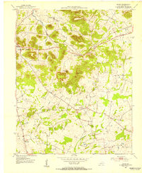 1952 Dennis1953 Print · USGSLogan County in the early fifties maintains a landscape of small crossroads communities and family landmarks. Genealogists and historians can trace the rural infrastructure of the era through sites like Mud River Valley Sch, Halls Store, and Bibbs Chapel Com.3 unique versions available
 - 1956 Map of Nashville, 1971 Print
 1956 Nashville1971 Print · USGSThe Tennessee-Kentucky borderlands come into focus in the mid-1960s as major reservoir projects transformed the Cumberland and Tennessee river valleys. Researchers can trace the rail networks of the Louisville and Nashville and visit sites like Fort Campbell and Fort Donelson National Military Park.2 unique versions available
 - 1959 Map of Nashville
 1959 Nashville1959 Print · USGSMiddle Tennessee and Southern Kentucky come into focus during the late fifties, showing the region's transition into a modern transportation and military hub. Researchers can trace the sprawling Fort Campbell Military Reservation or locate historic rail stops along the Tennessee Central Ry and Illinois Central RR.
 - 1985 Map of Bowling Green
 1985 Bowling Green1985 Print · USGSThe rolling borderlands of Kentucky and Tennessee are captured here in the mid-eighties, showing a landscape shaped by the Barren River and deep-rooted rail networks. Genealogists and researchers can trace local landmarks like Prices Mill, Highland Academy, and Green Lawn Cem.3 unique versions available
 - 2010 Map of Dennis, 2010 Print
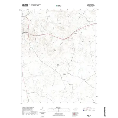
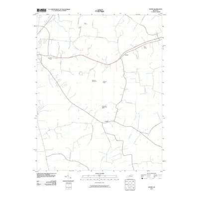 2010 Dennis2010 Print · USGSCovers Russellville, including Dennis, Corinth, and other nearby areas
 - 2010 Map of Russellville, 2010 Print
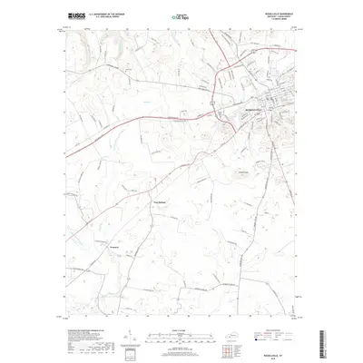
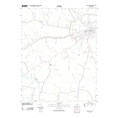 2010 Russellville2010 Print · USGSCovers Russellville, including Cave Springs, Ferguson, and other nearby areas
 - 2013 Map of Dennis, 2013 Print
 2013 Dennis2013 Print · USGSCovers Russellville, including Dennis, Corinth, and other nearby areas
 - 2013 Map of Russellville, 2013 Print
 2013 Russellville2013 Print · USGSCovers Russellville, including Cave Springs, Ferguson, and other nearby areas
 - 2016 Map of Dennis, 2016 Print
 2016 Dennis2016 Print · USGSCovers Russellville, including Dennis, Corinth, and other nearby areas
 - 2016 Map of Russellville, 2016 Print
 2016 Russellville2016 Print · USGSCovers Russellville, including Cave Springs, Ferguson, and other nearby areas
 - 2019 Map of Russellville, 2019 Print
 2019 Russellville2019 Print · USGSCovers Russellville, including Cave Springs, Ferguson, and other nearby areas
 - 2019 Map of Dennis, 2019 Print
 2019 Dennis2019 Print · USGSCovers Russellville, including Dennis, Corinth, and other nearby areas
 - 2022 Map of Dennis, 2022 Print
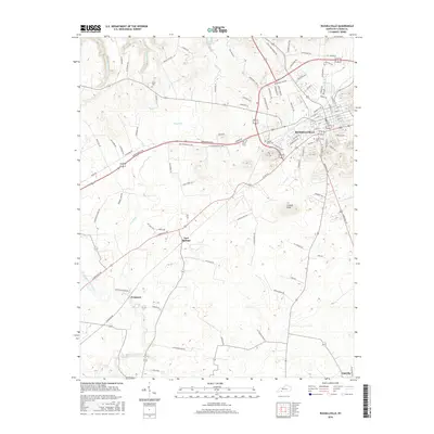
 2022 Dennis2022 Print · USGSLogan County settlements and family burial grounds are well-preserved here as they appeared in the early 2020s. Genealogists can trace deep local roots at the Stephen Fuqua Cem, Bibb's Chapel Cem, or near the rural crossroads of Dennis.
 - 2022 Map of Russellville, 2022 Print
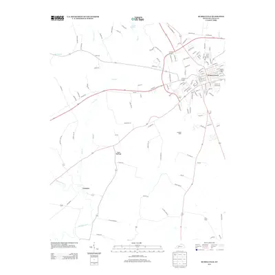
 2022 Russellville2022 Print · USGSThe seat of Logan County and its surrounding countryside are captured here in the early twenty-first century. Genealogists and local historians can trace family locations near Ferguson and Cave Springs or locate the Old Baptist Burying Ground and Luckett Knob.
End of results
Showing maps 1-15 of 15
Top cities near Russellville
Frequently asked questions
- What are the different types of historical maps available for Russellville?
- What is the oldest map of Russellville?
- Where can I purchase historical maps of Russellville for my home or office?
- Where can I download high-res historical maps of Russellville?
- Are there historical topographic maps available for Russellville?
- Is there historical aerial imagery available for Russellville?
- Where are historical maps of Russellville sourced from?