
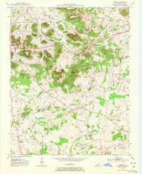
1952 Map of Dennis
USGS Topo · Published 1953About this map
Russellville and its surrounding rural townships in Logan County are documented here in the early 1950s, a period when the agricultural landscape was punctuated by a dense network of country schools and churches. The terrain is defined by prominent elevations such as Sugarloaf Knob, Rainbow Rock Knob, and Buzzard Knob, which rise above the winding path of the Mud River. Transportation through the region follows the Louisville and Nashville Highway, connecting the county seat with smaller rural hubs like Dennis and Corinth. The map records specific community focal points of the era, including the Mud River Valley Sch and the Bibbs Chapel Com, alongside numerous family-named landmarks such as Cook Cem and Halls Store. The drainage patterns of Little Whippoorwill Creek and Pleasant Run provide a clear view of the natural water resources that shaped local settlement patterns.
Find a feature on this map
21 named features on this map. Tap any name to fly to it.
Don’t see what you’re looking for? This feature index may not catch every label — zoom into the map to look around manually.
Map Details
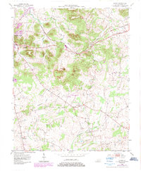
Editions of this 1952 Dennis Map
3 editions found
Other maps of this area

1942 · Gallatin
USGS Topo · 1:100,000

1951 · Adairville
USGS Topo · 1:24,000

1951 · Dot
USGS Topo · 1:24,000

1951 · Prices Mill
USGS Topo · 1:24,000

1951 · Auburn
USGS Topo · 1:24,000

1951 · Lewisburg
USGS Topo · 1:24,000

1951 · South Union
USGS Topo · 1:24,000

1951 · Homer
USGS Topo · 1:24,000

1952 · Russellville
USGS Topo · 1:24,000

1956 · Nashville
USGS Topo · 1:250,000