2020s Maps of McCreary County, Kentucky
Explore 18 historic maps of McCreary County from the 2020s. These maps offer a rare glimpse into what life looked like during the 2020s — showing old roads, neighborhoods, homes, and landmarks that have changed or disappeared over time.
Whether you're researching your family's past, planning a metal detecting trip, or studying how McCreary County's landscape evolved across the 2020s, these high-resolution maps are a powerful tool for exploring the history of this region.
- Focus on a specific era: All maps on this page are from the 2020s, giving you a focused view of this time period.
- See what’s changed: Compare century-old streets, trails, and buildings to today's modern landscape using overlays and satellite layers.
- Research with precision: Use these maps for genealogy, historical research, land use analysis, or educational projects.
- View, download, or print: Maps are fully viewable online in high resolution, and can be downloaded or printed for your own records.
Start exploring McCreary County's history through authentic maps from the 2020s. This is your window into the past.
McCreary County, KY maps
(18)- 2022 Map of Ketchen, 2022 Print
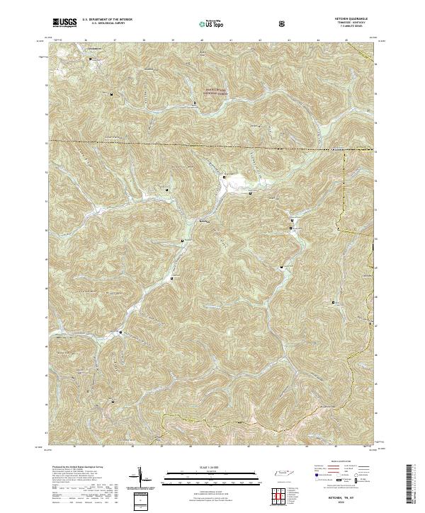 2022 Ketchen2022 Print · USGSThe Tennessee-Kentucky borderlands come alive in the early 2020s, showing a landscape defined by deep ridges and isolated family settlements. Genealogists can trace ancestral sites through numerous cemeteries like Blankenship Cem, Lawson Cem, and Rock Creek Cem.
 - 2022 Map of Barthell SW, 2022 Print
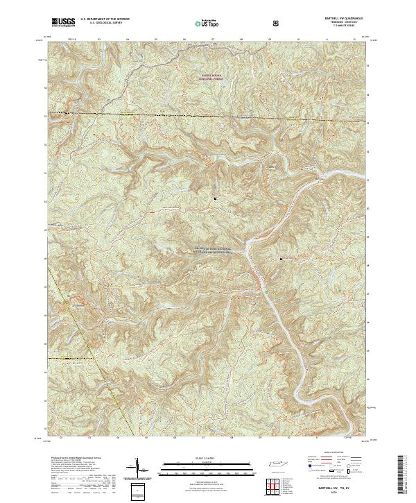 2022 Barthell SW2022 Print · USGSThe borderlands of Tennessee and Kentucky are captured here in a period of transition as timber and homesteading routes became a modern recreation network. Researchers can trace family history at Terry Cem and Slavens Cem or follow the Sheltowee Trace Trl.
 - 2022 Map of Oneida North, 2022 Print
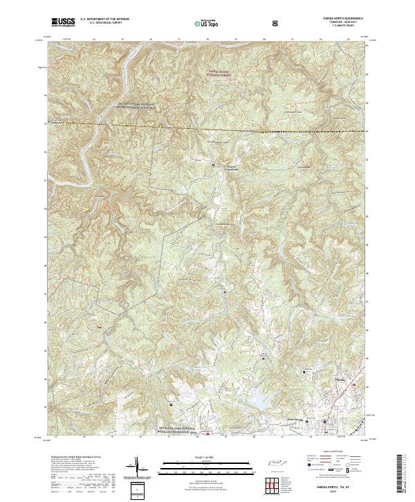 2022 Oneida North2022 Print · USGSUpper East Tennessee and the Kentucky borderlands meet on the Cumberland Plateau during this modern era of federal conservation. Researchers can trace family history through sites like Coffee Cem or locate rural landmarks such as Foster Crossroads and Indian Head Mtn.
 - 2022 Map of Jellico West, 2022 Print
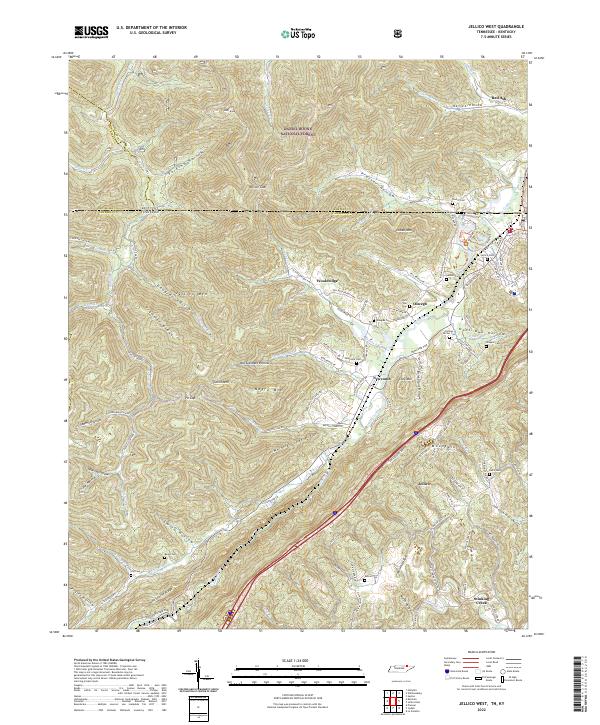 2022 Jellico West2022 Print · USGSThe Tennessee-Kentucky border comes alive in this 2022 survey of the valleys below Pine Mountain. Genealogists and local historians can trace family burial sites like Beard Cem and Jellico Cem near settlements such as Newcomb and Wooldridge.
 - 2022 Map of Sharp Place, 2022 Print
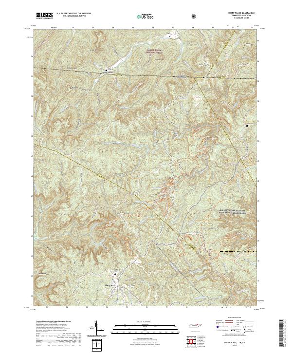 2022 Sharp Place2022 Print · USGSThe Tennessee-Kentucky borderlands come into focus in the early 2020s, showing a landscape defined by deep ridges and protected forests. Family historians can locate several local burial sites including Sharp Cem, Blevins Cem, and the Sharp Place Cem.
 - 2022 Map of Winfield, 2022 Print
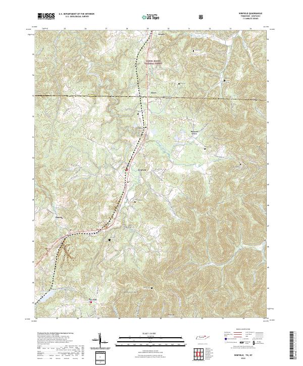 2022 Winfield2022 Print · USGSThe Tennessee-Kentucky border comes alive in this survey of Winfield and its surrounding mountain ridges. Researchers can locate numerous family burial sites, such as the Chitwood Cem and Duncan Cem, or trace the path of Old Hwy 27 through the hills.
 - 2022 Map of Hail, 2022 Print
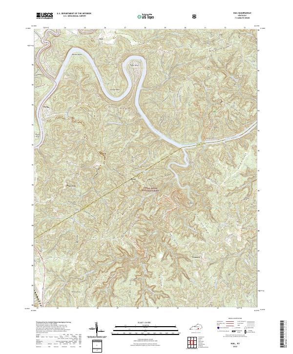 2022 Hail2022 Print · USGSThe Cumberland River meanders through the heart of the Daniel Boone National Forest in the early 2020s, revealing a landscape of high ridges and isolated hollows. Genealogists and hikers can trace the areas around Hail, Bethel Church, and Blue John along with many family-named features like Hyden Ridge.
 - 2022 Map of Parmleysville, 2022 Print
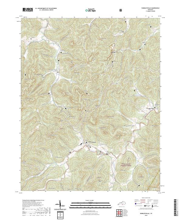 2022 Parmleysville2022 Print · USGSThe ridges and hollows of southern Kentucky are mapped here in the early twenty-first century, showing the enduring footprint of rural communities. Genealogists can locate family landmarks like the Hucaby-Eaton Cem, Campbell Cem, and the historic Bethel Baptist Churchyard Cem.
 - 2022 Map of Hollyhill, 2022 Print
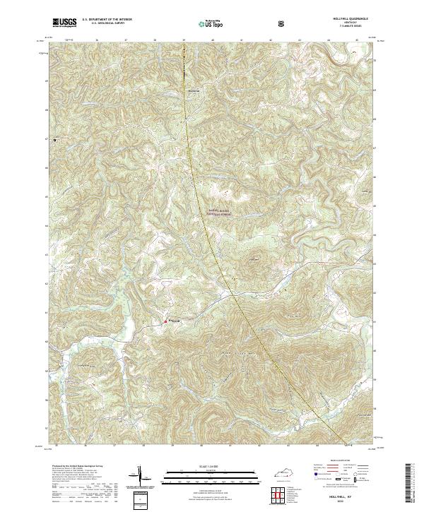 2022 Hollyhill2022 Print · USGSThe McCreary County highlands come into focus in the early 2020s, showing a landscape defined by deep hollows and the Daniel Boone National Forest. Researchers can trace old family sites and rural landmarks like Laurel Cem, Duckrun, and Granny Holt Knob.
 - 2022 Map of Coopersville, 2022 Print
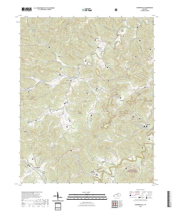 2022 Coopersville2022 Print · USGSThe limestone cliffs and winding hollows of Wayne County are shown in detail here. Genealogists can trace family names through dozens of sites like the Shade Thompson Cem and settlements such as Coopersville and Pueblo.
 - 2022 Map of Whitley City, 2022 Print
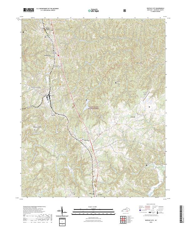 2022 Whitley City2022 Print · USGSMcCreary County's central corridor is detailed here just after the turn of the twenty-first century, following the highway and rail path between Whitley City and Pine Knot. Researchers can trace local lineage through several cemeteries including Carter Cem and Gilreath Cem.
 - 2022 Map of Sawyer, 2022 Print
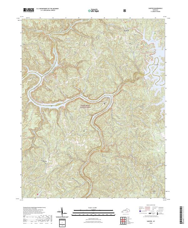 2022 Sawyer2022 Print · USGSThe upland ridges and river valleys of Laurel and McCreary Counties come into focus in this contemporary survey. Researchers can trace family-named sites like Price Cem or explore the reach of the Rockcastle River and Lake Cumberland near Sawyer.
 - 2022 Map of Cumberland Falls, 2022 Print
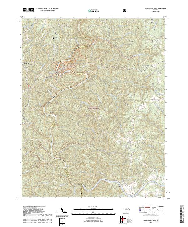 2022 Cumberland Falls2022 Print · USGSThe Cumberland River basin in Whitley and McCreary Counties is captured here in the early twenty-first century, showcasing a landscape defined by water and forest. Genealogists and hikers can trace old landmarks like the Rock Branch School, Marian Cem, and the Sheltowee Trace Trl.
 - 2022 Map of Bell Farm, 2022 Print
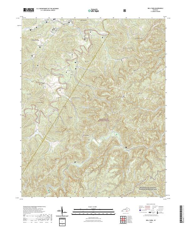 2022 Bell Farm2022 Print · USGSThe rugged McCreary and Wayne County border country is shown here in detail, where ridges like Backbone Ridge meet the river forks. Genealogists can trace family names across dozens of sites like Rigney-Gregory Cem, Phillips Cem, and the Denny Farm Cem.
 - 2022 Map of Nevelsville, 2022 Print
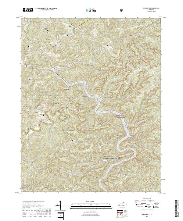 2022 Nevelsville2022 Print · USGSSettled along the intricate river forks of Southern Kentucky, this modern survey shows the enduring family landmarks of the Cumberlands. Trace ancestral sites at Jonesville Cem, Morton Station, and the Gran Young Graveyard.
 - 2022 Map of Wiborg, 2022 Print
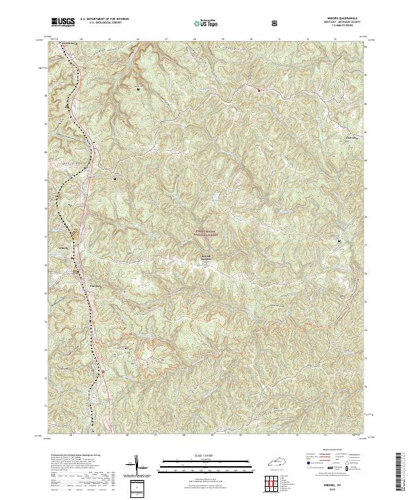 2022 Wiborg2022 Print · USGSMcCreary County and the timbered ridges of the southern Cumberland Plateau are documented here in the early twenty-first century. Genealogists and local historians can locate family burial sites like Piney Grove Cem and trace the paths of the Sheltowee Trace Trl through Beulah Heights.
 - 2022 Map of Barthell, 2022 Print
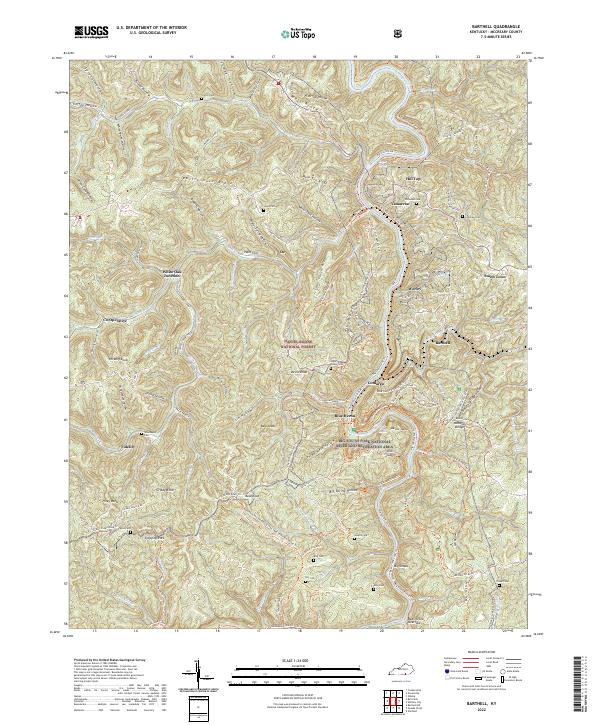 2022 Barthell2022 Print · USGSMcCreary County's coal and rail heritage is etched into the ridges and river bends of the Daniel Boone National Forest in this modern survey. Genealogists and historians can trace old company towns and family burial sites like Barthell, Blue Heron, and Nancy Grave Cem.
 - 2022 Map of Burnside, 2022 Print
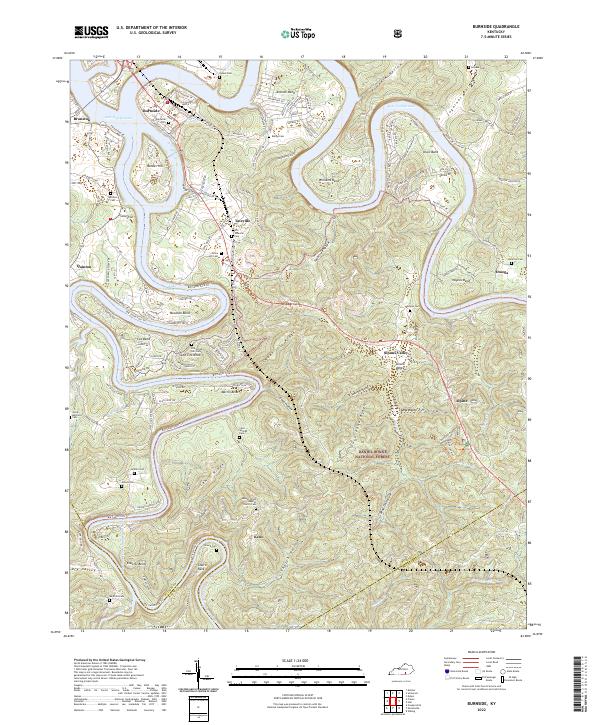 2022 Burnside2022 Print · USGSThe Cumberland River loops through Pulaski County in the early twenty-first century, revealing a landscape of steep hollows and high ridges. Researchers can trace numerous family burial grounds including Old Tateville and Grave Hill Cem, or locate riverside settlements like Burnside and Sloans Valley.
End of results
Showing maps 1-18 of 18
Frequently asked questions
- What are the different types of historical maps available for McCreary County?
- What is the oldest map of McCreary County?
- Where can I purchase historical maps of McCreary County for my home or office?
- Where can I download high-res historical maps of McCreary County?
- Are there historical topographic maps available for McCreary County?
- Is there historical aerial imagery available for McCreary County?
- Where are historical maps of McCreary County sourced from?