2000s (21st Century) Maps of McCreary County, Kentucky
Explore 92 historic maps of McCreary County from the 2000s (21st Century). These maps offer a rare glimpse into what life looked like during the 2000s — showing old roads, neighborhoods, homes, and landmarks that have changed or disappeared over time.
Whether you're researching your family's past, planning a metal detecting trip, or studying how McCreary County's landscape evolved across the 2000s, these high-resolution maps are a powerful tool for exploring the history of this region.
- Focus on a specific era: All maps on this page are from the 2000s, giving you a focused view of this time period.
- See what’s changed: Compare century-old streets, trails, and buildings to today's modern landscape using overlays and satellite layers.
- Research with precision: Use these maps for genealogy, historical research, land use analysis, or educational projects.
- View, download, or print: Maps are fully viewable online in high resolution, and can be downloaded or printed for your own records.
Start exploring McCreary County's history through authentic maps from the 2000s. This is your window into the past.
McCreary County, KY maps
(92)- 2000 Map of Barthell SW, 2001 Print
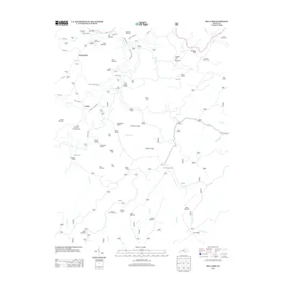
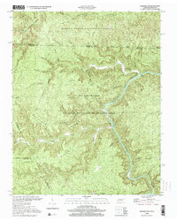 2000 Barthell SW2001 Print · USGSThe South Fork Cumberland River divides the Tennessee and Kentucky borderlands at the turn of the millennium. Researchers can find old family sites like Slaven Cem and historical rural outposts including No Business Sch and Anderson.
 - 2000 Map of Sharp Place, 2001 Print
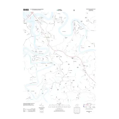
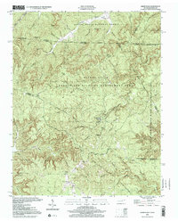 2000 Sharp Place2001 Print · USGSThe Kentucky and Tennessee borderlands appear in this detailed survey of the Upper Cumberland Plateau. Genealogists and historians can trace family roots at Sharp Place, Akers Chapel, and the Blevins Cem near Hazard Cave.
 - 2010 Map of Sharp Place, 2010 Print
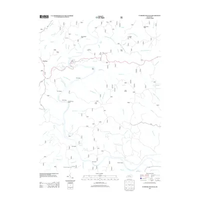
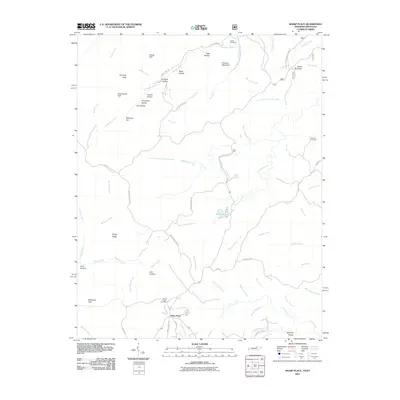 2010 Sharp Place2010 Print · USGSCovers McCreary County, including Sharp Place, Scott County, and other nearby areas
 - 2010 Map of Barthell SW, 2010 Print
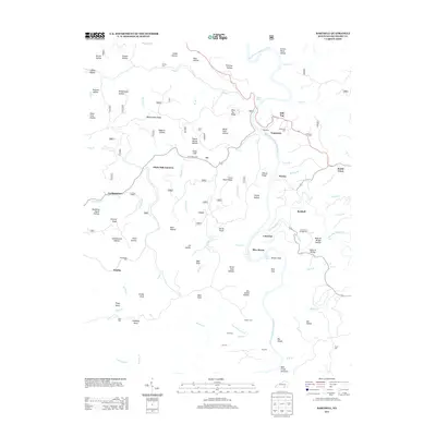
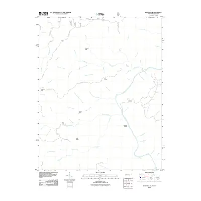 2010 Barthell SW2010 Print · USGSCovers McCreary County, including Scott County, Fentress County, and other nearby areas
 - 2010 Map of Ketchen, 2010 Print
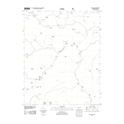 2010 Ketchen2010 Print · USGSCovers McCreary County, including Creekmore, Ketchen, and other nearby areas
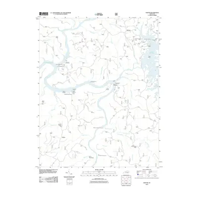
 - 2010 Map of Winfield, 2010 Print
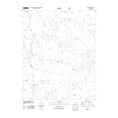
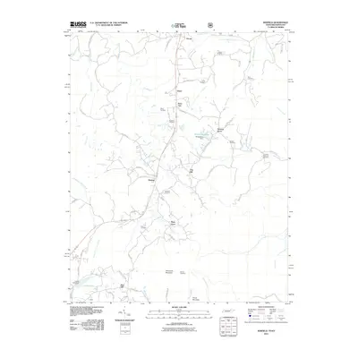 2010 Winfield2010 Print · USGSCovers McCreary County, including Oneida, Winfield, and other nearby areas
 - 2010 Map of Barthell, 2010 Print
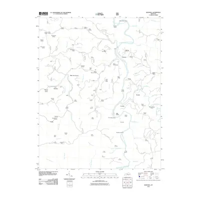 2010 Barthell2010 Print · USGSCovers McCreary County, including Blue Heron, Barthell, and other nearby areas
 - 2010 Map of Burnside, 2010 Print
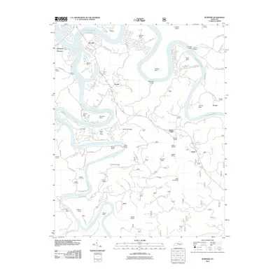 2010 Burnside2010 Print · USGSCovers McCreary County, including Burnside, Omega, and other nearby areas
 - 2010 Map of Bell Farm, 2010 Print
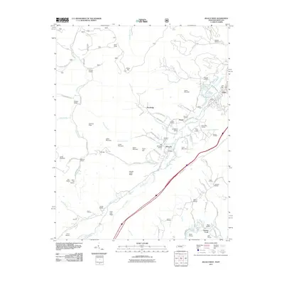
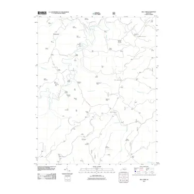 2010 Bell Farm2010 Print · USGSCovers McCreary County, including Rockybranch, Bell Farm, and other nearby areas
 - 2010 Map of Whitley City, 2010 Print
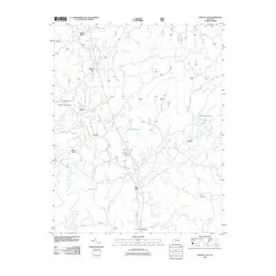 2010 Whitley City2010 Print · USGSCovers McCreary County, including Marshes Siding, Revelo, and other nearby areas
 - 2010 Map of Nevelsville, 2010 Print
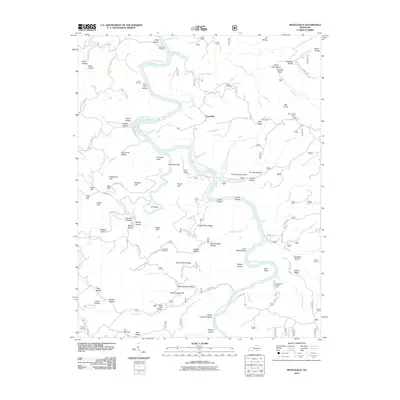 2010 Nevelsville2010 Print · USGSCovers McCreary County, including Nevelsville, Pulaski County, and other nearby areas
 - 2010 Map of Sawyer, 2010 Print
 2010 Sawyer2010 Print · USGSCovers McCreary County, including Sawyer, Baldrock, and other nearby areas
 - 2010 Map of Wiborg, 2010 Print
 2010 Wiborg2010 Print · USGSCovers McCreary County, including Beulah Heights, Flat Rock, and other nearby areas
 - 2010 Map of Hollyhill, 2010 Print
 2010 Hollyhill2010 Print · USGSCovers McCreary County, including Hollyhill, Duckrun, and other nearby areas
 - 2010 Map of Cumberland Falls, 2010 Print
 2010 Cumberland Falls2010 Print · USGSCovers McCreary County, including Honeybee, Whitley County, and other nearby areas
 - 2011 Map of Jellico West, 2011 Print
 2011 Jellico West2011 Print · USGSCovers McCreary County, including Jellico, Wooldridge, and other nearby areas
 - 2011 Map of Coopersville, 2011 Print
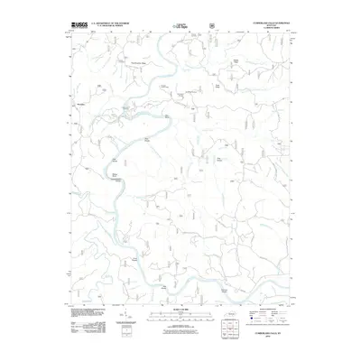
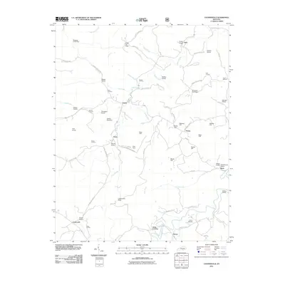 2011 Coopersville2011 Print · USGSCovers McCreary County, including Slavans, Ritner, and other nearby areas
 - 2011 Map of Hail, 2011 Print
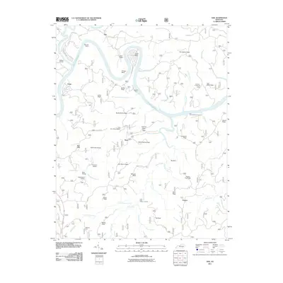 2011 Hail2011 Print · USGSCovers McCreary County, including Funston, Blue John, and other nearby areas
 - 2011 Map of Oneida North, 2011 Print
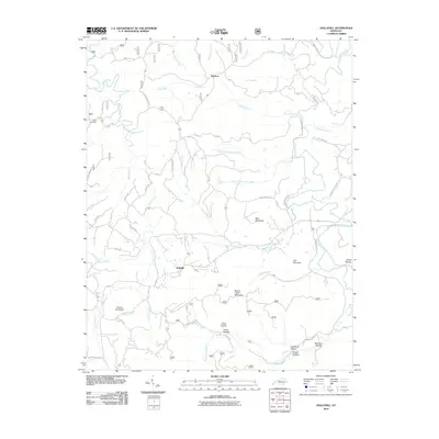
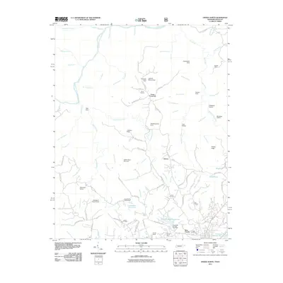 2011 Oneida North2011 Print · USGSCovers McCreary County, including Oneida, Foster Crossroads, and other nearby areas
 - 2011 Map of Parmleysville, 2011 Print
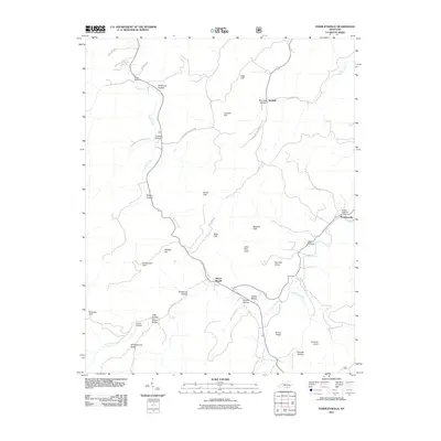 2011 Parmleysville2011 Print · USGSCovers McCreary County, including Burfield, Mount Pisgah, and other nearby areas
 - 2013 Map of Bell Farm, 2013 Print
 2013 Bell Farm2013 Print · USGSCovers McCreary County, including Rockybranch, Bell Farm, and other nearby areas
 - 2013 Map of Burnside, 2013 Print
 2013 Burnside2013 Print · USGSCovers McCreary County, including Burnside, Omega, and other nearby areas
 - 2013 Map of Cumberland Falls, 2013 Print
 2013 Cumberland Falls2013 Print · USGSCovers McCreary County, including Honeybee, Whitley County, and other nearby areas
 - 2013 Map of Barthell, 2013 Print
 2013 Barthell2013 Print · USGSCovers McCreary County, including Blue Heron, Barthell, and other nearby areas
 - 2013 Map of Parmleysville, 2013 Print
 2013 Parmleysville2013 Print · USGSCovers McCreary County, including Burfield, Mount Pisgah, and other nearby areas
Showing maps 1-25 of 92
Frequently asked questions
- What are the different types of historical maps available for McCreary County?
- What is the oldest map of McCreary County?
- Where can I purchase historical maps of McCreary County for my home or office?
- Where can I download high-res historical maps of McCreary County?
- Are there historical topographic maps available for McCreary County?
- Is there historical aerial imagery available for McCreary County?
- Where are historical maps of McCreary County sourced from?