2010s Maps of McCreary County, Kentucky
Explore 72 historic maps of McCreary County from the 2010s. These maps offer a rare glimpse into what life looked like during the 2010s — showing old roads, neighborhoods, homes, and landmarks that have changed or disappeared over time.
Whether you're researching your family's past, planning a metal detecting trip, or studying how McCreary County's landscape evolved across the 2010s, these high-resolution maps are a powerful tool for exploring the history of this region.
- Focus on a specific era: All maps on this page are from the 2010s, giving you a focused view of this time period.
- See what’s changed: Compare century-old streets, trails, and buildings to today's modern landscape using overlays and satellite layers.
- Research with precision: Use these maps for genealogy, historical research, land use analysis, or educational projects.
- View, download, or print: Maps are fully viewable online in high resolution, and can be downloaded or printed for your own records.
Start exploring McCreary County's history through authentic maps from the 2010s. This is your window into the past.
McCreary County, KY maps
(72)- 2010 Map of Sharp Place, 2010 Print
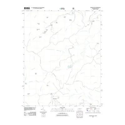 2010 Sharp Place2010 Print · USGSThe Tennessee-Kentucky border comes alive in this 2010 survey of the plateau near Sharp Place. Genealogists and hikers can trace family sites at Sharp Place Cemetery or locate natural landmarks like Chimney Rock and Pickett Lake.
 - 2010 Map of Barthell SW, 2010 Print
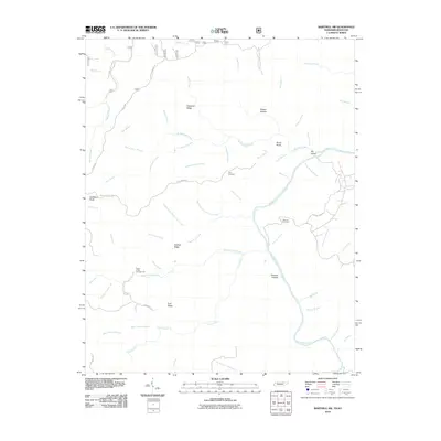 2010 Barthell SW2010 Print · USGSThe Tennessee-Kentucky borderlands come into focus here during the early twenty-first century, showcasing a landscape of high ridges and deep river hollows. Researchers can locate family landmarks like Terry Cemetery, follow the winding Station Camp Creek, or trace the paths along Hatfield Ridge.
 - 2010 Map of Ketchen, 2010 Print
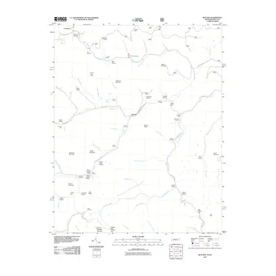 2010 Ketchen2010 Print · USGSThe Tennessee-Kentucky borderlands appear in detail at the turn of the 21st century, showing a landscape of mining and mountain hollows. Genealogists can locate family burial sites like Blankenship Cemetery and Adkins Cemetery near the Gum Fork Mine.
 - 2010 Map of Winfield, 2010 Print
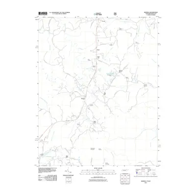 2010 Winfield2010 Print · USGSThe Tennessee-Kentucky borderlands come into focus in this 2010 survey of the rugged area surrounding Winfield. Genealogists and local historians can trace family roots through numerous sites like Chitwood Cemetery, Isham Cemetery, and the settlement at Piney Grove.
 - 2010 Map of Barthell, 2010 Print
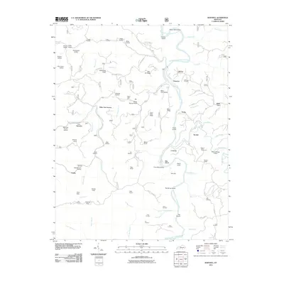 2010 Barthell2010 Print · USGSMcCreary County and the Big South Fork at the start of the 2010s show a landscape shaped by coal history and the winding Cumberland River. Researchers can trace family roots at Winchester Cemetery or explore the settlements of Blue Heron and Co-Operative.
 - 2010 Map of Burnside, 2010 Print
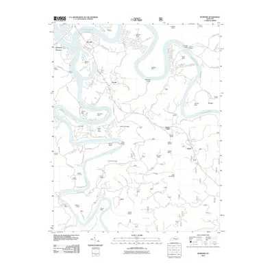 2010 Burnside2010 Print · USGSThe Cumberland River valley is captured here in the early twenty-first century as it winds through Pulaski County. Researchers can trace rural lineages through local landmarks like Cave Springs Cemetery or locate the historic river settlements of Sloans Valley and Alpine.
 - 2010 Map of Bell Farm, 2010 Print
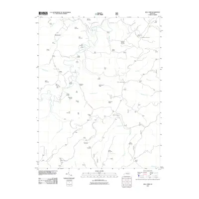 2010 Bell Farm2010 Print · USGSThe northern reaches of the Big South Fork area appear here in the early twenty-first century, showing a landscape of isolated hollows and high ridges. Genealogists can trace family locations through numerous sites like Barrier Cemetery, Griffin Cemetery, and the remote Skullbone Lookout Tower.
 - 2010 Map of Whitley City, 2010 Print
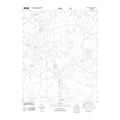 2010 Whitley City2010 Print · USGSMcCreary County at the dawn of the 2010s shows a landscape of tight-knit communities and managed forests. Genealogists and hikers can trace local routes like Old Mud Cut Rd to find Pine Knot Cemetery, Gilreath, and the Stearns State Lookout Tower.
 - 2010 Map of Nevelsville, 2010 Print
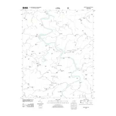 2010 Nevelsville2010 Print · USGSThe Big South Fork of the Cumberland River dominates this McCreary County landscape in the early 2000s. Researchers can trace local history through family sites like Keith Cemetery and Morton Station or explore river landmarks such as Pinnacle Rock and Hens Nest Cliff.
 - 2010 Map of Sawyer, 2010 Print
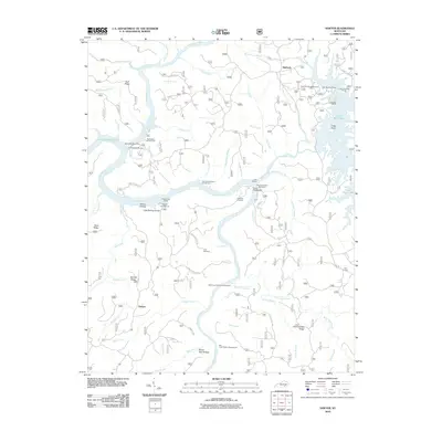 2010 Sawyer2010 Print · USGSMcCreary County at the start of the 2010s reveals a landscape deeply integrated with the Daniel Boone National Forest and Lake Cumberland. Local historians can trace family ties and community landmarks from Sawyer to Baldrock, including the Price Cemetery and Hamilton Cemetery.
 - 2010 Map of Wiborg, 2010 Print
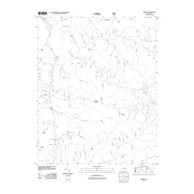 2010 Wiborg2010 Print · USGSMcCreary County's upland landscape is revealed in this modern survey of the communities near Beulah Heights and Wiborg. Researchers can locate several family burial sites including Hughes Cemetery and Barren Fork Cemetery alongside landmarks like the Stearns District Ranger Office.
 - 2010 Map of Hollyhill, 2010 Print
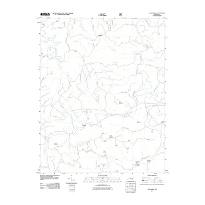 2010 Hollyhill2010 Print · USGSSouthern McCreary County is shown in detail here during the early twenty-first century, featuring the rural settlements of Hollyhill and Duckrun. Researchers can trace old family names and community landmarks such as Laurel Cemetery, Granny Holt Knob, and Kidd School Rd.
 - 2010 Map of Cumberland Falls, 2010 Print
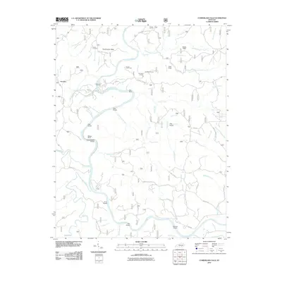 2010 Cumberland Falls2010 Print · USGSThe Cumberland River loops through the Daniel Boone National Forest near Honeybee in the early twenty-first century. Researchers can trace local heritage and geography through sites like Mariar Cemetery, Dog Slaughter Falls, and the Pinnacle Lookout Tower.
 - 2011 Map of Jellico West, 2011 Print
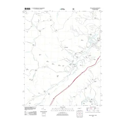 2011 Jellico West2011 Print · USGSThe mountain borderlands of Jellico and Newcomb are captured here in a period of modern development that still follows the footprints of old industry. Genealogists and local historians can locate numerous family burial sites like Beard Cemetery and Hackler Cemetery, or trace the industrial roots of Whistle Creek Mine.
 - 2011 Map of Coopersville, 2011 Print
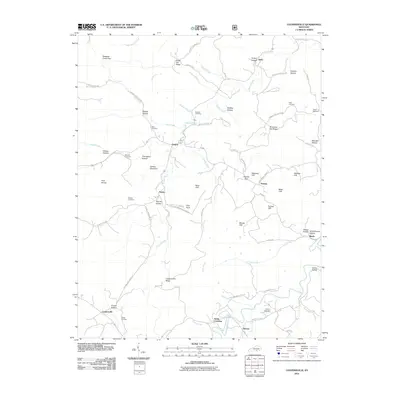 2011 Coopersville2011 Print · USGSSouthern Kentucky uplands in the early twenty-first century reveal a network of ridge-top settlements and deep hollows. Researchers can trace family history through local landmarks like Kidd Cemetery, Slavans, and the distinct Pilot Rock formation.
 - 2011 Map of Hail, 2011 Print
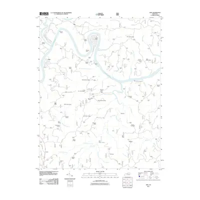 2011 Hail2011 Print · USGSMcCreary County's ridge-and-hollow landscape is captured here in the early twenty-first century as the winding Lake Cumberland cuts through the timbered terrain. Researchers can locate remote settlements like Bauer and Blue John while tracing family names at John Martin Ridge and Ferguson Hollow.
 - 2011 Map of Oneida North, 2011 Print
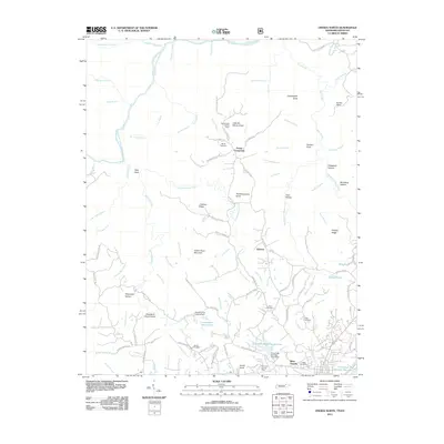 2011 Oneida North2011 Print · USGSOneida, Tennessee, and the surrounding plateau heights appear in this 2011 survey, showing the expansion of settlements and the persistent family lineages of the region. Local historians can trace ancestral sites like Boyatt Cemetery and Kidd Cemetery or locate landmarks such as the Slaven Knob Lookout Tower.
 - 2011 Map of Parmleysville, 2011 Print
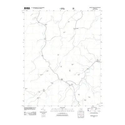 2011 Parmleysville2011 Print · USGSWayne County, Kentucky, is seen here in the early twenty-first century, showing a landscape shaped by narrow hollows and high knobs. Researchers can trace local heritage along Old Huffaker School Rd and near the settlements of Parmleysville and Burfield.
 - 2013 Map of Bell Farm, 2013 Print
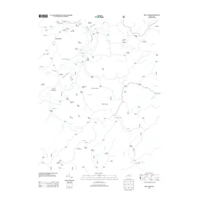 2013 Bell Farm2013 Print · USGSThe hollows of Wayne County are shown here in the early 2010s, where traditional river crossings and family cemeteries define the landscape. Genealogists can locate family burial grounds like the Barrier Cem Number 2 and trace old river fords including Steele Ford.
 - 2013 Map of Burnside, 2013 Print
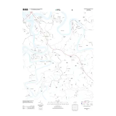 2013 Burnside2013 Print · USGSPulaski County at the height of its modern lake-country development shows a landscape shaped by the waters of the Cumberland. Genealogists can trace family names through numerous remote burial sites like Gourd Cem and Mayfield Cem or the settlement at Keno.
 - 2013 Map of Cumberland Falls, 2013 Print
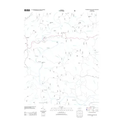 2013 Cumberland Falls2013 Print · USGSThe Cumberland River corridor in McCreary County comes alive in this modern survey, revealing a landscape of deep ridges and significant water features. Trace local landmarks like Honeybee, Mariar Cem, and the iconic Cumberland Falls.
 - 2013 Map of Barthell, 2013 Print
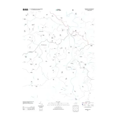 2013 Barthell2013 Print · USGSMcCreary County’s coal and river heritage is well-preserved here as it appeared in the early 21st century. Researchers can trace family roots through the many isolated burial grounds like Kidd Cem and Jones Cem, or explore the historical footprint of Blue Heron and Barthell.
 - 2013 Map of Parmleysville, 2013 Print
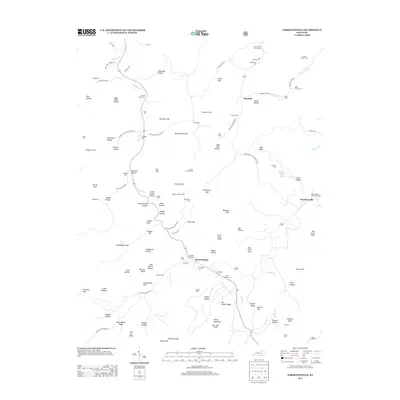 2013 Parmleysville2013 Print · USGSWayne County’s southern ridges are captured here during the early twenty-first century, showing a landscape of deep hollows and family-named landmarks. Researchers can locate numerous family burial sites like the Lewis Coffey Family Cem or trace the area's geography from the Pisgah Lookout Tower to Parmleysville.
 - 2013 Map of Hollyhill, 2013 Print
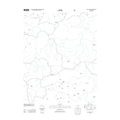 2013 Hollyhill2013 Print · USGSMcCreary County's upland landscape is captured here in the early twenty-first century, showing the rural communities of Hollyhill and Duckrun. Genealogists and local historians can trace family-named landmarks like Granny Holt Knob, Liza Mountain, and the Laurel Cem.
 - 2013 Map of Nevelsville, 2013 Print
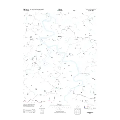 2013 Nevelsville2013 Print · USGSMcCreary County's river-carved ridges and remote hollows are documented here during the early twenty-first century. Researchers can locate numerous family burial sites and landmarks like Morton Station, Jane Keith Cem, and the prominent Pinnacle Rock.
Showing maps 1-25 of 72
Frequently asked questions
- What are the different types of historical maps available for McCreary County?
- What is the oldest map of McCreary County?
- Where can I purchase historical maps of McCreary County for my home or office?
- Where can I download high-res historical maps of McCreary County?
- Are there historical topographic maps available for McCreary County?
- Is there historical aerial imagery available for McCreary County?
- Where are historical maps of McCreary County sourced from?