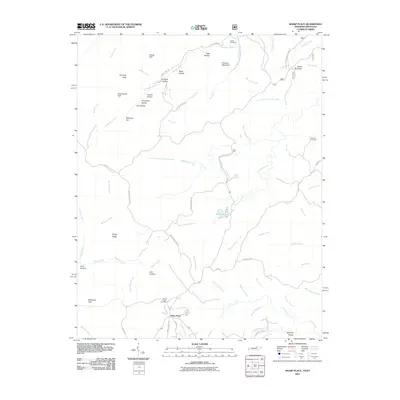
2010 Map of Sharp Place
USGS Topo · Published 2010About this map
Sharp Place sits at the heart of this landscape along the Tennessee-Kentucky border, where the terrain is defined by deep hollows and prominent overlooks. The settlement pattern is largely influenced by the drainage networks of Flint Fork and Thompson Creek, which carve through the plateau. Significant family and community landmarks like Sharp Place Cemetery, Dobbs Cemetery, and Blevins Cemetery are distributed throughout the area, providing important reference points for genealogical research. The topography is further distinguished by named rock formations and high points, including Chimney Rock, Yellow Cliff, and Pinnacle Mountain. Near the center of the sheet, Pickett Lake and Natural Bridge Creek highlight the presence of water-sculpted features, while the southern boundary includes Moccasin Gap and Bearpen Rough, suggesting a transition into more heavily timbered or difficult terrain.
Find a feature on this map
67 named features on this map. Tap any name to fly to it.
Don’t see what you’re looking for? This feature index may not catch every label — zoom into the map to look around manually.
Map Details
Editions of this 2010 Sharp Place Map
This is the sole edition of this map. No revisions or reprints were ever made.
Other maps of this area

1895 · Wartburg
USGS Topo · 1:125,000

1896 · Wartburg
USGS Topo · 1:125,000

1934 · Barthell
USGS Topo · 1:62,500

1934 · Pall Mall
USGS Topo · 1:62,500

1952 · Honey Creek
USGS Topo · 1:24,000

1954 · Stockton
USGS Topo · 1:24,000

1954 · Parmleysville
USGS Topo · 1:24,000

1954 · Jamestown
USGS Topo · 1:24,000

1954 · Powersburg
USGS Topo · 1:24,000

1954 · Bell Farm
USGS Topo · 1:24,000