Old Maps of Concord, Kentucky for Hiking & Exploration
Hike through history with 11 historic maps of Concord. Explore old trails, ghost towns, and forgotten backroads — perfect for outdoor adventurers and local explorers.
- Rediscover forgotten places: Map out old mining camps, roads, and footpaths that no longer exist on modern maps.
- Layer with modern tools: Combine with LiDAR or satellite views to plan hikes through historical terrain.
- Made for exploration: Popular among hikers, overlanders, and local history lovers.
Use these maps to find adventure and explore the hidden past of Concord.
Concord, KY maps
(11)- 1930 Map of Falmouth
 1930 Falmouth1930 Print · USGSPendleton and Harrison counties are shown here in the early thirties, centered on the river-and-rail hub of Falmouth. Genealogists and historians can locate dozens of country institutions like Bunker Hill Sch, Mt Carmel Ch, and the riverside station at Catawba.
 - 1936 Map of Falmouth
 1936 Falmouth1936 Print · USGSPendleton and Harrison counties come to life in this mid-depression era survey of the Licking River valley. Genealogists can trace family footprints across a landscape dotted with dozens of rural landmarks like Beagle Sch, Morgan, and Mt Carmel Ch.2 unique versions available
 - 1954 Map of Falmouth, 1955 Print
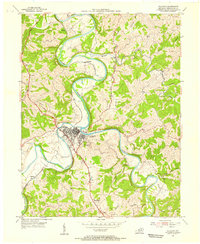 1954 Falmouth1955 Print · USGSThe Licking River forks meet at the heart of Pendleton County in the mid-1950s, a landscape shaped by water and rail. Genealogists and local historians can trace the paths between Falmouth, Catawba, and the Louisville and Nashville railroad corridor.2 unique versions available
 - 1956 Map of Louisville, 1971 Print
 1956 Louisville1971 Print · USGSThe Ohio River valley and the Kentucky Bluegrass are captured here during a period of rapid mid-century growth and industrial activity. Genealogists and historians can trace rail-centered towns and military land use at Fort Knox and the Jefferson Proving Ground.2 unique versions available
 - 1964 Map of Louisville
 1964 Louisville1964 Print · USGSThe Ohio River valley and Kentucky Bluegrass are captured in the mid-1960s, showing a region balanced between industrial growth and its agrarian roots. Genealogists and historians can trace the development of county seats like Shelbyville and Paris, or locate established institutions such as Georgetown College and Bernheim Forest.
 - 1986 Map of Falmouth
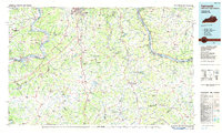 1986 Falmouth1986 Print · USGSNorthern Kentucky and the Ohio River valley are shown here in the mid-1980s, highlighting the region's complex river-and-rail geography. Genealogists and researchers can trace the roads connecting Big Bone Lick, Zion Church, and river towns like Falmouth and Augusta.2 unique versions available
 - 2010 Map of Falmouth, 2010 Print
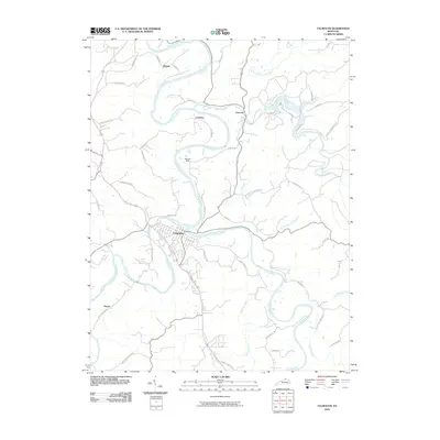 2010 Falmouth2010 Print · USGSPendleton County's river-bottom lands and ridge roads are documented in the early twenty-first century, centered on the confluence at Falmouth. Researchers can trace old routes and small settlements like Catawba and Menzie along the winding Licking River.
 - 2013 Map of Falmouth, 2013 Print
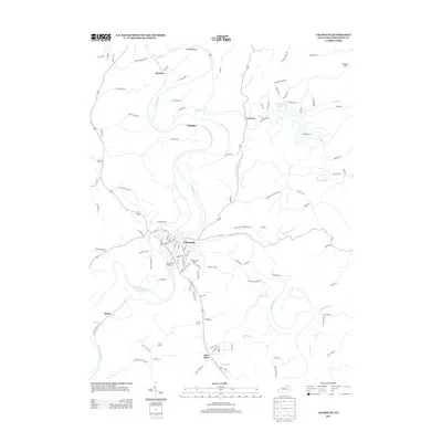 2013 Falmouth2013 Print · USGSPendleton County life in the early twenty-first century is centered on the confluence of the forks of the Licking River. Researchers can trace the layout of Falmouth, locate family plots at Beech Grove Cemetery, or explore the rural reaches of Four Oaks and Catawba.
 - 2016 Map of Falmouth, 2016 Print
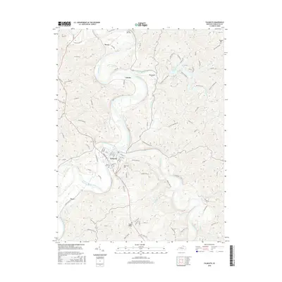 2016 Falmouth2016 Print · USGSThe confluence of the main and south forks of the Licking River defines this Pendleton County landscape in the mid-2010s. Researchers can locate family landmarks and burial sites like Beech Grove Cem, alongside rural hamlets including Catawba, Menzie, and Four Oaks.
 - 2019 Map of Falmouth, 2019 Print
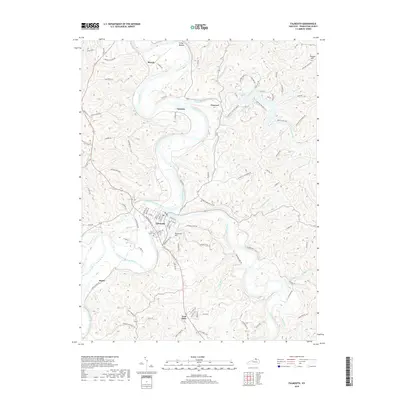 2019 Falmouth2019 Print · USGSPendleton County is centered on the confluence of the Licking River and its South Fork in this recent survey. Researchers can trace family history at Beech Grove Cemetery or locate old homesteads near Four Oaks, Catawba, and Hayes.
 - 2022 Map of Falmouth, 2022 Print
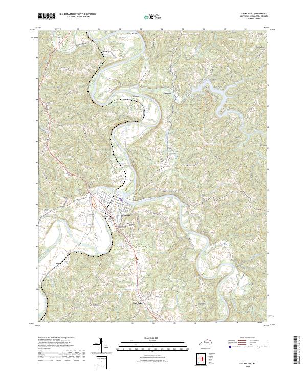 2022 Falmouth2022 Print · USGSThe confluence of the Licking River and South Fork Licking River defines this Pendleton County landscape in the early 2020s. Researchers can locate family landmarks like Beech Grove Cem or trace rural settlements such as Catawba, Four Oaks, and Menzie.
End of results
Showing maps 1-11 of 11
Top cities near Concord
- Independence historical maps
- Alexandria historical maps
- New Richmond historical maps
- Falmouth historical maps
- Ryland Heights historical maps
- Felicity historical maps
See more
Frequently asked questions
- What are the different types of historical maps available for Concord?
- What is the oldest map of Concord?
- Where can I purchase historical maps of Concord for my home or office?
- Where can I download high-res historical maps of Concord?
- Are there historical topographic maps available for Concord?
- Is there historical aerial imagery available for Concord?
- Where are historical maps of Concord sourced from?