2010s Maps of Russell County, Kentucky
Explore 52 historic maps of Russell County from the 2010s. These maps offer a rare glimpse into what life looked like during the 2010s — showing old roads, neighborhoods, homes, and landmarks that have changed or disappeared over time.
Whether you're researching your family's past, planning a metal detecting trip, or studying how Russell County's landscape evolved across the 2010s, these high-resolution maps are a powerful tool for exploring the history of this region.
- Focus on a specific era: All maps on this page are from the 2010s, giving you a focused view of this time period.
- See what’s changed: Compare century-old streets, trails, and buildings to today's modern landscape using overlays and satellite layers.
- Research with precision: Use these maps for genealogy, historical research, land use analysis, or educational projects.
- View, download, or print: Maps are fully viewable online in high resolution, and can be downloaded or printed for your own records.
Start exploring Russell County's history through authentic maps from the 2010s. This is your window into the past.
Russell County, KY maps
(52)- 2010 Map of Russell Springs, 2010 Print
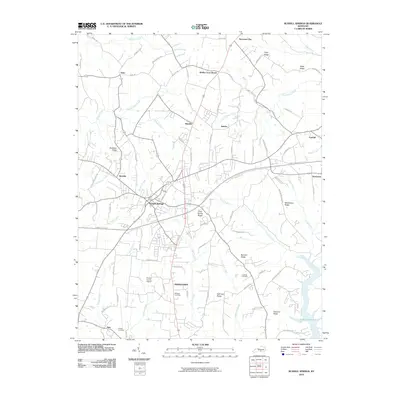 2010 Russell Springs2010 Print · USGSRussell Springs and the surrounding Kentucky ridges are captured here in the early twenty-first century as the region balanced growth and rural tradition. Researchers can trace family history through sites like Lucenda Cemetery or the old crossroads at Sano and Esto.
 - 2010 Map of Cumberland City, 2010 Print
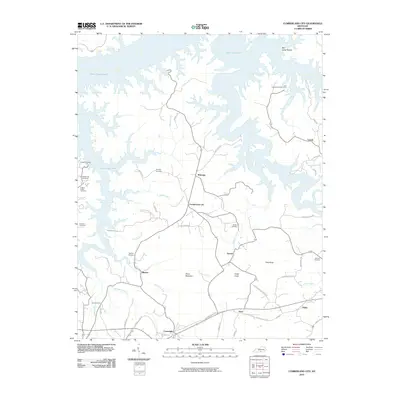 2010 Cumberland City2010 Print · USGSClinton County's rolling landscape meets the deep waters of the reservoir in the early twenty-first century. Genealogists and local historians can trace legacy landmarks like Brumley Cemetery, the crossroads at Cumberland City, and the shoreline at Grider Hill Dock.
 - 2010 Map of Creelsboro, 2010 Print
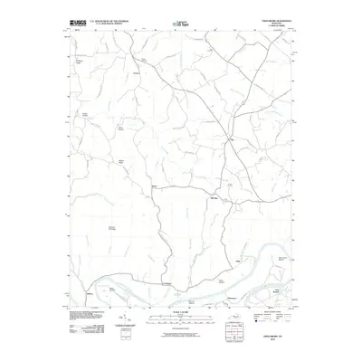 2010 Creelsboro2010 Print · USGSThe Cumberland River valley comes alive in this contemporary survey of Russell County. Researchers can trace ancestral locations around Creelsboro, Old Olga, and Manntown, or find family landmarks like Ragen Cemetery and Dixon Cemetery.
 - 2010 Map of Jamestown, 2010 Print
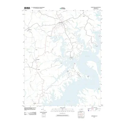 2010 Jamestown2010 Print · USGSRussell County's lake-front landscape is captured here in the early twenty-first century as the waters of Lake Cumberland reach deep into the Kentucky hills. Researchers can trace rural communities like Rowena and Freedom or locate family sites at Lawless Cemetery and Murray Cemetery.
 - 2010 Map of Eli, 2010 Print
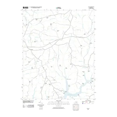 2010 Eli2010 Print · USGSRussell County, Kentucky, is shown in the early twenty-first century as rural communities overlook the inlets of the regional reservoir. Researchers can trace family history at the Eli Cemetery or locate old home sites near Honey Acre and Whittle.
 - 2010 Map of Mill Springs, 2010 Print
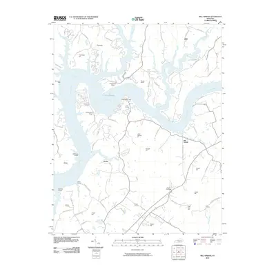 2010 Mill Springs2010 Print · USGSSouthern Kentucky's river landscape is captured here in the early twenty-first century as the Cumberland River winds through the hills. Genealogists can trace family heritage through several burial sites like Morrow Cemetery and Sloan Cemetery near the settlement of Mill Springs.
 - 2010 Map of Phil, 2010 Print
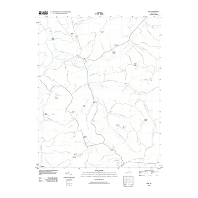 2010 Phil2010 Print · USGSCasey County ridge country is captured here in the early twenty-first century, showing a landscape defined by its hollows and river bends. Researchers can trace family roots through Carson Cemetery and Miller Cemetery or locate the rural hubs of Phil and Teddy.
 - 2010 Map of Amandaville, 2010 Print
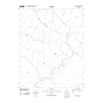 2010 Amandaville2010 Print · USGSCumberland County in the early twenty-first century remains a landscape of high ridges and winding creek valleys. Genealogists can trace family footprints across Chestnut Flat Ridge and locate historical burial grounds like Stotts Cemetery and Lewis Cemetery.
 - 2010 Map of Montpelier, 2010 Print
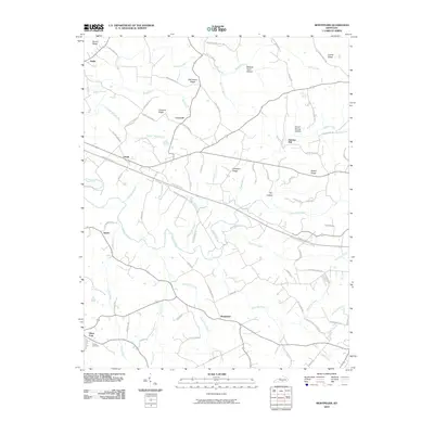 2010 Montpelier2010 Print · USGSAdair County at the start of the century reveals a landscape of dispersed rural settlements and family-named ridges. Researchers can trace local heritage through sites like Wesley Cemetery and follow the old routes connecting Gentrys Mill to Joppa.
 - 2010 Map of Wolf Creek Dam, 2010 Print
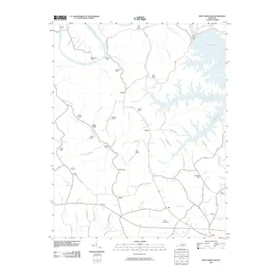 2010 Wolf Creek Dam2010 Print · USGSClinton County's river-carved landscape is shown here following the late-century developments of the Wolf Creek Dam. Trace local lineage and rural networks through settlements like Seventy Six and Ida, or find burial sites at Lewis Cemetery.
 - 2010 Map of Dunnville, 2010 Print
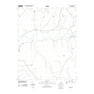 2010 Dunnville2010 Print · USGSAdair County's rural river valleys and family ridges are preserved here as they appeared in the early twenty-first century. Genealogists can trace family heritage through local landmarks like Thomastown Cemetery, William Cemetery, and the settlements of Pellyton and Dunnville.
 - 2010 Map of Jabez, 2010 Print
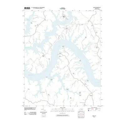 2010 Jabez2010 Print · USGSThe intricate shoreline of Lake Cumberland and the high ridges of south-central Kentucky are shown here in the early twenty-first century. Researchers can trace family history at the Military Cemetery or locate old homesteads near Jabez and Ono.
 - 2010 Map of Faubush, 2010 Print
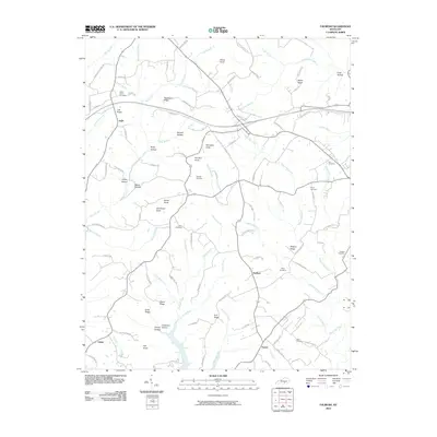 2010 Faubush2010 Print · USGSRussell County's rural landscape is documented here in the early twenty-first century, showing the small communities of Ingle and Norfleet. Genealogists and local historians can locate numerous family burial sites, including the Floyd Cemetery, Hudson Cemetery, and Cedar Point Cemetery.
 - 2013 Map of Creelsboro, 2013 Print
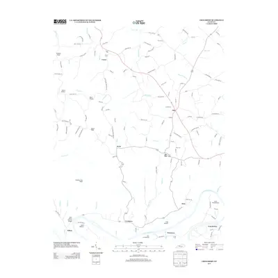 2013 Creelsboro2013 Print · USGSRussell County's riverfront communities are captured here in the early twenty-first century, showing the enduring agricultural landscape along the Cumberland. Researchers can locate the Rock House Natural Bridge and trace family roots at Ragen Cem or Old Olga.
 - 2013 Map of Mill Springs, 2013 Print
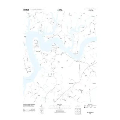 2013 Mill Springs2013 Print · USGSNorth of Monticello in the early twenty-first century, the shoreline of Lake Cumberland shapes the geography of this rural Kentucky landscape. Genealogists and local historians can trace family locations near Mill Springs and locate older burial sites like Morrow Cem and Smith Cem.
 - 2013 Map of Jabez, 2013 Print
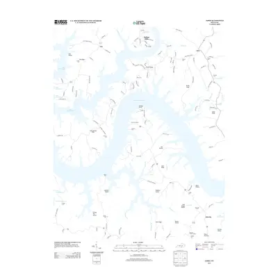 2013 Jabez2013 Print · USGSThe intricate shoreline of Lake Cumberland defines this section of Kentucky in the early twenty-first century. Researchers can trace family history through numerous ridge-top burial sites like Hatfield Cem and Rogers Cem or locate the site of Camp Earl Wallace.
 - 2013 Map of Amandaville, 2013 Print
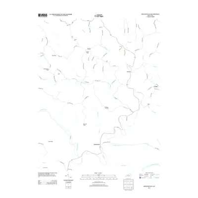 2013 Amandaville2013 Print · USGSCumberland County’s ridge-and-hollow country is documented here in the early twenty-first century, showing the rural character of the southern Kentucky hills. Researchers can locate family landmarks like McGinnis Cem or Harvey Ridge and trace the paths of Crocus Cr through Amandaville.
 - 2013 Map of Jamestown, 2013 Print
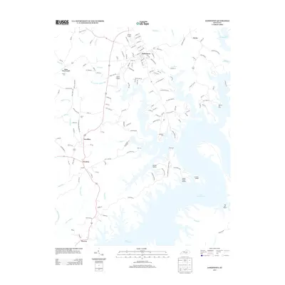 2013 Jamestown2013 Print · USGSJamestown and the surrounding Russell County uplands are shown here in the era of modern lake recreation. Genealogists and local historians can trace family locations near Sewellton, Freedom, and cemeteries such as Keen Cem and Murray Cem.
 - 2013 Map of Cumberland City, 2013 Print
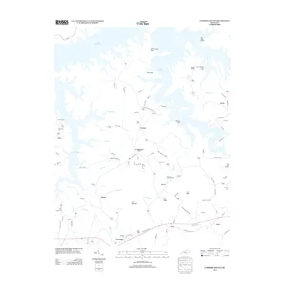 2013 Cumberland City2013 Print · USGSCumberland County is shown here in the modern era as a region defined by the expansive reaches of Lake Cumberland. Researchers can trace local lineage through several family-named burial grounds like Brumley Cem and Shelton Cem or explore the rural hubs of Watauga and Cartwright.
 - 2013 Map of Wolf Creek Dam, 2013 Print
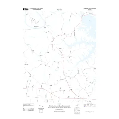 2013 Wolf Creek Dam2013 Print · USGSClinton County’s ridge-and-hollow terrain is captured here in the early twenty-first century, centered on the communities of Desda and Seventy Six. Genealogists can locate family landmarks like Lewis Cem, the Seminary church, and the site of Winfreys Ferry on the Cumberland River.
 - 2013 Map of Russell Springs, 2013 Print
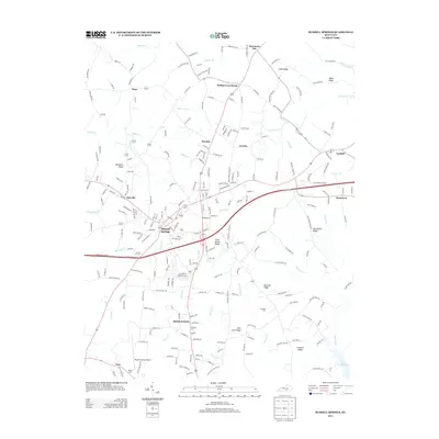 2013 Russell Springs2013 Print · USGSRussell County at the start of the 2010s shows a landscape of ridge-top settlements and winding creek valleys. Researchers can trace family history through sites like Lucenda Cem or locate the old crossroads at Webbs Cross Roads and Fonthill.
 - 2013 Map of Dunnville, 2013 Print
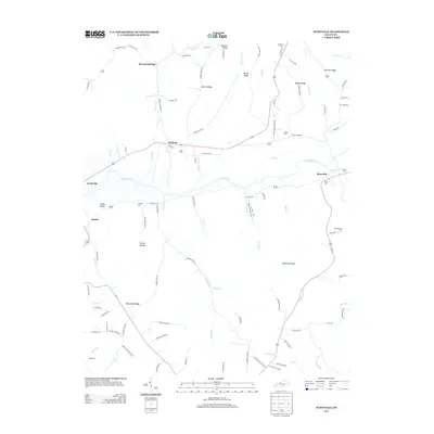 2013 Dunnville2013 Print · USGSSouth-central Kentucky’s river valleys and upland ridges are captured here during the early 2010s. Local researchers can trace family roots through numerous burial sites like Hatfield Cem and Williams Cem, or explore the rural layout of Pellyton and Neatsville.
 - 2013 Map of Montpelier, 2013 Print
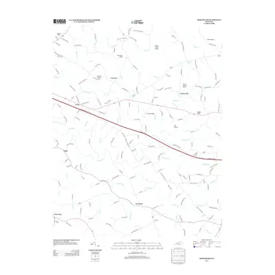 2013 Montpelier2013 Print · USGSSouthern Kentucky's agricultural landscape is seen here in the early twenty-first century, centered on the community of Montpelier. Genealogists and local historians can trace family roots through landmarks like Gentrys Mill, Wesley Cem, and the rural crossroads of Ozark.
 - 2013 Map of Phil, 2013 Print
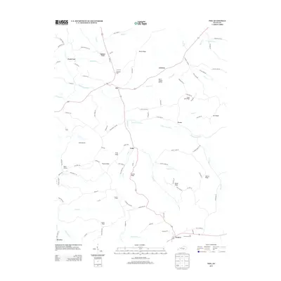 2013 Phil2013 Print · USGSCasey County's rural landscape is captured here in the early twenty-first century, showing a network of ridge-top roads and river-bottom crossings. Researchers can locate family landmarks like Pumpkin Chapel, Burton Ridge, and the distinct Flatwoods Section.
 - 2013 Map of Faubush, 2013 Print
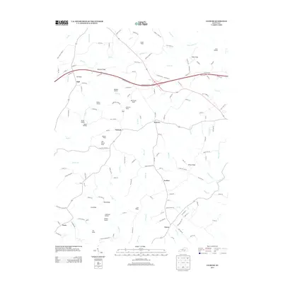 2013 Faubush2013 Print · USGSFaubush and its surrounding ridge communities are captured here in the early twenty-first century as the Cumberland Parkway reshaped local transit. Researchers can trace family ties through Black Ridge Cemetery and ancestral landmarks like Barker Knob or Old Brown Knob.
Showing maps 1-25 of 52
Top cities of Russell County
Frequently asked questions
- What are the different types of historical maps available for Russell County?
- What is the oldest map of Russell County?
- Where can I purchase historical maps of Russell County for my home or office?
- Where can I download high-res historical maps of Russell County?
- Are there historical topographic maps available for Russell County?
- Is there historical aerial imagery available for Russell County?
- Where are historical maps of Russell County sourced from?