2000s (21st Century) Maps of Trigg County, Kentucky
Explore 75 historic maps of Trigg County from the 2000s (21st Century). These maps offer a rare glimpse into what life looked like during the 2000s — showing old roads, neighborhoods, homes, and landmarks that have changed or disappeared over time.
Whether you're researching your family's past, planning a metal detecting trip, or studying how Trigg County's landscape evolved across the 2000s, these high-resolution maps are a powerful tool for exploring the history of this region.
- Focus on a specific era: All maps on this page are from the 2000s, giving you a focused view of this time period.
- See what’s changed: Compare century-old streets, trails, and buildings to today's modern landscape using overlays and satellite layers.
- Research with precision: Use these maps for genealogy, historical research, land use analysis, or educational projects.
- View, download, or print: Maps are fully viewable online in high resolution, and can be downloaded or printed for your own records.
Start exploring Trigg County's history through authentic maps from the 2000s. This is your window into the past.
Trigg County, KY maps
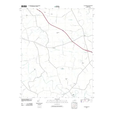
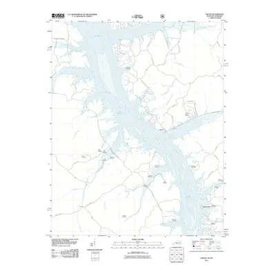
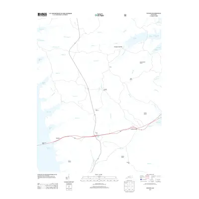
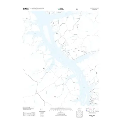
(75)- 2010 Map of Cadiz, 2010 Print
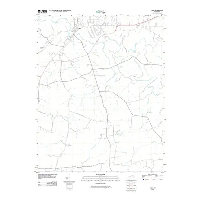 2010 Cadiz2010 Print · USGSCovers Trigg County, including Cadiz, United States, and other nearby areas
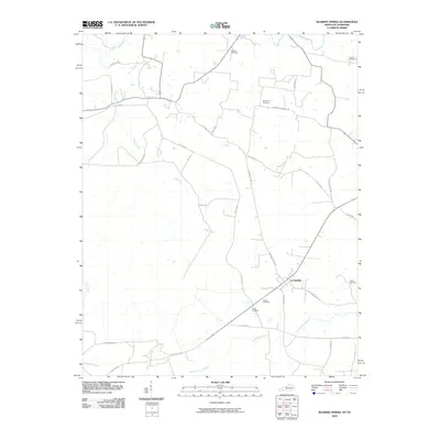
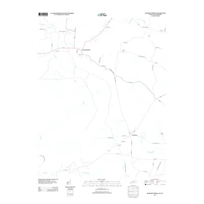
 - 2010 Map of Dawson Springs SW, 2010 Print
 2010 Dawson Springs SW2010 Print · USGSCovers Trigg County, including Hawkins, Ruth, and other nearby areas
 - 2010 Map of Cobb, 2010 Print
 2010 Cobb2010 Print · USGSCovers Trigg County, including Cadiz, Hopson, and other nearby areas
 - 2010 Map of Gracey, 2010 Print
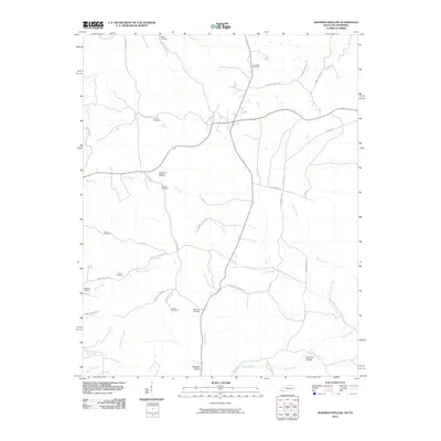
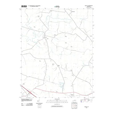 2010 Gracey2010 Print · USGSCovers Trigg County, including Cadiz, Bainbridge, and other nearby areas
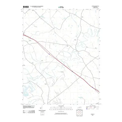
 - 2010 Map of Lamasco, 2010 Print
 2010 Lamasco2010 Print · USGSCovers Trigg County, including Rockcastle, Blue Water Estates, and other nearby areas
 - 2010 Map of Caledonia, 2010 Print
 2010 Caledonia2010 Print · USGSCovers Trigg County, including Cadiz, Binns Mill, and other nearby areas
 - 2010 Map of Roaring Spring, 2010 Print
 2010 Roaring Spring2010 Print · USGSCovers Trigg County, including La Fayette, Roaring Spring, and other nearby areas
 - 2010 Map of Johnson Hollow, 2010 Print
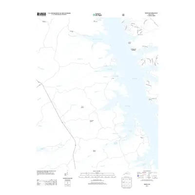
 2010 Johnson Hollow2010 Print · USGSCovers Trigg County, including Stewart County, United States, and other nearby areas
 - 2010 Map of Canton, 2010 Print
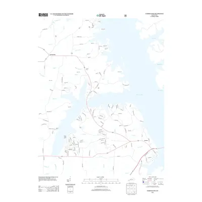
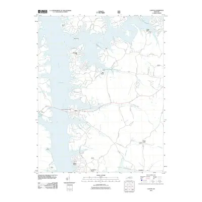 2010 Canton2010 Print · USGSCovers Trigg County, including Cedar Point, Cumberland Shores, and other nearby areas
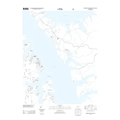
 - 2010 Map of Birmingham Point, 2010 Print
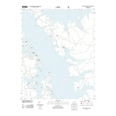 2010 Birmingham Point2010 Print · USGSCovers Trigg County, including Grand Rivers, Cambridge Shores, and other nearby areas
 - 2010 Map of Mont, 2010 Print
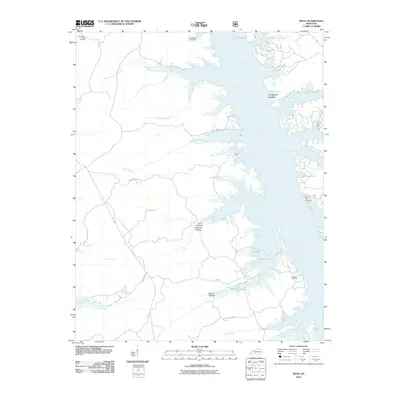 2010 Mont2010 Print · USGSCovers Trigg County, including Commerce Landing, Lyon County, and other nearby areas
 - 2010 Map of Fenton, 2010 Print
 2010 Fenton2010 Print · USGSCovers Trigg County, including Marshall County, United States, and other nearby areas
 - 2011 Map of Fairdealing, 2011 Print
 2011 Fairdealing2011 Print · USGSCovers Trigg County, including Fairdealing, Aurora, and other nearby areas
 - 2011 Map of Linton, 2011 Print
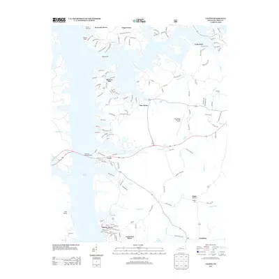
 2011 Linton2011 Print · USGSCovers Trigg County, including Linton, Tobaccoport, and other nearby areas
 - 2011 Map of Rushing Bay, 2011 Print
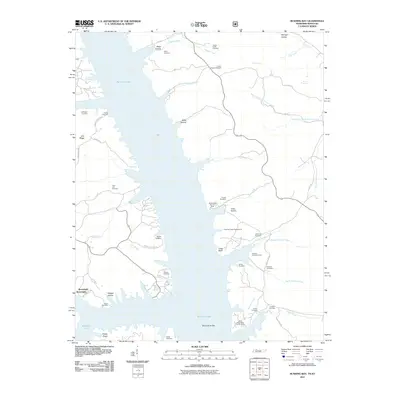 2011 Rushing Bay2011 Print · USGSCovers Trigg County, including Boatwright, Calloway County, and other nearby areas
 - 2013 Map of Mont, 2013 Print
 2013 Mont2013 Print · USGSCovers Trigg County, including Commerce Landing, Lyon County, and other nearby areas
 - 2013 Map of Birmingham Point, 2013 Print
 2013 Birmingham Point2013 Print · USGSCovers Trigg County, including Grand Rivers, Cambridge Shores, and other nearby areas
 - 2013 Map of Fenton, 2013 Print
 2013 Fenton2013 Print · USGSCovers Trigg County, including Marshall County, United States, and other nearby areas
 - 2013 Map of Fairdealing, 2013 Print
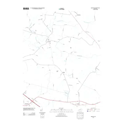
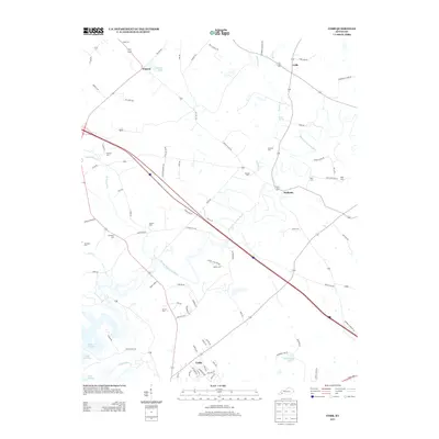
 2013 Fairdealing2013 Print · USGSCovers Trigg County, including Fairdealing, Aurora, and other nearby areas
 - 2013 Map of Gracey, 2013 Print
 2013 Gracey2013 Print · USGSCovers Trigg County, including Cadiz, Bainbridge, and other nearby areas
 - 2013 Map of Canton, 2013 Print
 2013 Canton2013 Print · USGSCovers Trigg County, including Cedar Point, Cumberland Shores, and other nearby areas
 - 2013 Map of Linton, 2013 Print
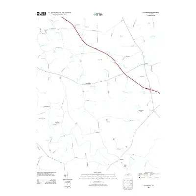
 2013 Linton2013 Print · USGSCovers Trigg County, including Linton, Tobaccoport, and other nearby areas
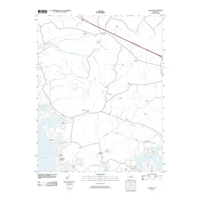
 - 2013 Map of Caledonia, 2013 Print
 2013 Caledonia2013 Print · USGSCovers Trigg County, including Cadiz, Binns Mill, and other nearby areas
 - 2013 Map of Cobb, 2013 Print
 2013 Cobb2013 Print · USGSCovers Trigg County, including Cadiz, Hopson, and other nearby areas
 - 2013 Map of Roaring Spring, 2013 Print
 2013 Roaring Spring2013 Print · USGSCovers Trigg County, including La Fayette, Roaring Spring, and other nearby areas
Showing maps 1-25 of 75
Top cities of Trigg County
Frequently asked questions
- What are the different types of historical maps available for Trigg County?
- What is the oldest map of Trigg County?
- Where can I purchase historical maps of Trigg County for my home or office?
- Where can I download high-res historical maps of Trigg County?
- Are there historical topographic maps available for Trigg County?
- Is there historical aerial imagery available for Trigg County?
- Where are historical maps of Trigg County sourced from?