2010s Maps of Trigg County, Kentucky
Explore 60 historic maps of Trigg County from the 2010s. These maps offer a rare glimpse into what life looked like during the 2010s — showing old roads, neighborhoods, homes, and landmarks that have changed or disappeared over time.
Whether you're researching your family's past, planning a metal detecting trip, or studying how Trigg County's landscape evolved across the 2010s, these high-resolution maps are a powerful tool for exploring the history of this region.
- Focus on a specific era: All maps on this page are from the 2010s, giving you a focused view of this time period.
- See what’s changed: Compare century-old streets, trails, and buildings to today's modern landscape using overlays and satellite layers.
- Research with precision: Use these maps for genealogy, historical research, land use analysis, or educational projects.
- View, download, or print: Maps are fully viewable online in high resolution, and can be downloaded or printed for your own records.
Start exploring Trigg County's history through authentic maps from the 2010s. This is your window into the past.
Trigg County, KY maps
(60)- 2010 Map of Cadiz, 2010 Print
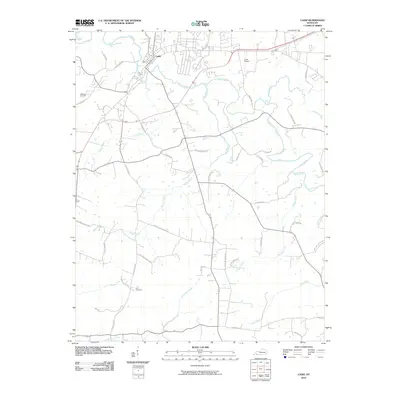 2010 Cadiz2010 Print · USGSCadiz and the surrounding Trigg County countryside are captured here in the early twenty-first century, showing a landscape deeply shaped by its waterways. Genealogists can trace family footprints at Jefferson Cemetery and Ezell Cemetery or along rural routes like Old Dover Rd.
 - 2010 Map of Dawson Springs SW, 2010 Print
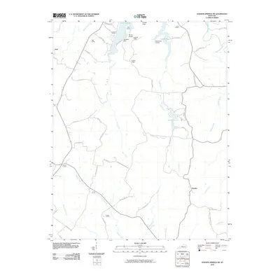 2010 Dawson Springs SW2010 Print · USGSChristian County's rural ridges and recreation areas are captured here at the start of the decade. Genealogists and local historians can locate family burial sites like Shyflat Cemetery and Irvin Cemetery or trace the shores of Lake Beshear.
 - 2010 Map of Cobb, 2010 Print
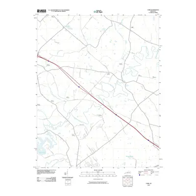 2010 Cobb2010 Print · USGSTrigg County's rural landscape is captured here in the early twenty-first century, centered on the community of Cobb. Genealogists can trace family heritage through numerous burial sites including Nabb, Minton, and Hanberry near the Muddy Fork Little River.
 - 2010 Map of Gracey, 2010 Print
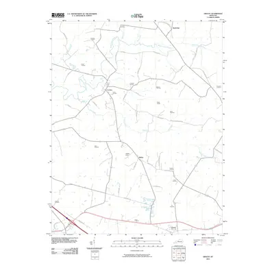 2010 Gracey2010 Print · USGSSouthwestern Kentucky's rural character is preserved in this study of the Trigg and Christian County area during the early twenty-first century. Researchers can locate numerous family burial grounds like Lander Cemetery and Roach Cemetery near settlements like Cerulean and Gracey.
 - 2010 Map of Lamasco, 2010 Print
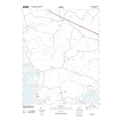 2010 Lamasco2010 Print · USGSTrigg County's riverfront and wooded interior are documented here during the early twenty-first century as Lake Barkley defines the western shore. Genealogists can trace dozens of family burial sites like Steinbaugh Cemetery and Wynn Cemetery or locate the historic Trigg Furnace.
 - 2010 Map of Caledonia, 2010 Print
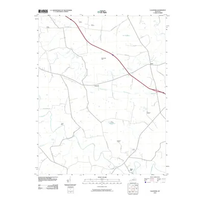 2010 Caledonia2010 Print · USGSCaledonia and the Trigg County countryside are captured here in the early twenty-first century, showcasing a landscape of family farms and river bends. Genealogists can trace deep local roots through numerous sites like Stapp Cemetery, Binns Mill, and Old Presbyterian Cemetery.
 - 2010 Map of Roaring Spring, 2010 Print
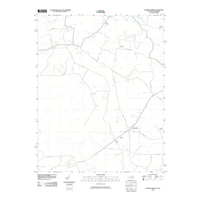 2010 Roaring Spring2010 Print · USGSLa Fayette and its rural surroundings are captured here in the early twenty-first century, showing a landscape defined by historic family burial grounds and winding creeks. Genealogists can locate sites like Elliott Cemetery or Powell Cemetery along roads like Dyers Chapel Rd.
 - 2010 Map of Johnson Hollow, 2010 Print
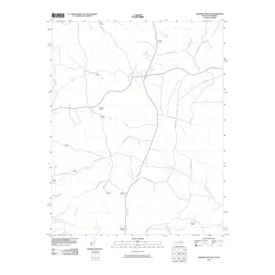 2010 Johnson Hollow2010 Print · USGSTrigg County at the start of the twenty-first century remains a landscape of deeply etched hollows and family-named cemeteries. Researchers can trace ancestral roots at sites like Skinner Cemetery or Atkins Cemetery and follow the paths of Old Dover Rd.
 - 2010 Map of Canton, 2010 Print
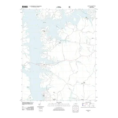 2010 Canton2010 Print · USGSThe shorelines of Trigg County are captured here just after the first decade of the millennium, showing a landscape shaped by water and local history. Genealogists and historians can trace numerous family burial sites like Bridges Cemetery and Liberty Point Cemetery or locate the community at Canton.
 - 2010 Map of Birmingham Point, 2010 Print
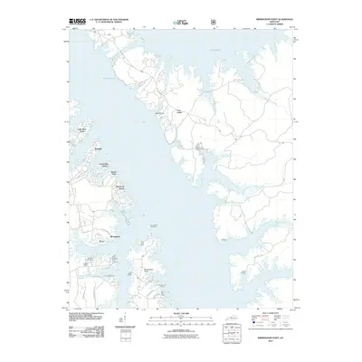 2010 Birmingham Point2010 Print · USGSThe Land Between the Lakes region is shown here in the early twenty-first century as a hub for recreation and lakeside living. Researchers can trace the legacy of displaced communities through the Birmingham Cemetery and the shoreline of Kentucky Lake.
 - 2010 Map of Mont, 2010 Print
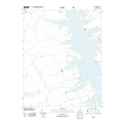 2010 Mont2010 Print · USGSThe eastern shores of Lake Barkley are captured here in the early twenty-first century, showing the intricate intersection of water and woodland. Genealogists and local historians can locate several family burial grounds like Rolling Hills Cemetery and Buckner Cemetery near the landings at Mont and Commerce Landing.
 - 2010 Map of Fenton, 2010 Print
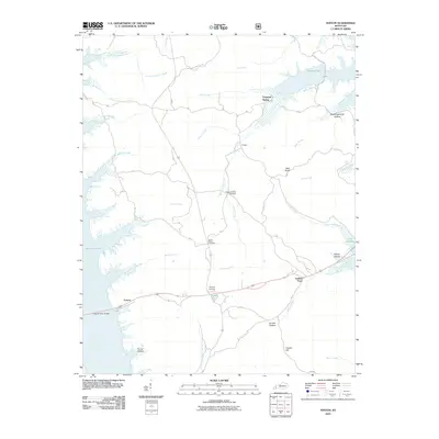 2010 Fenton2010 Print · USGSWestern Kentucky’s peninsula between the lakes is captured here in the early twenty-first century. Researchers can trace landforms and local heritage sites like Jenny Ridge Cemetery, the Eggner Ferry Bridge, and the community of Golden Pond.
 - 2011 Map of Fairdealing, 2011 Print
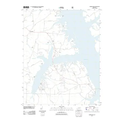 2011 Fairdealing2011 Print · USGSKentucky Lake dominates this Marshall County landscape in the early 2010s, where small settlements meet the waterfront. Genealogists can trace numerous family burial sites like Page Cemetery and Hiatt Cemetery alongside the waters of Clear Creek.
 - 2011 Map of Linton, 2011 Print
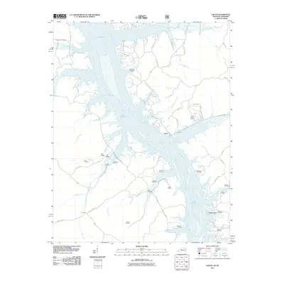 2011 Linton2011 Print · USGSLinton and the surrounding river country are shown here in the early twenty-first century as the landscape settles around the waters of Lake Barkley. Genealogists can trace family heritage through numerous burial sites like Jimerson Cemetery, Kingins Cemetery, and Tobaccoport.
 - 2011 Map of Rushing Bay, 2011 Print
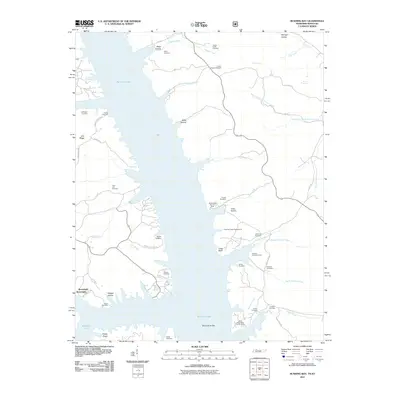 2011 Rushing Bay2011 Print · USGSKentucky Lake's intricate shoreline and the surrounding ridges of Calloway County are captured here in the early twenty-first century. Researchers can trace dozens of family burial sites and old landmarks like Boatwright, Rushing Creek Cemetery, and Blood River Bar.
 - 2013 Map of Mont, 2013 Print
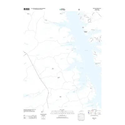 2013 Mont2013 Print · USGSLake Barkley dominates the landscape near Commerce Landing in the early twenty-first century. Genealogists and local historians can trace family ties at Henderson Chapel Cemetery or explore the shores of Mammoth Furnace Bay and Honker Lake.
 - 2013 Map of Birmingham Point, 2013 Print
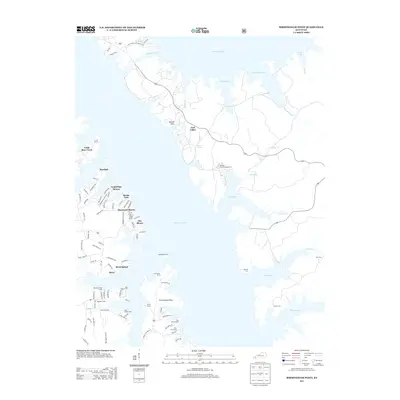 2013 Birmingham Point2013 Print · USGSThe Land Between the Lakes comes into focus in this modern era, showing the developed western shoreline and the protected eastern woods. Genealogists can locate several waterfront burial sites like Birmingham Cem and Newby Cem near the Barkley Canal.
 - 2013 Map of Fenton, 2013 Print
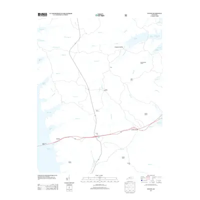 2013 Fenton2013 Print · USGSThe peninsula between the great western Kentucky reservoirs is captured here in the early twenty-first century. Genealogists and local historians can trace legacy sites like Jenny Ridge Cem and Matheny Cem or locate the old landing at Fenton near the Eggner Ferry Bridge.
 - 2013 Map of Fairdealing, 2013 Print
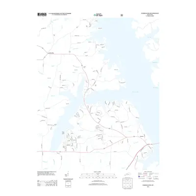 2013 Fairdealing2013 Print · USGSThe western shores of Kentucky Lake are captured here in the early twenty-first century, showing the developed waterfronts near Fairdealing. Genealogists can trace family landmarks like Price Cem, McLoad Cem, and the Pirates Cove Airport.
 - 2013 Map of Gracey, 2013 Print
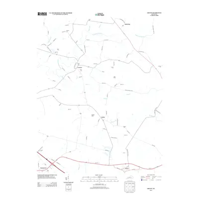 2013 Gracey2013 Print · USGSThe Trigg County countryside near Cerulean and Gracey is captured here in the early twenty-first century. Researchers can trace family history through numerous rural burial sites like Lander Cem and Roach Cem or locate landmarks like Buffalo Knob.
 - 2013 Map of Canton, 2013 Print
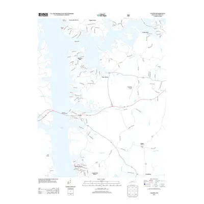 2013 Canton2013 Print · USGSLake Barkley defines the western landscape of Trigg County in the early twenty-first century, where modern shoreline communities meet the area's older rural roots. Researchers can locate numerous historic burial sites like Liberty Point Cem and Carr Cem or trace the area near Trigg Furnace.
 - 2013 Map of Linton, 2013 Print
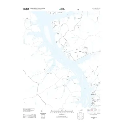 2013 Linton2013 Print · USGSThe Kentucky-Tennessee borderlands appear here in the early twenty-first century, defined by the sprawling waters of Lake Barkley. Researchers can locate numerous family burial grounds like Wiggins Cem and Mt Vernon Cem near the historic settlements of Linton and Tobaccoport.
 - 2013 Map of Caledonia, 2013 Print
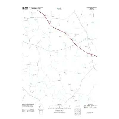 2013 Caledonia2013 Print · USGSCaledonia and the surrounding karst plains of Trigg County appear here during the early twenty-first century. Genealogists and local historians can trace family burial sites like Old Presbyterian Cem or Nancy Cem and locate historical landmarks like Binns Mill.
 - 2013 Map of Cobb, 2013 Print
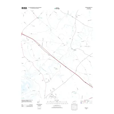 2013 Cobb2013 Print · USGSTrigg County settlements and family lands are captured here in the early twenty-first century, centered on the Muddy Fork Little River. Local historians can trace dozens of family-named landmarks and cemeteries, including Wallonia, Hopson, and Kenady Cem.
 - 2013 Map of Roaring Spring, 2013 Print
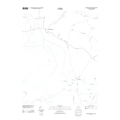 2013 Roaring Spring2013 Print · USGSTracing the Kentucky-Tennessee borderlands in the early 2010s, this map captures the rural character of Christian County before recent development. Genealogists can locate family landmarks like Dawson Cem and Simmons Cem near La Fayette.
Showing maps 1-25 of 60
Top cities of Trigg County
Frequently asked questions
- What are the different types of historical maps available for Trigg County?
- What is the oldest map of Trigg County?
- Where can I purchase historical maps of Trigg County for my home or office?
- Where can I download high-res historical maps of Trigg County?
- Are there historical topographic maps available for Trigg County?
- Is there historical aerial imagery available for Trigg County?
- Where are historical maps of Trigg County sourced from?