2020s Maps of Ascension Parish, Louisiana
Explore 20 historic maps of Ascension Parish from the 2020s. These maps offer a rare glimpse into what life looked like during the 2020s — showing old roads, neighborhoods, homes, and landmarks that have changed or disappeared over time.
Whether you're researching your family's past, planning a metal detecting trip, or studying how Ascension Parish's landscape evolved across the 2020s, these high-resolution maps are a powerful tool for exploring the history of this region.
- Focus on a specific era: All maps on this page are from the 2020s, giving you a focused view of this time period.
- See what’s changed: Compare century-old streets, trails, and buildings to today's modern landscape using overlays and satellite layers.
- Research with precision: Use these maps for genealogy, historical research, land use analysis, or educational projects.
- View, download, or print: Maps are fully viewable online in high resolution, and can be downloaded or printed for your own records.
Start exploring Ascension Parish's history through authentic maps from the 2020s. This is your window into the past.
Ascension Parish, LA maps
(20)- 2020 Map of Mount Airy NW, 2020 Print
 2020 Mount Airy NW2020 Print · USGSCovers Ascension Parish, including Livingston Parish, St. John the Baptist Parish, and other nearby areas
 - 2020 Map of Gonzales, 2020 Print
 2020 Gonzales2020 Print · USGSCovers Ascension Parish, including Gonzales, Sorrento, and other nearby areas
 - 2020 Map of Saint Gabriel, 2020 Print
 2020 Saint Gabriel2020 Print · USGSCovers Ascension Parish, including Baton Rouge, Saint George, and other nearby areas
 - 2020 Map of Belle Rose, 2020 Print
 2020 Belle Rose2020 Print · USGSCovers Ascension Parish, including Donaldsonville, Palo Alto, and other nearby areas
 - 2020 Map of Carville, 2020 Print
 2020 Carville2020 Print · USGSCovers Ascension Parish, including Miles, Noel, and other nearby areas
 - 2020 Map of Donaldsonville, 2020 Print
 2020 Donaldsonville2020 Print · USGSCovers Ascension Parish, including Donaldsonville, White Hall, and other nearby areas
 - 2020 Map of Sorrento, 2020 Print
 2020 Sorrento2020 Print · USGSCovers Ascension Parish, including Sorrento, Acy, and other nearby areas
 - 2020 Map of French Settlement, 2020 Print
 2020 French Settlement2020 Print · USGSCovers Ascension Parish, including French Settlement, Port Vincent, and other nearby areas
 - 2020 Map of Prairieville, 2020 Print
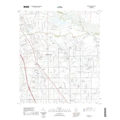 2020 Prairieville2020 Print · USGSCovers Ascension Parish, including St. George, Prairieville, and other nearby areas
 - 2020 Map of Convent, 2020 Print
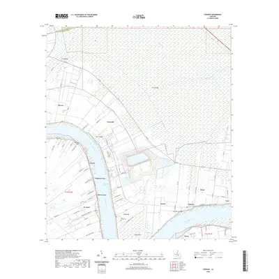 2020 Convent2020 Print · USGSCovers Ascension Parish, including Convent, Grand Point, and other nearby areas
 - 2024 Map of Prairieville, 2024 Print
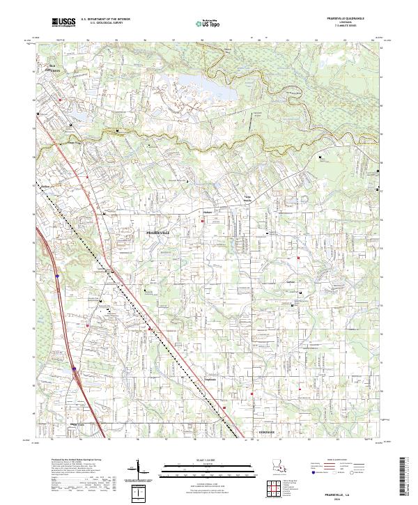 2024 Prairieville2024 Print · USGSPrairieville and the surrounding Ascension Parish settlements are shown in detail as they appear in the early twenty-first century. Genealogists can trace numerous local burial sites including Broussard Family Cem, Ficklin Cem, and the Prairieville Cem near Muddy Creek.
 - 2024 Map of Convent, 2024 Print
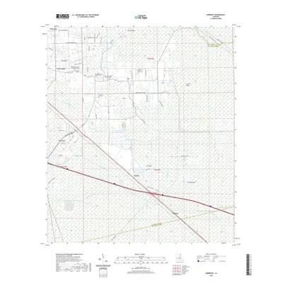
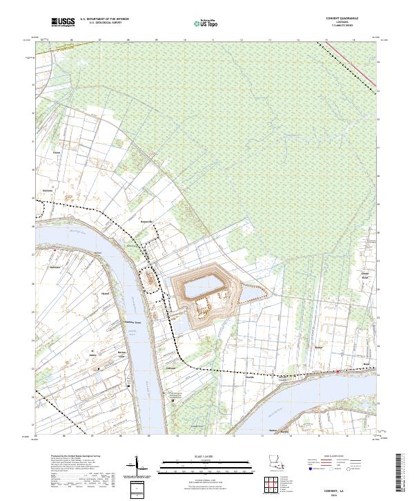 2024 Convent2024 Print · USGSThe river parishes of Louisiana come to life in this recent survey of the Mississippi corridor. Genealogists can trace family heritage through sites like Saint Michael the Archangel Cem and Mausoleum, Chatman Town, and the settlement of Hester.
 - 2024 Map of Gonzales, 2024 Print
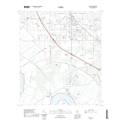
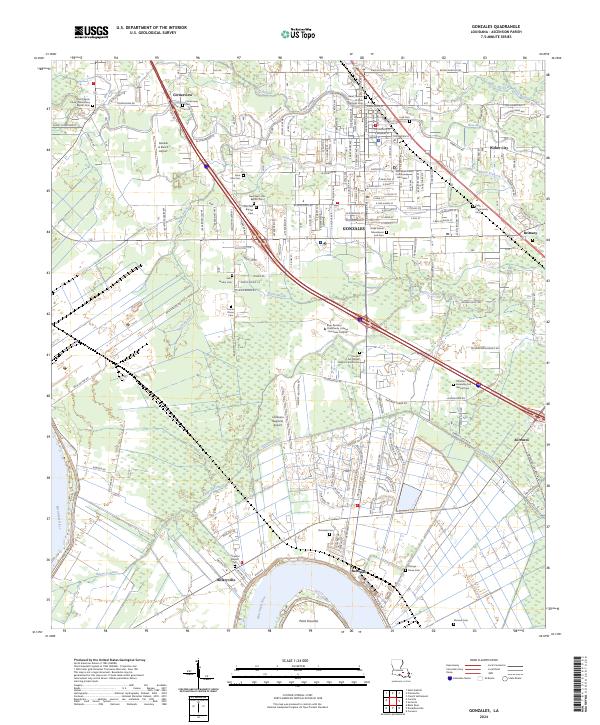 2024 Gonzales2024 Print · USGSThe Louisiana bayou country around Gonzales is captured here as it balances its historic riverfront roots with modern growth. Researchers can trace numerous family and parish burial grounds like Lusk Cem and Burnside Cem along the Mississippi River and Bayou Conway.
 - 2024 Map of Donaldsonville, 2024 Print
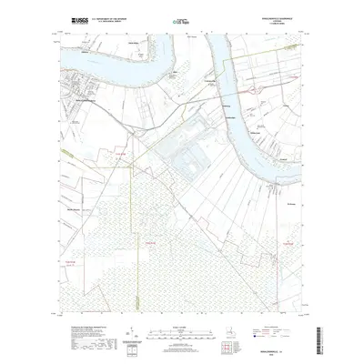
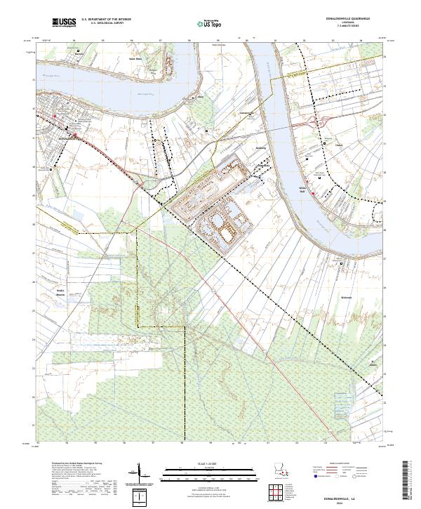 2024 Donaldsonville2024 Print · USGSThe river bends of Ascension and St. James Parishes are documented here in detail, showcasing the historic layout of DONALDSONVILLE and its surrounding river road settlements. Genealogists can trace family locations through numerous sites like Philippian Cem, Mount Bethel Baptist Church Cem, and Aben.
 - 2024 Map of Mount Airy NW, 2024 Print
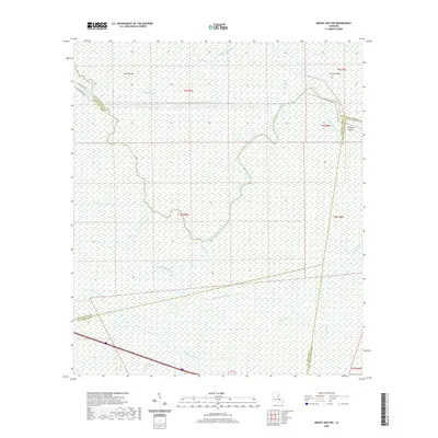
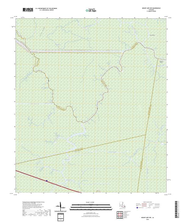 2024 Mount Airy NW2024 Print · USGSThe swampy parish borders of southern Louisiana are captured in this recent survey, showing the complex interaction of bayous and man-made canals. Researchers can trace the winding course of the Blind River, the drainage at Alligator Island, and the path of the New River Canal.
 - 2024 Map of Sorrento, 2024 Print
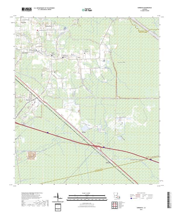 2024 Sorrento2024 Print · USGSThe lowlands of Ascension Parish come alive in this survey of the river-and-canal systems south of the Amite. Researchers can trace family sites at Holy Rosary Catholic Cem and Mausoleum and explore the historic crossroads of Saint Amant and Sorrento.
 - 2024 Map of French Settlement, 2024 Print
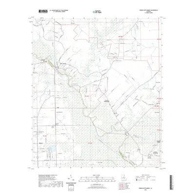
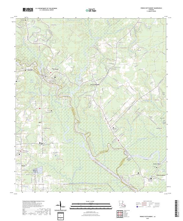 2024 French Settlement2024 Print · USGSThe river-bound parishes of Livingston and Ascension come to life in this recent survey of the swampy Amite River lowlands. Researchers can trace family history through several parish sites including Saint Joseph Catholic Cem, the French Settlement Ferry, and the settlement of Head of Island.
 - 2024 Map of Belle Rose, 2024 Print
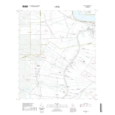
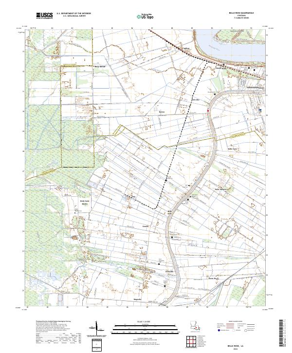 2024 Belle Rose2024 Print · USGSThe Mississippi River and Bayou Lafourche corridor near Donaldsonville are shown in the 2020s. Genealogists can locate family burial sites at First Israel Baptist Church Cem, Saint Augustine Cem, and Saint Jules Cem.
 - 2024 Map of Saint Gabriel, 2024 Print
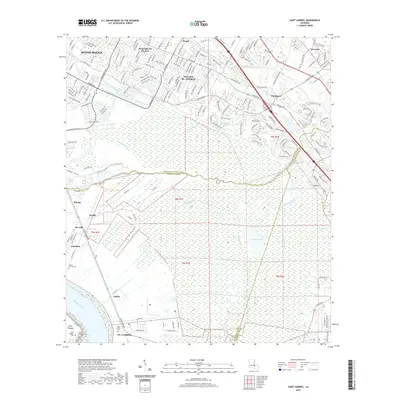
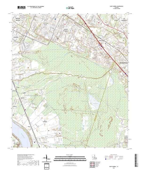 2024 Saint Gabriel2024 Print · USGSThe river parishes of Iberville and Ascension are captured here in the early twenty-first century, showing the interface of suburban expansion and deep wetlands. Researchers can trace the grounds of Saint Gabriel Cem, find Old Jefferson, or follow the winding Bayou Manchac.
 - 2024 Map of Carville, 2024 Print
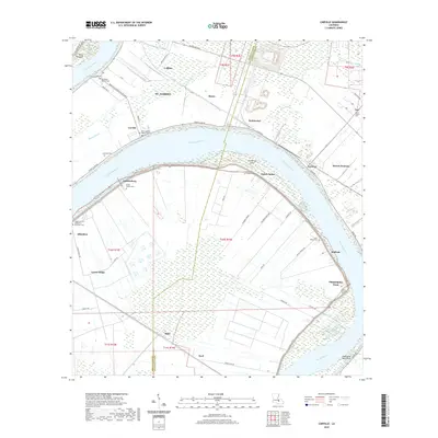
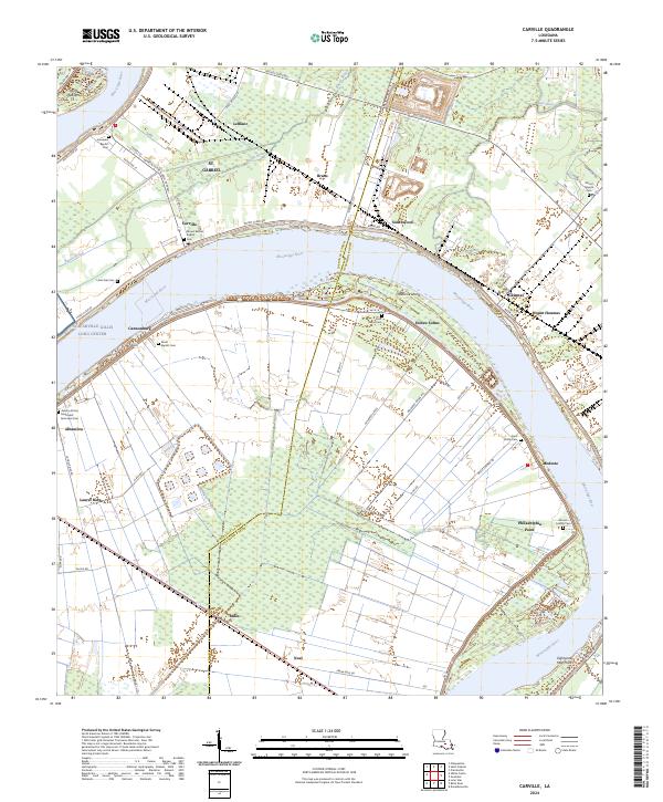 2024 Carville2024 Print · USGSThe sweeping meanders of the Mississippi River define life in Ascension and Iberville Parishes during the twenty-first century. Researchers can trace the heritage of local river communities through sites like Hohen Solms, Philadelphia Point, and the Asbery African Methodist Episcopal Cem.
End of results
Showing maps 1-20 of 20
Top cities of Ascension Parish
- Prairieville historical maps
- Gonzales historical maps
- Donaldsonville historical maps
- Sorrento historical maps
Frequently asked questions
- What are the different types of historical maps available for Ascension Parish?
- What is the oldest map of Ascension Parish?
- Where can I purchase historical maps of Ascension Parish for my home or office?
- Where can I download high-res historical maps of Ascension Parish?
- Are there historical topographic maps available for Ascension Parish?
- Is there historical aerial imagery available for Ascension Parish?
- Where are historical maps of Ascension Parish sourced from?