2020s Maps of Haughton, Louisiana
Explore 8 historic maps of Haughton from the 2020s. These maps offer a rare glimpse into what life looked like during the 2020s — showing old roads, neighborhoods, homes, and landmarks that have changed or disappeared over time.
Whether you're researching your family's past, planning a metal detecting trip, or studying how Haughton's landscape evolved across the 2020s, these high-resolution maps are a powerful tool for exploring the history of this region.
- Focus on a specific era: All maps on this page are from the 2020s, giving you a focused view of this time period.
- See what’s changed: Compare century-old streets, trails, and buildings to today's modern landscape using overlays and satellite layers.
- Research with precision: Use these maps for genealogy, historical research, land use analysis, or educational projects.
- View, download, or print: Maps are fully viewable online in high resolution, and can be downloaded or printed for your own records.
Start exploring Haughton's history through authentic maps from the 2020s. This is your window into the past.
Haughton, LA maps
(8)- 2020 Map of Koran, 2020 Print
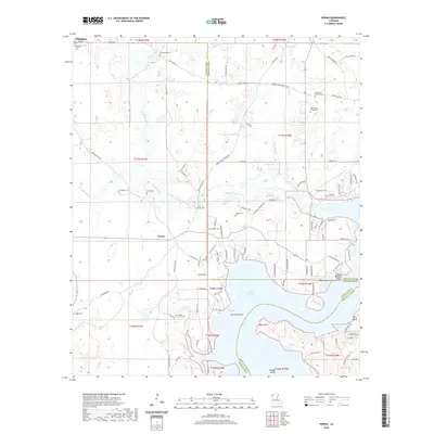 2020 Koran2020 Print · USGSCovers Haughton, including Koran, Plum Orchard Landing, and other nearby areas
 - 2020 Map of Eastwood, 2020 Print
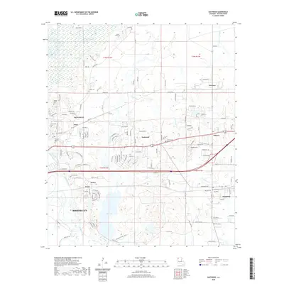 2020 Eastwood2020 Print · USGSCovers Haughton, including Bossier City, South Merrywoods, and other nearby areas
 - 2020 Map of Sligo, 2020 Print
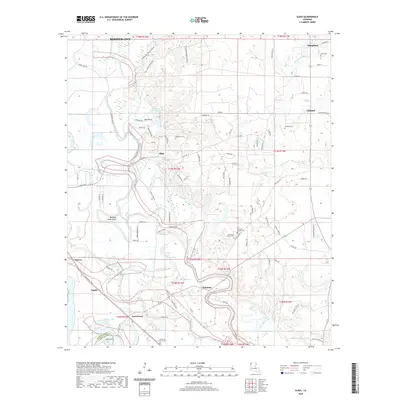 2020 Sligo2020 Print · USGSCovers Haughton, including Bossier City, Sligo, and other nearby areas
 - 2020 Map of Doyline, 2020 Print
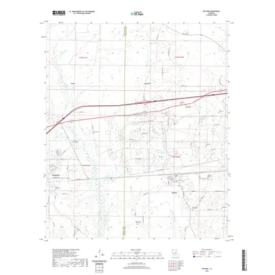 2020 Doyline2020 Print · USGSCovers Haughton, including Doyline, Goodwill, and other nearby areas
 - 2024 Map of Doyline, 2024 Print
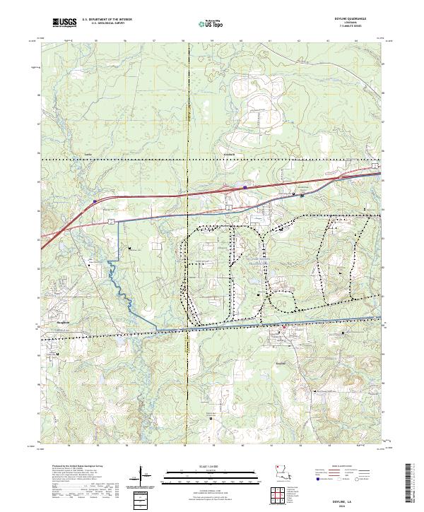 2024 Doyline2024 Print · USGSThe Bossier and Webster Parish line comes into focus in this recent survey, showcasing the evolution of local settlements and military infrastructure. Researchers can locate numerous family burial sites and rural landmarks, including Doyline Cem, Pilgrims Rest Church Cem, and the NG Camp Minden Training Site.
 - 2024 Map of Eastwood, 2024 Print
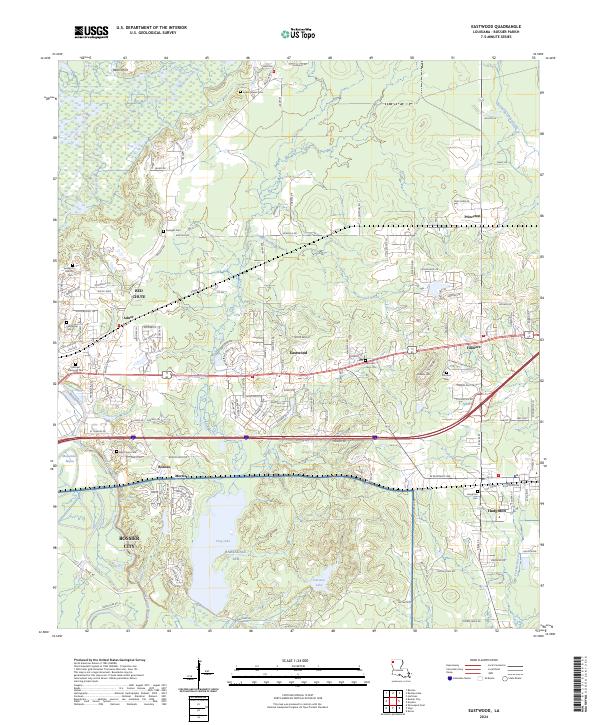 2024 Eastwood2024 Print · USGSBossier Parish at the start of the twenty-first century reveals a landscape where growing communities meet the vast Barksdale AFB. Genealogists can locate family sites at Haughton Cem, Fillmore Cem, and the secluded Sunlight Cem.
 - 2024 Map of Sligo, 2024 Print
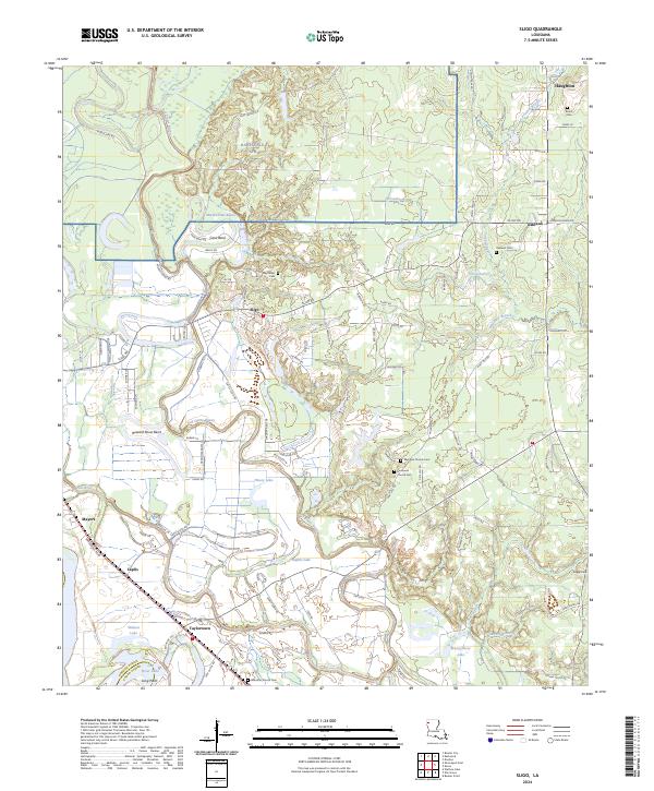 2024 Sligo2024 Print · USGSNorthwestern Louisiana reveals a complex landscape of bayous and rural settlements in this modern survey. Researchers can trace family history through local landmarks like Sligo and Taylortown, or locate remote burial sites at Mayflower Cem and Oakland Cem.
 - 2024 Map of Koran, 2024 Print
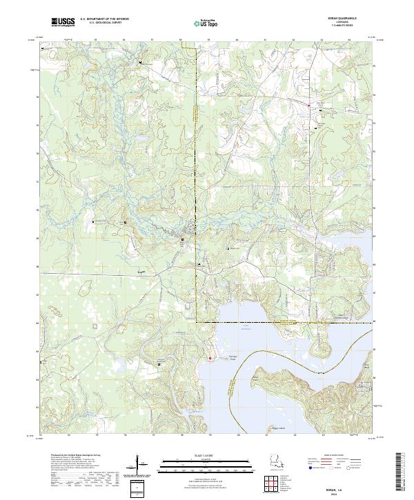 2024 Koran2024 Print · USGSThe tri-parish borderlands of Bossier, Webster, and Bienville converge here along the northern shores of the lake. Researchers can trace numerous family burial sites and rural congregations, including Jerusalem Cem, Koran Cem, and West Lake Chapel.
End of results
Showing maps 1-8 of 8
Top cities near Haughton
- Shreveport historical maps
- Bossier City historical maps
- Minden historical maps
- Benton historical maps
- Ringgold historical maps
- Sibley historical maps
See more
Frequently asked questions
- What are the different types of historical maps available for Haughton?
- What is the oldest map of Haughton?
- Where can I purchase historical maps of Haughton for my home or office?
- Where can I download high-res historical maps of Haughton?
- Are there historical topographic maps available for Haughton?
- Is there historical aerial imagery available for Haughton?
- Where are historical maps of Haughton sourced from?