Old Maps of Hurricane, Louisiana for Metal Detecting
Plan your next treasure hunt with 13 historic maps of Hurricane. Find old homesites, ghost towns, trails, and gathering spots that may be lost to time — perfect for identifying promising metal detecting locations.
- Locate forgotten sites: Uncover places like long-lost settlements, abandoned rail lines, or gathering spots.
- Plan better hunts: Use map overlays combined with LiDAR or satellite views to narrow in on historically rich areas.
- Made for detectorists: Thousands of hobbyists use these maps to discover relics, coins, and hidden history.
Use these historic maps to boost your research and find new opportunities beneath the surface of Hurricane.
Hurricane, LA maps
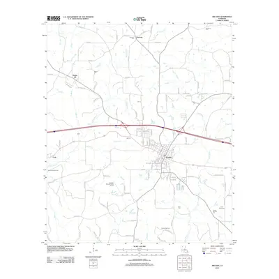
(13)- 1950 Map of Arcadia, 1960 Print
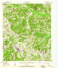 1950 Arcadia1960 Print · USGSNorthern Louisiana during the mid-century was a landscape of dense rail corridors and rural schoolhouses. Genealogists can trace the ILLINOIS CENTRAL line through ARCADIA and find remote landmarks like Macedonia Ch and Point Pleasant Cem.4 unique versions available
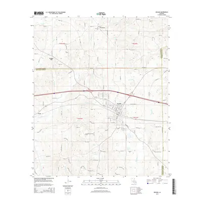
 - 1951 Map of Arcadia
 1951 Arcadia1951 Print · USGSNorth Louisiana at mid-century reveals a landscape of tight-knit rural communities and emerging energy fields. Genealogists can trace family roots through numerous country landmarks like Alabama Ch, Givens McGuire Cem, and the Hurricane Sch along the Illinois Central line.
 - 1955 Map of Shreveport
 1955 Shreveport1955 Print · USGSNorthern Louisiana in the mid-fifties is captured here as a landscape of military bases, vast oil fields, and burgeoning college towns. Genealogists and historians can trace the rail-and-river economy through the Monroe Gas Field, Grambling College, and Barksdale Air Force Base.3 unique versions available
 - 1956 Map of Shreveport
 1956 Shreveport1956 Print · USGSNorthern Louisiana during the mid-fifties presents a complex landscape of booming oil fields and strategic military installations. Genealogists and historians can trace the infrastructure of the Monroe Gas Field and family-named locales from Cotton Valley to Jonesboro.
 - 1984 Map of Shreveport
 1984 Shreveport1984 Print · USGSNorthern Louisiana at the peak of the 1980s reveals a landscape of massive water management projects and Cold War military hubs. Trace the rail lines of the Kansas City Southern Ry past Barksdale Air Force Base and the high ground of Driskill Mountain.2 unique versions available
 - 1985 Map of Monroe North, 1986 Print
 1985 Monroe North1986 Print · USGSNorth-central Louisiana in the mid-eighties was a landscape defined by the growth of university towns and the expansion of the natural gas industry. Researchers can trace rural family roots through landmarks like Lisbon Cem, New Hope Ch, and the many schools in Farmerville or Bernice.2 unique versions available
 - 1986 Map of Arcadia
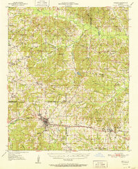
 1986 Arcadia1986 Print · USGSThe hills of North Louisiana are documented here during the mid-eighties, showing the growth of the Bienville Parish seat. Researchers can locate family landmarks like Bridges Mill, the rural settlement of Hurricane, and the winding course of Bayou Saline.
 - 1994 Map of Arcadia, 1995 Print
 1994 Arcadia1995 Print · USGSArcadia and the surrounding piney woods of North Louisiana are shown here in the mid-1990s as the regional hub evolved. Genealogists and historians can locate rural settlements like Hurricane and Frazier or trace family landmarks like Bridges Mill.
 - 2012 Map of Arcadia, 2012 Print
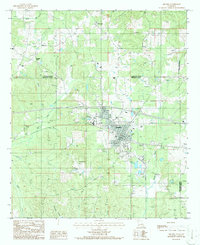
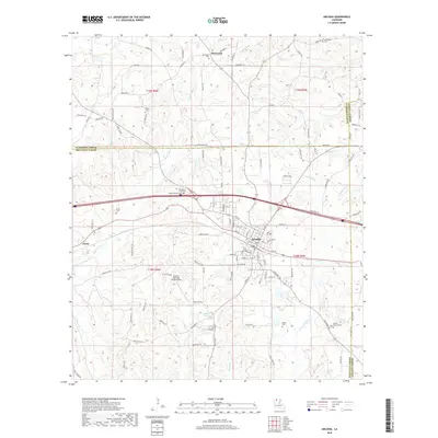
 2012 Arcadia2012 Print · USGSCovers Hurricane, including Arcadia, Bridges Mill, and other nearby areas
 - 2015 Map of Arcadia, 2015 Print
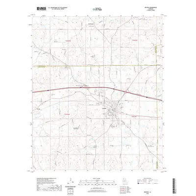
 2015 Arcadia2015 Print · USGSCovers Hurricane, including Arcadia, Bridges Mill, and other nearby areas
 - 2018 Map of Arcadia, 2018 Print
 2018 Arcadia2018 Print · USGSCovers Hurricane, including Arcadia, Bridges Mill, and other nearby areas
 - 2020 Map of Arcadia, 2020 Print
 2020 Arcadia2020 Print · USGSCovers Hurricane, including Arcadia, Bridges Mill, and other nearby areas
 - 2024 Map of Arcadia, 2024 Print
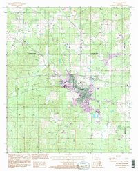
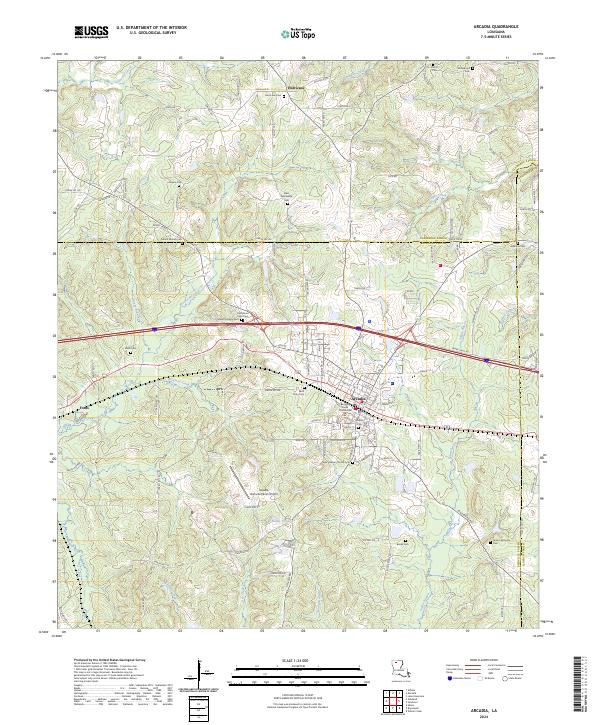 2024 Arcadia2024 Print · USGSNorth Louisiana’s parish seat and rural crossroads are captured in this recent survey of Bienville Parish. Researchers can trace family history at Old Mount Calm Cem, locate the Bienville Parish Courthouse, or map the banks of Saline Bayou.
End of results
Showing maps 1-13 of 13
Top cities near Hurricane
- Grambling historical maps
- Homer historical maps
- Arcadia historical maps
- Gibsland historical maps
- Simsboro historical maps
- Bienville historical maps
See more
Frequently asked questions
- What are the different types of historical maps available for Hurricane?
- What is the oldest map of Hurricane?
- Where can I purchase historical maps of Hurricane for my home or office?
- Where can I download high-res historical maps of Hurricane?
- Are there historical topographic maps available for Hurricane?
- Is there historical aerial imagery available for Hurricane?
- Where are historical maps of Hurricane sourced from?