1900s (20th Century) Maps of East Feliciana Parish, Louisiana
Explore 50 historic maps of East Feliciana Parish from the 1900s (20th Century). These maps offer a rare glimpse into what life looked like during the 1900s — showing old roads, neighborhoods, homes, and landmarks that have changed or disappeared over time.
Whether you're researching your family's past, planning a metal detecting trip, or studying how East Feliciana Parish's landscape evolved across the 1900s, these high-resolution maps are a powerful tool for exploring the history of this region.
- Focus on a specific era: All maps on this page are from the 1900s, giving you a focused view of this time period.
- See what’s changed: Compare century-old streets, trails, and buildings to today's modern landscape using overlays and satellite layers.
- Research with precision: Use these maps for genealogy, historical research, land use analysis, or educational projects.
- View, download, or print: Maps are fully viewable online in high resolution, and can be downloaded or printed for your own records.
Start exploring East Feliciana Parish's history through authentic maps from the 1900s. This is your window into the past.
East Feliciana Parish, LA maps
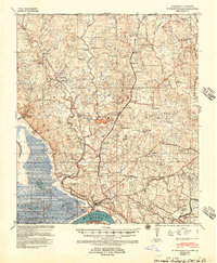
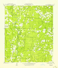
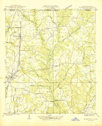
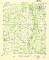
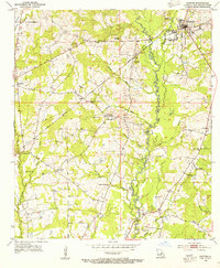
(50)- 1906 Map of Bayou Sara
 1906 Bayou Sara1906 Print · USGSCovers East Feliciana Parish, including Baton Rouge, Central, and other nearby areas3 unique versions available
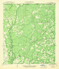
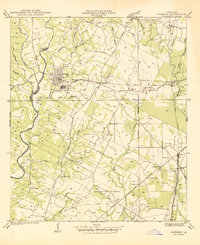
 - 1939 Map of St. Francisville
 1939 St. Francisville1939 Print · USGSCovers East Feliciana Parish, including Saint Francisville, St. Francisville, and other nearby areas3 unique versions available
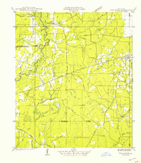
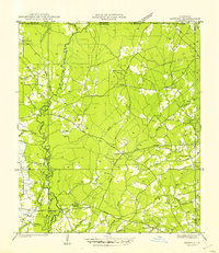
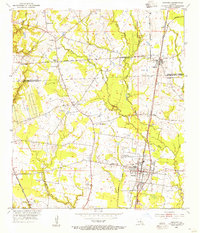
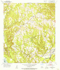
 - 1939 Map of Zachary, 1941 Print
 1939 Zachary1941 Print · USGSCovers East Feliciana Parish, including Baton Rouge, Central, and other nearby areas2 unique versions available
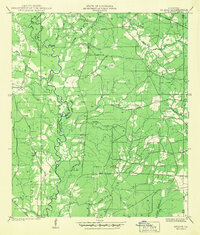
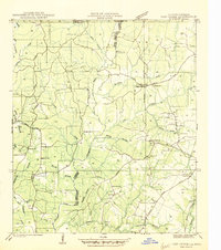
 - 1941 Map of Woodland
 1941 Woodland1941 Print · USGSCovers East Feliciana Parish, including Teddy, Felixville, and other nearby areas
 - 1941 Map of Norwood
 1941 Norwood1941 Print · USGSCovers East Feliciana Parish, including Clinton, Wilson, and other nearby areas
 - 1941 Map of Gilead
 1941 Gilead1941 Print · USGSCovers East Feliciana Parish, including Hatchersville, Gilead, and other nearby areas
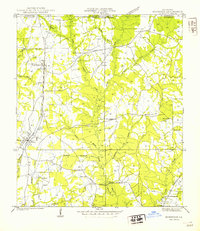
 - 1941 Map of Lost Creek
 1941 Lost Creek1941 Print · USGSCovers East Feliciana Parish, including Wilson, Norwood, and other nearby areas
 - 1941 Map of Chipola
 1941 Chipola1941 Print · USGSCovers East Feliciana Parish, including Darlington, Chipola, and other nearby areas
 - 1942 Map of Pine Grove
 1942 Pine Grove1942 Print · USGSCovers East Feliciana Parish, including Oldfield, Grangeville, and other nearby areas
 - 1942 Map of Pride
 1942 Pride1942 Print · USGSCovers East Feliciana Parish, including Oaknolia, Reiley, and other nearby areas
 - 1942 Map of Gilead
 1942 Gilead1942 Print · USGSCovers East Feliciana Parish, including Hatchersville, Gilead, and other nearby areas
 - 1945 Map of Norwood
 1945 Norwood1945 Print · USGSCovers East Feliciana Parish, including Clinton, Wilson, and other nearby areas
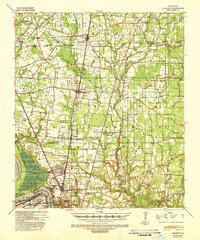
 - 1945 Map of Jackson
 1945 Jackson1945 Print · USGSCovers East Feliciana Parish, including Jackson, Cole, and other nearby areas
 - 1945 Map of Chipola
 1945 Chipola1945 Print · USGSCovers East Feliciana Parish, including Darlington, Chipola, and other nearby areas
 - 1945 Map of Lost Creek
 1945 Lost Creek1945 Print · USGSCovers East Feliciana Parish, including Wilson, Norwood, and other nearby areas
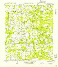
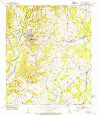
 - 1946 Map of Clinton
 1946 Clinton1946 Print · USGSCovers East Feliciana Parish, including Clinton, Browns, and other nearby areas
 - 1949 Map of Bluff Creek
 1949 Bluff Creek1949 Print · USGSCovers East Feliciana Parish, including Blairstown, United States, and other nearby areas
 - 1954 Map of Pride, 1955 Print
 1954 Pride1955 Print · USGSCovers East Feliciana Parish, including Oaknolia, Reiley, and other nearby areas2 unique versions available
 - 1954 Map of Zachary, 1955 Print
 1954 Zachary1955 Print · USGSCovers East Feliciana Parish, including Zachary, Slaughter, and other nearby areas
 - 1954 Map of Port Hudson, 1955 Print
 1954 Port Hudson1955 Print · USGSCovers East Feliciana Parish, including Waterloo, Riddle, and other nearby areas
 - 1954 Map of Clinton, 1955 Print
 1954 Clinton1955 Print · USGSCovers East Feliciana Parish, including Clinton, Browns, and other nearby areas4 unique versions available
 - 1954 Map of Elm Park, 1955 Print
 1954 Elm Park1955 Print · USGSCovers East Feliciana Parish, including St. Francisville, Freeland, and other nearby areas
 - 1954 Map of Fred, 1955 Print
 1954 Fred1955 Print · USGSCovers East Feliciana Parish, including Central, Zachary, and other nearby areas
 - 1954 Map of Jackson, 1955 Print
 1954 Jackson1955 Print · USGSCovers East Feliciana Parish, including Jackson, Cole, and other nearby areas4 unique versions available
 - 1954 Map of Baton Rouge, 1974 Print
 1954 Baton Rouge1974 Print · USGSCovers East Feliciana Parish, including New Orleans, Baton Rouge, and other nearby areas2 unique versions available
Showing maps 1-25 of 50
Top cities of East Feliciana Parish
- Jackson historical maps
- Clinton historical maps
- Slaughter historical maps
- Wilson historical maps
- Norwood historical maps
Frequently asked questions
- What are the different types of historical maps available for East Feliciana Parish?
- What is the oldest map of East Feliciana Parish?
- Where can I purchase historical maps of East Feliciana Parish for my home or office?
- Where can I download high-res historical maps of East Feliciana Parish?
- Are there historical topographic maps available for East Feliciana Parish?
- Is there historical aerial imagery available for East Feliciana Parish?
- Where are historical maps of East Feliciana Parish sourced from?