2000s (21st Century) Maps of Fairfield, Louisiana
Explore 6 historic maps of Fairfield from the 2000s (21st Century). These maps offer a rare glimpse into what life looked like during the 2000s — showing old roads, neighborhoods, homes, and landmarks that have changed or disappeared over time.
Whether you're researching your family's past, planning a metal detecting trip, or studying how Fairfield's landscape evolved across the 2000s, these high-resolution maps are a powerful tool for exploring the history of this region.
- Focus on a specific era: All maps on this page are from the 2000s, giving you a focused view of this time period.
- See what’s changed: Compare century-old streets, trails, and buildings to today's modern landscape using overlays and satellite layers.
- Research with precision: Use these maps for genealogy, historical research, land use analysis, or educational projects.
- View, download, or print: Maps are fully viewable online in high resolution, and can be downloaded or printed for your own records.
Start exploring Fairfield's history through authentic maps from the 2000s. This is your window into the past.
Fairfield, LA maps
(6)- 2003 Map of Dry Prong, 2005 Print
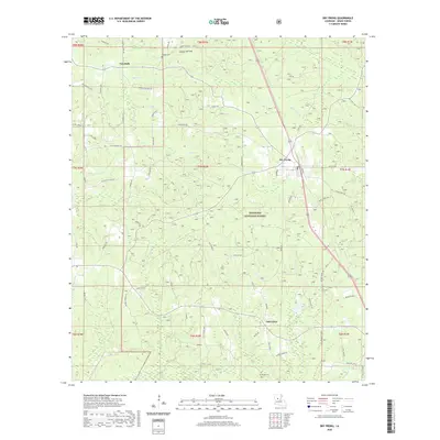
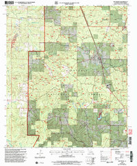 2003 Dry Prong2005 Print · USGSDry Prong and the central Louisiana woodlands are documented here just after the turn of the millennium. Researchers can trace local landmarks like Grant Parish High School, find family sites at Oak Grove, or locate early settlements such as Fairfield and Faircloth.
 - 2012 Map of Dry Prong, 2012 Print
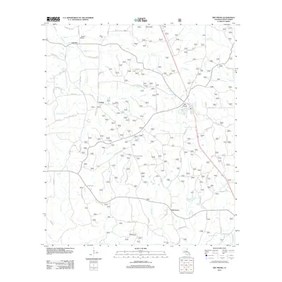 2012 Dry Prong2012 Print · USGSCovers Fairfield, including Dry Prong, Faircloth, and other nearby areas
 - 2015 Map of Dry Prong, 2015 Print
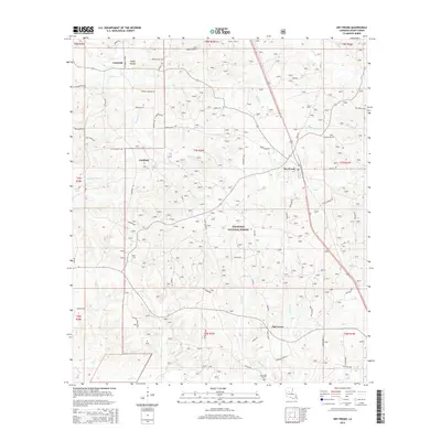 2015 Dry Prong2015 Print · USGSCovers Fairfield, including Dry Prong, Faircloth, and other nearby areas
 - 2018 Map of Dry Prong, 2018 Print
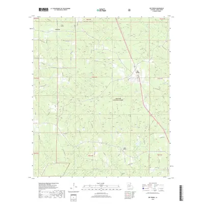 2018 Dry Prong2018 Print · USGSCovers Fairfield, including Dry Prong, Faircloth, and other nearby areas
 - 2020 Map of Dry Prong, 2020 Print
 2020 Dry Prong2020 Print · USGSCovers Fairfield, including Dry Prong, Faircloth, and other nearby areas
 - 2024 Map of Dry Prong, 2024 Print
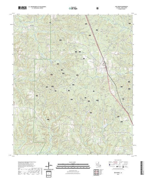 2024 Dry Prong2024 Print · USGSThe piney woods of central Louisiana come into focus here during the early twenty-first century. Genealogists can trace family footprints along Moore Cemetery Rd and locate Midway Cem or the rural community of Faircloth.
End of results
Showing maps 1-6 of 6
Top cities near Fairfield
- Alexandria historical maps
- Pineville historical maps
- Ball historical maps
- Colfax historical maps
- Boyce historical maps
- Dry Prong historical maps
See more
Frequently asked questions
- What are the different types of historical maps available for Fairfield?
- What is the oldest map of Fairfield?
- Where can I purchase historical maps of Fairfield for my home or office?
- Where can I download high-res historical maps of Fairfield?
- Are there historical topographic maps available for Fairfield?
- Is there historical aerial imagery available for Fairfield?
- Where are historical maps of Fairfield sourced from?