2010s Maps of Kenner, Louisiana
Explore 12 historic maps of Kenner from the 2010s. These maps offer a rare glimpse into what life looked like during the 2010s — showing old roads, neighborhoods, homes, and landmarks that have changed or disappeared over time.
Whether you're researching your family's past, planning a metal detecting trip, or studying how Kenner's landscape evolved across the 2010s, these high-resolution maps are a powerful tool for exploring the history of this region.
- Focus on a specific era: All maps on this page are from the 2010s, giving you a focused view of this time period.
- See what’s changed: Compare century-old streets, trails, and buildings to today's modern landscape using overlays and satellite layers.
- Research with precision: Use these maps for genealogy, historical research, land use analysis, or educational projects.
- View, download, or print: Maps are fully viewable online in high resolution, and can be downloaded or printed for your own records.
Start exploring Kenner's history through authentic maps from the 2010s. This is your window into the past.
Kenner, LA maps
(12)- 2012 Map of La Branche, 2012 Print
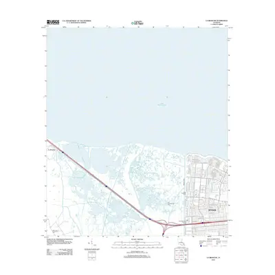 2012 La Branche2012 Print · USGSJefferson Parish at the start of the 2010s shows the precise boundary where the suburban expansion of Kenner meets the coastal marsh. Genealogists and local historians can trace street-level details near Joe Yenni Blvd or locate industrial sites like the East Good Hope Gas Field.
 - 2012 Map of New Orleans West, 2012 Print
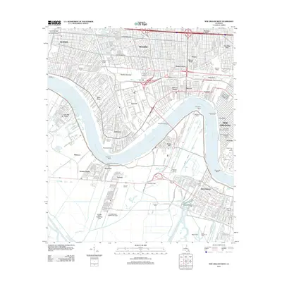 2012 New Orleans West2012 Print · USGSThe western New Orleans suburbs and the industrial Mississippi River corridor appear here in the early twenty-first century. Researchers can locate local landmarks like the Garden of Memories, the Huey P Long Bridge, and the Westwego Oil and Gas Field.
 - 2012 Map of Indian Beach, 2012 Print
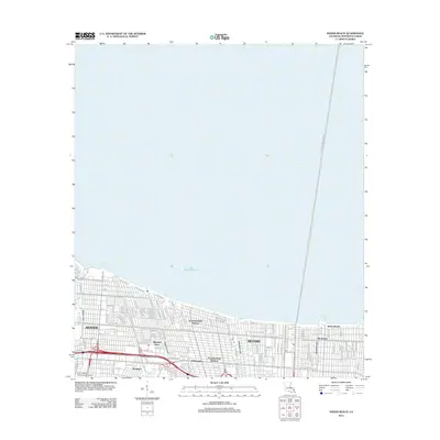 2012 Indian Beach2012 Print · USGSJefferson Parish's lakefront is shown in its modern suburban form during the early 2010s, stretching from the airport to the historic fishing community of Bucktown. Researchers can trace the neighborhood grids of Bissonet Plaza or follow the path of the Bonnabel Canal to the lake shore.
 - 2012 Map of Luling, 2012 Print
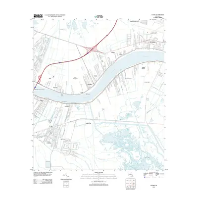 2012 Luling2012 Print · USGSLouisiana's river parishes are shown in detail during the early 21st century, centered on the tight-knit communities along the Mississippi. Genealogists and historians can locate Saint Charles Cemetery, the Davis Plantation site, and the expansive grounds of the Louis Armstrong New Orleans International Airport.
 - 2015 Map of New Orleans West, 2015 Print
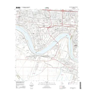 2015 New Orleans West2015 Print · USGSThe Mississippi River's great bends dominate this Jefferson Parish landscape during the mid-2010s, anchoring a complex network of residential suburbs and industrial canals. Researchers can trace neighborhood evolution in Bonnabel Place or locate family sites at Waggaman Cem and Garden of Memories.
 - 2015 Map of Indian Beach, 2015 Print
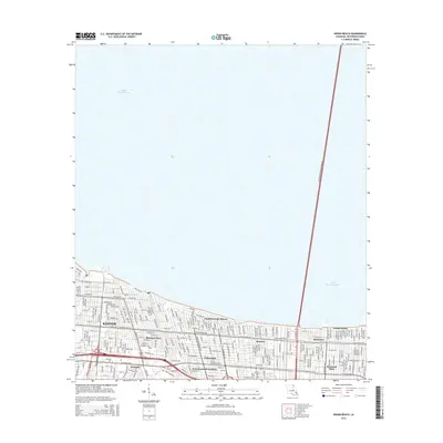 2015 Indian Beach2015 Print · USGSJefferson Parish's densely developed shoreline along the lake is captured here in the mid-2010s. Researchers can trace neighborhood development from Kenner to Metairie, including landmarks like Indian Beach and the Lake Pontchartrain Causeway.
 - 2015 Map of La Branche, 2015 Print
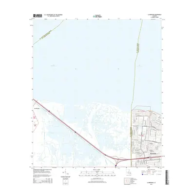 2015 La Branche2015 Print · USGSThe southern shores of Lake Pontchartrain meet the expanding suburbs of the New Orleans metro area in the mid-2010s. Trace the transition from the marshlands of Bayou La Branche to the dense street grids of Kenner along W Esplanade Ave.
 - 2015 Map of Luling, 2015 Print
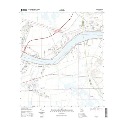 2015 Luling2015 Print · USGSThe Mississippi River corridor near Kenner and Destrehan is captured here in the mid-2010s, showing a landscape defined by both water and major infrastructure. Researchers can trace the layout of the Davis Plantation, locate resting places at Saint Charles Cem, or follow the Illinois Central Railroad through the wetlands.
 - 2018 Map of New Orleans West, 2018 Print
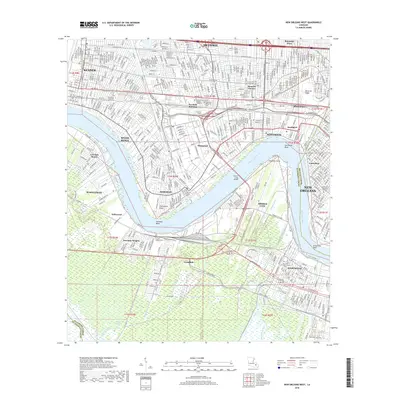 2018 New Orleans West2018 Print · USGSThe industrial and suburban heart of Jefferson Parish is captured here just before the end of the decade, as the metro area continues its modern expansion. Genealogists and local historians can trace legacy sites like the Garden of Memories Cem or the riverfront neighborhoods of Harahan and Bridge City.
 - 2018 Map of Luling, 2018 Print
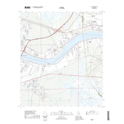 2018 Luling2018 Print · USGSThe industrial and riverfront corridor of the Mississippi River comes alive in this 2010s study of the communities between Kenner and Luling. Researchers can trace the layout of St. Rose and Destrehan, locating local landmarks like the Jefferson Memorial Gardens Cem and Louis Armstrong New Orleans International Airport.
 - 2018 Map of La Branche, 2018 Print
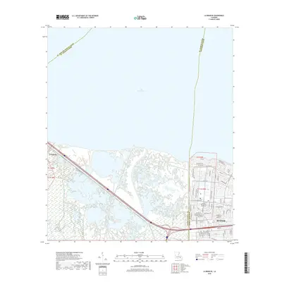 2018 La Branche2018 Print · USGSThe Jefferson Parish shoreline and the wetlands of La Branche appear in detail during the late twenty-teens. Researchers can trace the suburban expansion of Kenner along W Esplanade Ave or follow the path of Bayou Piquant through the marshes.
 - 2018 Map of Indian Beach, 2018 Print
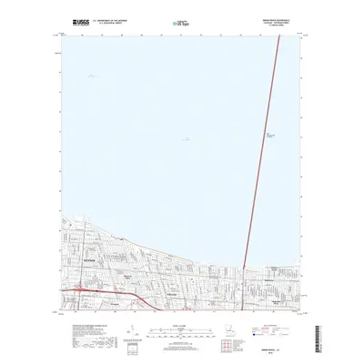 2018 Indian Beach2018 Print · USGSThe Jefferson Parish shoreline meets the water in the late 2010s, showing the dense residential growth and critical infrastructure of the New Orleans metro area. Genealogists and locals can trace neighborhood blocks in Kenner or locate landmarks like Bucktown and the Lake Pontchartrain Causeway.
End of results
Showing maps 1-12 of 12
Top cities near Kenner
- New Orleans historical maps
- Metairie historical maps
- Algiers historical maps
- Gretna historical maps
- Waggaman historical maps
- Westwego historical maps
See more
Top neighborhoods of Kenner
Frequently asked questions
- What are the different types of historical maps available for Kenner?
- What is the oldest map of Kenner?
- Where can I purchase historical maps of Kenner for my home or office?
- Where can I download high-res historical maps of Kenner?
- Are there historical topographic maps available for Kenner?
- Is there historical aerial imagery available for Kenner?
- Where are historical maps of Kenner sourced from?