2020s Maps of Raceland, Louisiana
Explore 8 historic maps of Raceland from the 2020s. These maps offer a rare glimpse into what life looked like during the 2020s — showing old roads, neighborhoods, homes, and landmarks that have changed or disappeared over time.
Whether you're researching your family's past, planning a metal detecting trip, or studying how Raceland's landscape evolved across the 2020s, these high-resolution maps are a powerful tool for exploring the history of this region.
- Focus on a specific era: All maps on this page are from the 2020s, giving you a focused view of this time period.
- See what’s changed: Compare century-old streets, trails, and buildings to today's modern landscape using overlays and satellite layers.
- Research with precision: Use these maps for genealogy, historical research, land use analysis, or educational projects.
- View, download, or print: Maps are fully viewable online in high resolution, and can be downloaded or printed for your own records.
Start exploring Raceland's history through authentic maps from the 2020s. This is your window into the past.
Raceland, LA maps
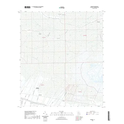
(8)- 2020 Map of Bayou Boeuf, 2020 Print
 2020 Bayou Boeuf2020 Print · USGSCovers Raceland, including Bayou Boeuf, Lafourche Parish, and other nearby areas
 - 2020 Map of Kraemer, 2020 Print
 2020 Kraemer2020 Print · USGSCovers Raceland, including Kraemer, Rousseau, and other nearby areas
 - 2020 Map of Savoie, 2020 Print
 2020 Savoie2020 Print · USGSCovers Raceland, including Savoie, Terrebonne Parish, and other nearby areas
 - 2021 Map of Lockport, 2021 Print
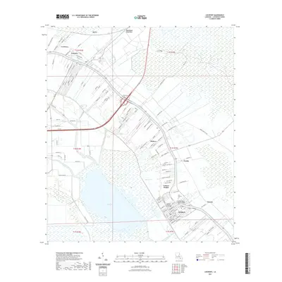 2021 Lockport2021 Print · USGSCovers Raceland, including Lockport, Rita, and other nearby areas
 - 2024 Map of Bayou Boeuf, 2024 Print
 2024 Bayou Boeuf2024 Print · USGSIn the modern Louisiana wetlands, the border of Lafourche and St. Charles Parishes is defined by an intricate network of waterways. Researchers can trace the layout of Des Allemands and follow the paths of the Bowie Canal, Godchaux Canal, and Midway Canal.
 - 2024 Map of Lockport, 2024 Print
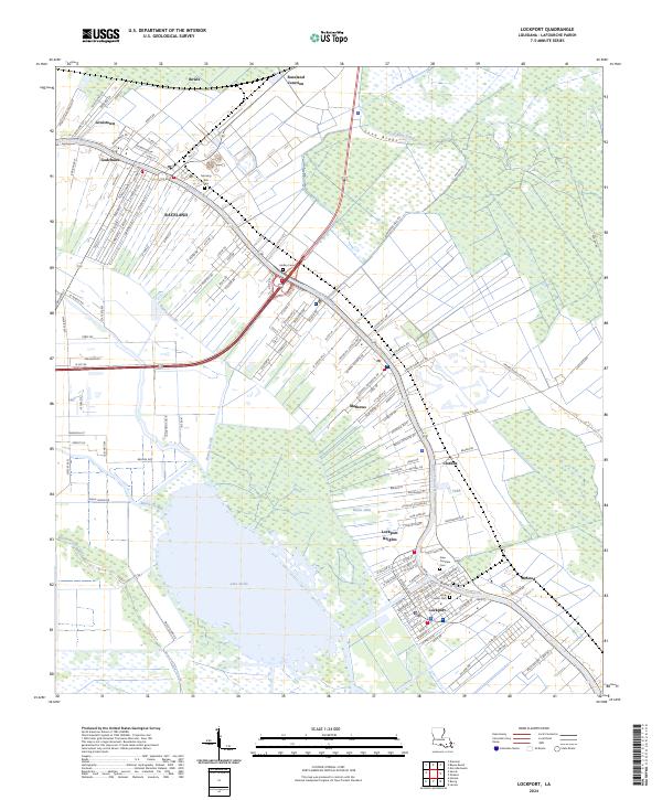 2024 Lockport2024 Print · USGSIn the modern era of Lafourche Parish, the ribbon settlements along the water reveal centuries of French long-lot land patterns. Genealogists and historians can trace family locations near Lockport and Raceland, or locate burial sites like Holy Savior Cem and Hadley Cem.
 - 2024 Map of Savoie, 2024 Print
 2024 Savoie2024 Print · USGSThe wetlands of southern Louisiana meet the expanding communities of Raceland and Broadmoor in this recent survey. Local researchers can trace family landmarks at Saint Louis Catholic Cem and follow the path of Bayou Blue.
 - 2024 Map of Kraemer, 2024 Print
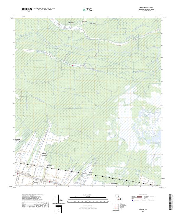 2024 Kraemer2024 Print · USGSLafourche Parish is captured in the early 2020s, showing a landscape defined by expansive wetlands and historic plantation tracts. Researchers can trace the drainage networks of Rathborne Swamp and locate community landmarks like Melodia Plantation and Theriot Field.
End of results
Showing maps 1-8 of 8
Top cities near Raceland
Top neighborhoods of Raceland
Frequently asked questions
- What are the different types of historical maps available for Raceland?
- What is the oldest map of Raceland?
- Where can I purchase historical maps of Raceland for my home or office?
- Where can I download high-res historical maps of Raceland?
- Are there historical topographic maps available for Raceland?
- Is there historical aerial imagery available for Raceland?
- Where are historical maps of Raceland sourced from?