2000s (21st Century) Maps of Orleans Parish, Louisiana
Explore 65 historic maps of Orleans Parish from the 2000s (21st Century). These maps offer a rare glimpse into what life looked like during the 2000s — showing old roads, neighborhoods, homes, and landmarks that have changed or disappeared over time.
Whether you're researching your family's past, planning a metal detecting trip, or studying how Orleans Parish's landscape evolved across the 2000s, these high-resolution maps are a powerful tool for exploring the history of this region.
- Focus on a specific era: All maps on this page are from the 2000s, giving you a focused view of this time period.
- See what’s changed: Compare century-old streets, trails, and buildings to today's modern landscape using overlays and satellite layers.
- Research with precision: Use these maps for genealogy, historical research, land use analysis, or educational projects.
- View, download, or print: Maps are fully viewable online in high resolution, and can be downloaded or printed for your own records.
Start exploring Orleans Parish's history through authentic maps from the 2000s. This is your window into the past.
Orleans Parish, LA maps
(65)- 2012 Map of Alligator Point, 2012 Print
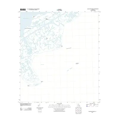 2012 Alligator Point2012 Print · USGSThe Orleans Parish coastline and its industrial gas fields come into sharp focus in this early twenty-first-century survey of the Louisiana wetlands. Researchers can trace the layout of energy infrastructure like the Lake St Catherine Gas Field and name coastal features such as Alligator Point and Truloix Point.
 - 2012 Map of South Point, 2012 Print
 2012 South Point2012 Print · USGSCoastal Orleans Parish is captured here in the early twenty-first century, showing the critical water and energy infrastructure of the Gulf Coast. Researchers can trace the shoreline between South Point and Point du Chien or locate the offshore Big Point Gas Field.
 - 2012 Map of Chef Menteur, 2012 Print
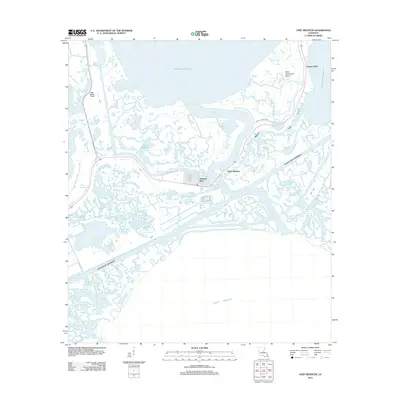 2012 Chef Menteur2012 Print · USGSCoastal Louisiana in the early twenty-first century reveals a landscape defined by the intersection of major shipping channels and master-planned waterfront living. Trace the development of Venetian Isles and follow the vital Intracoastal Waterway as it cuts past Chef Menteur Pass.
 - 2012 Map of Little Woods, 2012 Print
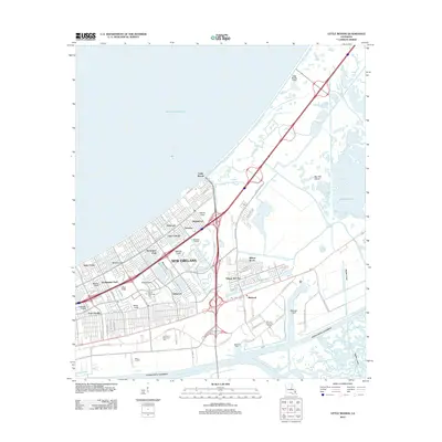 2012 Little Woods2012 Print · USGSEastern New Orleans in the early 2010s shows a complex network of industrial canals and residential enclaves. Trace the heavy infrastructure of the Michoud Assembly Facility alongside neighborhoods like Village de L'Est and Little Woods.
 - 2012 Map of Rigolets, 2012 Print
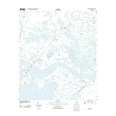 2012 Rigolets2012 Print · USGSCoastal marshes and historic fortifications dominate this New Orleans passage at the start of the 2010s. Modern researchers can locate the McKean Cem on Apple Pie Ridge or trace the strategic position of Pike Fort guarding the deep-water channels.
 - 2012 Map of North Shore, 2012 Print
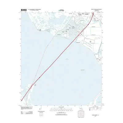 2012 North Shore2012 Print · USGSThe northern shores of Lake Pontchartrain are captured here in the early twenty-first century as suburban growth reached the marshes of St. Tammany Parish. Genealogists and local historians can trace the development of Eden Isle, locate Fields Cem, and map the coastal reaches of Irish Bayou.
 - 2012 Map of Spanish Fort, 2012 Print
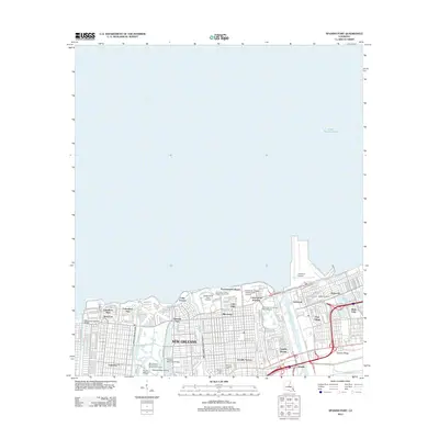 2012 Spanish Fort2012 Print · USGSThe Lake Pontchartrain shoreline in the early twenty-first century reveals a New Orleans landscape of intricate canals and residential expansion. Trace the historical footprints of Milneburg and Spanish Fort or locate family plots at Hebrew Rest Cem.
 - 2012 Map of New Orleans West, 2012 Print
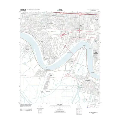 2012 New Orleans West2012 Print · USGSThe western New Orleans suburbs and the industrial Mississippi River corridor appear here in the early twenty-first century. Researchers can locate local landmarks like the Garden of Memories, the Huey P Long Bridge, and the Westwego Oil and Gas Field.
 - 2012 Map of New Orleans East, 2012 Print
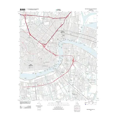 2012 New Orleans East2012 Print · USGSNew Orleans and the West Bank waterfront are shown in high detail during the early twenty-first century. Researchers can trace historic burial grounds like Metairie Cemetery or explore the river's industrial reach through the Stuyvesant Docks and Gretna Ferry Landing.
 - 2012 Map of Spanish Fort NE, 2012 Print
 2012 Spanish Fort NE2012 Print · USGSLake Pontchartrain and its massive highway infrastructure are the focus of this maritime-heavy survey from the early 2010s. Researchers can trace the engineering footprint of the Lake Pontchartrain Causeway as it spans the open waters of Lake Pontchartrain.
 - 2012 Map of Chalmette, 2012 Print
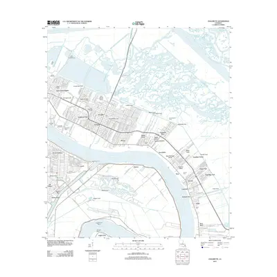 2012 Chalmette2012 Print · USGSSt. Bernard Parish in the early 2010s shows a landscape of deep historical memory and modern water management. Genealogists and historians can trace the grounds of the Chalmette Battlefield, locate family plots at Merritt Cemetery, or study the footprint of Jackson Barracks.
 - 2012 Map of Martello Castle, 2012 Print
 2012 Martello Castle2012 Print · USGSThe coastal wetlands of St. Bernard Parish appear in fine detail during the early 2010s, showing a landscape defined by the Mississippi River-Gulf Outlet Canal. Researchers can trace the winding paths of Bayou Bienvenue and Bayou Dupre near the site of Martello Castle.
 - 2012 Map of Belle Chasse, 2012 Print
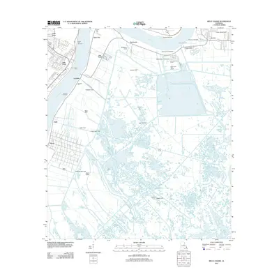 2012 Belle Chasse2012 Print · USGSThe Mississippi River loop at Twelvemile Point dominates this 2012 survey of the Plaquemines Parish wetlands. Researchers can locate family landmarks like English Turn Cem, the industrial site at Port Nickel, and the path of the Belle Chasse Ferry.
 - 2015 Map of South Point, 2015 Print
 2015 South Point2015 Print · USGSLake Pontchartrain and its surrounding wetlands are documented here in the mid-2010s, capturing the coastal geography of the New Orleans region. Researchers can trace the shoreline near South Point and the courses of Cane Bayou and Bayou Castiglione.
 - 2015 Map of North Shore, 2015 Print
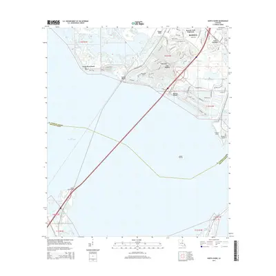 2015 North Shore2015 Print · USGSThe northern coast of Lake Pontchartrain comes into focus during this mid-2010s survey of the Slidell waterfront. Genealogists and local historians can trace residential growth at Eden Isle and Spanish Trail Highlands or locate the historic Fields Cem.
 - 2015 Map of Spanish Fort NE, 2015 Print
 2015 Spanish Fort NE2015 Print · USGSLake Pontchartrain and its surrounding parish boundaries are captured in this mid-2010s survey of the waters north of New Orleans. Historians can trace the intersection of St. Tammany Parish, Jefferson Parish, and Orleans Parish and locate the Lake Pontchartrain Causeway.
 - 2015 Map of Rigolets, 2015 Print
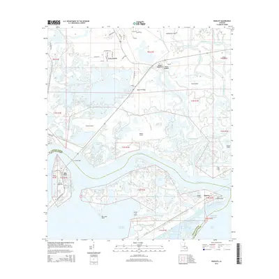 2015 Rigolets2015 Print · USGSThe Louisiana coast at the entrance to Lake Pontchartrain is a maze of tidal passes and marsh islands. Researchers can trace the strategic layout of Pike Fort, locate McKean Cem on Apple Pie Ridge, and explore the waterways of Honey Island and The Rigolets.
 - 2015 Map of Chef Menteur, 2015 Print
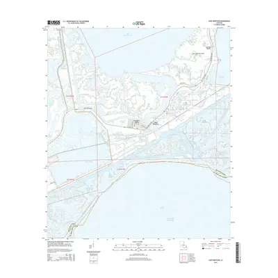 2015 Chef Menteur2015 Print · USGSThe coastal wetlands of Orleans Parish are seen here in the mid-2010s, a landscape defined by the intersection of the Intracoastal Waterway and the Gulf. Genealogists and historians can trace the development of Venetian Isles and the transit corridors of Chef Menteur Blvd and the historic Old Spanish Trl.
 - 2015 Map of Little Woods, 2015 Print
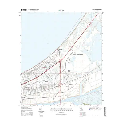 2015 Little Woods2015 Print · USGSNew Orleans East is shown here in the mid-2010s, where suburban neighborhoods are carved into the low-lying wetlands of Orleans Parish. Researchers can trace the drainage networks surrounding Little Woods and Michoud, or explore the vast protected areas of Bayou Sauvage and Big Oak Island.
 - 2015 Map of Alligator Point, 2015 Print
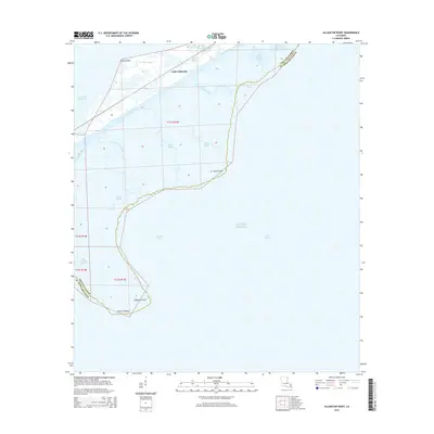 2015 Alligator Point2015 Print · USGSCoastal Louisiana near the Orleans and St. Bernard Parish line appears as a maze of tidal marsh and open water in the mid-2010s. Maritime researchers and locals can trace the Intracoastal Waterway and locate landmarks like Shell Point and Alligator Point.
 - 2015 Map of New Orleans East, 2015 Print
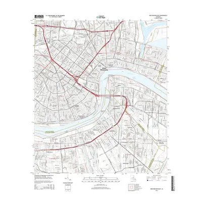 2015 New Orleans East2015 Print · USGSNew Orleans and its West Bank neighborhoods are captured here during the mid-2010s, showing the city's historic core and industrial waterways. Researchers can trace family roots through numerous cemeteries like Metairie Cem or locate specific landmarks in Algiers Point and the Garden District.
 - 2015 Map of New Orleans West, 2015 Print
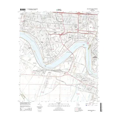 2015 New Orleans West2015 Print · USGSThe Mississippi River's great bends dominate this Jefferson Parish landscape during the mid-2010s, anchoring a complex network of residential suburbs and industrial canals. Researchers can trace neighborhood evolution in Bonnabel Place or locate family sites at Waggaman Cem and Garden of Memories.
 - 2015 Map of Spanish Fort, 2015 Print
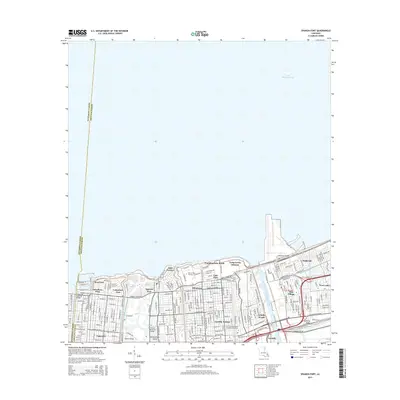 2015 Spanish Fort2015 Print · USGSThe northern lakefront of New Orleans is captured in the mid-2010s, showing the intersection of historic neighborhoods and massive drainage projects. Genealogists and historians can trace the streets of Milneburg and West End or locate landmarks like the Ahavas Sholem Cem.
 - 2015 Map of Chalmette, 2015 Print
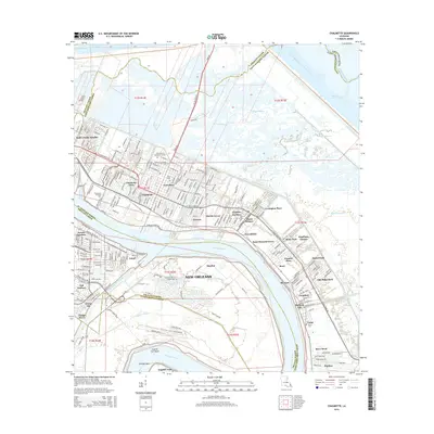 2015 Chalmette2015 Print · USGSSoutheast of New Orleans in the mid-2010s, this area shows the dense settlement and maritime infrastructure along the Mississippi. Genealogists can locate burials at Chalmette National Cemetery and Ellen Cem, or trace neighborhoods like Versailles and Meraux.
 - 2015 Map of Belle Chasse, 2015 Print
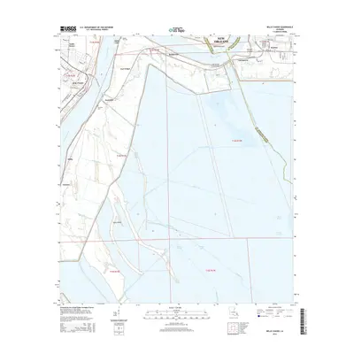 2015 Belle Chasse2015 Print · USGSCoastal Louisiana in the mid-2010s shows a landscape defined by the river and an expansive network of canals. Trace local history through the English Turn Cem, the industrial site at Port Nickel, and the historical breach sites at Poydras Crevasse and Caernarvon Crevasse.
Showing maps 1-25 of 65
Top cities of Orleans Parish
Frequently asked questions
- What are the different types of historical maps available for Orleans Parish?
- What is the oldest map of Orleans Parish?
- Where can I purchase historical maps of Orleans Parish for my home or office?
- Where can I download high-res historical maps of Orleans Parish?
- Are there historical topographic maps available for Orleans Parish?
- Is there historical aerial imagery available for Orleans Parish?
- Where are historical maps of Orleans Parish sourced from?