2020s Maps of Ouachita Parish, Louisiana
Explore 34 historic maps of Ouachita Parish from the 2020s. These maps offer a rare glimpse into what life looked like during the 2020s — showing old roads, neighborhoods, homes, and landmarks that have changed or disappeared over time.
Whether you're researching your family's past, planning a metal detecting trip, or studying how Ouachita Parish's landscape evolved across the 2020s, these high-resolution maps are a powerful tool for exploring the history of this region.
- Focus on a specific era: All maps on this page are from the 2020s, giving you a focused view of this time period.
- See what’s changed: Compare century-old streets, trails, and buildings to today's modern landscape using overlays and satellite layers.
- Research with precision: Use these maps for genealogy, historical research, land use analysis, or educational projects.
- View, download, or print: Maps are fully viewable online in high resolution, and can be downloaded or printed for your own records.
Start exploring Ouachita Parish's history through authentic maps from the 2020s. This is your window into the past.
Ouachita Parish, LA maps
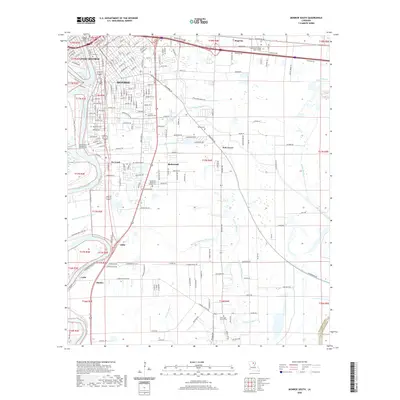
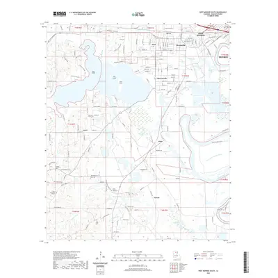
(34)- 2020 Map of West Monroe North, 2020 Print
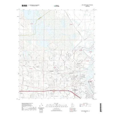 2020 West Monroe North2020 Print · USGSCovers Ouachita Parish, including Monroe, West Monroe, and other nearby areas
 - 2020 Map of Downsville South, 2020 Print
 2020 Downsville South2020 Print · USGSCovers Ouachita Parish, including Choudrant, Tremont, and other nearby areas
 - 2020 Map of Crew Lake, 2020 Print
 2020 Crew Lake2020 Print · USGSCovers Ouachita Parish, including Monroe, Rhymes, and other nearby areas
 - 2020 Map of Chatham, 2020 Print
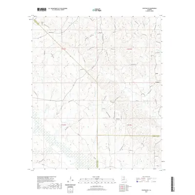
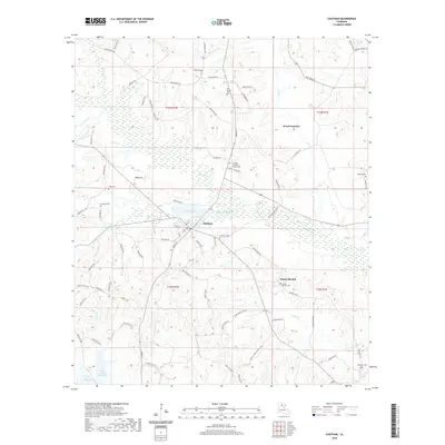 2020 Chatham2020 Print · USGSCovers Ouachita Parish, including Chatham, Wood Junction, and other nearby areas
 - 2020 Map of Cadeville, 2020 Print
 2020 Cadeville2020 Print · USGSCovers Ouachita Parish, including Mount Pleasant, Cadeville, and other nearby areas
 - 2020 Map of Rocky Branch, 2020 Print
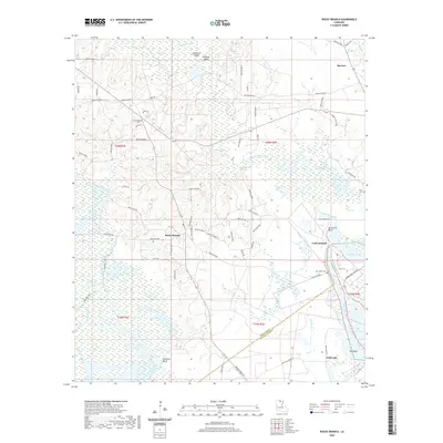 2020 Rocky Branch2020 Print · USGSCovers Ouachita Parish, including Meeks Landing, Crossroads, and other nearby areas
 - 2020 Map of Swartz, 2020 Print
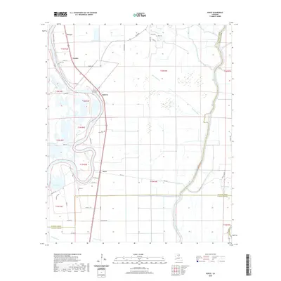
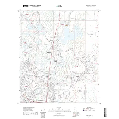
 2020 Swartz2020 Print · USGSCovers Ouachita Parish, including Monroe, Swartz, and other nearby areas
 - 2020 Map of Collinston West, 2020 Print
 2020 Collinston West2020 Print · USGSCovers Ouachita Parish, including Bastrop, Collinston, and other nearby areas
 - 2020 Map of Chatham SE, 2020 Print
 2020 Chatham SE2020 Print · USGSCovers Ouachita Parish, including Anabel, Tama, and other nearby areas
 - 2020 Map of Monroe South, 2020 Print
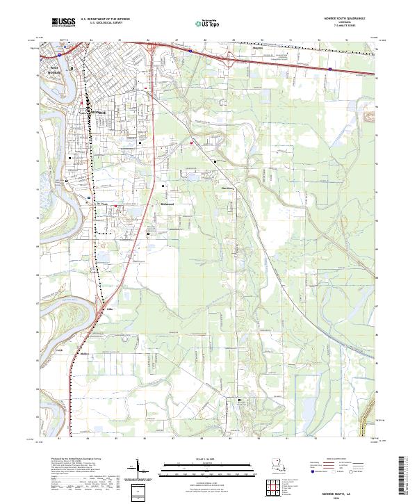
 2020 Monroe South2020 Print · USGSCovers Ouachita Parish, including Monroe, West Monroe, and other nearby areas
 - 2020 Map of Luna, 2020 Print
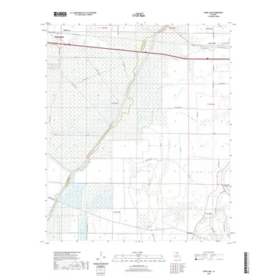
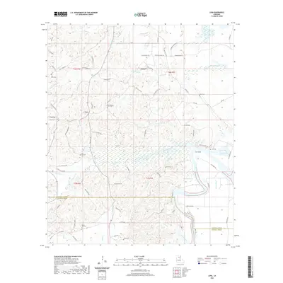 2020 Luna2020 Print · USGSCovers Ouachita Parish, including Cypress, Luna, and other nearby areas
 - 2020 Map of Bosco, 2020 Print
 2020 Bosco2020 Print · USGSCovers Ouachita Parish, including Fondale, Cuba, and other nearby areas
 - 2020 Map of Calhoun, 2020 Print
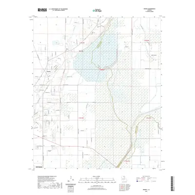
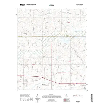 2020 Calhoun2020 Print · USGSCovers Ouachita Parish, including Eureka, Wilhite, and other nearby areas
 - 2020 Map of Monroe North, 2020 Print
 2020 Monroe North2020 Print · USGSCovers Ouachita Parish, including Monroe, West Monroe, and other nearby areas
 - 2020 Map of Eros, 2020 Print
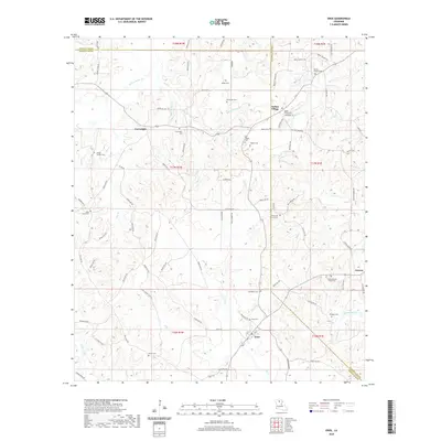 2020 Eros2020 Print · USGSCovers Ouachita Parish, including Eros, Guyton, and other nearby areas
 - 2020 Map of Sterlington, 2020 Print
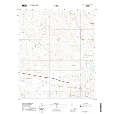
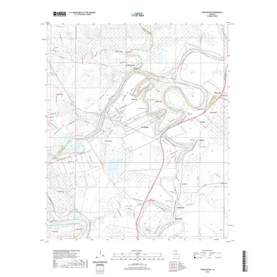 2020 Sterlington2020 Print · USGSCovers Ouachita Parish, including Sterlington, West Sterlington, and other nearby areas
 - 2020 Map of West Monroe South, 2020 Print
 2020 West Monroe South2020 Print · USGSCovers Ouachita Parish, including Monroe, West Monroe, and other nearby areas
 - 2024 Map of Swartz, 2024 Print
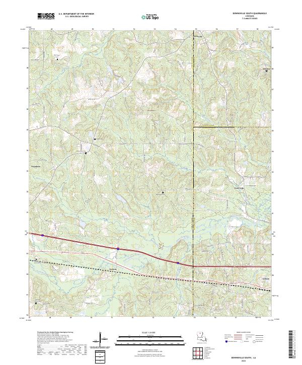
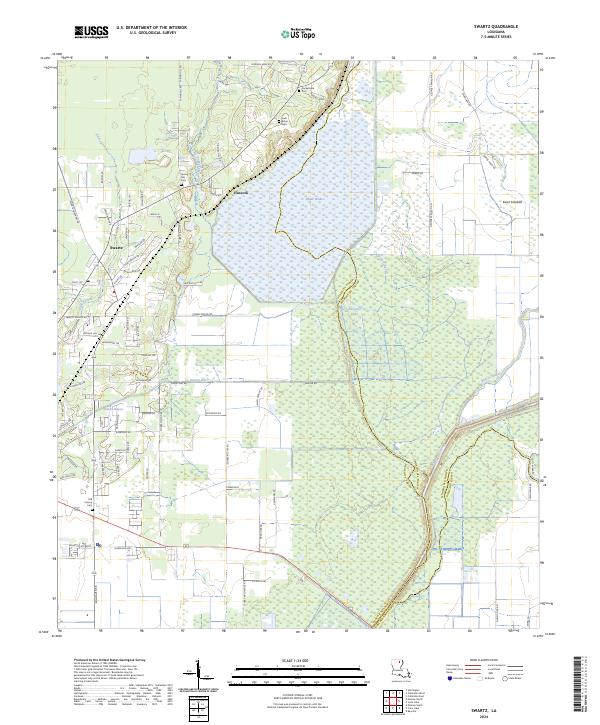 2024 Swartz2024 Print · USGSNortheast of Monroe in the 2020s, this area shows a landscape defined by Bayou Lafourche and the expansive Wham Brake. Researchers can locate family landmarks like Spring Hill Cem, Loch Arbor Cem, and the old settlement of Hancock.
 - 2024 Map of Monroe South, 2024 Print
 2024 Monroe South2024 Print · USGSOuachita Parish at the start of the twenty-twenties shows a landscape shaped by the Ouachita River and its many bayous. Genealogists can trace family sites from Richwood Memorial Gardens Cem to the J S Clark Memorial Cem.
 - 2024 Map of Crew Lake, 2024 Print
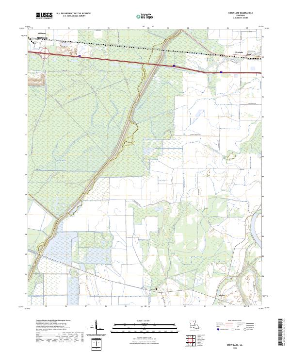 2024 Crew Lake2024 Print · USGSRichland Parish and its surrounding bayous come into focus in this contemporary study of the Louisiana Delta. Genealogists and local historians can trace family-named roads and landmarks from Start down to Rhymes, including Hall Cem and the banks of Bayou Lafourche.
 - 2024 Map of Downsville South, 2024 Print
 2024 Downsville South2024 Print · USGSLincoln and Ouachita Parishes come together in this 2024 look at the North Louisiana interior. Local researchers can trace family landmarks and rural cemeteries like Sibley Cem and Macedonia Cem near the settlements of Tremont and Frost Town.
 - 2024 Map of West Monroe South, 2024 Print
 2024 West Monroe South2024 Print · USGSOuachita Parish south of West Monroe is mapped here in the early twenty-first century, showing the transition from suburban neighborhoods to the river bottoms. Researchers can trace numerous local burial sites including Saint Luke Church Cem and Berry Cem alongside landmarks like Myatt Ferry.
 - 2024 Map of Collinston West, 2024 Print
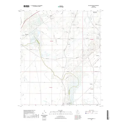
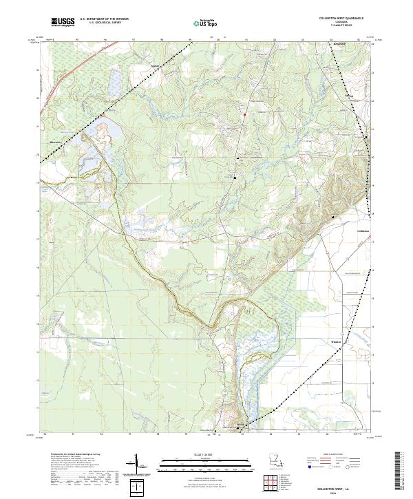 2024 Collinston West2024 Print · USGSIn the contemporary landscape of Morehouse Parish, the complex wetlands of Wham Brake define the border with Ouachita Parish. Genealogists can trace local roots through numerous family landmarks including the Pickett Family Cem, Carter Cem, and the settlement at Spyker.
 - 2024 Map of Chatham, 2024 Print
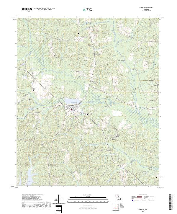 2024 Chatham2024 Print · USGSThe community of Chatham and its surrounding Jackson Parish wetlands are captured in the 2020s. Local researchers can trace family roots at Old Bethel Cem or Mount Moriah Cem, and locate landmarks near Chatham Lake and Wood Junction.
 - 2024 Map of West Monroe North, 2024 Print
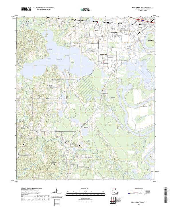
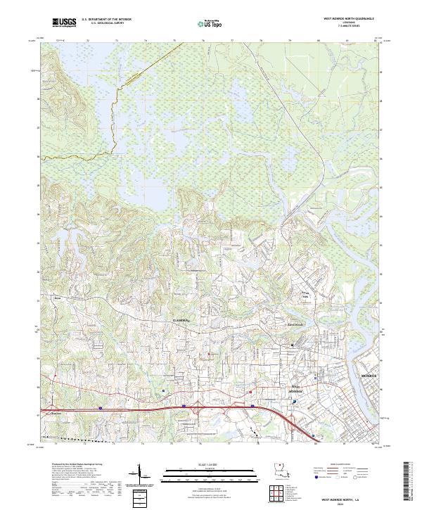 2024 West Monroe North2024 Print · USGSWest Monroe and its western suburbs are captured in high detail during a period of significant residential expansion along the Ouachita River. Genealogists and local historians can pinpoint the Hasley Cem or trace the early paths of Cheniere and Drew near the D'Arbonne National Wildlife Refuge.
Showing maps 1-25 of 34
Top cities of Ouachita Parish
- Monroe historical maps
- West Monroe historical maps
- Claiborne historical maps
- Swartz historical maps
- Richwood historical maps
- Sterlington historical maps
Frequently asked questions
- What are the different types of historical maps available for Ouachita Parish?
- What is the oldest map of Ouachita Parish?
- Where can I purchase historical maps of Ouachita Parish for my home or office?
- Where can I download high-res historical maps of Ouachita Parish?
- Are there historical topographic maps available for Ouachita Parish?
- Is there historical aerial imagery available for Ouachita Parish?
- Where are historical maps of Ouachita Parish sourced from?