2010s Maps of Ouachita Parish, Louisiana
Explore 51 historic maps of Ouachita Parish from the 2010s. These maps offer a rare glimpse into what life looked like during the 2010s — showing old roads, neighborhoods, homes, and landmarks that have changed or disappeared over time.
Whether you're researching your family's past, planning a metal detecting trip, or studying how Ouachita Parish's landscape evolved across the 2010s, these high-resolution maps are a powerful tool for exploring the history of this region.
- Focus on a specific era: All maps on this page are from the 2010s, giving you a focused view of this time period.
- See what’s changed: Compare century-old streets, trails, and buildings to today's modern landscape using overlays and satellite layers.
- Research with precision: Use these maps for genealogy, historical research, land use analysis, or educational projects.
- View, download, or print: Maps are fully viewable online in high resolution, and can be downloaded or printed for your own records.
Start exploring Ouachita Parish's history through authentic maps from the 2010s. This is your window into the past.
Ouachita Parish, LA maps
(51)- 2012 Map of Calhoun, 2012 Print
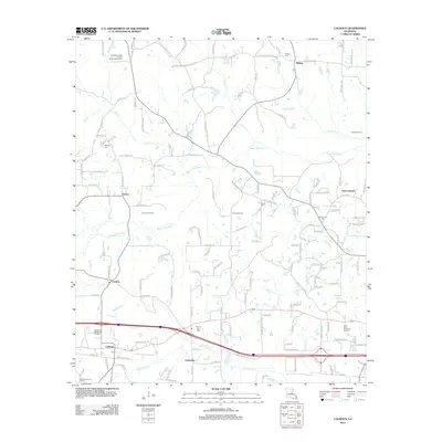 2012 Calhoun2012 Print · USGSSettled along the Bayou Choudrant at the turn of the twenty-first century, this area of Ouachita Parish reflects a mix of traditional rural life and modern development. Researchers can find numerous family and community landmarks, from Mount Zion Cem to the local Post Office in Calhoun.
 - 2012 Map of Chatham SE, 2012 Print
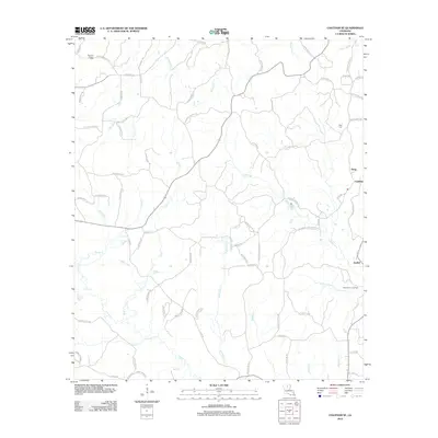 2012 Chatham SE2012 Print · USGSIn the decade before 2012, this pocket of rural Louisiana maintained a dense network of family-named roads and winding bayous. Genealogists can locate family landmarks like Head Cem or trace the industrial footprint of the North Vixen Gas Field near Anabel.
 - 2012 Map of Cadeville, 2012 Print
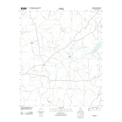 2012 Cadeville2012 Print · USGSOuachita Parish at the start of the 2010s reveals a landscape of interconnected rural communities and energy infrastructure. Trace the relationship between industry and settlement near Cheniere Gas Field or locate family sites at Parker Cem and Cadeville.
 - 2012 Map of Luna, 2012 Print
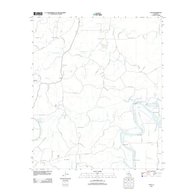 2012 Luna2012 Print · USGSThis part of Ouachita Parish along the river is shown in detail during the early 2010s. Researchers can trace local genealogy and the river economy through numerous riverfront sites like Waco Landing and family cemeteries such as Furlow Cem and Faust Cem.
 - 2012 Map of Bosco, 2012 Print
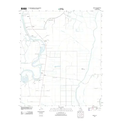 2012 Bosco2012 Print · USGSOuachita Parish as it appeared in 2012 shows a landscape of river landings and energy production. Genealogists and historians can trace the riverside settlements of Bosco, Cuba, and Logtown while locating family landmarks like Faulks Cem and Riser Cem.
 - 2012 Map of Eros, 2012 Print
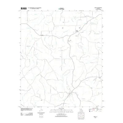 2012 Eros2012 Print · USGSThe rural landscape of Jackson Parish is well preserved in this early 2010s survey, detailing a network of small settlements and family landmarks. Genealogists and historians can trace lineage through Butler Cem, Eros Cem, and the community of Indian Village.
 - 2012 Map of Chatham, 2012 Print
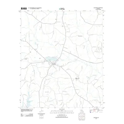 2012 Chatham2012 Print · USGSLouisiana's Jackson Parish landscape is captured here in the early twenty-first century, centered on the lakeside town of Chatham. Genealogists and local historians can trace rural burial grounds like Salem Cem and Mount Moriah Cem or locate the Chatham Gas Field.
 - 2012 Map of Swartz, 2012 Print
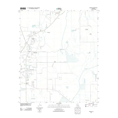 2012 Swartz2012 Print · USGSOuachita Parish shows its suburban growth and wetland geography in this early twenty-first-century survey of the Monroe area. Trace local family roots at Spring Hill Cem or explore the drainage patterns of Puckett Slough and the vast Swan Lakebed.
 - 2012 Map of Collinston West, 2012 Print
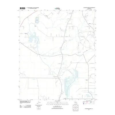 2012 Collinston West2012 Print · USGSMorehouse Parish in the early 2000s remains a landscape of small settlements and winding bayous. Genealogists and local historians can trace family locations near Pickett Cemetery or follow the routes connecting Spyker, Dewdrop Crossing, and Wham.
 - 2012 Map of Crew Lake, 2012 Print
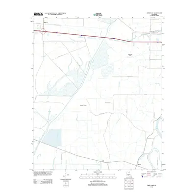 2012 Crew Lake2012 Print · USGSThe alluvial plains near Monroe were still defined by their winding bayous and gas production in the early twenty-first century. Researchers can trace the boundaries of the Millhaven Gas Field or locate the Hall Cem and the settlement at Rhymes.
 - 2012 Map of Downsville South, 2012 Print
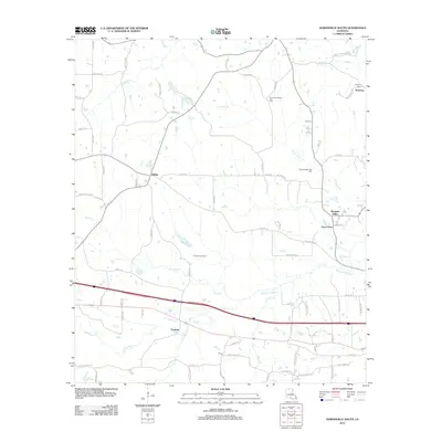 2012 Downsville South2012 Print · USGSLincoln Parish in the early 2010s shows a landscape defined by traditional rural communities and active energy production. Local historians can trace the development of Tremont, Sibley, and Frost Town alongside the Tremont Gas Field.
 - 2012 Map of Monroe North, 2012 Print
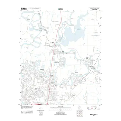 2012 Monroe North2012 Print · USGSNorthern Monroe and the winding Bayou De Siard are captured here in the early twenty-first century, showcasing the area's intricate water network. Researchers can locate the Pargoud Indian Mound, the University of Louisiana Monroe, and quiet local landmarks like Saint Mathew Cem.
 - 2012 Map of Sterlington, 2012 Print
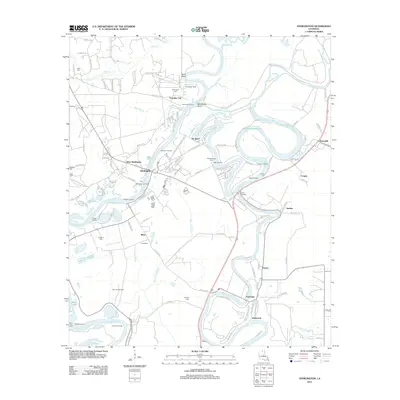 2012 Sterlington2012 Print · USGSSterlington and the surrounding Ouachita Parish riverfront are shown here during the early twenty-first century. Genealogists can trace family connections through river landings like Youngs Landing or local burial sites such as Glendora Cem and Phillips Cem.
 - 2012 Map of Monroe South, 2012 Print
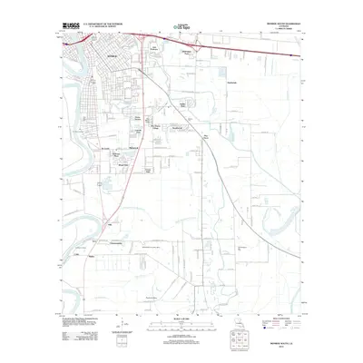 2012 Monroe South2012 Print · USGSMonroe and its southern suburbs are captured here in the early twenty-first century as the city extends toward the bayou lowlands. Researchers can locate family landmarks like New City Cem and Ballard Cem or trace the development of Richwood and Pino Bayou Village.
 - 2012 Map of West Monroe North, 2012 Print
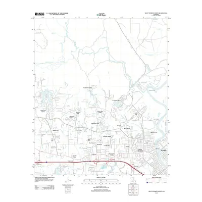 2012 West Monroe North2012 Print · USGSSuburban development meets the winding bayous of Ouachita Parish during the early twenty-first century. Genealogists can locate Hasley Cem or trace neighborhood growth from West Monroe to Sherwood Forest and D'Arbonne Hills.
 - 2012 Map of West Monroe South, 2012 Print
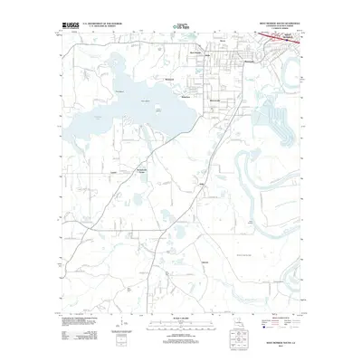 2012 West Monroe South2012 Print · USGSThe suburbs south of West Monroe are captured here in the early 2010s, revealing a landscape defined by the Ouachita River and its intricate bayous. Researchers can trace local history through the Cheniere Creek Gas Field, Bawcomville, and several family cemeteries like Old Sardis.
 - 2012 Map of Rocky Branch, 2012 Print
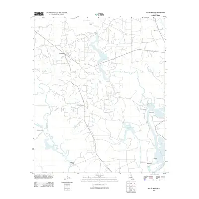 2012 Rocky Branch2012 Print · USGSThe northern Louisiana bottomlands near the Ouachita River are documented here in the early twenty-first century. Genealogists and local historians can trace family locations near Crossroads Cem, Bakers Landing, and the settlement at Rocky Branch.
 - 2015 Map of West Monroe South, 2015 Print
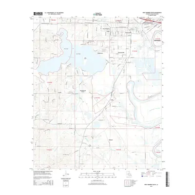 2015 West Monroe South2015 Print · USGSOuachita Parish south of West Monroe is a landscape of winding bayous and river bends in the early twenty-first century. Genealogists and local historians can locate several family burial sites including Old Sardis Cem and Berry Cem among the settlements of Bawcomville and Ridgecrest.
 - 2015 Map of Calhoun, 2015 Print
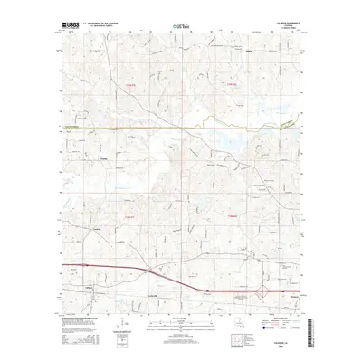 2015 Calhoun2015 Print · USGSOuachita and Union Parishes are shown in the mid-2010s, capturing the rural corridor between Calhoun and Wilhite. Genealogists can trace family connections through numerous landmarks like Mount Zion Cem, Butler Cem, and Carlton.
 - 2015 Map of Luna, 2015 Print
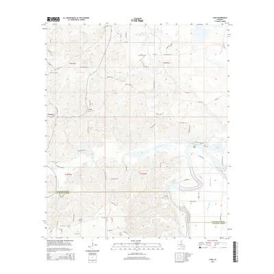 2015 Luna2015 Print · USGSIn the mid-2010s, the Ouachita Parish lowlands remained a world of winding bayous and rural family homesteads. Researchers can locate several local landmarks including Pine Grove Cem, Lake Lafitta, and the river bend at Coco Bend.
 - 2015 Map of Chatham SE, 2015 Print
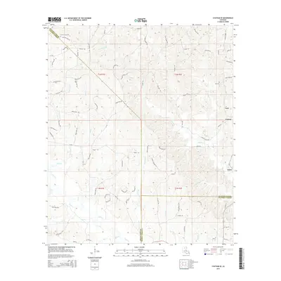 2015 Chatham SE2015 Print · USGSThe rural borderlands of Ouachita, Jackson, and Caldwell Parishes are shown in the mid-2010s, where small timber-country settlements still anchor the landscape. Genealogists can trace family footprints through sites like Phantom Chapel Cem and named thoroughfares such as Jack Crowell Rd.
 - 2015 Map of Collinston West, 2015 Print
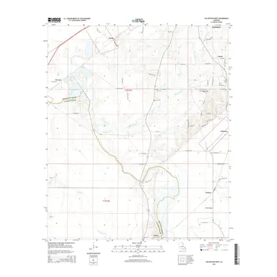 2015 Collinston West2015 Print · USGSMorehouse and Ouachita Parishes are captured here in the mid-2010s, showing a landscape defined by Bayou country and scattered rural settlements. Researchers can trace local heritage through sites like Pickett Cem, the community of Spyker, and the winding Staulkinghead Cr.
 - 2015 Map of Cadeville, 2015 Print
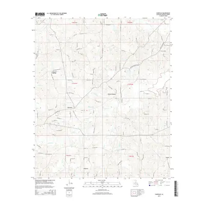 2015 Cadeville2015 Print · USGSOuachita Parish in the early twenty-first century remains a landscape of tightly knit rural settlements and winding bayous. Local researchers can trace family lineage through names on the land like Parker Cem, Bogaloosa Spring, and the community of Cadeville.
 - 2015 Map of Monroe South, 2015 Print
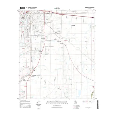 2015 Monroe South2015 Print · USGSMonroe and West Monroe anchor this mid-2010s survey of the Ouachita River corridor during a period of sustained suburban expansion. Genealogists and local historians can trace the growth of communities like Richwood, Kings Oaks, and Pino Bayou Village or locate New City Cem.
 - 2015 Map of Sterlington, 2015 Print
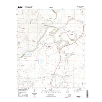 2015 Sterlington2015 Print · USGSNear the confluence of the Ouachita River and Bayou Bartholomew in the mid-2010s, this area shows a landscape defined by its waterways. Researchers can locate numerous family and community burial grounds, such as Spencer Cem, Burton Cem, and Pioneer Cemetery.
Showing maps 1-25 of 51
Top cities of Ouachita Parish
- Monroe historical maps
- West Monroe historical maps
- Claiborne historical maps
- Swartz historical maps
- Richwood historical maps
- Sterlington historical maps
Frequently asked questions
- What are the different types of historical maps available for Ouachita Parish?
- What is the oldest map of Ouachita Parish?
- Where can I purchase historical maps of Ouachita Parish for my home or office?
- Where can I download high-res historical maps of Ouachita Parish?
- Are there historical topographic maps available for Ouachita Parish?
- Is there historical aerial imagery available for Ouachita Parish?
- Where are historical maps of Ouachita Parish sourced from?