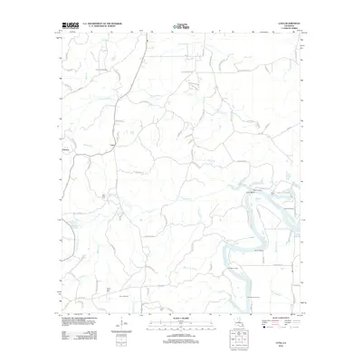
2012 Map of Luna
USGS Topo · Published 2012About this map
The winding Ouachita River defines the eastern boundary of this Ouachita Parish landscape, where a network of landings such as Roach Landing and Hannah Landing once connected the river-bound economy to the interior settlements of Cypress and Luna. The terrain is deeply carved by a complex system of drainage, including Cypress Cr and the extensive Prairion Bayou, while the Luna Lookout Tower stands as a prominent landmark for the forested uplands.
Find a feature on this map
98 named features on this map. Tap any name to fly to it.
Don’t see what you’re looking for? This feature index may not catch every label — zoom into the map to look around manually.
Map Details
Editions of this 2012 Luna Map
This is the sole edition of this map. No revisions or reprints were ever made.
Other maps of this area

1940 · Monroe
USGS Topo · 1:62,500

1940 · Columbia
USGS Topo · 1:62,500

1953 · Chatham
USGS Topo · 1:62,500

1954 · Sikes
USGS Topo · 1:62,500

1955 · Shreveport
USGS Topo · 1:250,000

1956 · Shreveport
USGS Topo · 1:250,000

1957 · Columbia
USGS Topo · 1:62,500

1957 · West Monroe South
USGS Topo · 1:24,000

1957 · Monroe South
USGS Topo · 1:24,000

1957 · Monroe South
USGS Topo · 1:62,500