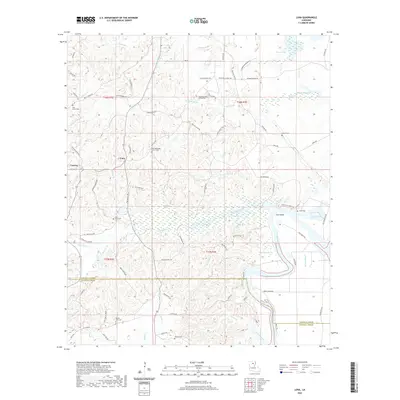
2020 Map of Luna
USGS Topo · Published 2020About this map
The Ouachita River winds through the eastern portion of this Louisiana landscape, creating complex water features like Coco Bend and Lake Lafitta. The terrain is defined by an intricate network of wetlands and seasonal water bodies, including Watson Brake, Prairion Brake, and Alligator Brake. These low-lying areas are fed by numerous small streams such as Cypress Creek, Prairion Bayou, and Belle Cove Bayou, illustrating the characteristic hydrography of the region just north of the Caldwell Parish line.
Find a feature on this map
89 named features on this map. Tap any name to fly to it.
Don’t see what you’re looking for? This feature index may not catch every label — zoom into the map to look around manually.
Map Details
Editions of this 2020 Luna Map
This is the sole edition of this map. No revisions or reprints were ever made.
Other maps of this area

1940 · Monroe
USGS Topo · 1:62,500

1940 · Columbia
USGS Topo · 1:62,500

1953 · Chatham
USGS Topo · 1:62,500

1954 · Sikes
USGS Topo · 1:62,500

1955 · Shreveport
USGS Topo · 1:250,000

1956 · Shreveport
USGS Topo · 1:250,000

1957 · Columbia
USGS Topo · 1:62,500

1957 · West Monroe South
USGS Topo · 1:24,000

1957 · Monroe South
USGS Topo · 1:24,000

1957 · Monroe South
USGS Topo · 1:62,500