2020s Maps of Red River Parish, Louisiana
Explore 24 historic maps of Red River Parish from the 2020s. These maps offer a rare glimpse into what life looked like during the 2020s — showing old roads, neighborhoods, homes, and landmarks that have changed or disappeared over time.
Whether you're researching your family's past, planning a metal detecting trip, or studying how Red River Parish's landscape evolved across the 2020s, these high-resolution maps are a powerful tool for exploring the history of this region.
- Focus on a specific era: All maps on this page are from the 2020s, giving you a focused view of this time period.
- See what’s changed: Compare century-old streets, trails, and buildings to today's modern landscape using overlays and satellite layers.
- Research with precision: Use these maps for genealogy, historical research, land use analysis, or educational projects.
- View, download, or print: Maps are fully viewable online in high resolution, and can be downloaded or printed for your own records.
Start exploring Red River Parish's history through authentic maps from the 2020s. This is your window into the past.
Red River Parish, LA maps
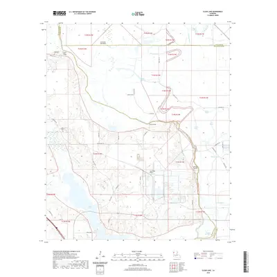
(24)- 2020 Map of Hanna, 2020 Print
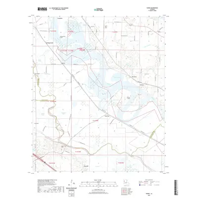 2020 Hanna2020 Print · USGSCovers Red River Parish, including King Hill, Lake End, and other nearby areas
 - 2020 Map of Campti, 2020 Print
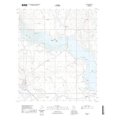 2020 Campti2020 Print · USGSCovers Red River Parish, including Campti, Creston, and other nearby areas
 - 2020 Map of Fairview Alpha, 2020 Print
 2020 Fairview Alpha2020 Print · USGSCovers Red River Parish, including Campti, Powhatan, and other nearby areas
 - 2020 Map of Evelyn, 2020 Print
 2020 Evelyn2020 Print · USGSCovers Red River Parish, including Rambin, Ajax, and other nearby areas
 - 2020 Map of East Point, 2020 Print
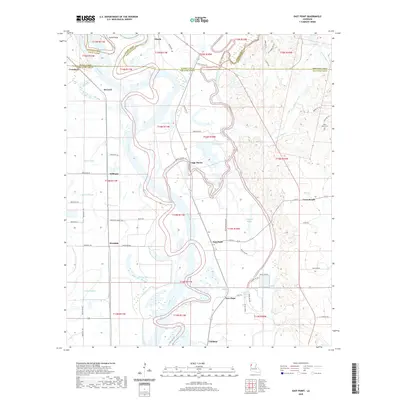 2020 East Point2020 Print · USGSCovers Red River Parish, including Loggy Bayou, Williams, and other nearby areas
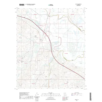
 - 2020 Map of Roy, 2020 Print
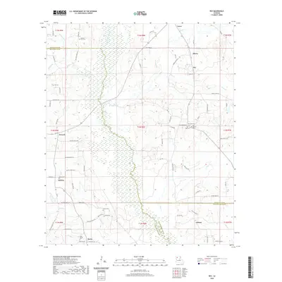 2020 Roy2020 Print · USGSCovers Red River Parish, including Martin, Ashland, and other nearby areas
 - 2020 Map of Hall Summit, 2020 Print
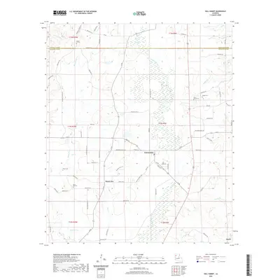 2020 Hall Summit2020 Print · USGSCovers Red River Parish, including Martin, Hall Summit, and other nearby areas
 - 2020 Map of Bayou Pierre Lake, 2020 Print
 2020 Bayou Pierre Lake2020 Print · USGSCovers Red River Parish, including Carmel, Goss, and other nearby areas
 - 2020 Map of Martin, 2020 Print
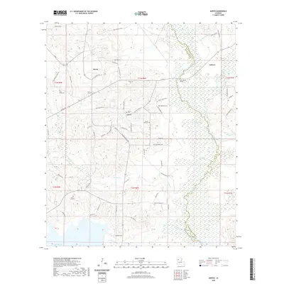 2020 Martin2020 Print · USGSCovers Red River Parish, including Martin, Ashland, and other nearby areas
 - 2020 Map of Coushatta, 2020 Print
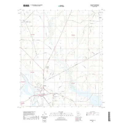 2020 Coushatta2020 Print · USGSCovers Red River Parish, including Coushatta, Martin, and other nearby areas
 - 2020 Map of Clear Lake, 2020 Print
 2020 Clear Lake2020 Print · USGSCovers Red River Parish, including Caddo Parish, DeSoto Parish, and other nearby areas
 - 2020 Map of Harmon, 2020 Print
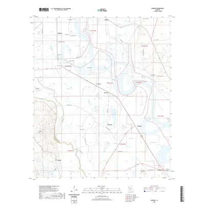 2020 Harmon2020 Print · USGSCovers Red River Parish, including Carroll, Oxbow, and other nearby areas
 - 2024 Map of Evelyn, 2024 Print
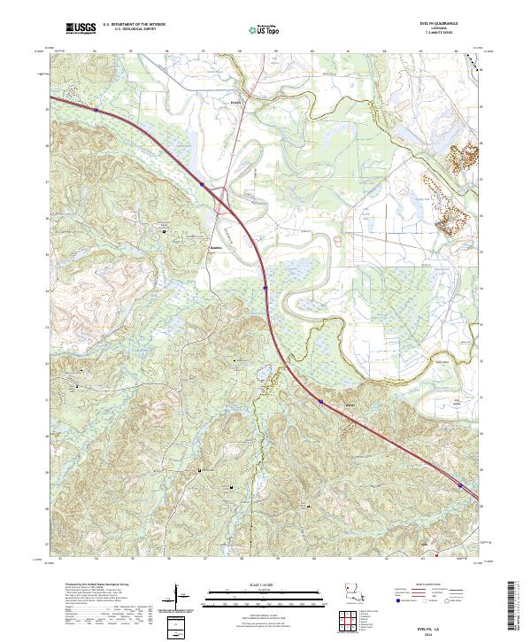 2024 Evelyn2024 Print · USGSSettlements and family cemeteries are scattered across the parish lines of De Soto and Natchitoches in this 2024 survey. Trace local heritage at Summer Hill Baptist Church Cem or find old landmarks like Dolette Hills and Evelyn.
 - 2024 Map of Hanna, 2024 Print
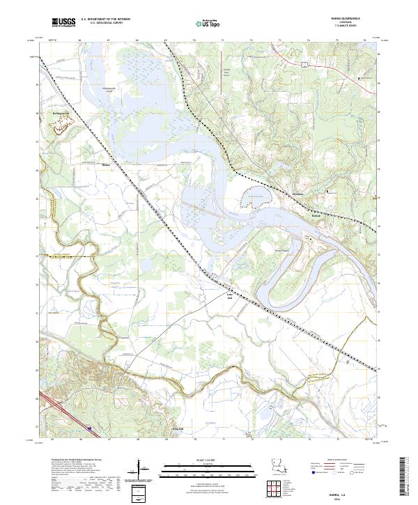 2024 Hanna2024 Print · USGSThe Red River bottomlands of North Louisiana are documented here at the crossroads of three parishes. Genealogists and local historians can locate early burial sites like Union Hall Cem and trace the development of settlements at Hanna, Redoak, and Lake End.
 - 2024 Map of Hall Summit, 2024 Print
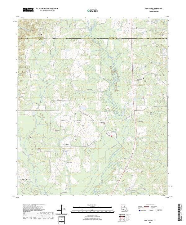 2024 Hall Summit2024 Print · USGSHall Summit and the surrounding parish borderlands are shown here in the 2020s, revealing a landscape of rural roads and bayous. Genealogists can trace family burial sites like Social Springs Cem and Mount Zion Cem near Grand Bayou.
 - 2024 Map of Harmon, 2024 Print
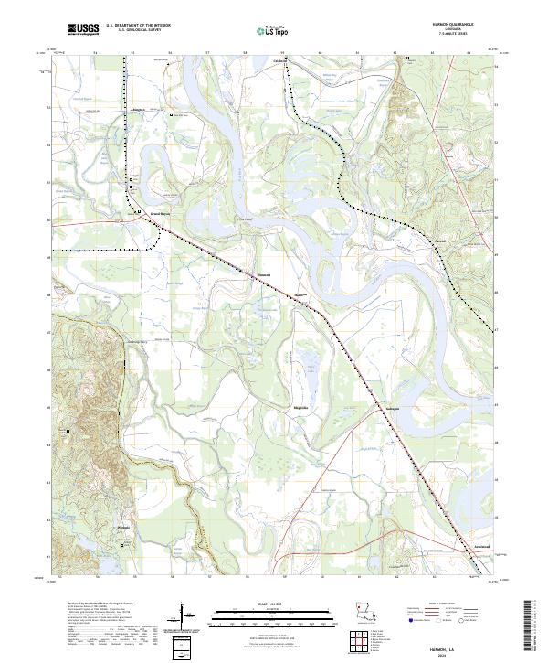 2024 Harmon2024 Print · USGSRed River and De Soto Parishes come alive in this map of the Louisiana riverlands, showing the fertile basin and its complex waterways. Researchers can trace family history through Morrison Cem and Wilson Cem or locate old crossings like Greenings Ferry.
 - 2024 Map of Roy, 2024 Print
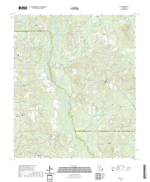 2024 Roy2024 Print · USGSAcross these parish lines in the 2020s, the landscape remains defined by its many small settlements and family burial grounds. Researchers can trace the communities of Alberta, Roy, and Ashland alongside historic sites like Cabiness Family Cem and Newman Cem.
 - 2024 Map of Clear Lake, 2024 Print
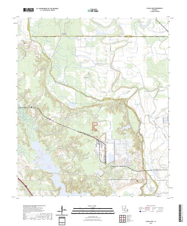 2024 Clear Lake2024 Print · USGSDe Soto Parish and its neighboring river lands are shown in this modern study of the Bayou Pierre floodplain. Researchers can locate Old Gravel Point Cem, New Friendship Cem, and the boundaries of the Red River National Wildlife Refuge.
 - 2024 Map of Campti, 2024 Print
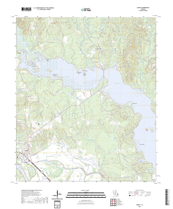 2024 Campti2024 Print · USGSExplore the Natchitoches Parish lake country in the modern era, where the waters of Black Lake meet the Red River valley. Researchers can trace local landmarks like Campti Ferry, Nativity Cem, and the island-dotted expanse of Cloud Crossing.
 - 2024 Map of Fairview Alpha, 2024 Print
 2024 Fairview Alpha2024 Print · USGSThe Red River valley at the Natchitoches and Red River parish line shows a landscape of bayous and river bends in the early twenty-first century. Genealogists can locate family landmarks like Bethany Cem and Zion Cem or settlements such as Powhatan and Grappes Bluff.
 - 2024 Map of East Point, 2024 Print
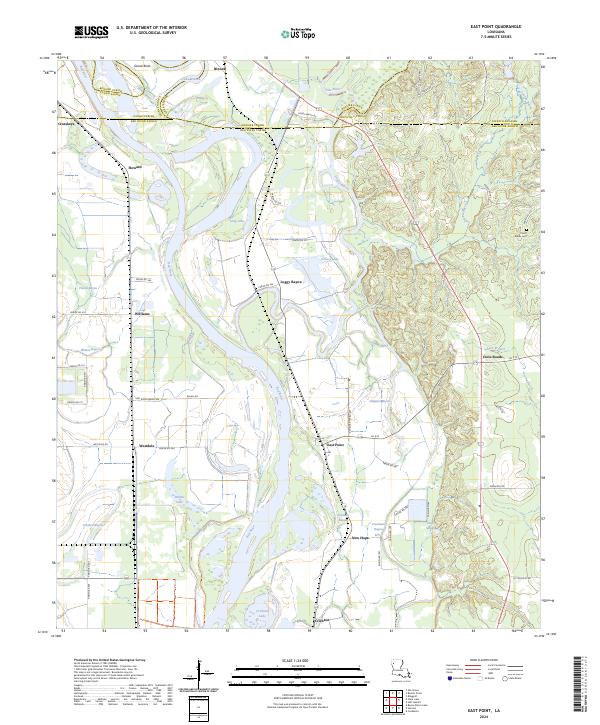 2024 East Point2024 Print · USGSThe Red River valley south of Shreveport comes into focus here in the early twenty-first century, showing a landscape shaped by shifting water and parish lines. Genealogists and researchers can locate the Saint Marks Cem and old river communities like East Point and Westdale.
 - 2024 Map of Coushatta, 2024 Print
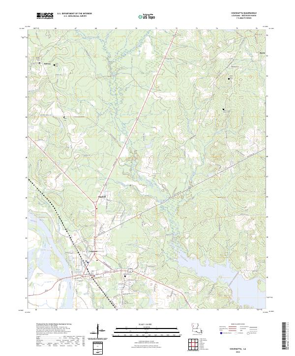 2024 Coushatta2024 Print · USGSThe Red River Parish seat comes into focus in the 2020s, showing the riverside development of Coushatta and its outlying parishes. Genealogists can trace local roots through numerous family and church burial sites like Springville Cem, New Star Cem, and Saint Mary's Cem.
 - 2024 Map of Bayou Pierre Lake, 2024 Print
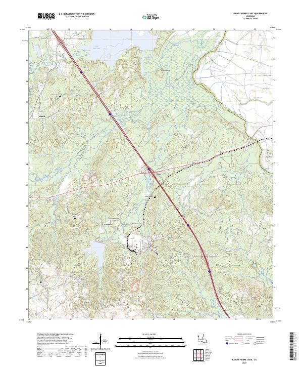 2024 Bayou Pierre Lake2024 Print · USGSDe Soto Parish and the wetlands of the Red River valley are documented here in recent years. Genealogists can trace family sites at Rock Chapel Cem and Carmel Cem or locate the old community centers of Naborton and Goss.
 - 2024 Map of Martin, 2024 Print
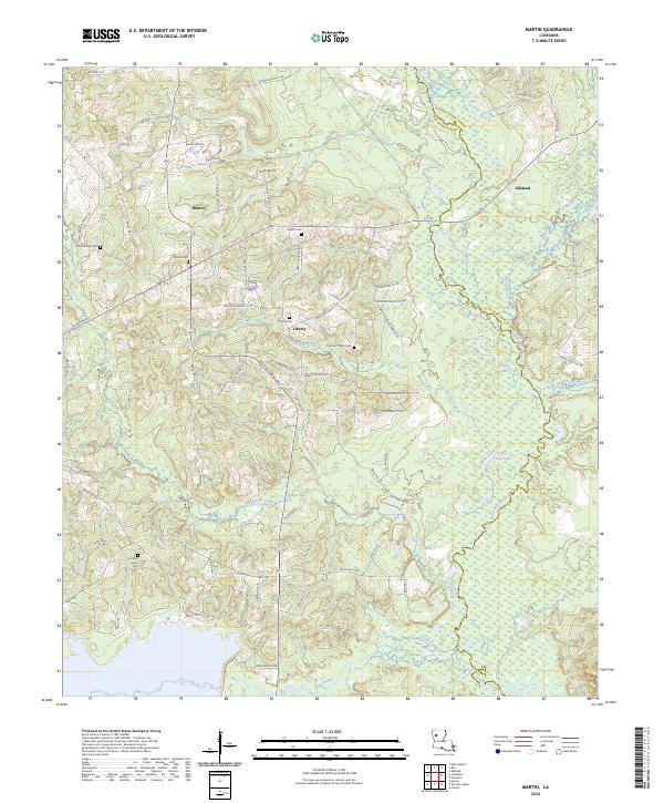 2024 Martin2024 Print · USGSThe crossroads of Red River Parish are captured here in the early twenty-first century, showing a landscape of timber and bayous. Researchers can trace family history through several burial sites like Hickory Grove Cem and Clear Springs Cem near the town of Martin.
End of results
Showing maps 1-24 of 24
Top cities of Red River Parish
Frequently asked questions
- What are the different types of historical maps available for Red River Parish?
- What is the oldest map of Red River Parish?
- Where can I purchase historical maps of Red River Parish for my home or office?
- Where can I download high-res historical maps of Red River Parish?
- Are there historical topographic maps available for Red River Parish?
- Is there historical aerial imagery available for Red River Parish?
- Where are historical maps of Red River Parish sourced from?