Old Maps of Alliance, Louisiana for Hiking & Exploration
Hike through history with 13 historic maps of Alliance. Explore old trails, ghost towns, and forgotten backroads — perfect for outdoor adventurers and local explorers.
- Rediscover forgotten places: Map out old mining camps, roads, and footpaths that no longer exist on modern maps.
- Layer with modern tools: Combine with LiDAR or satellite views to plan hikes through historical terrain.
- Made for exploration: Popular among hikers, overlanders, and local history lovers.
Use these maps to find adventure and explore the hidden past of Alliance.
Alliance, LA maps
(13)- 1941 Map of Zwolle
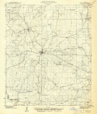 1941 Zwolle1941 Print · USGSSabine Parish in the early 1940s is captured here as a landscape of timber-driven rail lines and riverside crossings. Genealogists can trace the rural communities of the era through sites like Pattersons Ferry, Alliance Sch, and Sardis Cem.
 - 1944 Map of Zwolle
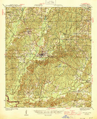 1944 Zwolle1944 Print · USGSSabine Parish and the borderlands of Louisiana and Texas are captured here during the wartime economy. Family historians can locate rural landmarks like Noble Cem, Alliance Sch, and small community centers at Belmont and Vines.2 unique versions available
 - 1953 Map of Alexandria, 1963 Print
 1953 Alexandria1963 Print · USGSCentral Louisiana during the early fifties is mapped here at the intersection of the piney woods and the Red River valley. Genealogists and historians can trace the rail-and-river network connecting towns like Alexandria, Natchitoches, and the grounds of Camp Beauregard.3 unique versions available
 - 1955 Map of Alexandria
 1955 Alexandria1955 Print · USGSCentral Louisiana in the mid-fifties is a landscape of river-port cities, sprawling timberlands, and massive military reservations. Genealogists and historians can trace the rail networks of the Texas & Pacific RR and locate sites like Camp Polk Military Reservation and Natchitoches.
 - 1957 Map of Zwolle, 1966 Print
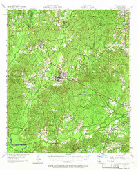 1957 Zwolle1966 Print · USGSSabine Parish in the late fifties shows a rural landscape of timber, oil, and rail transport. Researchers can trace the Kansas City Southern Ry through Zwolle or locate rural landmarks like San Patricio Ch and Clyde Cem.4 unique versions available
 - 1984 Map of Beech Bayou
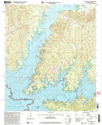
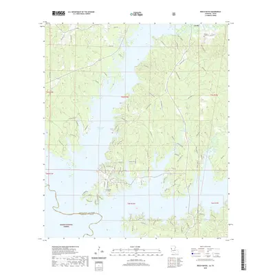
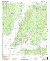 1984 Beech Bayou1984 Print · USGSThe Louisiana-Texas borderlands are captured here in the mid-1980s, showing the complex shoreline of the Toledo Bend Reservoir. Researchers can trace the rural settlement of Alliance and the winding reaches of Bayou San Miguel and Beech Bayou.
 - 1986 Map of Natchitoches
 1986 Natchitoches1986 Print · USGSNorthwestern Louisiana during the mid-eighties shows a landscape shaped by major water projects and timberlands. Researchers can trace historic routes like the Old Spanish Trail or locate rural communities such as Fort Jesup, Fairview Alpha, and Grappes Bluff.2 unique versions available
 - 2003 Map of Beech Bayou, 2004 Print
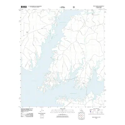
 2003 Beech Bayou2004 Print · USGSThe Sabine River valley and the eastern edge of the Toledo Bend Reservoir are shown here at the start of the 21st century. Researchers can trace land divisions within the La Nana Grant or locate landmarks like the Alliance settlement and the Cem near the forest edge.
 - 2010 Map of Beech Bayou, 2010 Print
 2010 Beech Bayou2010 Print · USGSCovers Alliance, including Zwolle, Sabine Parish, and other nearby areas
 - 2015 Map of Beech Bayou, 2015 Print
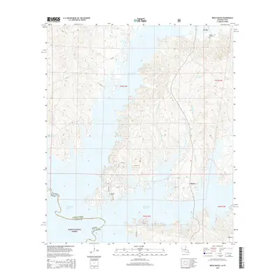 2015 Beech Bayou2015 Print · USGSCovers Alliance, including Zwolle, Sabine Parish, and other nearby areas
 - 2018 Map of Beech Bayou, 2018 Print
 2018 Beech Bayou2018 Print · USGSCovers Alliance, including Zwolle, Sabine Parish, and other nearby areas
 - 2020 Map of Beech Bayou, 2020 Print
 2020 Beech Bayou2020 Print · USGSCovers Alliance, including Zwolle, Sabine Parish, and other nearby areas
 - 2024 Map of Beech Bayou, 2024 Print
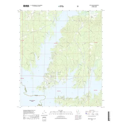
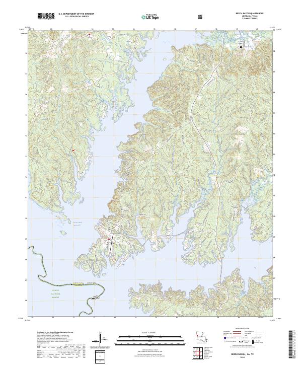 2024 Beech Bayou2024 Print · USGSThe Sabine Parish shoreline and the waters of the Texas border are captured here in the contemporary era. Researchers can trace family history through sites like Old Saint Joseph Cem and family-named roads near Beech Bayou and Lanana Bay.
End of results
Showing maps 1-13 of 13
Top cities near Alliance
- Many historical maps
- Zwolle historical maps
- Hemphill historical maps
- Florien historical maps
- Huxley historical maps
- Fisher historical maps
See more
Frequently asked questions
- What are the different types of historical maps available for Alliance?
- What is the oldest map of Alliance?
- Where can I purchase historical maps of Alliance for my home or office?
- Where can I download high-res historical maps of Alliance?
- Are there historical topographic maps available for Alliance?
- Is there historical aerial imagery available for Alliance?
- Where are historical maps of Alliance sourced from?