Old Maps of Union Springs, Louisiana for Academic Research
Study the evolution of Union Springs with 12 high-resolution historic maps. Whether you're teaching, researching, or modeling changes in land use, these maps provide essential visual documentation of urban, environmental, and geographic change.
- Analyze long-term change: Track patterns in development, transportation, and natural features.
- Ideal for environmental or urban studies: Support academic projects with primary historical map data.
- Use in the classroom or lab: Educators and researchers rely on these maps to bring historical context to life.
These maps are a powerful tool for teaching, research, and visualizing how Union Springs has changed over the decades.
Union Springs, LA maps
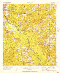
(12)- 1944 Map of Logansport
 1944 Logansport1944 Print · USGSDe Soto and Sabine Parishes are shown in the early 1940s as the Sabine River snakes through a landscape of bayous and forest. Genealogists and local historians can trace family roots through numerous sites like Prude Cem, Morning Glory Sch, and Pauls Store.
 - 1953 Map of Alexandria, 1963 Print
 1953 Alexandria1963 Print · USGSCentral Louisiana during the early fifties is mapped here at the intersection of the piney woods and the Red River valley. Genealogists and historians can trace the rail-and-river network connecting towns like Alexandria, Natchitoches, and the grounds of Camp Beauregard.3 unique versions available
 - 1955 Map of Alexandria
 1955 Alexandria1955 Print · USGSCentral Louisiana in the mid-fifties is a landscape of river-port cities, sprawling timberlands, and massive military reservations. Genealogists and historians can trace the rail networks of the Texas & Pacific RR and locate sites like Camp Polk Military Reservation and Natchitoches.
 - 1956 Map of Logansport, 1957 Print
 1956 Logansport1957 Print · USGSDe Soto Parish and the Texas borderlands come alive in this mid-century survey of the Sabine River valley. Genealogists can trace local landmarks like Pauls Store, Mt Olivet Ch, and the Third Ward Sch across a landscape of rails and river bends.4 unique versions available
 - 1984 Map of Union Springs
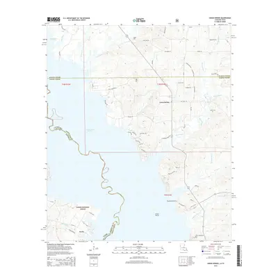
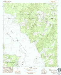 1984 Union Springs1984 Print · USGSThe Louisiana-Texas borderlands are defined by the rising waters of the Toledo Bend Reservoir in this mid-eighties survey. Family historians can trace colonial property lines in the Las Ormigas Grant and locate the settlement of Union Springs.
 - 1986 Map of Natchitoches
 1986 Natchitoches1986 Print · USGSNorthwestern Louisiana during the mid-eighties shows a landscape shaped by major water projects and timberlands. Researchers can trace historic routes like the Old Spanish Trail or locate rural communities such as Fort Jesup, Fairview Alpha, and Grappes Bluff.2 unique versions available
 - 2003 Map of Union Springs, 2004 Print
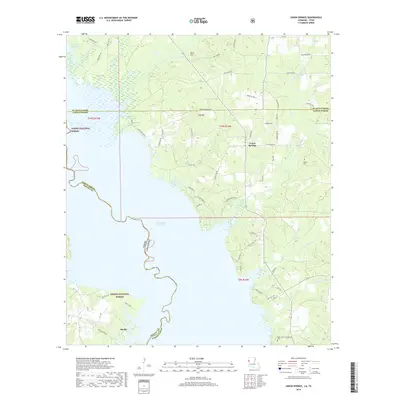
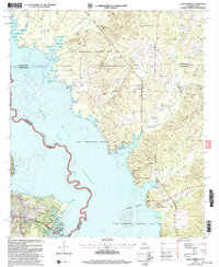 2003 Union Springs2004 Print · USGSThe Louisiana-Texas borderlands are captured here at the turn of the millennium as the Toledo Bend Reservoir reshapes the local geography. Genealogists and historians can locate legacy sites like Bossier Cem, Henretta Ch, and the historical Las Ormigas Grant Lot No 3.
 - 2010 Map of Union Springs, 2010 Print
 2010 Union Springs2010 Print · USGSCovers Union Springs, including Huxley, DeSoto Parish, and other nearby areas
 - 2015 Map of Union Springs, 2015 Print
 2015 Union Springs2015 Print · USGSCovers Union Springs, including Huxley, DeSoto Parish, and other nearby areas
 - 2018 Map of Union Springs, 2018 Print
 2018 Union Springs2018 Print · USGSCovers Union Springs, including Huxley, DeSoto Parish, and other nearby areas
 - 2020 Map of Union Springs, 2020 Print
 2020 Union Springs2020 Print · USGSCovers Union Springs, including Huxley, DeSoto Parish, and other nearby areas
 - 2024 Map of Union Springs, 2024 Print
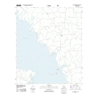
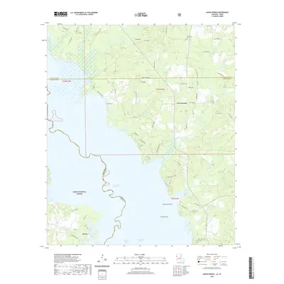
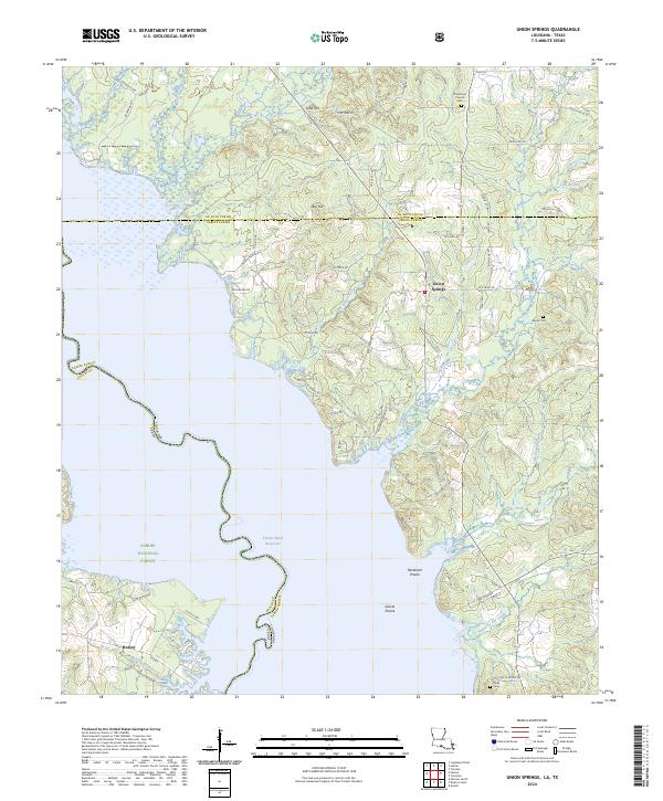 2024 Union Springs2024 Print · USGSThe borderlands of Louisiana and Texas come alive in this survey of the Toledo Bend Reservoir region. Genealogists can trace local roots through landmarks like Union Springs, Oak Grove Church Cem, and the community of Huxley.
End of results
Showing maps 1-12 of 12
Top cities near Union Springs
- Mansfield historical maps
- Zwolle historical maps
- Logansport historical maps
- Converse historical maps
- South Mansfield historical maps
- Huxley historical maps
See more
Frequently asked questions
- What are the different types of historical maps available for Union Springs?
- What is the oldest map of Union Springs?
- Where can I purchase historical maps of Union Springs for my home or office?
- Where can I download high-res historical maps of Union Springs?
- Are there historical topographic maps available for Union Springs?
- Is there historical aerial imagery available for Union Springs?
- Where are historical maps of Union Springs sourced from?