2000s (21st Century) Maps of Saint Helena Parish, Louisiana
Explore 50 historic maps of Saint Helena Parish from the 2000s (21st Century). These maps offer a rare glimpse into what life looked like during the 2000s — showing old roads, neighborhoods, homes, and landmarks that have changed or disappeared over time.
Whether you're researching your family's past, planning a metal detecting trip, or studying how Saint Helena Parish's landscape evolved across the 2000s, these high-resolution maps are a powerful tool for exploring the history of this region.
- Focus on a specific era: All maps on this page are from the 2000s, giving you a focused view of this time period.
- See what’s changed: Compare century-old streets, trails, and buildings to today's modern landscape using overlays and satellite layers.
- Research with precision: Use these maps for genealogy, historical research, land use analysis, or educational projects.
- View, download, or print: Maps are fully viewable online in high resolution, and can be downloaded or printed for your own records.
Start exploring Saint Helena Parish's history through authentic maps from the 2000s. This is your window into the past.
Saint Helena Parish, LA maps
(50)- 2012 Map of Greensburg, 2012 Print
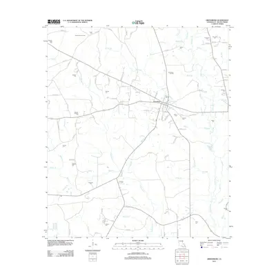 2012 Greensburg2012 Print · USGSGreensburg and the surrounding Saint Helena Parish landscape appear here in the early 2010s, showing a region defined by oil production and river tributaries. Genealogists can locate numerous burial sites including Womack-Brickham Cem, Chapman Cem, and Kemp Cem.
 - 2012 Map of Pine Grove, 2012 Print
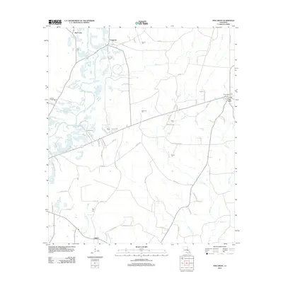 2012 Pine Grove2012 Print · USGSSaint Helena Parish at the start of the decade shows a rural landscape defined by the Amite River and small timber-belt settlements. Genealogists and local historians can trace family burial sites like Naul Cem or Glover Cem and locate landmarks such as the Pine Grove Lookout Tower.
 - 2012 Map of Liverpool, 2012 Print
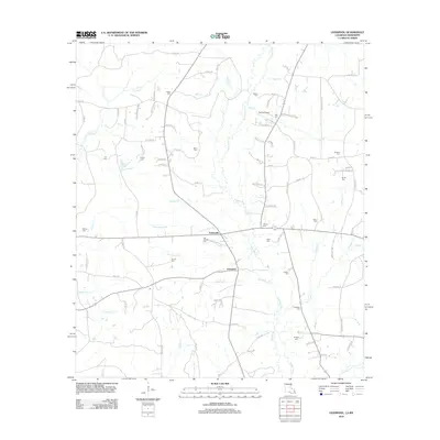 2012 Liverpool2012 Print · USGSSaint Helena Parish at the start of the 2010s reveals a deeply rooted rural landscape centered on the Tickfaw River. Genealogists can trace family lines across more than a dozen local burial sites, from Old Venable Cem to the Crittenden Cem and Bridges Cem.
 - 2012 Map of Hatchersville, 2012 Print
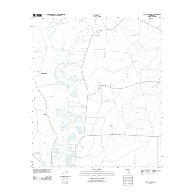 2012 Hatchersville2012 Print · USGSGilead and the Amite River basin are captured here in the early twenty-first century, showcasing a rural landscape defined by creek networks and family history. Researchers can locate several burial sites and local landmarks including Pipkin Chapel Cemetery, Youngblood Cem, and Powers Cem.
 - 2012 Map of Chipola, 2012 Print
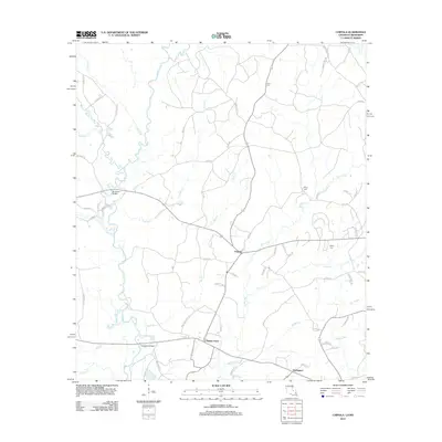 2012 Chipola2012 Print · USGSSaint Helena Parish near the Mississippi border is shown in the early twenty-first century as a land of creek-side settlements and rural homesteads. Genealogists can locate family-named routes and burial grounds such as Hurst Cem or trace the early paths of Chipola and Coleman Town.
 - 2012 Map of Kentwood, 2012 Print
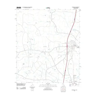 2012 Kentwood2012 Print · USGSUpper Tangipahoa Parish near the Mississippi border shows a landscape of deep-rooted family settlements and rural industries in the early 21st century. Genealogists can locate numerous family burial sites such as Amacker Cem and Woodland Cem, or trace the historical grounds of Camp Moore Confederate Cem.
 - 2012 Map of Roseland, 2012 Print
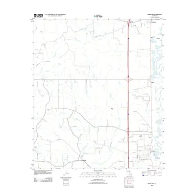 2012 Roseland2012 Print · USGSTangipahoa Parish in the early twenty-first century reveals a sequence of historic rail-aligned towns. Genealogists and historians can trace local family lineages through numerous sites including Arcola-Roseland Cem, Big Zion Cem, and the settlement of Kedron.
 - 2012 Map of Pride, 2012 Print
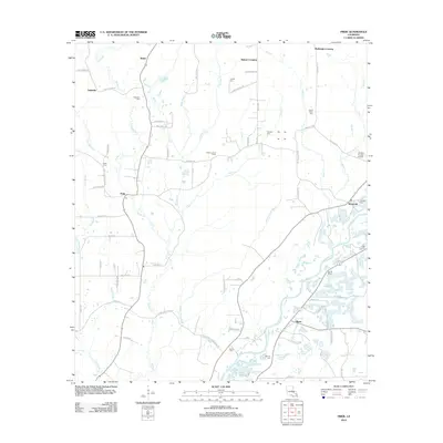 2012 Pride2012 Print · USGSEast Feliciana Parish in the early 2010s remains a landscape of small river settlements and deep-rooted family history. Researchers can trace numerous local burial sites including Mahoney Cem and South Union Cem, or locate landmarks like the Pride Lookout Tower near the Amite River.
 - 2012 Map of Montpelier, 2012 Print
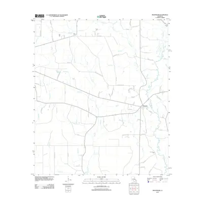 2012 Montpelier2012 Print · USGSMontpelier and the rural stretches of Saint Helena Parish appear here in the early twenty-first century, a landscape defined by the winding Tickfaw River. Researchers can trace family history through sites like New Hope Cem or explore the drainage of Hog Bayou and E Hog Br.
 - 2012 Map of Amite, 2012 Print
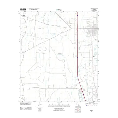 2012 Amite2012 Print · USGSTangipahoa Parish is captured here during a period of modern growth and rural continuity. Genealogists and local historians can trace family locations through sites like Bennett Cem, McMichael Cem, and the Bickham Chapel congregation.
 - 2015 Map of Chipola, 2015 Print
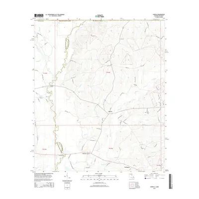 2015 Chipola2015 Print · USGSNear the Louisiana-Mississippi border in the mid-2010s, this area of the Florida Parishes shows a rural landscape defined by its stream network and parish roads. Researchers can trace family history through sites like Wales Cem and crossings such as Thompson Bridge or McAdam Bridge.
 - 2015 Map of Kentwood, 2015 Print
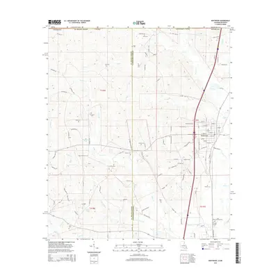 2015 Kentwood2015 Print · USGSKentwood and the surrounding piney woods of Tangipahoa Parish are shown here in the mid-2010s. Researchers can locate numerous family burial sites such as Amacker Cem and Burch Cem, or trace the historical significance of the Camp Moore Cem area.
 - 2015 Map of Greensburg, 2015 Print
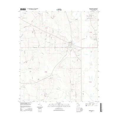 2015 Greensburg2015 Print · USGSGreensburg and the surrounding Saint Helena Parish countryside are documented here in the mid-2010s, showing a landscape defined by the Tickfaw River and historic family homesteads. Researchers can locate numerous ancestral sites including Womack-Muse Cem, Bickham Cem, and McGehee Cem.
 - 2015 Map of Liverpool, 2015 Print
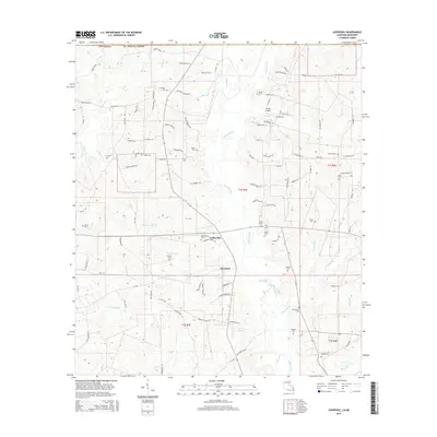 2015 Liverpool2015 Print · USGSSt. Helena Parish in the mid-2010s remains a landscape of quiet creek-fed settlements and deep-rooted family histories. Genealogists can trace local lineages through a high concentration of rural burial sites, including McCoy Cem, Frazier Cem, and Crittenden Cem.
 - 2015 Map of Montpelier, 2015 Print
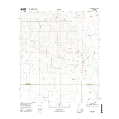 2015 Montpelier2015 Print · USGSMontpelier and the St. Helena parish country are documented here in the mid-2010s, showing a rural landscape defined by the Tickfaw River. Researchers can locate family landmarks such as the Hillsdale Cem, New Hope Cem, and Shiloh Baptist Church.
 - 2015 Map of Pine Grove, 2015 Print
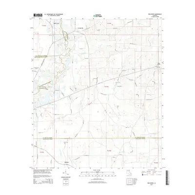 2015 Pine Grove2015 Print · USGSSt. Helena Parish and its neighboring borders are documented here in the mid-2010s, showing a landscape of timbered tracts and quiet crossroads. Genealogists can trace family names through numerous burial sites like Sand Hill Cem and Glover Cem, or locate residents near Grangeville and Pine Grove.
 - 2015 Map of Hatchersville, 2015 Print
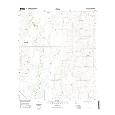 2015 Hatchersville2015 Print · USGSThe Amite River floodplain and the rural uplands of East Feliciana Parish are documented here in the mid-2010s. Genealogists and local historians can trace family-named landmarks and old burial grounds such as Youngblood Cem and Pipkin Chapel Cem near Gilead.
 - 2015 Map of Roseland, 2015 Print
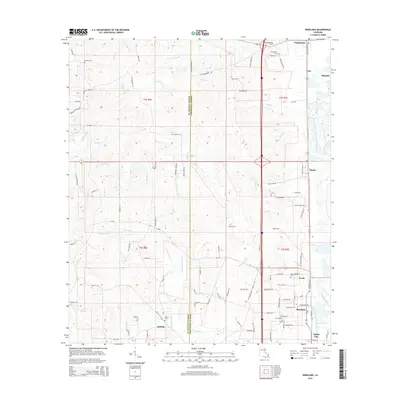 2015 Roseland2015 Print · USGSTangipahoa Parish is seen here during a period of modern growth while maintaining its deep rural roots and numerous creek drainages. Researchers can trace family history through several burial sites like Phillips Cem and Big Zion Cem, or explore the settlement patterns near Kedron and Amite City.
 - 2015 Map of Pride, 2015 Print
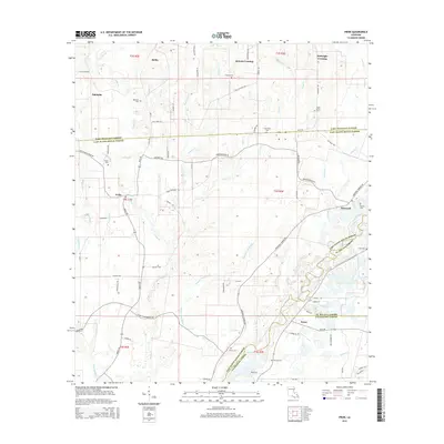 2015 Pride2015 Print · USGSThe rural borderlands where four Louisiana parishes meet are captured here in the mid-2010s, showing the local road networks and bayous. Genealogists can locate family landmarks such as South Union Cem, McKnight Crossing, and the banks of the Amite River.
 - 2015 Map of Amite, 2015 Print
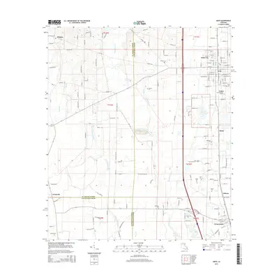 2015 Amite2015 Print · USGSTangipahoa Parish and its neighbors come into sharp focus in the early 2010s as the communities of Amite City and Independence grow along the river corridor. Genealogists can trace family names through numerous burial sites like Hillsdale Cem, Durbin Cem, and Sharkey Cem.
 - 2018 Map of Roseland, 2018 Print
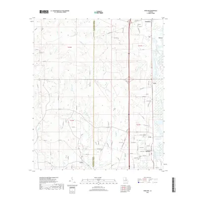 2018 Roseland2018 Print · USGSLouisiana's Tangipahoa Parish corridor comes into focus here during the late 2010s, showing the established communities and rural reaches between the parish lines. Genealogists can locate several local burial sites including Arcola-Roseland Cem and Big Zion Cem near Roseland.
 - 2018 Map of Hatchersville, 2018 Print
 2018 Hatchersville2018 Print · USGSEast Feliciana and St. Helena Parishes appear here in the modern era, divided by the winding path of the Amite River. Researchers can trace local heritage through landmarks like Pipkin Chapel Cem, Hatchersville, and family-named routes such as George Wright Ln.
 - 2018 Map of Montpelier, 2018 Print
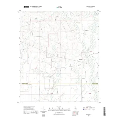 2018 Montpelier2018 Print · USGSNorth of the Livingston Parish line in 2018, the woods of St. Helena Parish remain centered on the village of Montpelier. Genealogists and local historians can trace family roots through sites like Shiloh Baptist Church, George Cem, and the old settlement of Jack.
 - 2018 Map of Chipola, 2018 Print
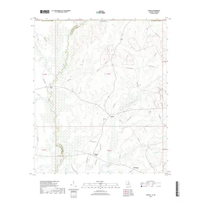 2018 Chipola2018 Print · USGSSaint Helena Parish and East Feliciana Parish are shown here as they appeared in the late 2010s, divided by the winding East Fork Amite River. Researchers can trace local family lineages through named landmarks like Kemp Cem and the small settlements of Chipola and Coleman Town.
 - 2018 Map of Liverpool, 2018 Print
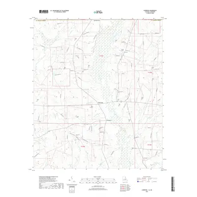 2018 Liverpool2018 Print · USGSSaint Helena Parish near the Mississippi line is captured here in the late twenty-teens, showing a landscape of family homesteads and the Tickfaw River. Genealogists can trace numerous burial sites such as Old Venable Cem and Carruth Cem near Liverpool.
Showing maps 1-25 of 50
Top cities of Saint Helena Parish
Frequently asked questions
- What are the different types of historical maps available for Saint Helena Parish?
- What is the oldest map of Saint Helena Parish?
- Where can I purchase historical maps of Saint Helena Parish for my home or office?
- Where can I download high-res historical maps of Saint Helena Parish?
- Are there historical topographic maps available for Saint Helena Parish?
- Is there historical aerial imagery available for Saint Helena Parish?
- Where are historical maps of Saint Helena Parish sourced from?