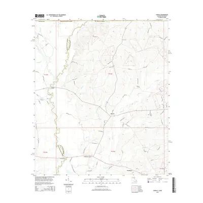
2015 Map of Chipola
USGS Topo · Published 2015About this map
Coleman Town and Chipola are central points of interest in this rural corridor along the border of St. Helena Parish and East Felician Parish. The landscape is defined by a dense network of watercourses, including Turkey Cr, Buck Cr, and Sandy Run, which carve through the wooded terrain of northern Louisiana. This modern survey illustrates the persistent importance of early transportation crossings, such as Thompson Bridge over Spring Br and McAdam Bridge to the north, which link isolated parish roads and local lanes.
Find a feature on this map
79 named features on this map. Tap any name to fly to it.
Don’t see what you’re looking for? This feature index may not catch every label — zoom into the map to look around manually.
Map Details
Editions of this 2015 Chipola Map
This is the sole edition of this map. No revisions or reprints were ever made.
Other maps of this area

1941 · Woodland
USGS Topo · 1:31,680

1941 · Gilead
USGS Topo · 1:31,680

1941 · Chipola
USGS Topo · 1:31,680

1942 · Liverpool
USGS Topo · 1:31,680

1942 · Gilead
USGS Topo · 1:31,680

1945 · Chipola
USGS Topo · 1:31,680

1949 · Bluff Creek
USGS Topo · 1:31,680

1950 · Greensburg
USGS Topo · 1:31,680

1953 · Natchez
USGS Topo · 1:250,000

1954 · Baton Rouge
USGS Topo · 1:250,000