Old Maps of Independence, Louisiana for Academic Research
Study the evolution of Independence with 38 high-resolution historic maps. Whether you're teaching, researching, or modeling changes in land use, these maps provide essential visual documentation of urban, environmental, and geographic change.
- Analyze long-term change: Track patterns in development, transportation, and natural features.
- Ideal for environmental or urban studies: Support academic projects with primary historical map data.
- Use in the classroom or lab: Educators and researchers rely on these maps to bring historical context to life.
These maps are a powerful tool for teaching, research, and visualizing how Independence has changed over the decades.
Independence, LA maps
(38)- 1940 Map of Tickfaw
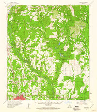
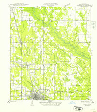 1940 Tickfaw1940 Print · USGSTangipahoa Parish at the start of the 1940s is shown here as a landscape of river-bottom woods and growing railroad towns. Researchers can trace the development of Hammond and SE LA COLLEGE, or locate family landmarks like Red Hill Sch and Colonial Cem.
 - 1942 Map of Loranger
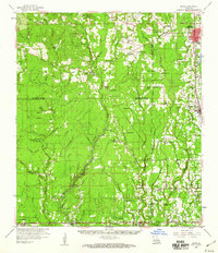
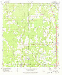
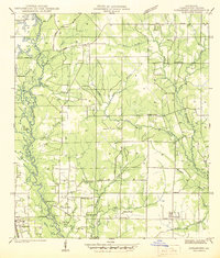 1942 Loranger1942 Print · USGSTangipahoa Parish at the dawn of the 1940s reveals a landscape of river-bottom lands and rural crossroads. Genealogists can trace early family sites like Spring Cem, Union Ch, and the Barnett Sch along the Illinois Central line.
 - 1949 Map of Amite
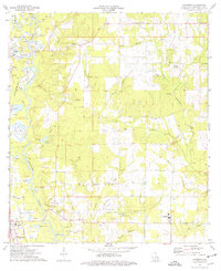
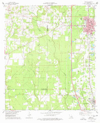
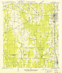 1949 Amite1949 Print · USGSTangipahoa Parish enters the post-war era as a busy corridor of rail commerce and rural community life. Researchers can trace family roots through numerous local landmarks, including Baham Cemetery, McMichael Church, and the Illinois Central line through Amite.
 - 1949 Map of Albany
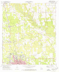
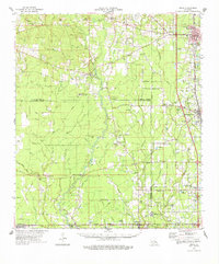
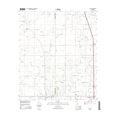
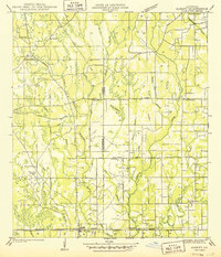 1949 Albany1949 Print · USGSLivingston Parish and Tangipahoa Parish settlements are mapped here just after the war, showing the rural landscape before modern development. Researchers can trace family history through sites like Hoover Cem, Woodhaven, and the Seventh Ward Sch near the Natalbany River.
 - 1954 Map of Baton Rouge, 1974 Print
 1954 Baton Rouge1974 Print · USGSSoutheast Louisiana in the mid-fifties is captured here during a period of transition for its river and rail economies. Researchers can trace the path of the Mississippi River and find landmarks like the Bonnet Carre Spillway and Bayou Plaquemine.2 unique versions available
 - 1956 Map of Baton Rouge
 1956 Baton Rouge1956 Print · USGSSouth Louisiana at the height of the mid-century oil boom shows a landscape of river oxbows and rising industry. Researchers can trace family roots through river towns like Scotlandville or locate early industrial sites and Oil wells near Lake Maurepas.
 - 1959 Map of Hammond, 1960 Print
 1959 Hammond1960 Print · USGSTangipahoa Parish at the close of the 1950s showcases a landscape where the river-and-rail economy met the growth of Southeastern La College. Genealogists can trace family names through dozens of rural sites like Briar Patch Cem, Union Training Sch, and Cooper Chapel.2 unique versions available
 - 1959 Map of Amite, 1960 Print
 1959 Amite1960 Print · USGSSoutheastern Louisiana parishes in the late fifties show a landscape of river-fed bottomlands and rail-centered towns. Genealogists can trace family lines at Leonard Chapel Cems, Gatlin Cem, and the St John the Baptist Chapel.3 unique versions available
 - 1961 Map of Baton Rouge, 1966 Print
 1961 Baton Rouge1966 Print · USGSSoutheastern Louisiana in the early sixties remains a landscape of deep river bends and sprawling coastal lakes. Genealogists and historians can trace the rail-and-river economy through landmarks like Free-Nigger Point, Donaldsonville, and the Illinois Central Railroad.
 - 1962 Map of Baton Rouge
 1962 Baton Rouge1962 Print · USGSSouth Louisiana in the early sixties reveals a landscape of river-bend parishes and emerging interstate corridors. Genealogists and historians can trace family roots through historic river towns like Donaldsonville and Plaquemine, or follow the path of the Illinois Central Railroad through the swamp basins.
 - 1974 Map of Loranger, 1977 Print
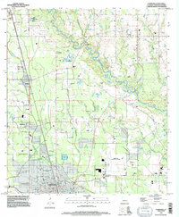
 1974 Loranger1977 Print · USGSThe Tangipahoa River valley comes into focus in the mid-1970s, showing a landscape of river-side gravel mining and scattered rural parishes. Genealogists can locate family burial sites at Donaldson Cem or trace the early footprint of Loranger and Amite.
 - 1974 Map of Hammond, 1977 Print
 1974 Hammond1977 Print · USGSTangipahoa Parish shows a mix of college-town growth and rural industry in the mid-seventies, centered on the city of Hammond. Genealogists and local historians can locate specific family landmarks such as Tycer Cem, Lanier Cem, and Hagans Chapel along the Tangipahoa River corridor.
 - 1974 Map of Hammond, 1977 Print
 1974 Hammond1977 Print · USGSTangipahoa Parish in the mid-1970s shows a landscape of growing towns and deep-rooted rural communities. Trace family history at Wainwright Cem or Shady Grove Ch, and explore the rail corridor through Independence and Natalbany.
 - 1974 Map of Albany, 1978 Print
 1974 Albany1978 Print · USGSLouisiana's piney woods and creek bottoms are captured here in the mid-seventies, showing the intersection of parish life and industrial growth. Researchers can locate several family cemeteries like Hutchinson Cem and follow the Illinois Central Gulf rail line through Baptist.
 - 1974 Map of Amite, 1978 Print
 1974 Amite1978 Print · USGSThe Tangipahoa Parish landscape in the mid-seventies shows the steady growth of Amite and Independence along the vital Illinois Central Gulf rail corridor. Genealogists and historians can trace numerous family landmarks, from Baham Cem and Durbin Cem to local spiritual centers like Harris Chapel.
 - 1974 Map of Amite, 1978 Print
 1974 Amite1978 Print · USGSSoutheastern Louisiana’s parish boundaries and river bottoms come into focus in the mid-seventies. Genealogists can trace family names through rural landmarks like Sharkey Cem, Leonard Chapel, and the Illinois Central Gulf rail corridor.
 - 1983 Map of Amite
 1983 Amite1983 Print · USGSThe Florida Parishes and southern Mississippi are captured here in the early 1980s, centered on the Illinois Central Gulf rail corridor. Genealogists and historians can trace family-named sites like the Camp Moore Confederate Cem, Magnolia Ch, and the Idlewild Plantation (State University).
 - 1994 Map of Hammond, 1996 Print
 1994 Hammond1996 Print · USGSTangipahoa Parish in the mid-1990s shows a landscape of growing towns and deep-rooted family history. Researchers can trace the layout of Southeastern Louisiana University and locate numerous small burial grounds like Colonial Cem and Narretto Cem.
 - 2012 Map of Hammond, 2012 Print
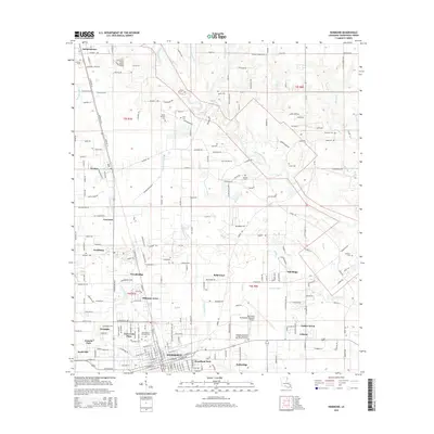
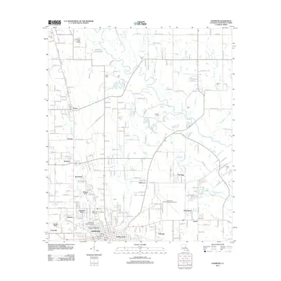 2012 Hammond2012 Print · USGSCovers Independence, including Hammond, Tickfaw, and other nearby areas
 - 2012 Map of Loranger, 2012 Print
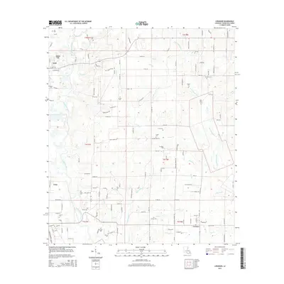
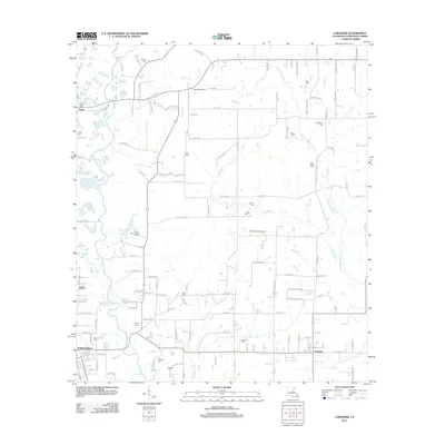 2012 Loranger2012 Print · USGSCovers Independence, including Velma, Amite City, and other nearby areas
 - 2012 Map of Albany, 2012 Print
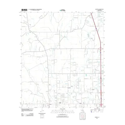 2012 Albany2012 Print · USGSCovers Independence, including Hammond, Albany, and other nearby areas
 - 2012 Map of Amite, 2012 Print
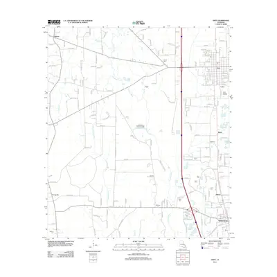 2012 Amite2012 Print · USGSCovers Independence, including Hillsdale, Gullett, and other nearby areas
 - 2015 Map of Albany, 2015 Print
 2015 Albany2015 Print · USGSCovers Independence, including Hammond, Albany, and other nearby areas
 - 2015 Map of Hammond, 2015 Print
 2015 Hammond2015 Print · USGSCovers Independence, including Hammond, Tickfaw, and other nearby areas
 - 2015 Map of Loranger, 2015 Print
 2015 Loranger2015 Print · USGSCovers Independence, including Velma, Amite City, and other nearby areas
Showing maps 1-25 of 38
Top cities near Independence
- Hammond historical maps
- Ponchatoula historical maps
- Livingston historical maps
- Albany historical maps
- Roseland historical maps
- Tickfaw historical maps
See more
Top neighborhoods of Independence
Frequently asked questions
- What are the different types of historical maps available for Independence?
- What is the oldest map of Independence?
- Where can I purchase historical maps of Independence for my home or office?
- Where can I download high-res historical maps of Independence?
- Are there historical topographic maps available for Independence?
- Is there historical aerial imagery available for Independence?
- Where are historical maps of Independence sourced from?