Old Maps of Fort Johnson South, Louisiana for Metal Detecting
Plan your next treasure hunt with 16 historic maps of Fort Johnson South. Find old homesites, ghost towns, trails, and gathering spots that may be lost to time — perfect for identifying promising metal detecting locations.
- Locate forgotten sites: Uncover places like long-lost settlements, abandoned rail lines, or gathering spots.
- Plan better hunts: Use map overlays combined with LiDAR or satellite views to narrow in on historically rich areas.
- Made for detectorists: Thousands of hobbyists use these maps to discover relics, coins, and hidden history.
Use these historic maps to boost your research and find new opportunities beneath the surface of Fort Johnson South.
Fort Johnson South, LA maps
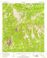
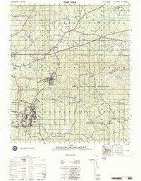
(16)- 1941 Map of Slagle
 1941 Slagle1941 Print · USGSVernon Parish at the start of the 1940s reveals a landscape rapidly adapting to military mobilization. Genealogists and historians can trace the foundations of Camp Polk alongside rural community landmarks like Slagle, Ebenezer Ch, and the Big Creek Sch.
 - 1944 Map of Slagle
 1944 Slagle1944 Print · USGSVernon Parish is shown at the height of World War II activity as the massive Camp Polk Military Reservation expands across the landscape. Genealogists and historians can trace local landmarks like Slagle, Big Creek Sch, and Zion Hill Cem alongside the complex web of an active Logging Railroad.
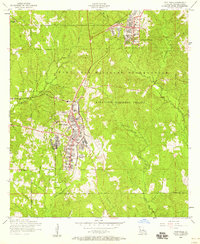
 - 1953 Map of Alexandria, 1963 Print
 1953 Alexandria1963 Print · USGSCentral Louisiana during the early fifties is mapped here at the intersection of the piney woods and the Red River valley. Genealogists and historians can trace the rail-and-river network connecting towns like Alexandria, Natchitoches, and the grounds of Camp Beauregard.3 unique versions available
 - 1954 Map of Slagle, 1958 Print
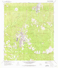
 1954 Slagle1958 Print · USGSVernon Parish at the height of the mid-century military era shows the expansive development of North Fort Polk alongside deep-rooted rural communities. Genealogists and local historians can trace family locations through numerous sites like Smart Chapel Cem, Self Cem, and Mt Bethel Church.2 unique versions available
 - 1954 Map of Fort Polk, 1958 Print
 1954 Fort Polk1958 Print · USGSFort Polk and the Vernon Parish pine woods appear here in the mid-fifties during a period of significant military infrastructure development. Researchers can trace historic cemeteries such as 2 In Hill Cemetery, the Kansas City Southern rail line, and the winding course of Whiskey Chitto Creek.2 unique versions available
 - 1955 Map of Alexandria
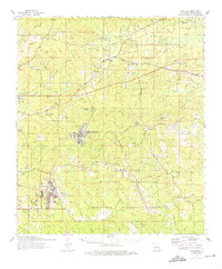
 1955 Alexandria1955 Print · USGSCentral Louisiana in the mid-fifties is a landscape of river-port cities, sprawling timberlands, and massive military reservations. Genealogists and historians can trace the rail networks of the Texas & Pacific RR and locate sites like Camp Polk Military Reservation and Natchitoches.
 - 1974 Map of Fort Polk, 1975 Print
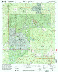
 1974 Fort Polk1975 Print · USGSVernon Parish at the height of the mid-seventies reveals a landscape defined by the expansive Fort Polk Military Reservation and national forest lands. Genealogists and historians can trace numerous rural burial sites like Smart Cem and Cemetery Number 7 alongside infrastructure like the Kansas City Southern railroad.3 unique versions available
 - 1974 Map of Fort Polk, 1975 Print
 1974 Fort Polk1975 Print · USGSThe piney woods of Vernon Parish are shown during the mid-seventies, defined by the sprawling Fort Polk Military Reservation and national forest lands. Researchers can find numerous family cemeteries and remote outposts like Slagle, Simpson, and the Zion Hill Cem.
 - 1977 Map of Fort Polk
 1977 Fort Polk1977 Print · USGSVernon Parish in the late seventies shows the massive footprint of the Fort Polk Military Reservation alongside the Kisatchie National Forest. Genealogists and local historians can trace family roots through numerous sites like Antioch Church & Cem and the remote Glass Window Cemetery.
 - 1986 Map of Leesville, 1988 Print
 1986 Leesville1988 Print · USGSThe Louisiana-Texas borderlands in the mid-eighties centered on the vast Toledo Bend Reservoir and the timber-rich piney woods. Researchers can trace the Kansas City Southern RR corridor or locate old communities like Wiergate, Rosevine, and Sandel.
 - 2003 Map of Fort Polk, 2005 Print
 2003 Fort Polk2005 Print · USGSLouisiana's Vernon Parish is seen here as a landscape of military training and forest management at the turn of the millennium. Researchers can locate family landmarks like Smart Cem and Zion Hill Ch alongside the airfield and Strip Mine.
 - 2012 Map of Fort Polk, 2012 Print
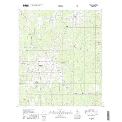
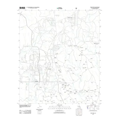 2012 Fort Polk2012 Print · USGSCovers Fort Johnson South, including North Fort Polk, Sandy Hill, and other nearby areas
 - 2015 Map of Fort Polk, 2015 Print
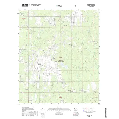
 2015 Fort Polk2015 Print · USGSCovers Fort Johnson South, including North Fort Polk, Sandy Hill, and other nearby areas
 - 2018 Map of Fort Polk, 2018 Print
 2018 Fort Polk2018 Print · USGSCovers Fort Johnson South, including North Fort Polk, Sandy Hill, and other nearby areas
 - 2020 Map of Fort Polk, 2020 Print
 2020 Fort Polk2020 Print · USGSCovers Fort Johnson South, including North Fort Polk, Sandy Hill, and other nearby areas
 - 2024 Map of Fort Polk, 2024 Print
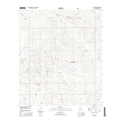
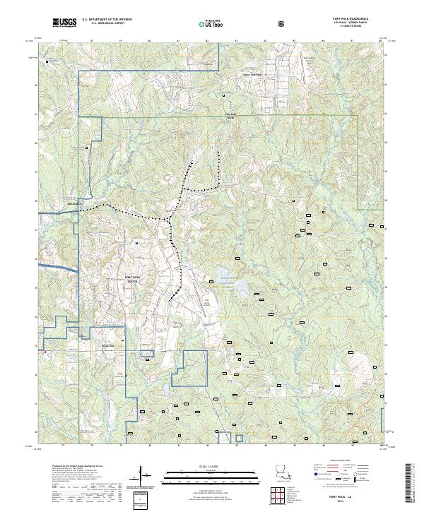 2024 Fort Polk2024 Print · USGSVernon Parish at the modern day showcases the sprawling military and forest lands of the Louisiana interior. Researchers can trace family history through sites like Zion Hill Cem and Burns Cem or locate the airfield at Polk Army Airfield.
End of results
Showing maps 1-16 of 16
Top cities near Fort Johnson South
- Leesville historical maps
- New Llano historical maps
- Rosepine historical maps
- Anacoco historical maps
- Simpson historical maps
Top neighborhoods of Fort Johnson South
Frequently asked questions
- What are the different types of historical maps available for Fort Johnson South?
- What is the oldest map of Fort Johnson South?
- Where can I purchase historical maps of Fort Johnson South for my home or office?
- Where can I download high-res historical maps of Fort Johnson South?
- Are there historical topographic maps available for Fort Johnson South?
- Is there historical aerial imagery available for Fort Johnson South?
- Where are historical maps of Fort Johnson South sourced from?