2000s (21st Century) Maps of T15 R5 WELS, Maine
Explore 20 historic maps of T15 R5 WELS from the 2000s (21st Century). These maps offer a rare glimpse into what life looked like during the 2000s — showing old roads, neighborhoods, homes, and landmarks that have changed or disappeared over time.
Whether you're researching your family's past, planning a metal detecting trip, or studying how T15 R5 WELS's landscape evolved across the 2000s, these high-resolution maps are a powerful tool for exploring the history of this region.
- Focus on a specific era: All maps on this page are from the 2000s, giving you a focused view of this time period.
- See what’s changed: Compare century-old streets, trails, and buildings to today's modern landscape using overlays and satellite layers.
- Research with precision: Use these maps for genealogy, historical research, land use analysis, or educational projects.
- View, download, or print: Maps are fully viewable online in high resolution, and can be downloaded or printed for your own records.
Start exploring T15 R5 WELS's history through authentic maps from the 2000s. This is your window into the past.
T15 R5 WELS, ME maps
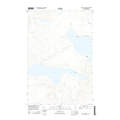
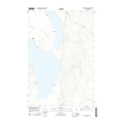
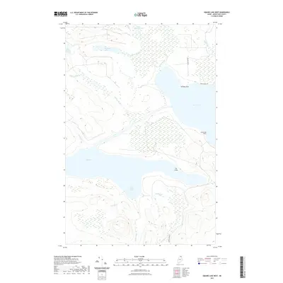
(20)- 2011 Map of Square Lake East, 2011 Print
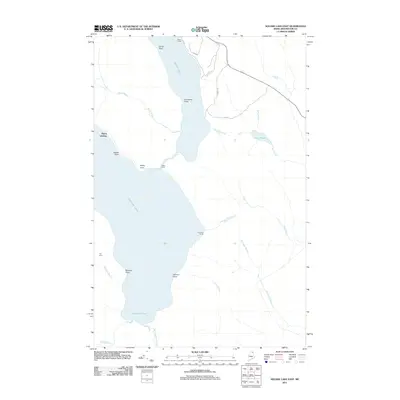 2011 Square Lake East2011 Print · USGSCovers T15 R5 WELS, including Square Lake, Westmanland, and other nearby areas
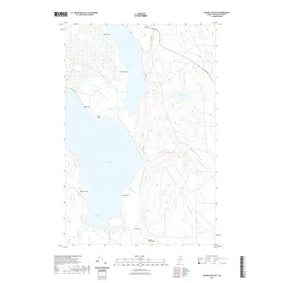
 - 2011 Map of Square Lake West, 2011 Print
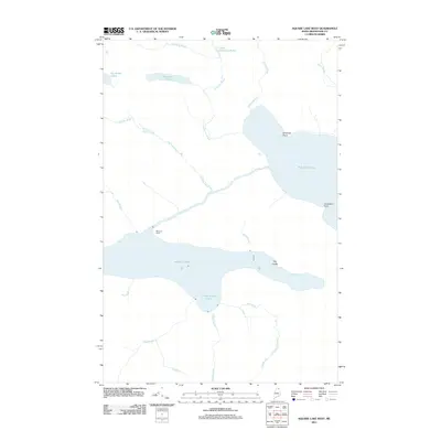 2011 Square Lake West2011 Print · USGSCovers T15 R5 WELS, including Square Lake, New Canada, and other nearby areas
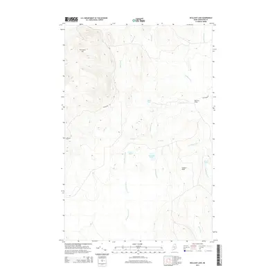
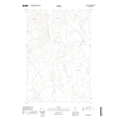
 - 2011 Map of McClusky Lake, 2011 Print
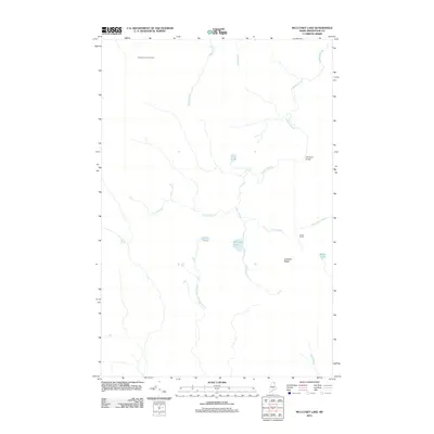 2011 McClusky Lake2011 Print · USGSCovers T15 R5 WELS, including T15 R6 WELS, T14 R5 WELS, and other nearby areas
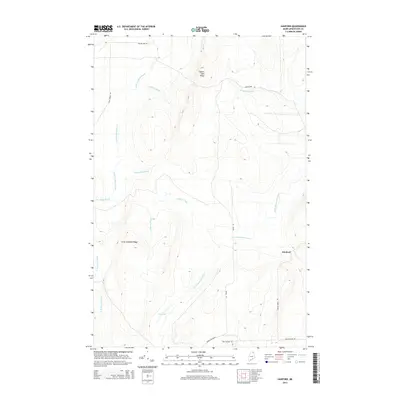
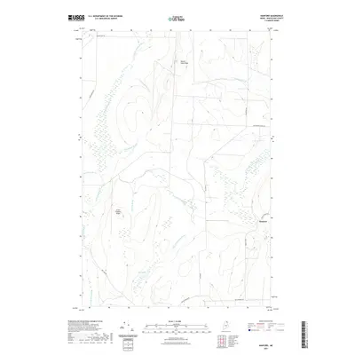
 - 2011 Map of Hanford, 2011 Print
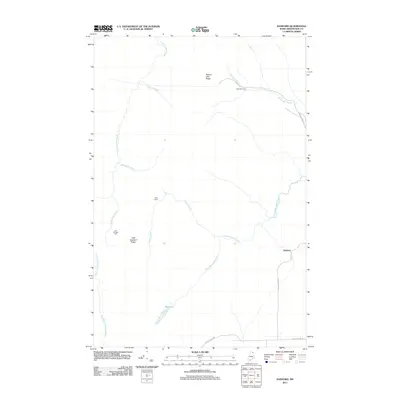 2011 Hanford2011 Print · USGSCovers T15 R5 WELS, including Perham, Westmanland, and other nearby areas
 - 2014 Map of Square Lake West, 2014 Print
 2014 Square Lake West2014 Print · USGSCovers T15 R5 WELS, including Square Lake, New Canada, and other nearby areas
 - 2014 Map of Hanford, 2014 Print
 2014 Hanford2014 Print · USGSCovers T15 R5 WELS, including Perham, Westmanland, and other nearby areas
 - 2014 Map of McClusky Lake, 2014 Print
 2014 McClusky Lake2014 Print · USGSCovers T15 R5 WELS, including T15 R6 WELS, T14 R5 WELS, and other nearby areas
 - 2014 Map of Square Lake East, 2014 Print
 2014 Square Lake East2014 Print · USGSCovers T15 R5 WELS, including Square Lake, Westmanland, and other nearby areas
 - 2018 Map of McClusky Lake, 2018 Print
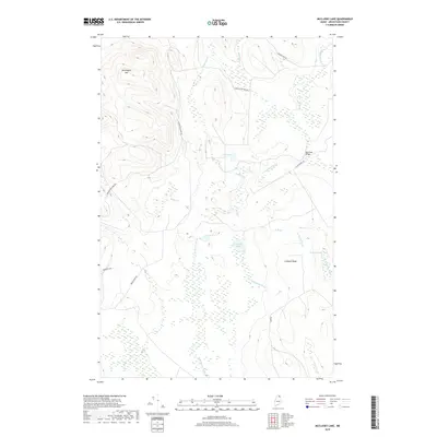 2018 McClusky Lake2018 Print · USGSCovers T15 R5 WELS, including T15 R6 WELS, T14 R5 WELS, and other nearby areas
 - 2018 Map of Hanford, 2018 Print
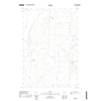 2018 Hanford2018 Print · USGSCovers T15 R5 WELS, including Perham, Westmanland, and other nearby areas
 - 2018 Map of Square Lake East, 2018 Print
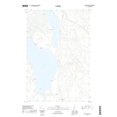 2018 Square Lake East2018 Print · USGSCovers T15 R5 WELS, including Square Lake, Westmanland, and other nearby areas
 - 2018 Map of Square Lake West, 2018 Print
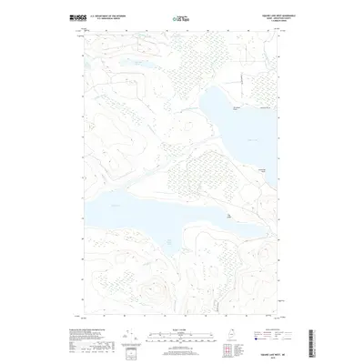 2018 Square Lake West2018 Print · USGSCovers T15 R5 WELS, including Square Lake, New Canada, and other nearby areas
 - 2021 Map of Square Lake West, 2021 Print
 2021 Square Lake West2021 Print · USGSCovers T15 R5 WELS, including Square Lake, New Canada, and other nearby areas
 - 2021 Map of Square Lake East, 2021 Print
 2021 Square Lake East2021 Print · USGSCovers T15 R5 WELS, including Square Lake, Westmanland, and other nearby areas
 - 2021 Map of McClusky Lake, 2021 Print
 2021 McClusky Lake2021 Print · USGSCovers T15 R5 WELS, including T15 R6 WELS, T14 R5 WELS, and other nearby areas
 - 2021 Map of Hanford, 2021 Print
 2021 Hanford2021 Print · USGSCovers T15 R5 WELS, including Perham, Westmanland, and other nearby areas
 - 2024 Map of McClusky Lake, 2024 Print
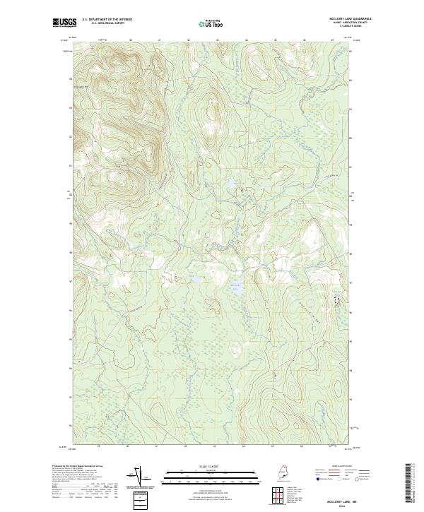 2024 McClusky Lake2024 Print · USGSAroostook County in the 2020s remains a landscape of managed timberlands and intricate waterways. Trace the network of forest roads and remote brooks including Moose Horn Rd, McClusky Lake, and the high reaches of Pennington Mtn.
 - 2024 Map of Hanford, 2024 Print
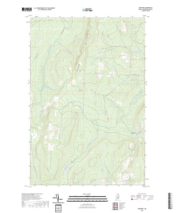 2024 Hanford2024 Print · USGSAroostook County in the early twenty-first century remains a landscape of deep woods and winding waterways west of the settlement at Hanford. Trace the timber and transport routes along the Little Madawaska River and the areas around Bog Lake.
 - 2024 Map of Square Lake West, 2024 Print
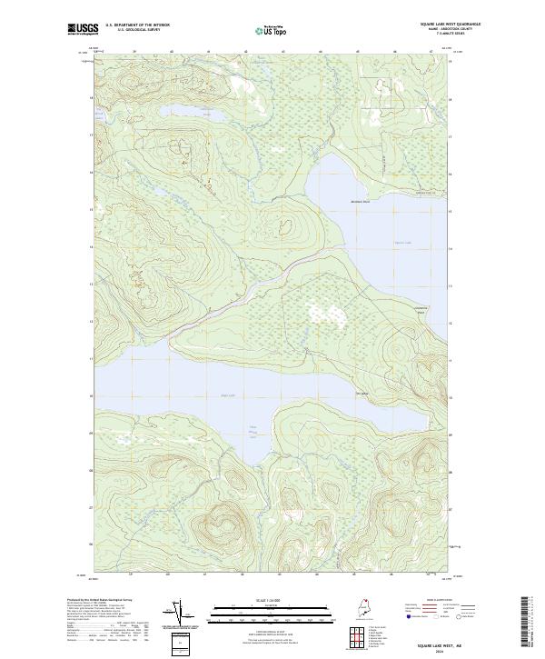 2024 Square Lake West2024 Print · USGSNorthern Maine's Fish River chain is captured in the modern era, showing the expansive shoreline of Eagle Lake and Square Lake. Trace the local waterways and lake access points like Abraham Point and the sheltered Three Brooks Cove for research or recreation.
 - 2024 Map of Square Lake East, 2024 Print
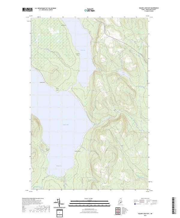 2024 Square Lake East2024 Print · USGSNorthern Maine's lake country is captured in the modern era, showing the intricate shorelines of the Fish River Chain. Map collectors and local researchers can trace the woods roads and drainage patterns around Square Lake, Cross Lake, and Goddard Cove.
End of results
Showing maps 1-20 of 20
Top cities near T15 R5 WELS
- Mapleton historical maps
- Washburn historical maps
- Woodland historical maps
- Eagle Lake historical maps
- New Sweden historical maps
- Square Lake historical maps
See more
Frequently asked questions
- What are the different types of historical maps available for T15 R5 WELS?
- What is the oldest map of T15 R5 WELS?
- Where can I purchase historical maps of T15 R5 WELS for my home or office?
- Where can I download high-res historical maps of T15 R5 WELS?
- Are there historical topographic maps available for T15 R5 WELS?
- Is there historical aerial imagery available for T15 R5 WELS?
- Where are historical maps of T15 R5 WELS sourced from?