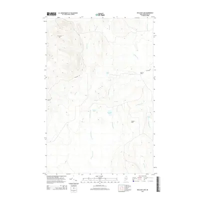
2014 Map of McClusky Lake
USGS Topo · Published 2014About this map
McClusky Lake and the prominent heights of Pennington Mtn define this section of Aroostook County, Maine. This 2014 survey documents a landscape of dense water networks and high ridges, where McClusky Brook and Goddard Brook drain the interior. The presence of Old Chain Bridge and naming of Joe Dubay Brook suggest the deep-rooted logging and sporting history of these North Woods. Transport is limited to rugged routes like Pennington Rd and Chain Bridge Rd, which cut through the timberland toward Silver Lake and Lost Pond. The map serves as a primary record of the complex hydrography between Goddard Ridge and the various branches of Beaver Brook, showing the land as it remained before modern development altered these remote drainages.
Find a feature on this map
19 named features on this map. Tap any name to fly to it.
Don’t see what you’re looking for? This feature index may not catch every label — zoom into the map to look around manually.
Map Details
Editions of this 2014 McClusky Lake Map
This is the sole edition of this map. No revisions or reprints were ever made.
Other maps of this area

1927 · Square Lake
USGS Topo · 1:48,000

1928 · Eagle Lake
USGS Topo · 1:48,000

1928 · Winterville
USGS Topo · 1:48,000

1929 · Portage
USGS Topo · 1:62,500

1931 · Square Lake
USGS Topo · 1:62,500

1931 · Eagle Lake
USGS Topo · 1:62,500

1931 · Portage
USGS Topo · 1:62,500

1931 · Winterville
USGS Topo · 1:62,500

1953 · Square Lake
USGS Topo · 1:62,500

1953 · Portage
USGS Topo · 1:62,500