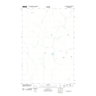
2011 Map of McClusky Lake
USGS Topo · Published 2011About this map
McClusky Lake sits at the heart of this Maine wilderness landscape, surrounded by a dense network of watercourses and topographical landmarks that define the interior of Aroostook County. The area is characterized by its remote logging and sporting heritage, as evidenced by the presence of Sands Camp and the Three Brooks Fire Tower. The hydrological system is particularly complex, with Goddard Brook winding through the terrain towards the Old Chain Bridge in the northeast, while the West Branch Beaver Brook drains the southern reaches of the quadrangle.
Find a feature on this map
17 named features on this map. Tap any name to fly to it.
Don’t see what you’re looking for? This feature index may not catch every label — zoom into the map to look around manually.
Map Details
Editions of this 2011 McClusky Lake Map
This is the sole edition of this map. No revisions or reprints were ever made.
Other maps of this area

1927 · Square Lake
USGS Topo · 1:48,000

1928 · Eagle Lake
USGS Topo · 1:48,000

1928 · Winterville
USGS Topo · 1:48,000

1929 · Portage
USGS Topo · 1:62,500

1931 · Square Lake
USGS Topo · 1:62,500

1931 · Eagle Lake
USGS Topo · 1:62,500

1931 · Portage
USGS Topo · 1:62,500

1931 · Winterville
USGS Topo · 1:62,500

1953 · Square Lake
USGS Topo · 1:62,500

1953 · Portage
USGS Topo · 1:62,500