Old Maps of T17 R14 WELS, Maine for Genealogy
Trace your family roots with 30 historic maps of T17 R14 WELS. These high-res maps reveal old neighborhoods, homesites, landmarks, and streets — helping you uncover where your ancestors lived and how the area evolved over time.
- Explore historic neighborhoods: Identify where your relatives may have lived in the 1800s or 1900s.
- Compare maps over time: Trace the changes in streets, buildings, and landmarks for multi-generational research.
- Perfect for genealogy & ancestry research: Used by family historians and researchers to map out lineage and migration.
These maps are an incredible resource for exploring your personal connection to T17 R14 WELS's past.
T17 R14 WELS, ME maps
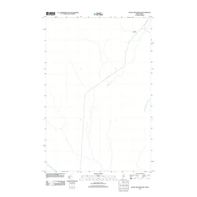
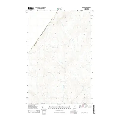
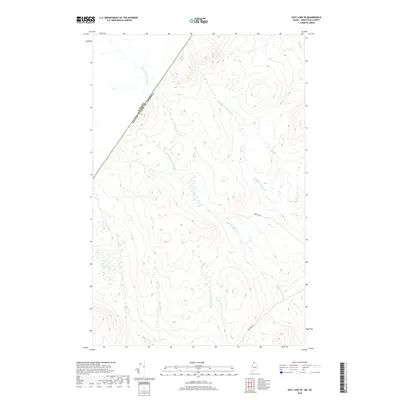
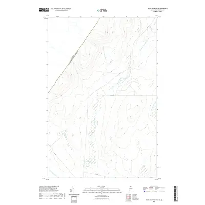
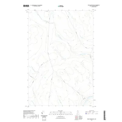
(30)- 1955 Map of Rocky Mountain
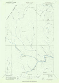 1955 Rocky Mountain1955 Print · USGSThe Aroostook County wilderness in the mid-1950s is defined here by the winding St John River and the international boundary with Canada. Researchers can locate logging outposts like Campbell Depot Camp and riverside landmarks such as Schoolhouse Rapids and Ouellette Farm.3 unique versions available
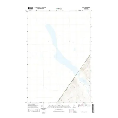
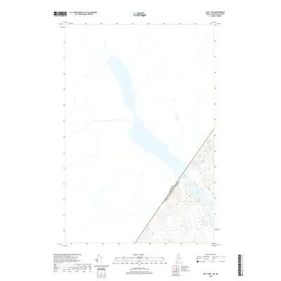
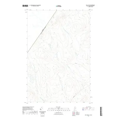
 - 1955 Map of Little East Lake
 1955 Little East Lake1955 Print · USGSUpper Aroostook County’s wilderness is mapped here during the mid-fifties, showing the rugged timberlands along the Quebec border. Researchers can trace the isolated drainage of Little East Lake and the logging routes following Pocwock Stream and Fivemile Brook.3 unique versions available
 - 1962 Map of Edmundston, 1966 Print
 1962 Edmundston1966 Print · USGSThe international borderlands of northern Maine and Canada come alive here during the early sixties, centered on the river-and-rail economies of the day. Genealogists and historians can trace the paths of the Bangor and Aroostook railroad through river towns like Fort Kent and St Agatha.2 unique versions available
 - 1976 Map of East Lake, 1983 Print
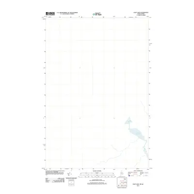
 1976 East Lake1983 Print · USGSCovers T17 R14 WELS, including Picard, T18 R13 WELS, and other nearby areas
 - 1976 Map of East Lake SE, 1983 Print
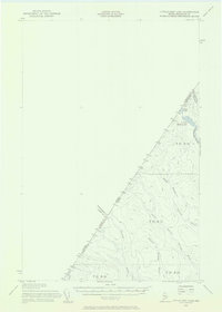
 1976 East Lake SE1983 Print · USGSAroostook County's remote timberlands are captured in detail during the mid-seventies, showing the vast network of forestry roads and natural waterways. Researchers can trace the path of the Branch through the dense forest canopy and study the patterns of land use in this borderland wilderness.2 unique versions available
 - 1987 Map of Rocky Mountain SW
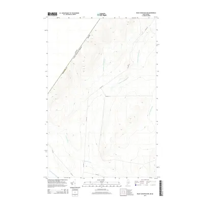
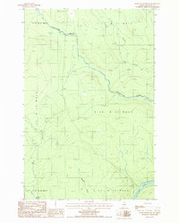 1987 Rocky Mountain SW1987 Print · USGSNorthern Maine's timberlands are documented here in the late eighties, showing a landscape of remote townships and logging trails. Researchers can trace the St John River through the Rapids or locate a Campsite along Chimenticook Stream.
 - 1987 Map of East Lake SE
 1987 East Lake SE1987 Print · USGSThe Maine-Quebec borderlands in the late eighties are captured here as a remote timberland and survey zone. Researchers can trace the international line through INTL MON 221 and follow the secluded waters of North Branch Twomile Brook.
 - 1987 Map of Rocky Mtn NW
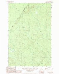
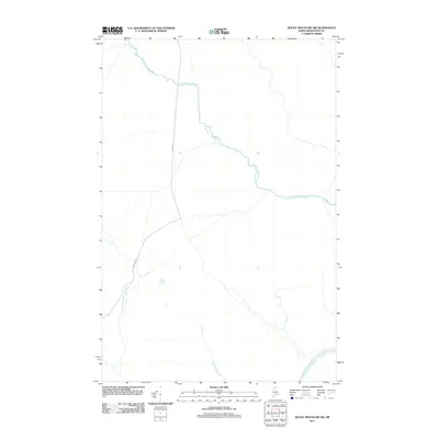
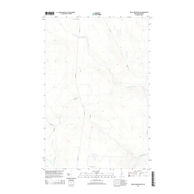
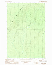 1987 Rocky Mtn NW1987 Print · USGSThe Maine and Quebec borderlands come into focus in the late 1980s, documenting a remote timber-producing region of Aroostook County. Researchers can trace the flow of the Pocwock Stream, locate the Gravel Pits, and find landmarks like Campbell.
 - 1987 Map of East Lake
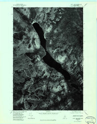
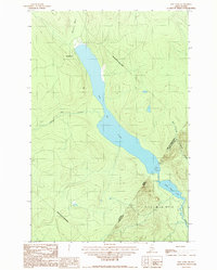 1987 East Lake1987 Print · USGSThe Maine-Quebec borderlands come into focus in the late eighties, documenting the wild watershed where the northern woods meet the international line. Researchers can trace the flow of Chimenticook Stream and locate the boundary markers between Lac de l'Est and East Lake.
 - 1993 Map of Allagash, 1994 Print
 1993 Allagash1994 Print · USGSThe Maine-Quebec borderlands in the early nineties show a landscape of deep timber and international riverways. Researchers can trace the remote settlements of Allagash and Dickey or locate historic river features like Castonia Rapids and Beau Lake.
 - 2011 Map of Rocky Mountain NW, 2011 Print
 2011 Rocky Mountain NW2011 Print · USGSCovers T17 R14 WELS, including T18 R13 WELS, Picard, and other nearby areas
 - 2011 Map of East Lake, 2011 Print
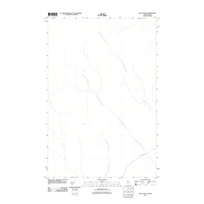
 2011 East Lake2011 Print · USGSCovers T17 R14 WELS, including T18 R13 WELS, Mont-Carmel, and other nearby areas
 - 2011 Map of Rocky Mountain SW, 2011 Print
 2011 Rocky Mountain SW2011 Print · USGSCovers T17 R14 WELS, including T16 R13 WELS, T15 R13 WELS, and other nearby areas
 - 2011 Map of East Lake SE, 2011 Print
 2011 East Lake SE2011 Print · USGSCovers T17 R14 WELS, including Mont-Carmel, Petit-Lac-Sainte-Anne, and other nearby areas
 - 2014 Map of East Lake SE, 2014 Print
 2014 East Lake SE2014 Print · USGSCovers T17 R14 WELS, including Mont-Carmel, Petit-Lac-Sainte-Anne, and other nearby areas
 - 2014 Map of Rocky Mountain SW, 2014 Print
 2014 Rocky Mountain SW2014 Print · USGSCovers T17 R14 WELS, including T16 R13 WELS, T15 R13 WELS, and other nearby areas
 - 2014 Map of Rocky Mountain NW, 2014 Print
 2014 Rocky Mountain NW2014 Print · USGSCovers T17 R14 WELS, including T18 R13 WELS, Picard, and other nearby areas
 - 2014 Map of East Lake, 2014 Print
 2014 East Lake2014 Print · USGSCovers T17 R14 WELS, including T18 R13 WELS, Mont-Carmel, and other nearby areas
 - 2018 Map of East Lake SE, 2018 Print
 2018 East Lake SE2018 Print · USGSCovers T17 R14 WELS, including Mont-Carmel, Petit-Lac-Sainte-Anne, and other nearby areas
 - 2018 Map of Rocky Mountain SW, 2018 Print
 2018 Rocky Mountain SW2018 Print · USGSCovers T17 R14 WELS, including T16 R13 WELS, T15 R13 WELS, and other nearby areas
 - 2018 Map of Rocky Mountain NW, 2018 Print
 2018 Rocky Mountain NW2018 Print · USGSCovers T17 R14 WELS, including T18 R13 WELS, Picard, and other nearby areas
 - 2018 Map of East Lake, 2018 Print
 2018 East Lake2018 Print · USGSCovers T17 R14 WELS, including T18 R13 WELS, Mont-Carmel, and other nearby areas
 - 2021 Map of Rocky Mountain NW, 2021 Print
 2021 Rocky Mountain NW2021 Print · USGSCovers T17 R14 WELS, including T18 R13 WELS, Picard, and other nearby areas
 - 2021 Map of East Lake SE, 2021 Print
 2021 East Lake SE2021 Print · USGSCovers T17 R14 WELS, including Mont-Carmel, Petit-Lac-Sainte-Anne, and other nearby areas
 - 2021 Map of Rocky Mountain SW, 2021 Print
 2021 Rocky Mountain SW2021 Print · USGSCovers T17 R14 WELS, including T16 R13 WELS, T15 R13 WELS, and other nearby areas
Showing maps 1-25 of 30
Frequently asked questions
- What are the different types of historical maps available for T17 R14 WELS?
- What is the oldest map of T17 R14 WELS?
- Where can I purchase historical maps of T17 R14 WELS for my home or office?
- Where can I download high-res historical maps of T17 R14 WELS?
- Are there historical topographic maps available for T17 R14 WELS?
- Is there historical aerial imagery available for T17 R14 WELS?
- Where are historical maps of T17 R14 WELS sourced from?