Old Maps of Gorham Gore, Maine for Genealogy
Trace your family roots with 29 historic maps of Gorham Gore. These high-res maps reveal old neighborhoods, homesites, landmarks, and streets — helping you uncover where your ancestors lived and how the area evolved over time.
- Explore historic neighborhoods: Identify where your relatives may have lived in the 1800s or 1900s.
- Compare maps over time: Trace the changes in streets, buildings, and landmarks for multi-generational research.
- Perfect for genealogy & ancestry research: Used by family historians and researchers to map out lineage and migration.
These maps are an incredible resource for exploring your personal connection to Gorham Gore's past.
Gorham Gore, ME maps
(29)- 1928 Map of Skinner
 1928 Skinner1928 Print · USGSThe northern Maine woods meet the Canadian border in the late 1920s, dominated by the Canadian Pacific Railway and the Moose River headwaters. Trace the rail-side outposts of Skinner and Summit Camps or the remote waters of Beattie Pond.4 unique versions available
 - 1931 Map of Skinner
 1931 Skinner1931 Print · USGSThe Maine-Quebec borderlands in the late 1920s reveal a landscape of remote rail outposts and logging woods. Trace the path of the Canadian Pacific through Lowelltown, find Hogans Camp, and explore the headwaters of the Moose River.3 unique versions available
 - 1949 Map of Jackman
 1949 Jackman1949 Print · USGSThe Quebec and Maine borderlands are shown in great detail during the late 1940s, highlighting the industrial and natural geography of the region. Trace old rail lines like the Canadian Pacific and locate settlements from Sherbrooke to Scotstown.2 unique versions available
 - 1963 Map of Jackman
 1963 Jackman1963 Print · USGSThe international borderlands of Maine and Quebec come alive in the mid-twentieth century, showing a landscape of timber towns and rail connections. Genealogists and historians can trace the paths of the Canadian Pacific Railway through Jackman or locate families in Sherbrooke and Megantic.
 - 1966 Map of Sherbrooke
 1966 Sherbrooke1966 Print · USGSThe borderlands of Quebec and Maine come alive in the mid-1960s, documenting the industrial towns and deep woods of the Northeast. Genealogists can trace family lines through Sherbrooke and Coaticook, or locate remote logging outposts along the Moose River and Flagstaff Lake.
 - 1970 Map of Skinner, 1973 Print
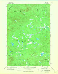 1970 Skinner1973 Print · USGSThe international border and the high timberlands of Franklin County are captured here in the early 1970s. Researchers can trace the Canadian Pacific rail line as it passes the remote outposts of Skinner and Keough along the Moose River.2 unique versions available
 - 1970 Map of Skinner NE, 1973 Print
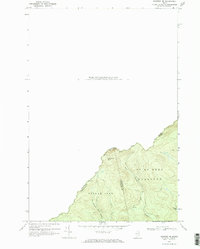 1970 Skinner NE1973 Print · USGSThe international boundary between Maine and Quebec is documented in detail here during the early 1970s. Researchers can trace the remote drainage of the West Branch Gulf Stream and locate wilderness landmarks like Sixtynine Mtn and Turner Pond.2 unique versions available
 - 1970 Map of Boundary Pond, 1973 Print
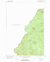 1970 Boundary Pond1973 Print · USGSThe Maine-Quebec borderlands in the early 1970s appear as a wild network of mountain peaks and isolated camps. Genealogists and historians can trace the remote settlement at Lowelltown or locate seasonal sites like the Dome Mtn Camps near Boundary Pond.
 - 1976 Map of Sherbrooke
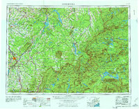 1976 Sherbrooke1976 Print · USGSThe northern Maine woods and Quebec’s Eastern Townships meet in this mid-century survey of the rugged international borderlands. Genealogists and historians can trace rail-and-river connections through Thetford Mines, follow the Dead River to Flagstaff Lake, or locate small border crossings at Stanhope and Beecher Falls.2 unique versions available
 - 1977 Map of Boundary Pond, 1983 Print
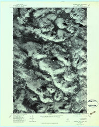 1977 Boundary Pond1983 Print · USGSThe Maine-Quebec border in the late seventies is shown in photographic detail, emphasizing the timberlands and remote outposts of Franklin County. Trace the forest roads and waterways through Lowelltown and past landmarks like Boundary Pond and Keenes.
 - 1977 Map of Skinner, 1983 Print
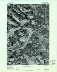 1977 Skinner1983 Print · USGSThe Maine-Quebec borderlands in the late seventies are captured in this aerial survey of a working timber landscape. Genealogists and researchers can pinpoint the isolated outposts at Skinner and Keough along the winding path of the Moose River.
 - 1978 Map of Skinner NE, 1983 Print
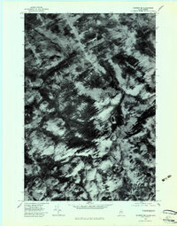 1978 Skinner NE1983 Print · USGSThe Maine-Quebec borderlands appear in striking photographic detail in the late seventies, showing a landscape defined by timber and hydrology. Researchers can trace the drainage of the Riviere Du Loup and identify landmarks like Sixtynine Mountain and Etang Du Loup.
 - 1986 Map of Megantic
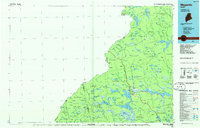 1986 Megantic1986 Print · USGSSettlement and industry along the international border define this mid-1980s survey of the Maine north woods. Genealogists and historians can trace the Canadian Pacific rail line through Jackman Station, Lowelltown, and the Jackman Mill.
 - 1994 Map of Megantic
 1994 Megantic1994 Print · USGSUpper Somerset County during the early 1990s shows a landscape of remote timber outposts and the Canadian Pacific railroad. Genealogists and historians can trace the corridor through Jackman and Dennistown or locate old rail points like Skinner and Lowelltown.
 - 2011 Map of Skinner, 2011 Print
 2011 Skinner2011 Print · USGSNorthwestern Maine’s timberlands and river valleys are documented here at the start of the 2010s. Researchers can trace the remote outposts of Skinner and Keough or locate named water bodies like Ogim Pond and Twin Island Pond nestled near Caswell Mountain.
 - 2011 Map of Boundary Pond, 2011 Print
 2011 Boundary Pond2011 Print · USGSThe Maine-Quebec border region comes into focus during the early twenty-first century, showing a landscape of remote watersheds and isolated outposts. Trace the paths of Moose River and Mill Brook or locate high-country landmarks like Dome Mountain Camps and Lowelltown.
 - 2011 Map of Skinner NE, 2011 Print
 2011 Skinner NE2011 Print · USGSThe Maine and Quebec borderlands are captured here in the early twenty-first century, showing a landscape defined by natural waterways rather than human settlement. You can trace the rugged drainages of the East Branch Gulf Stream and the West Branch Gulf Stream as they flow around Sixtynine Mountain.
 - 2014 Map of Skinner, 2014 Print
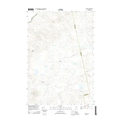 2014 Skinner2014 Print · USGSThe North Maine Woods along the Canadian border appear in this modern survey of Somerset County's wilderness. You can trace remote logging routes like Skinner Rd and locate isolated water bodies such as Sipun Pond and Twin Island Pond.
 - 2014 Map of Boundary Pond, 2014 Print
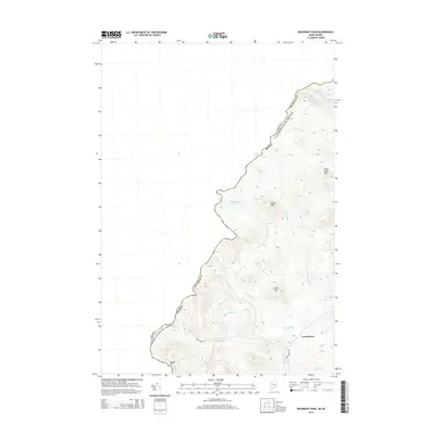 2014 Boundary Pond2014 Print · USGSThe Maine-Quebec borderlands come into focus in the early 2010s, showing a landscape defined by timberlands and remote waterways. Researchers can trace the settlement of Lowelltown and follow the path of Lowelltown Rd as it winds past Moose River and Boundary Pond.
 - 2014 Map of Skinner NE, 2014 Print
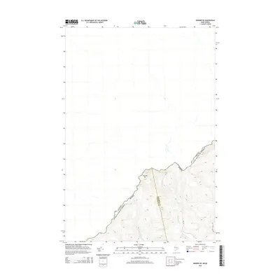 2014 Skinner NE2014 Print · USGSThe northern Maine borderlands are captured here in the early twenty-first century, showing the remote intersection of the Canadian frontier. Researchers can trace the high-elevation drainage of the W Br Gulf Stream and locate the summit of Sixtynine Mtn near the international boundary.
 - 2018 Map of Skinner, 2018 Print
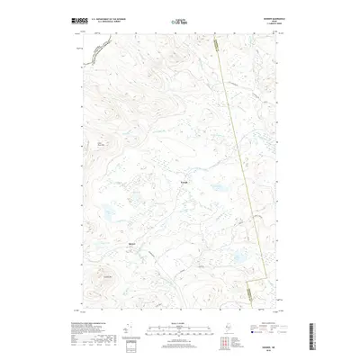 2018 Skinner2018 Print · USGSThe Maine borderlands near Holeb Township were defined by the timber and water of the Moose River at the time of this 2018 survey. Genealogists and historians can trace remote outposts like Skinner and Keough or map the highland reaches of Clear Pond Mtn.
 - 2018 Map of Skinner NE, 2018 Print
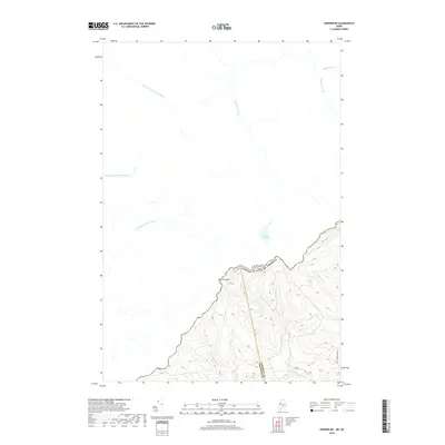 2018 Skinner NE2018 Print · USGSThe international border at the northern edge of Maine meets the Quebec wilderness in this recent survey. Researchers can trace the rugged headwaters of the Rivière du Loup and locate landmarks like Sixtynine Mtn and Étang du Loup.
 - 2018 Map of Boundary Pond, 2018 Print
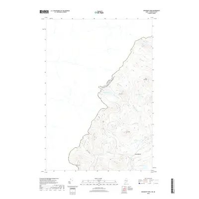 2018 Boundary Pond2018 Print · USGSFranklin County's remote borderlands are captured here in the late twenty-teens, showing where international boundaries meet the headwaters of the Moose River. Trace the old settlement at Lowelltown and the forestry routes leading to Boundary Pond and Dome Mtn.
 - 2021 Map of Boundary Pond, 2021 Print
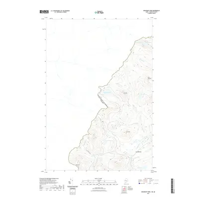 2021 Boundary Pond2021 Print · USGSIn the remote woods of Franklin County during the early twenty-first century, the international border traces the ridgelines above the Moose River headwaters. Researchers can locate the settlement of Lowelltown and map the logging roads near Beattie Pond and Dome Mtn.
 - 2021 Map of Skinner, 2021 Print
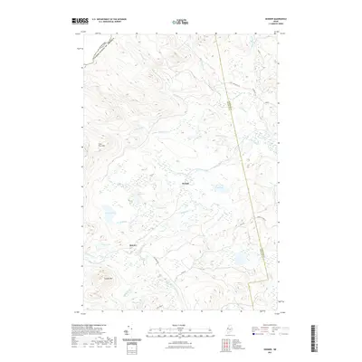 2021 Skinner2021 Print · USGSThe Maine-Canada borderlands in the early twenty-first century remain a landscape defined by water and wood. Genealogists and researchers can trace the isolated outposts of Skinner and Keough along the banks of the Moose River.
Showing maps 1-25 of 29
Top cities near Gorham Gore
Frequently asked questions
- What are the different types of historical maps available for Gorham Gore?
- What is the oldest map of Gorham Gore?
- Where can I purchase historical maps of Gorham Gore for my home or office?
- Where can I download high-res historical maps of Gorham Gore?
- Are there historical topographic maps available for Gorham Gore?
- Is there historical aerial imagery available for Gorham Gore?
- Where are historical maps of Gorham Gore sourced from?