1960s Maps of Kennebec County, Maine
Explore 12 historic maps of Kennebec County from the 1960s. These maps offer a rare glimpse into what life looked like during the 1960s — showing old roads, neighborhoods, homes, and landmarks that have changed or disappeared over time.
Whether you're researching your family's past, planning a metal detecting trip, or studying how Kennebec County's landscape evolved across the 1960s, these high-resolution maps are a powerful tool for exploring the history of this region.
- Focus on a specific era: All maps on this page are from the 1960s, giving you a focused view of this time period.
- See what’s changed: Compare century-old streets, trails, and buildings to today's modern landscape using overlays and satellite layers.
- Research with precision: Use these maps for genealogy, historical research, land use analysis, or educational projects.
- View, download, or print: Maps are fully viewable online in high resolution, and can be downloaded or printed for your own records.
Start exploring Kennebec County's history through authentic maps from the 1960s. This is your window into the past.
Kennebec County, ME maps
(12)- 1960 Map of Bangor
 1960 Bangor1960 Print · USGSCentral Maine in the sixties reveals a landscape of river-powered industry and sprawling coastal island chains. Researchers can trace the rail corridors of the Maine Central or locate mid-century aviation landmarks like Dow Air Force Base.
 - 1961 Map of Bangor
 1961 Bangor1961 Print · USGSMid-century Maine comes alive through its busy river ports and rocky archipelagoes during a period of steady maritime and rail commerce. Researchers can trace the path of the Maine Central railroad and locate coastal landmarks from Acadia National Park to Vinalhaven Island.
 - 1961 Map of Lewiston
 1961 Lewiston1961 Print · USGSWestern Maine and the White Mountains appear here during the early sixties, showing the industrial river towns and vast timberlands before the modern interstate era. Genealogists and historians can trace the Grand Trunk RR through Berlin or locate landmarks like Old Speck Mountain and Elephant Mountain.
 - 1961 Map of Razorville, 1964 Print
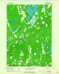 1961 Razorville1964 Print · USGSCoastal Maine's interior comes into focus during the early sixties, showing a landscape of unincorporated gores and rural plantations. Genealogists can trace family names at Hannan Cem and Lenfest Cem or locate the Sandhill Sch near Sandhill Corner.3 unique versions available
 - 1961 Map of Palermo, 1964 Print
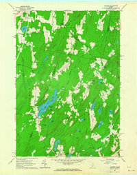 1961 Palermo1964 Print · USGSThe Waldo County interior in the early sixties remains a landscape of rural settlements and glacial waters. Genealogists can locate family landmarks like Sennetts Corner, the Palermo Sch, and the Perkins Cem near the banks of Sheepscot Pond.3 unique versions available
 - 1962 Map of Lewiston
 1962 Lewiston1962 Print · USGSThe industrial river valleys and high peaks of Maine and New Hampshire define the region in the early sixties. Trace the rail-and-river network from Lewiston to the White Mountains, passing through mill towns like Berlin and Rumford.
 - 1966 Map of Wayne, 1968 Print
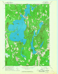 1966 Wayne1968 Print · USGSKennebec County’s lake country is captured in the mid-1960s, showing the vital connection between its waterfront villages and the rail corridor. Researchers can trace the layout of Wayne and North Monmouth, or locate local landmarks like Monmouth Academy and the Lookout Tower atop Mt Pisgah.3 unique versions available
 - 1966 Map of Fayette, 1968 Print
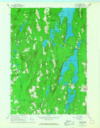 1966 Fayette1968 Print · USGSThe Kennebec County lake country is captured here in the mid-sixties, showing a landscape defined by seasonal camps and traditional crossroads settlements. Genealogists and local historians can locate Kent Cem, the old works at Richmond Mill, and Twelve Corners.2 unique versions available
 - 1967 Map of Turner Center, 1969 Print
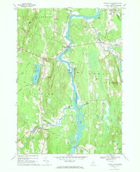 1967 Turner Center1969 Print · USGSThe Androscoggin River valley in the late sixties reveals a network of riverside settlements and rural crossroads. Genealogists and local historians can trace family locations near Maple Grove Cemetery, the Junior High School in Turner Center, or the old landings at Keens Mills.2 unique versions available
 - 1967 Map of Livermore Falls, 1970 Print
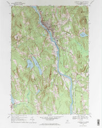 1967 Livermore Falls1970 Print · USGSIn the late sixties, the industrial activity along the Androscoggin River and the Maine Central rail line defined this corner of Maine. Researchers can trace ancestral roots at Lakeside Cem or locate old landmarks like Bowman Field and Chisholm.2 unique versions available
 - 1968 Map of Farmington Falls, 1971 Print
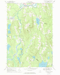 1968 Farmington Falls1971 Print · USGSThe Farmington Falls area in the late sixties reveals a landscape of high hills and interconnected waterways at the Franklin and Kennebec county line. Genealogists can trace local roots through sites like Chesterville Sch, North Vienna Ch, and the many family-named cemeteries like Webster Cem.
 - 1969 Map of Lewiston
 1969 Lewiston1969 Print · USGSThe northern New England highlands come into focus during the mid-fifties, showing the vital rail and river networks connecting industrial centers to the deep woods. Researchers can trace the path of the Grand Trunk RR or locate landmarks like Mt Washington and Rangeley Lake.
End of results
Showing maps 1-12 of 12
Top cities of Kennebec County
- Augusta historical maps
- Waterville historical maps
- Winslow historical maps
- Oakland historical maps
- Winthrop historical maps
- Gardiner historical maps
See more
Frequently asked questions
- What are the different types of historical maps available for Kennebec County?
- What is the oldest map of Kennebec County?
- Where can I purchase historical maps of Kennebec County for my home or office?
- Where can I download high-res historical maps of Kennebec County?
- Are there historical topographic maps available for Kennebec County?
- Is there historical aerial imagery available for Kennebec County?
- Where are historical maps of Kennebec County sourced from?