2020s Maps of Kennebec County, Maine
Explore 62 historic maps of Kennebec County from the 2020s. These maps offer a rare glimpse into what life looked like during the 2020s — showing old roads, neighborhoods, homes, and landmarks that have changed or disappeared over time.
Whether you're researching your family's past, planning a metal detecting trip, or studying how Kennebec County's landscape evolved across the 2020s, these high-resolution maps are a powerful tool for exploring the history of this region.
- Focus on a specific era: All maps on this page are from the 2020s, giving you a focused view of this time period.
- See what’s changed: Compare century-old streets, trails, and buildings to today's modern landscape using overlays and satellite layers.
- Research with precision: Use these maps for genealogy, historical research, land use analysis, or educational projects.
- View, download, or print: Maps are fully viewable online in high resolution, and can be downloaded or printed for your own records.
Start exploring Kennebec County's history through authentic maps from the 2020s. This is your window into the past.
Kennebec County, ME maps
(62)- 2021 Map of Farmington Falls, 2021 Print
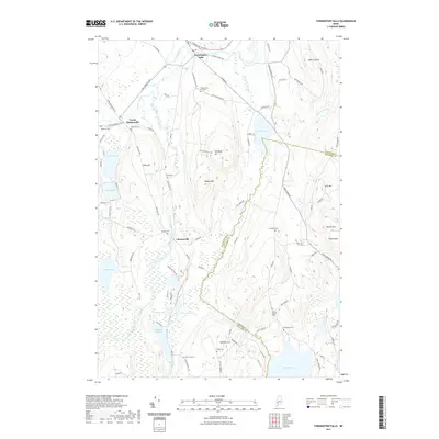 2021 Farmington Falls2021 Print · USGSThe Franklin and Kennebec county lines meet in this wooded Maine landscape during the early twenty-first century. Genealogists and local historians can trace family locations through numerous sites like Chesterville Hill Cem, Lowell Cem, and Farmington Falls.
 - 2021 Map of Lisbon Falls North, 2021 Print
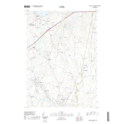 2021 Lisbon Falls North2021 Print · USGSAndroscoggin County at the start of the 2020s shows a landscape of river-side villages and deep-rooted family sites. Genealogists can trace hundreds of names through burial grounds like Lisbon Ridge Cem and landmarks such as Cliffords Airport.
 - 2021 Map of Monmouth, 2021 Print
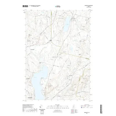 2021 Monmouth2021 Print · USGSMonmouth and the surrounding hills of Androscoggin County are documented here in the early twenty-first century. Genealogists and local historians can trace family locations at Keenes Corner Cem, Sprague Mill, and the shores of Cochnewagon Lake.
 - 2021 Map of Fayette, 2021 Print
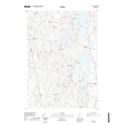 2021 Fayette2021 Print · USGSThe hill country of central Maine is captured here in the early twenty-first century, showing the enduring boundaries of Kennebec and Franklin counties. Genealogists and local historians can locate numerous burial sites like Fellows Cem and Butler Cem near the shores of David Pond and Echo Lake.
 - 2021 Map of Livermore Falls, 2021 Print
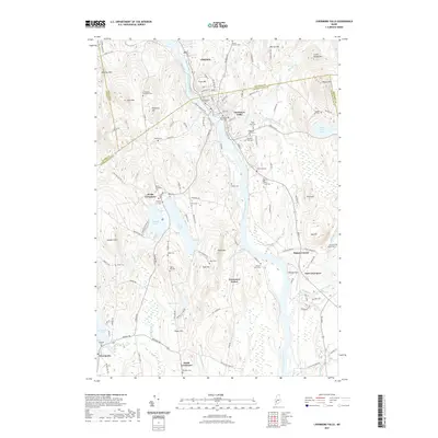 2021 Livermore Falls2021 Print · USGSThe Androscoggin River valley and its surrounding hills come into focus in this recent survey of the Livermore Falls area. Researchers can trace dozens of local burial grounds and landmarks like Treat Memorial Lib, Bowman Field, and the North Livermore Cem.
 - 2021 Map of Turner Center, 2021 Print
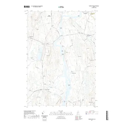 2021 Turner Center2021 Print · USGSMaine's river valleys and rural hamlets are well-documented in this recent survey of the Turner area. Genealogists can trace family roots through numerous burial sites like Quaker Ridge Cem and River Grove Cem near the Androscoggin River.
 - 2021 Map of Wayne, 2021 Print
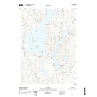 2021 Wayne2021 Print · USGSMaine's lake country near the Kennebec and Androscoggin county line is captured here in detail during the early twenty-first century. Genealogists can locate over a dozen burial grounds like Old Indian Cem and Wayne Village Cem scattered between Androscoggin Lake and Mt Pisgah.
 - 2021 Map of Purgatory, 2021 Print
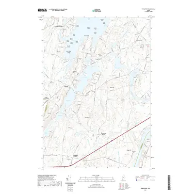 2021 Purgatory2021 Print · USGSThe rural landscapes of Kennebec County are captured here in the early twenty-first century, centered on the historic mills of Purgatory. Researchers can trace dozens of family burial sites like Town Farm Road Cem and Harriman Cem across the hills.
 - 2021 Map of Palermo, 2021 Print
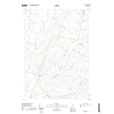 2021 Palermo2021 Print · USGSMaine's mid-coast interior comes into focus during this modern era, showing the rural crossroads of Palermo and North Palermo. Genealogists can trace family heritage at Old Greeley Corner Cem, Dennis Hill Cem, and the Branch Mills Cem along the W Br Sheepscot River.
 - 2021 Map of China Lake, 2021 Print
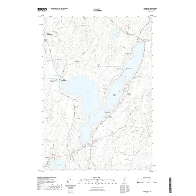 2021 China Lake2021 Print · USGSKennebec County at the start of the 2020s shows a landscape defined by the expansive China Lake and its surrounding villages. Genealogists can trace family legacies through numerous sites like South China Cem, Priest Hill Cem, and Williams Cem.
 - 2021 Map of Albion, 2021 Print
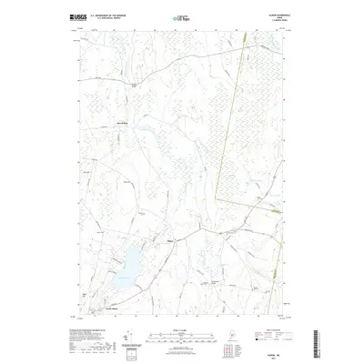 2021 Albion2021 Print · USGSThe rural heart of Kennebec County comes into focus here during the early twenty-first century, showing a landscape defined by ridges and valley streams. Researchers can locate many family burial sites including Maple Grove Cem and trace crossings at Puddledock Bridge.
 - 2021 Map of Razorville, 2021 Print
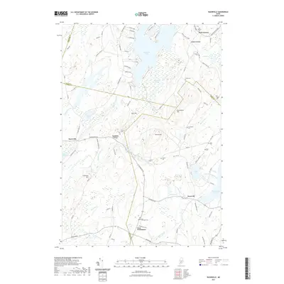 2021 Razorville2021 Print · USGSIn the rural interior of Maine, this recent survey captures a landscape of interconnected ponds and hills where four counties meet. Family historians can locate numerous burial sites and small settlements, such as Hannan Cem, Razorville, and West Washington.
 - 2021 Map of Vassalboro, 2021 Print
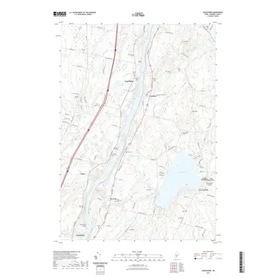 2021 Vassalboro2021 Print · USGSKennebec County comes into focus in this contemporary survey of the river valley settlements north of the state capital. Genealogists and local historians can trace legacy sites like Center Vassalboro Baptist Cem, Smiley Farm Cem, and the small community at Seaward Mills.
 - 2021 Map of Wiscasset, 2021 Print
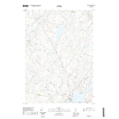 2021 Wiscasset2021 Print · USGSIn this modern survey of coastal Maine, the village of Wiscasset stands at the head of the Sheepscot River estuary. Genealogists can locate over a dozen burial grounds, including the Ancient Cem, Seigars Cem, and the historic Lincoln County Courthouse landmark.
 - 2021 Map of Clinton, 2021 Print
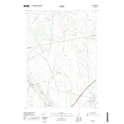 2021 Clinton2021 Print · USGSThe Kennebec River corridor comes into focus in this recent survey of the Kennebec and Somerset county line. Genealogists can trace family heritage across numerous burial sites, including Nobles Ferry Cem, Joy Cem, and the historic Old Village Cem.
 - 2021 Map of Readfield, 2021 Print
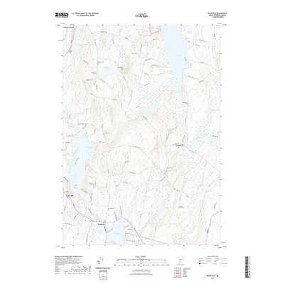 2021 Readfield2021 Print · USGSReadfield and the surrounding Kennebec County lake country are documented here in the early twenty-first century. Local historians can locate numerous family burial grounds like Marston Cem and Stevens Cem or trace the early paths around Torsey Lake.
 - 2021 Map of Belgrade Lakes, 2021 Print
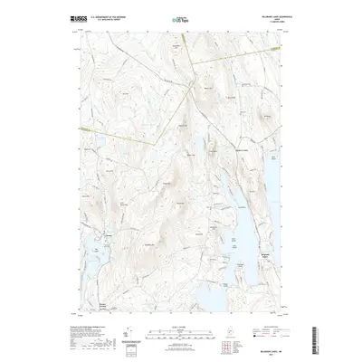 2021 Belgrade Lakes2021 Print · USGSThe Kennebec County lakelands are captured here in the early twenty-first century, showing the established communities of the Belgrade chain. Researchers can trace the layout of Belgrade Lakes and find rural burial sites like Hovey Cem and Trask Cem among the ridges.
 - 2021 Map of Hinckley, 2021 Print
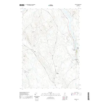 2021 Hinckley2021 Print · USGSFairfield and the Kennebec River valley are shown here in the contemporary era, illustrating the development of this river-centered corridor. Genealogists can trace family names through the Friend Cem and Ellis Cem or locate old settlements like Larone and Pishon Ferry.
 - 2021 Map of Waterville, 2021 Print
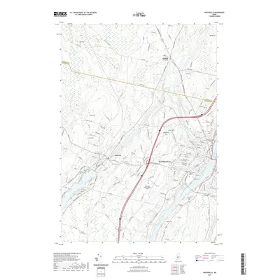 2021 Waterville2021 Print · USGSThe riverfront city of Waterville and its surrounding hill country are captured here in the early twenty-first century. Researchers can locate numerous local landmarks including Colby College, the Waterville Robert Lafleur Airport, and several family burial grounds like Barton Cem and Drummond Cem.
 - 2021 Map of Rome, 2021 Print
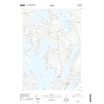 2021 Rome2021 Print · USGSRome and North Belgrade are captured here at the start of the 2020s, showing a landscape defined by the expansive waters of Great Pond and North Pond. Genealogists and local historians can trace family burial sites like Stevens Cem or locate the historic site of North Belgrade Station.
 - 2021 Map of Belgrade, 2021 Print
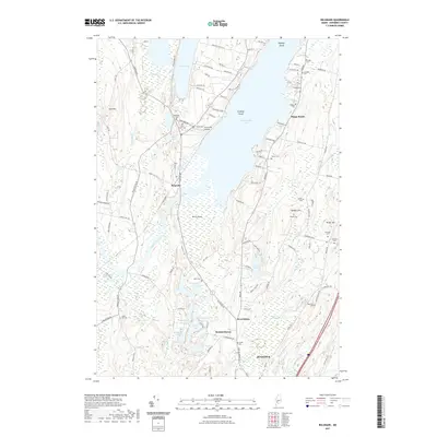 2021 Belgrade2021 Print · USGSKennebec County's lake country is captured here during the early twenty-first century, showing the established communities of Belgrade and Summerhaven. Genealogists can locate numerous family burial sites like Pine Grove Cem and Cottles Cem among the wetlands of Great Sidney Bog.
 - 2021 Map of Burnham, 2021 Print
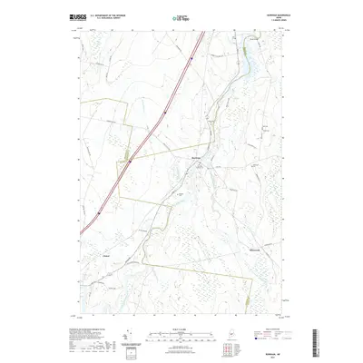 2021 Burnham2021 Print · USGSMaine's interior riverlands are shown here at the meeting point of three counties in the early twenty-first century. Genealogists can locate family burial grounds like Huff Cem and Mount Cem or trace the winding course of the Sebasticook River.
 - 2021 Map of Winthrop, 2021 Print
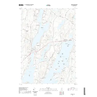 2021 Winthrop2021 Print · USGSWinthrop and the Kennebec County lake district are shown here in recent detail, capturing the area's transition into the twenty-first century. Genealogists and local researchers can locate numerous burial grounds, such as Barber Cem and Maple Cem, alongside historic points like Island Park and Maranacook.
 - 2021 Map of Unity, 2021 Print
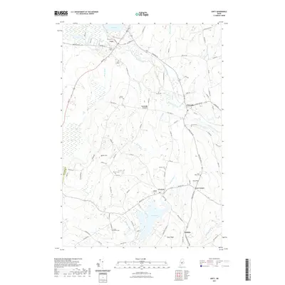 2021 Unity2021 Print · USGSWaldo County at the start of the 2020s is characterized by a mix of educational institutions and rural hamlets. Genealogists can locate numerous burial sites such as Boulter Cem and Saywood Cem while tracing the geography of Unity and Thorndike.
 - 2021 Map of Augusta, 2021 Print
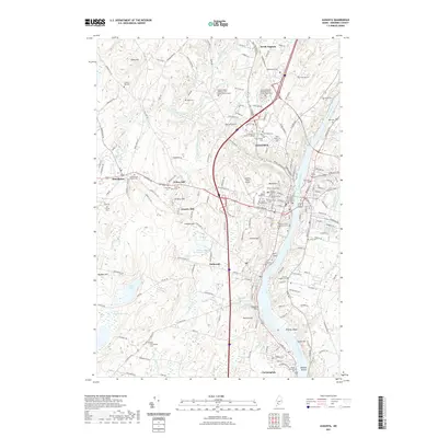 2021 Augusta2021 Print · USGSMaine's capital region and the Kennebec River valley are captured in high detail during this recent era of growth. Researchers can trace dozens of family and veteran cemeteries, including Scribner Hill Cem, Riverside Cem, and the State of Maine Burial Ground.
Showing maps 1-25 of 62
Top cities of Kennebec County
- Augusta historical maps
- Waterville historical maps
- Winslow historical maps
- Oakland historical maps
- Winthrop historical maps
- Gardiner historical maps
See more
Frequently asked questions
- What are the different types of historical maps available for Kennebec County?
- What is the oldest map of Kennebec County?
- Where can I purchase historical maps of Kennebec County for my home or office?
- Where can I download high-res historical maps of Kennebec County?
- Are there historical topographic maps available for Kennebec County?
- Is there historical aerial imagery available for Kennebec County?
- Where are historical maps of Kennebec County sourced from?