2000s (21st Century) Maps of Kennebec County, Maine
Explore 157 historic maps of Kennebec County from the 2000s (21st Century). These maps offer a rare glimpse into what life looked like during the 2000s — showing old roads, neighborhoods, homes, and landmarks that have changed or disappeared over time.
Whether you're researching your family's past, planning a metal detecting trip, or studying how Kennebec County's landscape evolved across the 2000s, these high-resolution maps are a powerful tool for exploring the history of this region.
- Focus on a specific era: All maps on this page are from the 2000s, giving you a focused view of this time period.
- See what’s changed: Compare century-old streets, trails, and buildings to today's modern landscape using overlays and satellite layers.
- Research with precision: Use these maps for genealogy, historical research, land use analysis, or educational projects.
- View, download, or print: Maps are fully viewable online in high resolution, and can be downloaded or printed for your own records.
Start exploring Kennebec County's history through authentic maps from the 2000s. This is your window into the past.
Kennebec County, ME maps
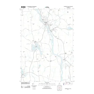
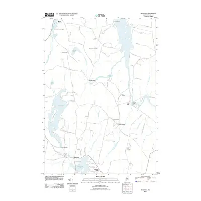
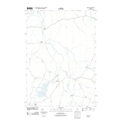
(157)- 2000 Map of Winthrop, 2001 Print
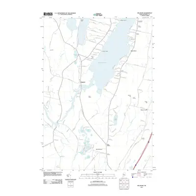
 2000 Winthrop2001 Print · USGSMaine's lake country at the turn of the millennium shows a landscape defined by deep-water ponds and small lakeside villages. Genealogists can locate family burial sites like Whistler Cem and Benson Cem, or trace landmarks at Tallwood and Winthrop Center.
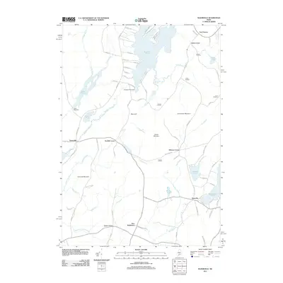
 - 2000 Map of Readfield, 2001 Print
 2000 Readfield2001 Print · USGSReadfield and Kents Hill sit at the heart of this central Maine lake district at the turn of the millennium. Genealogists can locate numerous family burial sites like Philbrick Cem and Marston Cem or trace the early settlement at Wings Mills.
 - 2011 Map of Farmington Falls, 2011 Print
 2011 Farmington Falls2011 Print · USGSCovers Kennebec County, including Farmington, Mount Vernon, and other nearby areas
 - 2011 Map of Turner Center, 2011 Print
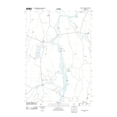 2011 Turner Center2011 Print · USGSCovers Kennebec County, including Turner, Greene, and other nearby areas
 - 2011 Map of Fayette, 2011 Print
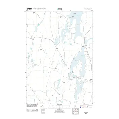 2011 Fayette2011 Print · USGSCovers Kennebec County, including Livermore Falls, Readfield, and other nearby areas
 - 2011 Map of Wayne, 2011 Print
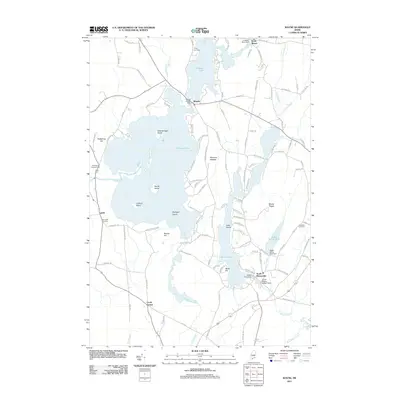 2011 Wayne2011 Print · USGSCovers Kennebec County, including Winthrop, Monmouth, and other nearby areas
 - 2011 Map of Monmouth, 2011 Print
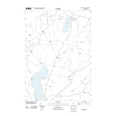 2011 Monmouth2011 Print · USGSCovers Kennebec County, including Lewiston, Sabattus, and other nearby areas
 - 2011 Map of Livermore Falls, 2011 Print
 2011 Livermore Falls2011 Print · USGSCovers Kennebec County, including Jay, Livermore Falls, and other nearby areas
 - 2011 Map of Lisbon Falls North, 2011 Print
 2011 Lisbon Falls North2011 Print · USGSCovers Kennebec County, including Lewiston, Lisbon, and other nearby areas
 - 2011 Map of Hinckley, 2011 Print
 2011 Hinckley2011 Print · USGSCovers Kennebec County, including Fairfield, Skowhegan, and other nearby areas
 - 2011 Map of Gardiner, 2011 Print
 2011 Gardiner2011 Print · USGSCovers Kennebec County, including Gardiner, West Gardiner, and other nearby areas
 - 2011 Map of Readfield, 2011 Print
 2011 Readfield2011 Print · USGSCovers Kennebec County, including Belgrade, Readfield, and other nearby areas
 - 2011 Map of Razorville, 2011 Print
 2011 Razorville2011 Print · USGSCovers Kennebec County, including China, Jefferson, and other nearby areas
 - 2011 Map of Wiscasset, 2011 Print
 2011 Wiscasset2011 Print · USGSCovers Kennebec County, including Wiscasset, Woolwich, and other nearby areas
 - 2011 Map of Purgatory, 2011 Print
 2011 Purgatory2011 Print · USGSCovers Kennebec County, including Monmouth, West Gardiner, and other nearby areas
 - 2011 Map of Belgrade, 2011 Print
 2011 Belgrade2011 Print · USGSCovers Kennebec County, including Augusta, Sidney, and other nearby areas
 - 2011 Map of Winthrop, 2011 Print
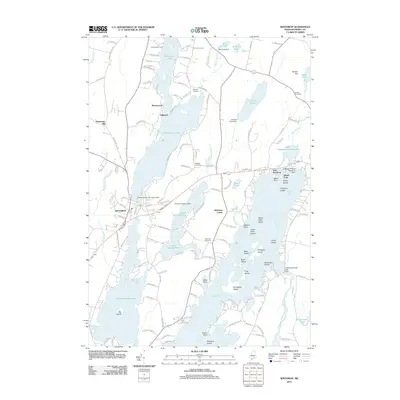 2011 Winthrop2011 Print · USGSCovers Kennebec County, including Winthrop, Monmouth, and other nearby areas
 - 2011 Map of Fairfield, 2011 Print
 2011 Fairfield2011 Print · USGSCovers Kennebec County, including Waterville, Winslow, and other nearby areas
 - 2011 Map of Clinton, 2011 Print
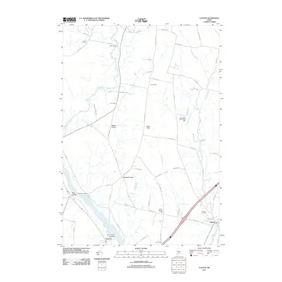 2011 Clinton2011 Print · USGSCovers Kennebec County, including Fairfield, Skowhegan, and other nearby areas
 - 2011 Map of Rome, 2011 Print
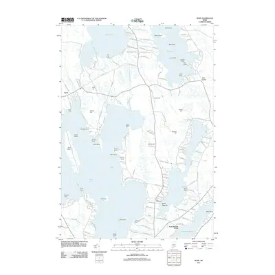 2011 Rome2011 Print · USGSCovers Kennebec County, including Fairfield, Oakland, and other nearby areas
 - 2011 Map of Belgrade Lakes, 2011 Print
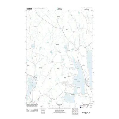 2011 Belgrade Lakes2011 Print · USGSCovers Kennebec County, including Belgrade, Mount Vernon, and other nearby areas
 - 2011 Map of East Pittston, 2011 Print
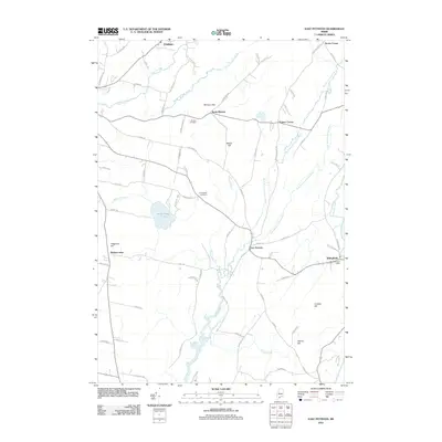 2011 East Pittston2011 Print · USGSCovers Kennebec County, including Pittston, Chelsea, and other nearby areas
 - 2011 Map of China Lake, 2011 Print
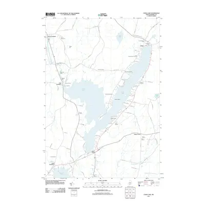 2011 China Lake2011 Print · USGSCovers Kennebec County, including Winslow, Vassalboro, and other nearby areas
 - 2011 Map of Albion, 2011 Print
 2011 Albion2011 Print · USGSCovers Kennebec County, including Winslow, Clinton, and other nearby areas
 - 2011 Map of Augusta, 2011 Print
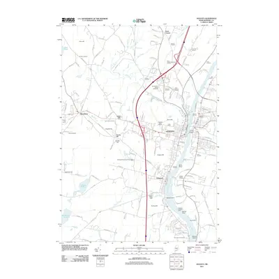 2011 Augusta2011 Print · USGSCovers Kennebec County, including Augusta, West Gardiner, and other nearby areas
Showing maps 1-25 of 157
Top cities of Kennebec County
- Augusta historical maps
- Waterville historical maps
- Winslow historical maps
- Oakland historical maps
- Winthrop historical maps
- Gardiner historical maps
See more
Frequently asked questions
- What are the different types of historical maps available for Kennebec County?
- What is the oldest map of Kennebec County?
- Where can I purchase historical maps of Kennebec County for my home or office?
- Where can I download high-res historical maps of Kennebec County?
- Are there historical topographic maps available for Kennebec County?
- Is there historical aerial imagery available for Kennebec County?
- Where are historical maps of Kennebec County sourced from?