2020s Maps of Wayne, Maine
Explore 6 historic maps of Wayne from the 2020s. These maps offer a rare glimpse into what life looked like during the 2020s — showing old roads, neighborhoods, homes, and landmarks that have changed or disappeared over time.
Whether you're researching your family's past, planning a metal detecting trip, or studying how Wayne's landscape evolved across the 2020s, these high-resolution maps are a powerful tool for exploring the history of this region.
- Focus on a specific era: All maps on this page are from the 2020s, giving you a focused view of this time period.
- See what’s changed: Compare century-old streets, trails, and buildings to today's modern landscape using overlays and satellite layers.
- Research with precision: Use these maps for genealogy, historical research, land use analysis, or educational projects.
- View, download, or print: Maps are fully viewable online in high resolution, and can be downloaded or printed for your own records.
Start exploring Wayne's history through authentic maps from the 2020s. This is your window into the past.
Wayne, ME maps
(6)- 2021 Map of Fayette, 2021 Print
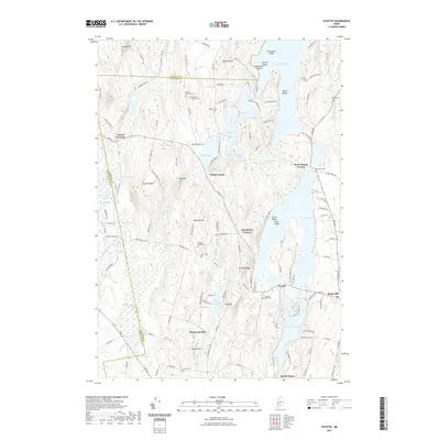 2021 Fayette2021 Print · USGSCovers Wayne, including Livermore Falls, Readfield, and other nearby areas
 - 2021 Map of Turner Center, 2021 Print
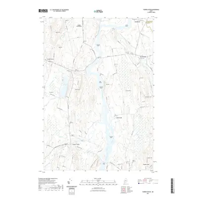 2021 Turner Center2021 Print · USGSCovers Wayne, including Turner, Greene, and other nearby areas
 - 2021 Map of Wayne, 2021 Print
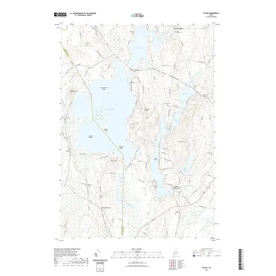 2021 Wayne2021 Print · USGSCovers Wayne, including Winthrop, Monmouth, and other nearby areas
 - 2024 Map of Wayne, 2024 Print
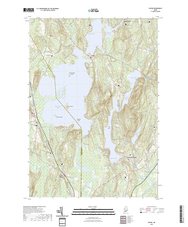 2024 Wayne2024 Print · USGSKennebec County lake country is beautifully detailed in the 2020s, showing the intricate shoreline of Androscoggin Lake and its islands. Genealogists can locate over a dozen burial grounds like Wayne Village Cem, Beech Hill Cem, and Old Indian Cem.
 - 2024 Map of Turner Center, 2024 Print
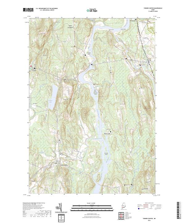 2024 Turner Center2024 Print · USGSThe river valleys of central Maine come alive in this survey, showing the interconnected hamlets of Turner Center, Stricklands, and South Leeds. Genealogists and historians can trace family plots at Quaker Ridge Cem and follow the old path of Merrills Mill Rd.
 - 2024 Map of Fayette, 2024 Print
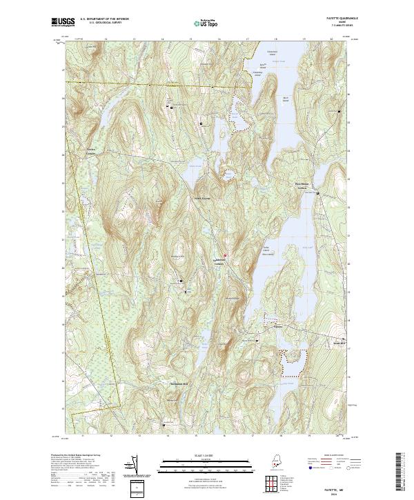 2024 Fayette2024 Print · USGSKennebec County’s lake country is captured here in the early twenty-first century, showing a network of historic settlements and family farmsteads. Trace local roots through the numerous burial grounds like Fellows Cem, Kent Cem, and Fayette Mills Cem.
End of results
Showing maps 1-6 of 6
Top cities near Wayne
- Lewiston historical maps
- Auburn historical maps
- Winthrop historical maps
- Gardiner historical maps
- Turner historical maps
- Sabattus historical maps
See more
Top neighborhoods of Wayne
Frequently asked questions
- What are the different types of historical maps available for Wayne?
- What is the oldest map of Wayne?
- Where can I purchase historical maps of Wayne for my home or office?
- Where can I download high-res historical maps of Wayne?
- Are there historical topographic maps available for Wayne?
- Is there historical aerial imagery available for Wayne?
- Where are historical maps of Wayne sourced from?