2000s (21st Century) Maps of Isle au Haut, Maine
Explore 25 historic maps of Isle au Haut from the 2000s (21st Century). These maps offer a rare glimpse into what life looked like during the 2000s — showing old roads, neighborhoods, homes, and landmarks that have changed or disappeared over time.
Whether you're researching your family's past, planning a metal detecting trip, or studying how Isle au Haut's landscape evolved across the 2000s, these high-resolution maps are a powerful tool for exploring the history of this region.
- Focus on a specific era: All maps on this page are from the 2000s, giving you a focused view of this time period.
- See what’s changed: Compare century-old streets, trails, and buildings to today's modern landscape using overlays and satellite layers.
- Research with precision: Use these maps for genealogy, historical research, land use analysis, or educational projects.
- View, download, or print: Maps are fully viewable online in high resolution, and can be downloaded or printed for your own records.
Start exploring Isle au Haut's history through authentic maps from the 2000s. This is your window into the past.
Isle au Haut, ME maps
(25)- 2011 Map of Matinicus OE NE, 2011 Print
 2011 Matinicus OE NE2011 Print · USGSCovers Isle au Haut, including Vinalhaven, Knox County, and other nearby areas
 - 2011 Map of Stinson Neck, 2011 Print
 2011 Stinson Neck2011 Print · USGSCovers Isle au Haut, including Deer Isle, Stonington, and other nearby areas
 - 2011 Map of Johns Island, 2011 Print
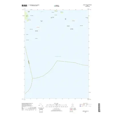
 2011 Johns Island2011 Print · USGSCovers Isle au Haut, including Swan's Island, Frenchboro, and other nearby areas
 - 2011 Map of Isle Au Haut West, 2011 Print
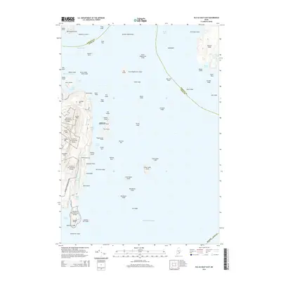
 2011 Isle Au Haut West2011 Print · USGSCovers Isle au Haut, including Vinalhaven, Stonington, and other nearby areas
 - 2011 Map of Isle Au Haut East, 2011 Print
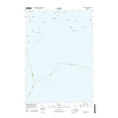
 2011 Isle Au Haut East2011 Print · USGSCovers Isle au Haut, including Stonington, Swan's Island, and other nearby areas
 - 2014 Map of Stinson Neck, 2014 Print
 2014 Stinson Neck2014 Print · USGSCovers Isle au Haut, including Deer Isle, Stonington, and other nearby areas
 - 2014 Map of Isle Au Haut West, 2014 Print
 2014 Isle Au Haut West2014 Print · USGSCovers Isle au Haut, including Vinalhaven, Stonington, and other nearby areas
 - 2014 Map of Matinicus OE NE, 2014 Print
 2014 Matinicus OE NE2014 Print · USGSCovers Isle au Haut, including Vinalhaven, Knox County, and other nearby areas
 - 2014 Map of Johns Island, 2014 Print
 2014 Johns Island2014 Print · USGSCovers Isle au Haut, including Swan's Island, Frenchboro, and other nearby areas
 - 2014 Map of Isle Au Haut East, 2014 Print
 2014 Isle Au Haut East2014 Print · USGSCovers Isle au Haut, including Stonington, Swan's Island, and other nearby areas
 - 2018 Map of Isle Au Haut West, 2018 Print
 2018 Isle Au Haut West2018 Print · USGSCovers Isle au Haut, including Vinalhaven, Stonington, and other nearby areas
 - 2018 Map of Johns Island, 2018 Print
 2018 Johns Island2018 Print · USGSCovers Isle au Haut, including Swan's Island, Frenchboro, and other nearby areas
 - 2018 Map of Matinicus OE NE, 2018 Print
 2018 Matinicus OE NE2018 Print · USGSCovers Isle au Haut, including Vinalhaven, Knox County, and other nearby areas
 - 2018 Map of Isle Au Haut East, 2018 Print
 2018 Isle Au Haut East2018 Print · USGSCovers Isle au Haut, including Stonington, Swan's Island, and other nearby areas
 - 2018 Map of Stinson Neck, 2018 Print
 2018 Stinson Neck2018 Print · USGSCovers Isle au Haut, including Deer Isle, Stonington, and other nearby areas
 - 2021 Map of Matinicus OE NE, 2021 Print
 2021 Matinicus OE NE2021 Print · USGSCovers Isle au Haut, including Vinalhaven, Knox County, and other nearby areas
 - 2021 Map of Johns Island, 2021 Print
 2021 Johns Island2021 Print · USGSCovers Isle au Haut, including Swan's Island, Frenchboro, and other nearby areas
 - 2021 Map of Stinson Neck, 2021 Print
 2021 Stinson Neck2021 Print · USGSCovers Isle au Haut, including Deer Isle, Stonington, and other nearby areas
 - 2021 Map of Isle Au Haut West, 2021 Print
 2021 Isle Au Haut West2021 Print · USGSCovers Isle au Haut, including Vinalhaven, Stonington, and other nearby areas
 - 2021 Map of Isle Au Haut East, 2021 Print
 2021 Isle Au Haut East2021 Print · USGSCovers Isle au Haut, including Stonington, Swan's Island, and other nearby areas
 - 2024 Map of Johns Island, 2024 Print
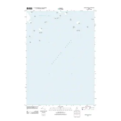
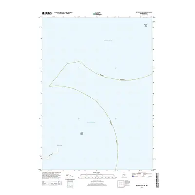
 2024 Johns Island2024 Print · USGSThe outer islands of Hancock County are documented here in the early twenty-first century, showing a maritime landscape preserved by federal conservation. Researchers can trace the protected boundaries of Acadia National Park and find named landmarks like Devils Head and Sally Prude Ledge.
 - 2024 Map of Matinicus OE NE, 2024 Print
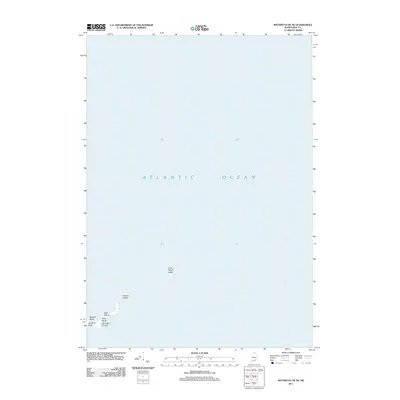
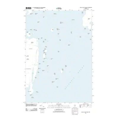
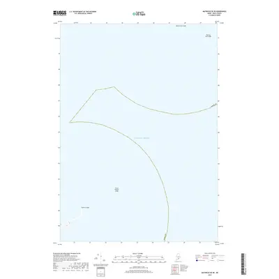
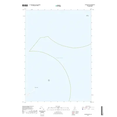
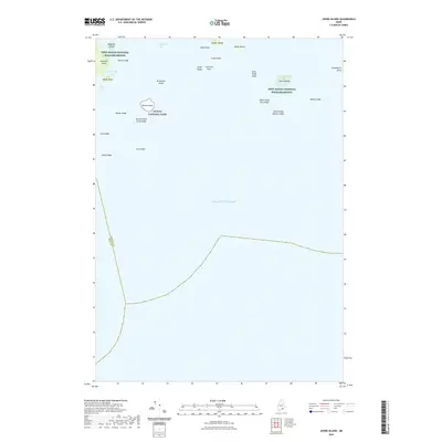
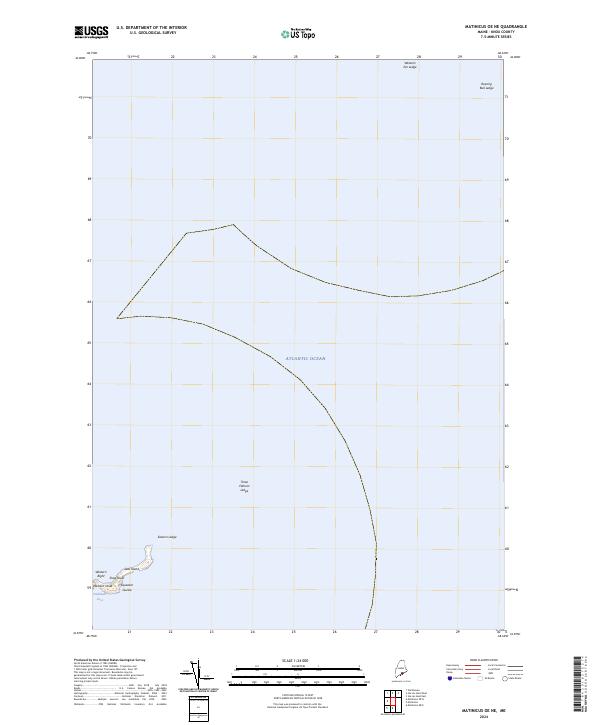 2024 Matinicus OE NE2024 Print · USGSThe Knox County coast in the early twenty-first century reveals the isolated sanctuary of Seal Island National Wildlife Refuge. Maritime researchers can locate specific coastal features like Squeaker Guzzle, Shag Roost, and the dangerous Roaring Bull Ledge.
 - 2024 Map of Stinson Neck, 2024 Print
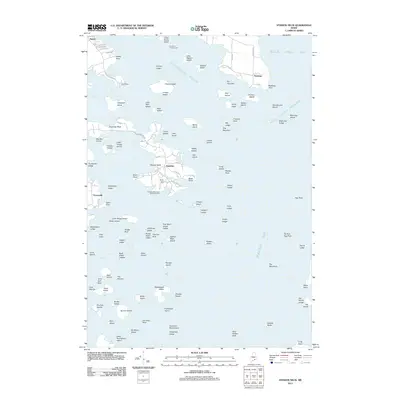
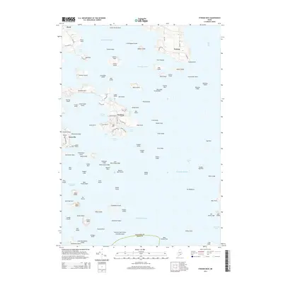
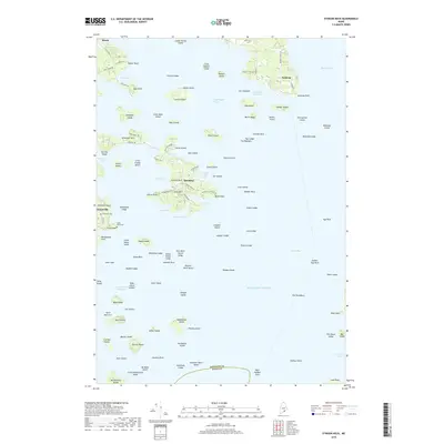
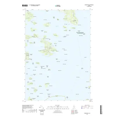
 2024 Stinson Neck2024 Print · USGSCoastal Maine at the edge of the Atlantic comes into focus here, showing the intricate island and cove geography of Hancock County. Genealogists can trace local family lineages through Naskeag Cem and Whitmore Cem near the settlements of Sunshine and Naskeag.
 - 2024 Map of Isle Au Haut West, 2024 Print
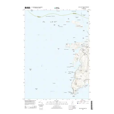
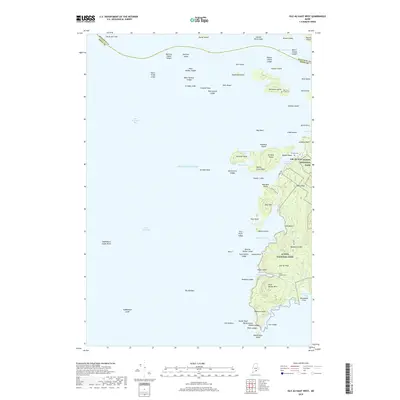
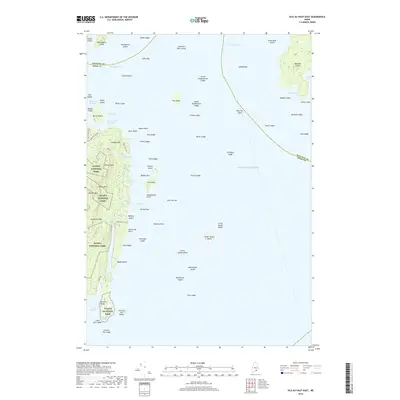
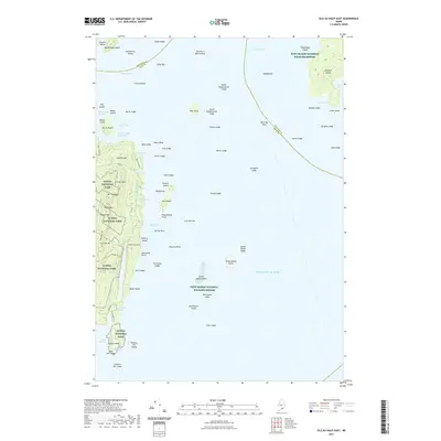
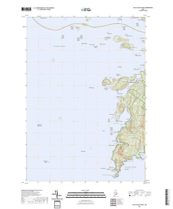 2024 Isle Au Haut West2024 Print · USGSThe western portion of Isle au Haut and its neighboring islands are documented here in a modern survey of Maine’s coastal wilderness. Researchers can trace land use patterns through family cemeteries like Turners Cem and navigate the paths of Acadia National Park near Duck Harbor.
 - 2024 Map of Isle Au Haut East, 2024 Print
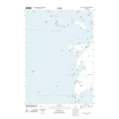
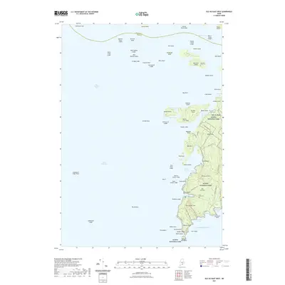
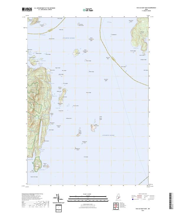 2024 Isle Au Haut East2024 Print · USGSThe rugged coast of Hancock and Knox counties comes to life in this contemporary survey of Isle Au Haut. Trace the trails of Acadia National Park, locate island landmarks like Coombs Mtn, and explore the reaches of Marshall Island.
End of results
Showing maps 1-25 of 25
Top cities near Isle au Haut
- Deer Isle historical maps
- Tremont historical maps
- Vinalhaven historical maps
- Stonington historical maps
- Brooklin historical maps
- North Haven historical maps
See more
Top neighborhoods of Isle au Haut
Frequently asked questions
- What are the different types of historical maps available for Isle au Haut?
- What is the oldest map of Isle au Haut?
- Where can I purchase historical maps of Isle au Haut for my home or office?
- Where can I download high-res historical maps of Isle au Haut?
- Are there historical topographic maps available for Isle au Haut?
- Is there historical aerial imagery available for Isle au Haut?
- Where are historical maps of Isle au Haut sourced from?