2000s (21st Century) Maps of Matinicus Isle Plantation, Maine
Explore 29 historic maps of Matinicus Isle Plantation from the 2000s (21st Century). These maps offer a rare glimpse into what life looked like during the 2000s — showing old roads, neighborhoods, homes, and landmarks that have changed or disappeared over time.
Whether you're researching your family's past, planning a metal detecting trip, or studying how Matinicus Isle Plantation's landscape evolved across the 2000s, these high-resolution maps are a powerful tool for exploring the history of this region.
- Focus on a specific era: All maps on this page are from the 2000s, giving you a focused view of this time period.
- See what’s changed: Compare century-old streets, trails, and buildings to today's modern landscape using overlays and satellite layers.
- Research with precision: Use these maps for genealogy, historical research, land use analysis, or educational projects.
- View, download, or print: Maps are fully viewable online in high resolution, and can be downloaded or printed for your own records.
Start exploring Matinicus Isle Plantation's history through authentic maps from the 2000s. This is your window into the past.
Matinicus Isle Plantation, ME maps
(29)- 2011 Map of Matinicus OE W, 2011 Print
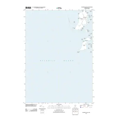 2011 Matinicus OE W2011 Print · USGSCovers Matinicus Isle Plantation, including Matinicus Isle, Criehaven Township, and other nearby areas
 - 2011 Map of Hewett Island OE S, 2011 Print
 2011 Hewett Island OE S2011 Print · USGSCovers Matinicus Isle Plantation, including Knox County, United States, and other nearby areas
 - 2011 Map of Matinicus OE NW, 2011 Print
 2011 Matinicus OE NW2011 Print · USGSCovers Matinicus Isle Plantation, including Vinalhaven, Muscle Ridge Township, and other nearby areas
 - 2011 Map of Matinicus OE N, 2011 Print
 2011 Matinicus OE N2011 Print · USGSCovers Matinicus Isle Plantation, including Vinalhaven, Knox County, and other nearby areas
 - 2011 Map of Matinicus, 2011 Print
 2011 Matinicus2011 Print · USGSCovers Matinicus Isle Plantation, including Vinalhaven, Criehaven Township, and other nearby areas
 - 2014 Map of Matinicus OE W, 2014 Print
 2014 Matinicus OE W2014 Print · USGSCovers Matinicus Isle Plantation, including Matinicus Isle, Criehaven Township, and other nearby areas
 - 2014 Map of Matinicus OE NW, 2014 Print
 2014 Matinicus OE NW2014 Print · USGSCovers Matinicus Isle Plantation, including Vinalhaven, Muscle Ridge Township, and other nearby areas
 - 2014 Map of Hewett Island OE S, 2014 Print
 2014 Hewett Island OE S2014 Print · USGSCovers Matinicus Isle Plantation, including Knox County, United States, and other nearby areas
 - 2014 Map of Matinicus, 2014 Print
 2014 Matinicus2014 Print · USGSCovers Matinicus Isle Plantation, including Vinalhaven, Criehaven Township, and other nearby areas
 - 2014 Map of Matinicus OE N, 2014 Print
 2014 Matinicus OE N2014 Print · USGSCovers Matinicus Isle Plantation, including Vinalhaven, Knox County, and other nearby areas
 - 2014 Map of Matinicus OE E, 2014 Print
 2014 Matinicus OE E2014 Print · USGSCovers Matinicus Isle Plantation, including Vinalhaven, Knox County, and other nearby areas
 - 2018 Map of Matinicus OE E, 2018 Print
 2018 Matinicus OE E2018 Print · USGSCovers Matinicus Isle Plantation, including Vinalhaven, Knox County, and other nearby areas
 - 2018 Map of Matinicus OE N, 2018 Print
 2018 Matinicus OE N2018 Print · USGSCovers Matinicus Isle Plantation, including Vinalhaven, Knox County, and other nearby areas
 - 2018 Map of Matinicus, 2018 Print
 2018 Matinicus2018 Print · USGSCovers Matinicus Isle Plantation, including Vinalhaven, Criehaven Township, and other nearby areas
 - 2018 Map of Hewett Island OE S, 2018 Print
 2018 Hewett Island OE S2018 Print · USGSCovers Matinicus Isle Plantation, including Knox County, United States, and other nearby areas
 - 2018 Map of Matinicus OE NW, 2018 Print
 2018 Matinicus OE NW2018 Print · USGSCovers Matinicus Isle Plantation, including Vinalhaven, Muscle Ridge Township, and other nearby areas
 - 2018 Map of Matinicus OE W, 2018 Print
 2018 Matinicus OE W2018 Print · USGSCovers Matinicus Isle Plantation, including Matinicus Isle, Criehaven Township, and other nearby areas
 - 2021 Map of Matinicus OE W, 2021 Print
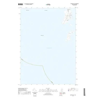
 2021 Matinicus OE W2021 Print · USGSCovers Matinicus Isle Plantation, including Matinicus Isle, Criehaven Township, and other nearby areas
 - 2021 Map of Hewett Island OE S, 2021 Print
 2021 Hewett Island OE S2021 Print · USGSCovers Matinicus Isle Plantation, including Knox County, United States, and other nearby areas
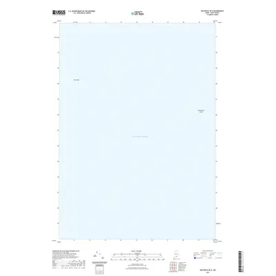
 - 2021 Map of Matinicus OE E, 2021 Print
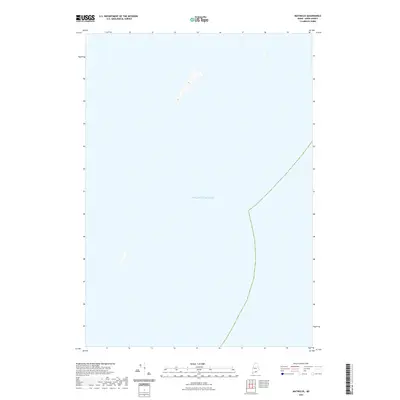
 2021 Matinicus OE E2021 Print · USGSCovers Matinicus Isle Plantation, including Vinalhaven, Knox County, and other nearby areas
 - 2021 Map of Matinicus, 2021 Print
 2021 Matinicus2021 Print · USGSCovers Matinicus Isle Plantation, including Vinalhaven, Criehaven Township, and other nearby areas
 - 2021 Map of Matinicus OE NW, 2021 Print
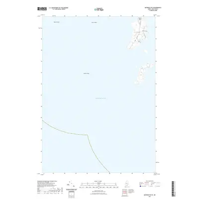
 2021 Matinicus OE NW2021 Print · USGSCovers Matinicus Isle Plantation, including Vinalhaven, Muscle Ridge Township, and other nearby areas
 - 2021 Map of Matinicus OE N, 2021 Print
 2021 Matinicus OE N2021 Print · USGSCovers Matinicus Isle Plantation, including Vinalhaven, Knox County, and other nearby areas
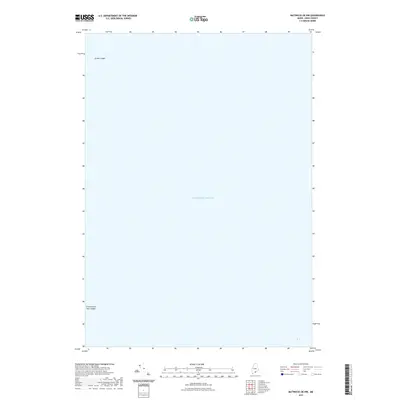
 - 2024 Map of Matinicus OE NW, 2024 Print
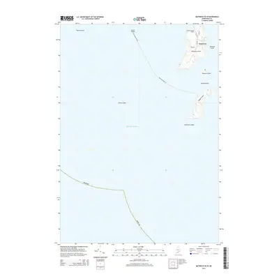
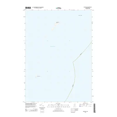
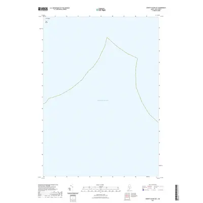
 2024 Matinicus OE NW2024 Print · USGSThe Knox County coast is charted in this modern survey, capturing the vital maritime transit routes of the Maine archipelago. Maritime researchers can trace the course of the Everett Libby Ferry and locate remote outposts like Two Bush Island and Seal Ledges.
 - 2024 Map of Matinicus OE E, 2024 Print
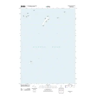
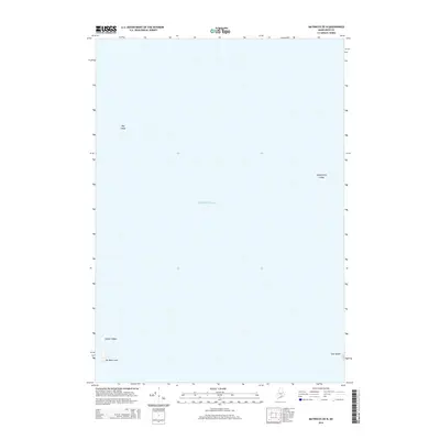
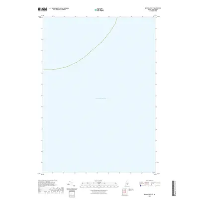
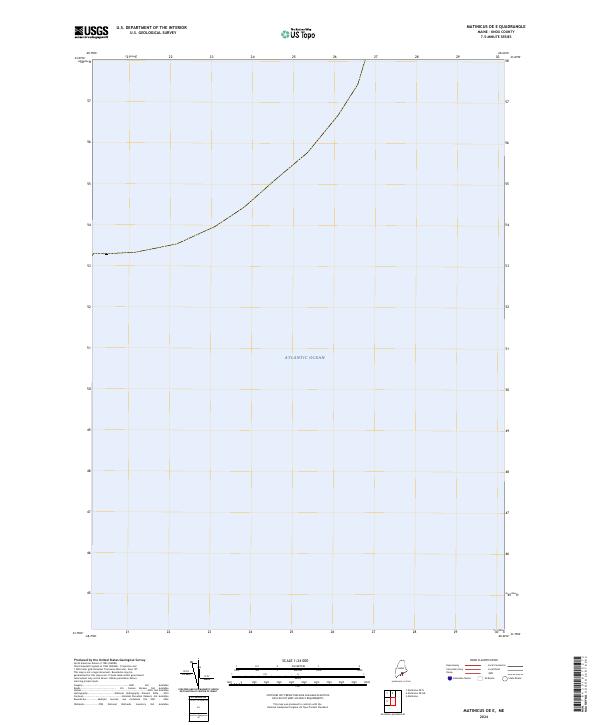 2024 Matinicus OE E2024 Print · USGSIn the waters off the Maine coast in the 2020s, this chart details the maritime reach of the Gulf of Maine. Researchers can orient themselves within the vast Atlantic Ocean east of Matinicus Island.
Showing maps 1-25 of 29
Top cities near Matinicus Isle Plantation
- Saint George historical maps
- South Thomaston historical maps
- Owls Head historical maps
- Vinalhaven historical maps
- Matinicus Isle historical maps
- Isle au Haut historical maps
See more
Top neighborhoods of Matinicus Isle Plantation
Frequently asked questions
- What are the different types of historical maps available for Matinicus Isle Plantation?
- What is the oldest map of Matinicus Isle Plantation?
- Where can I purchase historical maps of Matinicus Isle Plantation for my home or office?
- Where can I download high-res historical maps of Matinicus Isle Plantation?
- Are there historical topographic maps available for Matinicus Isle Plantation?
- Is there historical aerial imagery available for Matinicus Isle Plantation?
- Where are historical maps of Matinicus Isle Plantation sourced from?