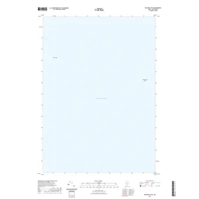
2021 Map of Matinicus OE N
USGS Topo · Published 2021About this map
The vast reaches of the Atlantic Ocean dominate this coastal survey south of Vinalhaven, Maine. Two distinct submerged navigational hazards, Bay Ledge and Snippershan Ledge, define the maritime character of these waters. Produced by the U.S. Geological Survey in 2021, the map provides a precise modern record of the offshore topography in Knox County. The absence of landmasses beyond these named ledges underscores the isolation of this stretch of the Gulf of Maine, making it a critical reference for understanding the underwater geography that has shaped local fishing and maritime history for generations.
Find a feature on this map
3 named features on this map. Tap any name to fly to it.
Don’t see what you’re looking for? This feature index may not catch every label — zoom into the map to look around manually.
Map Details
Editions of this 2021 Matinicus OE N Map
This is the sole edition of this map. No revisions or reprints were ever made.
Other maps of this area

1904 · Deer Isle
USGS Topo · 1:62,500

1904 · Vinalhaven
USGS Topo · 1:62,500

1905 · Penobscot Bay
USGS Topo · 1:125,000

1906 · Matinicus
USGS Topo · 1:62,500

1941 · Vinalhaven
USGS Topo · 1:62,500

1942 · Deer Isle
USGS Topo · 1:62,500

1944 · Vinalhaven
USGS Topo · 1:62,500

1944 · Deer Isle
USGS Topo · 1:62,500

1948 · Bangor
USGS Topo · 1:250,000

1948 · Bath
USGS Topo · 1:250,000