2000s (21st Century) Maps of Dresden, Maine
Explore 20 historic maps of Dresden from the 2000s (21st Century). These maps offer a rare glimpse into what life looked like during the 2000s — showing old roads, neighborhoods, homes, and landmarks that have changed or disappeared over time.
Whether you're researching your family's past, planning a metal detecting trip, or studying how Dresden's landscape evolved across the 2000s, these high-resolution maps are a powerful tool for exploring the history of this region.
- Focus on a specific era: All maps on this page are from the 2000s, giving you a focused view of this time period.
- See what’s changed: Compare century-old streets, trails, and buildings to today's modern landscape using overlays and satellite layers.
- Research with precision: Use these maps for genealogy, historical research, land use analysis, or educational projects.
- View, download, or print: Maps are fully viewable online in high resolution, and can be downloaded or printed for your own records.
Start exploring Dresden's history through authentic maps from the 2000s. This is your window into the past.
Dresden, ME maps
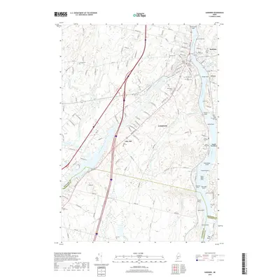
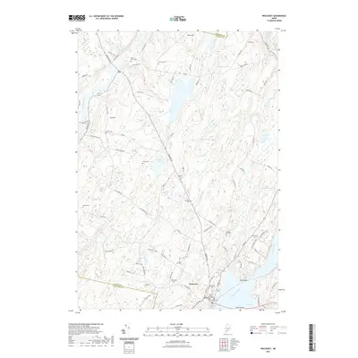
(20)- 2011 Map of Richmond, 2011 Print
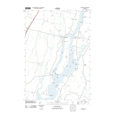 2011 Richmond2011 Print · USGSCovers Dresden, including Richmond, Woolwich, and other nearby areas
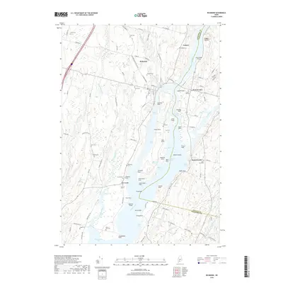
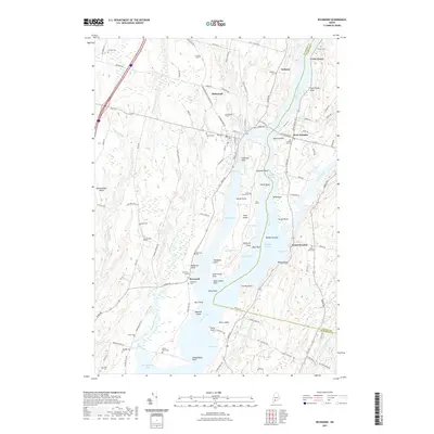
 - 2011 Map of Gardiner, 2011 Print
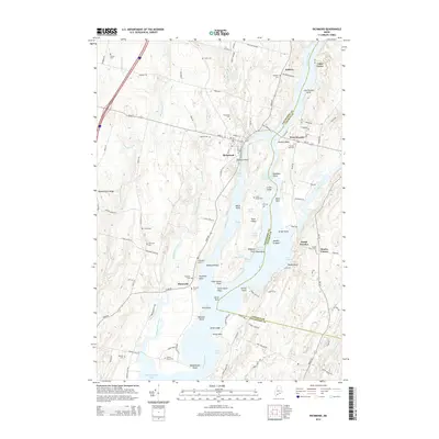
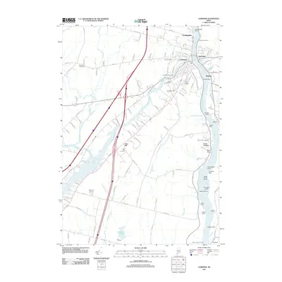 2011 Gardiner2011 Print · USGSCovers Dresden, including Gardiner, West Gardiner, and other nearby areas
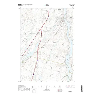
 - 2011 Map of Wiscasset, 2011 Print
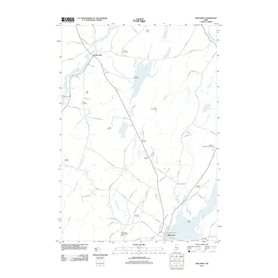 2011 Wiscasset2011 Print · USGSCovers Dresden, including Wiscasset, Woolwich, and other nearby areas
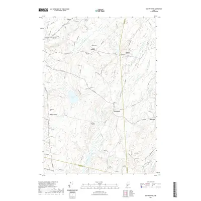
 - 2011 Map of East Pittston, 2011 Print
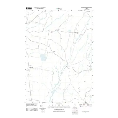 2011 East Pittston2011 Print · USGSCovers Dresden, including Pittston, Chelsea, and other nearby areas
 - 2014 Map of Wiscasset, 2014 Print
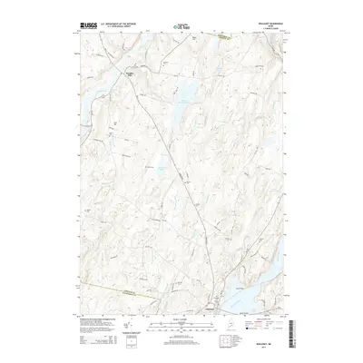 2014 Wiscasset2014 Print · USGSCovers Dresden, including Wiscasset, Woolwich, and other nearby areas
 - 2014 Map of Richmond, 2014 Print
 2014 Richmond2014 Print · USGSCovers Dresden, including Richmond, Woolwich, and other nearby areas
 - 2014 Map of Gardiner, 2014 Print
 2014 Gardiner2014 Print · USGSCovers Dresden, including Gardiner, West Gardiner, and other nearby areas
 - 2014 Map of East Pittston, 2014 Print
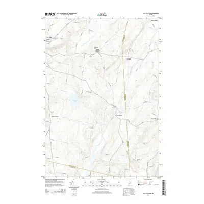 2014 East Pittston2014 Print · USGSCovers Dresden, including Pittston, Chelsea, and other nearby areas
 - 2018 Map of East Pittston, 2018 Print
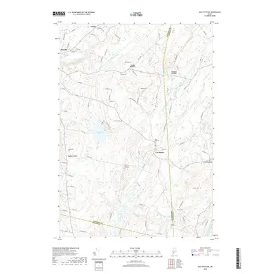 2018 East Pittston2018 Print · USGSCovers Dresden, including Pittston, Chelsea, and other nearby areas
 - 2018 Map of Gardiner, 2018 Print
 2018 Gardiner2018 Print · USGSCovers Dresden, including Gardiner, West Gardiner, and other nearby areas
 - 2018 Map of Wiscasset, 2018 Print
 2018 Wiscasset2018 Print · USGSCovers Dresden, including Wiscasset, Woolwich, and other nearby areas
 - 2018 Map of Richmond, 2018 Print
 2018 Richmond2018 Print · USGSCovers Dresden, including Richmond, Woolwich, and other nearby areas
 - 2021 Map of Wiscasset, 2021 Print
 2021 Wiscasset2021 Print · USGSCovers Dresden, including Wiscasset, Woolwich, and other nearby areas
 - 2021 Map of Richmond, 2021 Print
 2021 Richmond2021 Print · USGSCovers Dresden, including Richmond, Woolwich, and other nearby areas
 - 2021 Map of Gardiner, 2021 Print
 2021 Gardiner2021 Print · USGSCovers Dresden, including Gardiner, West Gardiner, and other nearby areas
 - 2021 Map of East Pittston, 2021 Print
 2021 East Pittston2021 Print · USGSCovers Dresden, including Pittston, Chelsea, and other nearby areas
 - 2024 Map of Wiscasset, 2024 Print
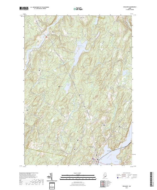 2024 Wiscasset2024 Print · USGSThe coastal village of Wiscasset and its rural hinterlands are shown here in the 2020s, highlighting the area's deep-rooted settlement patterns. Genealogists can trace family burial sites like Ancient Cem and Huntoon Hill Cem near the historic Lincoln County Courthouse.
 - 2024 Map of Gardiner, 2024 Print
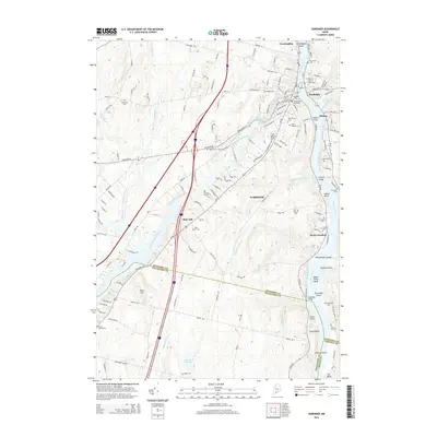
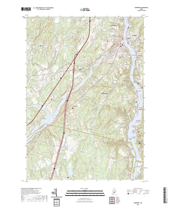 2024 Gardiner2024 Print · USGSThe riverfront communities along the Kennebec River are documented here in their modern context. Researchers can trace dozens of family and community burial sites, including Oak Grove Cem and the Brown Family Cem, or locate landmarks like Iron Mine Hill.
 - 2024 Map of Richmond, 2024 Print
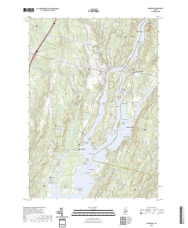 2024 Richmond2024 Print · USGSThe Kennebec River corridor comes alive in this contemporary survey of the Sagadahoc and Lincoln county borders. Researchers can locate numerous family burial grounds like Evergreen Cem and Barker Cem while tracing the shores of Swan Island.
 - 2024 Map of East Pittston, 2024 Print
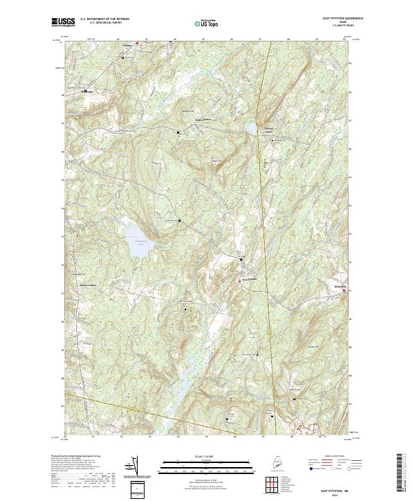 2024 East Pittston2024 Print · USGSThe rural crossroads and river valleys of Kennebec County appear in high detail on this contemporary survey. Family historians can trace numerous burial sites like Putnam Cem and the Old Moody Cem near the banks of the Eastern River.
End of results
Showing maps 1-20 of 20
Top cities near Dresden
- Brunswick historical maps
- Augusta historical maps
- Topsham historical maps
- Bath historical maps
- Winthrop historical maps
- Gardiner historical maps
See more
Top neighborhoods of Dresden
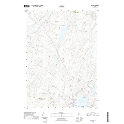
- Hatchs Corner historical maps
- South Dresden historical maps
- West Dresden historical maps
- Cedar Grove historical maps
- Dresden Mills historical maps
Frequently asked questions
- What are the different types of historical maps available for Dresden?
- What is the oldest map of Dresden?
- Where can I purchase historical maps of Dresden for my home or office?
- Where can I download high-res historical maps of Dresden?
- Are there historical topographic maps available for Dresden?
- Is there historical aerial imagery available for Dresden?
- Where are historical maps of Dresden sourced from?