2000s (21st Century) Maps of Buckfield, Maine
Explore 20 historic maps of Buckfield from the 2000s (21st Century). These maps offer a rare glimpse into what life looked like during the 2000s — showing old roads, neighborhoods, homes, and landmarks that have changed or disappeared over time.
Whether you're researching your family's past, planning a metal detecting trip, or studying how Buckfield's landscape evolved across the 2000s, these high-resolution maps are a powerful tool for exploring the history of this region.
- Focus on a specific era: All maps on this page are from the 2000s, giving you a focused view of this time period.
- See what’s changed: Compare century-old streets, trails, and buildings to today's modern landscape using overlays and satellite layers.
- Research with precision: Use these maps for genealogy, historical research, land use analysis, or educational projects.
- View, download, or print: Maps are fully viewable online in high resolution, and can be downloaded or printed for your own records.
Start exploring Buckfield's history through authentic maps from the 2000s. This is your window into the past.
Buckfield, ME maps
(20)- 2011 Map of Lake Auburn West, 2011 Print
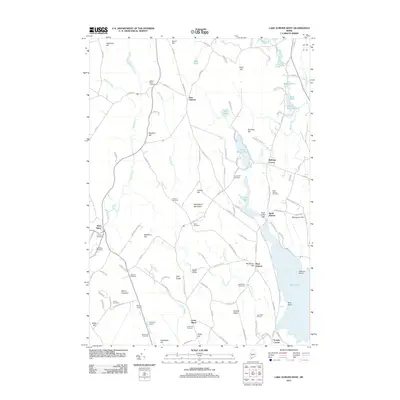 2011 Lake Auburn West2011 Print · USGSCovers Buckfield, including Auburn, Turner, and other nearby areas
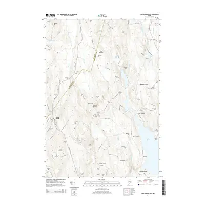
 - 2011 Map of West Sumner, 2011 Print
 2011 West Sumner2011 Print · USGSCovers Buckfield, including Paris, West Paris, and other nearby areas
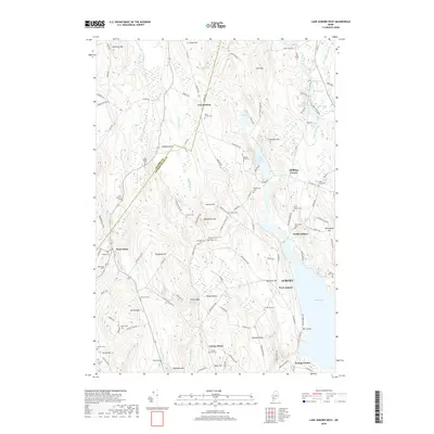
 - 2011 Map of Oxford, 2011 Print
 2011 Oxford2011 Print · USGSCovers Buckfield, including Paris, Oxford, and other nearby areas
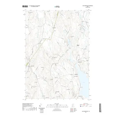
 - 2011 Map of Buckfield, 2011 Print
 2011 Buckfield2011 Print · USGSCovers Buckfield, including Turner, Livermore, and other nearby areas
 - 2014 Map of Buckfield, 2014 Print
 2014 Buckfield2014 Print · USGSCovers Buckfield, including Turner, Livermore, and other nearby areas
 - 2014 Map of Oxford, 2014 Print
 2014 Oxford2014 Print · USGSCovers Buckfield, including Paris, Oxford, and other nearby areas
 - 2014 Map of West Sumner, 2014 Print
 2014 West Sumner2014 Print · USGSCovers Buckfield, including Paris, West Paris, and other nearby areas
 - 2014 Map of Lake Auburn West, 2014 Print
 2014 Lake Auburn West2014 Print · USGSCovers Buckfield, including Auburn, Turner, and other nearby areas
 - 2018 Map of Lake Auburn West, 2018 Print
 2018 Lake Auburn West2018 Print · USGSCovers Buckfield, including Auburn, Turner, and other nearby areas
 - 2018 Map of Buckfield, 2018 Print
 2018 Buckfield2018 Print · USGSCovers Buckfield, including Turner, Livermore, and other nearby areas
 - 2018 Map of West Sumner, 2018 Print
 2018 West Sumner2018 Print · USGSCovers Buckfield, including Paris, West Paris, and other nearby areas
 - 2018 Map of Oxford, 2018 Print
 2018 Oxford2018 Print · USGSCovers Buckfield, including Paris, Oxford, and other nearby areas
 - 2021 Map of Lake Auburn West, 2021 Print
 2021 Lake Auburn West2021 Print · USGSCovers Buckfield, including Auburn, Turner, and other nearby areas
 - 2021 Map of Oxford, 2021 Print
 2021 Oxford2021 Print · USGSCovers Buckfield, including Paris, Oxford, and other nearby areas
 - 2021 Map of Buckfield, 2021 Print
 2021 Buckfield2021 Print · USGSCovers Buckfield, including Turner, Livermore, and other nearby areas
 - 2021 Map of West Sumner, 2021 Print
 2021 West Sumner2021 Print · USGSCovers Buckfield, including Paris, West Paris, and other nearby areas
 - 2024 Map of Buckfield, 2024 Print
 2024 Buckfield2024 Print · USGSMaine's interior hill country comes into focus in this contemporary survey of the Oxford and Androscoggin county line. Genealogists can locate family burial plots such as Harlow Family Cem and Jackson Cem near the banks of Bear Pond and the Nezinscot River.
 - 2024 Map of Oxford, 2024 Print
 2024 Oxford2024 Print · USGSThe foothills of western Maine are captured in this recent survey, showcasing a landscape of river-valley settlements and upland farms. Historians can trace local family lineages through sites like Caldwell Cem or Shepards Field Cem and locate historic hubs at Oxford Station and Hebron.
 - 2024 Map of West Sumner, 2024 Print
 2024 West Sumner2024 Print · USGSOxford County’s rural highlands and the West Branch Nezinscot River valley are shown in modern detail on this 2024 map. Genealogists and local historians can trace family ties through numerous burial sites like Elmwood Cem and Grays Cem or locate old farmstead sites near Cushman Pond.
 - 2024 Map of Lake Auburn West, 2024 Print
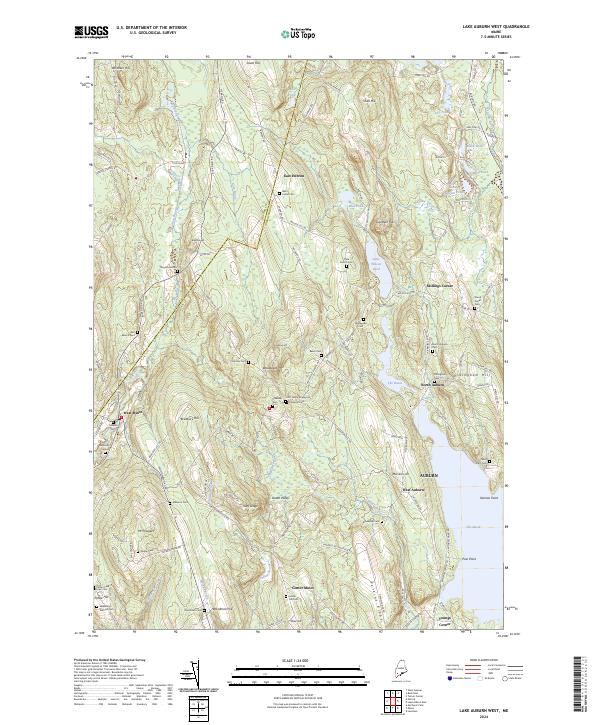 2024 Lake Auburn West2024 Print · USGSThe rural hills between Auburn and East Hebron are captured in this modern survey of central Maine. Genealogists can locate numerous small burial sites like Scott Family Graveyard and Baker Cem or trace the shores of The Basin.
End of results
Showing maps 1-20 of 20
Top cities near Buckfield
- Lewiston historical maps
- Auburn historical maps
- Lisbon historical maps
- Turner historical maps
- Poland historical maps
- Paris historical maps
See more
Top neighborhoods of Buckfield
Frequently asked questions
- What are the different types of historical maps available for Buckfield?
- What is the oldest map of Buckfield?
- Where can I purchase historical maps of Buckfield for my home or office?
- Where can I download high-res historical maps of Buckfield?
- Are there historical topographic maps available for Buckfield?
- Is there historical aerial imagery available for Buckfield?
- Where are historical maps of Buckfield sourced from?