Old Maps of Holden, Maine for Hiking & Exploration
Hike through history with 38 historic maps of Holden. Explore old trails, ghost towns, and forgotten backroads — perfect for outdoor adventurers and local explorers.
- Rediscover forgotten places: Map out old mining camps, roads, and footpaths that no longer exist on modern maps.
- Layer with modern tools: Combine with LiDAR or satellite views to plan hikes through historical terrain.
- Made for exploration: Popular among hikers, overlanders, and local history lovers.
Use these maps to find adventure and explore the hidden past of Holden.
Holden, ME maps
(38)- 1900 Map of Orland
 1900 Orland1900 Print · USGSMaine's interior hills and glacial lakes are shown in detail at the turn of the century as the rail lines reached into Hancock County. Trace the development of small settlements like East Orland and Dedham, or locate the early U.S. Fish Hatchery near Green Lake.6 unique versions available
 - 1902 Map of Orono
 1902 Orono1902 Print · USGSPenobscot River life at the turn of the century centered on a busy corridor of rail, river, and industry. Researchers can trace the early footprint of the University, the rail lines of the Bangor and Aroostook RR, and settlements like Basin Mills and Indian Island.6 unique versions available
 - 1942 Map of Orland
 1942 Orland1942 Print · USGSIn the early 1940s, the rugged interior between the Penobscot River and Ellsworth was a landscape of high summits and conservation-focused industry. Genealogists and historians can trace old homesteads and landmarks like Bucks Mills, the U S Fish Hatchery, and the scattered settlements of East Orland and North Ellsworth.
 - 1944 Map of Orono, 1954 Print
 1944 Orono1954 Print · USGSThe Penobscot River corridor is captured here in the mid-1940s, showing the early footprint of the University of Maine and the industrial activity of Old Town. Genealogists and historians can trace family locations through French Settlement, Woodlawn Cem, and the Old Gold Mine.2 unique versions available
 - 1946 Map of Orono
 1946 Orono1946 Print · USGSPenobscot County industry and academia meet along the river in the mid-forties. Genealogists and historians can trace the development of Marsh Island, locate the University of Maine campus, and find local landmarks like the Old Gold Mine Trail.2 unique versions available
 - 1948 Map of Bangor
 1948 Bangor1948 Print · USGSThe Maine coast and its industrial river valleys are captured here shortly after the war, showing the vital shipping and rail hubs of the late 1940s. Genealogists and historians can trace the tracks of the Maine Central RR connecting Bangor, Augusta, and Old Town.
 - 1948 Map of Orland
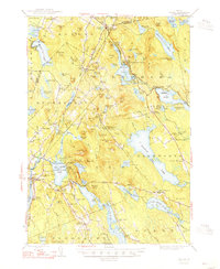 1948 Orland1948 Print · USGSHancock and Penobscot counties are shown here just after the war, when rural hamlets and lakeside retreats defined the landscape. Researchers can locate the Annear Copper Mine, the US Fish Hatchery, and numerous family burial grounds like Evergreen Cemetery.2 unique versions available
 - 1955 Map of Orland, 1956 Print
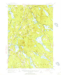 1955 Orland1956 Print · USGSCoastal Maine in the mid-fifties is captured here as a landscape of interconnected ponds and granite ridges. Genealogists and historians can trace family-named landmarks like Condon Hill, locate the U S Fish Hatchery, and find the Annear Copper Mine.4 unique versions available
 - 1955 Map of Orono, 1957 Print
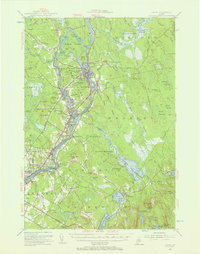 1955 Orono1957 Print · USGSThe Penobscot river valley thrived as a center of education and industry in the mid-fifties, anchored by Indian Island and the university. Genealogists and historians can trace family-named sites from French Settlement to Clewleyville Corners and the Old Gold Mine.4 unique versions available
 - 1956 Map of Bangor, 1966 Print
 1956 Bangor1966 Print · USGSMid-century Maine comes alive in this survey of the rugged coast and river valleys during the 1950s. Genealogists and historians can trace the vital rail corridors of the Maine Central RR connecting timber towns like Old Town to the coast at Bar Harbor.3 unique versions available
 - 1960 Map of Bangor
 1960 Bangor1960 Print · USGSCentral Maine in the sixties reveals a landscape of river-powered industry and sprawling coastal island chains. Researchers can trace the rail corridors of the Maine Central or locate mid-century aviation landmarks like Dow Air Force Base.
 - 1961 Map of Bangor
 1961 Bangor1961 Print · USGSMid-century Maine comes alive through its busy river ports and rocky archipelagoes during a period of steady maritime and rail commerce. Researchers can trace the path of the Maine Central railroad and locate coastal landmarks from Acadia National Park to Vinalhaven Island.
 - 1982 Map of Brewer Lake
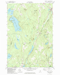 1982 Brewer Lake1982 Print · USGSHancock County's landscape of ridges and ponds is captured here in the early eighties as rural life centered around towns like Dedham and East Holden. Genealogists can locate several local burial grounds, including Union Cem and Copeland Hill Cem, and trace the path of the Maine Central railroad.
 - 1982 Map of Green Lake
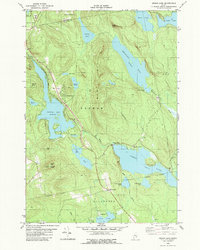 1982 Green Lake1982 Print · USGSHancock County’s lakelands are shown here in the early eighties, centered on the vacation community of Lucerne-In-Maine. Genealogists and researchers can trace family landmarks like Wilson Corner, Eastern Cem, and Our Lady of the Lake Chapel set against the granite heights of Eagle Bluff.2 unique versions available
 - 1985 Map of Bangor
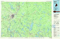 1985 Bangor1985 Print · USGSMid-Maine during the mid-eighties centers on the industrial pulse of the Penobscot River and its critical rail connections. Genealogists and historians can trace the development of river towns from Old Town to Ellsworth and locate regional landmarks like Fort Knox State Park.
 - 1988 Map of Veazie
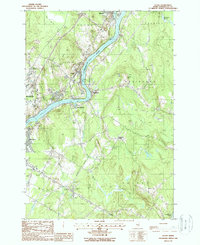 1988 Veazie1988 Print · USGSPenobscot County settlements and industrial infrastructure are captured here in the late eighties as the riverfront evolved. Researchers can locate vanished landmarks like the Drive-In Theater and the Hydro-Power Dam near Clewleyville Corners.2 unique versions available
 - 1988 Map of Chemo Pond
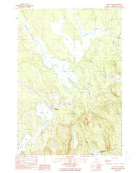 1988 Chemo Pond1988 Print · USGSPenobscot County in the late eighties reveals a landscape shaped by vast water bodies and rising woodland hills. Researchers can locate the small settlements of East Eddington and Clifton or trace the drainage from Chemo Bog into Chemo Pond.2 unique versions available
 - 1994 Map of Bangor
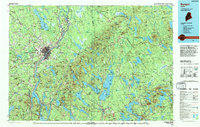 1994 Bangor1994 Print · USGSThe Penobscot River valley and the coastal highlands of eastern Maine are captured here in the mid-1990s. Researchers can trace the industrial rail corridors of the Maine Central Railroad or explore the landscape around Old Town, Bucksport, and Graham Lake.
 - 2011 Map of Chemo Pond, 2011 Print
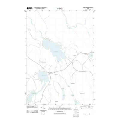 2011 Chemo Pond2011 Print · USGSPenobscot County’s interconnected waterways and timberlands are captured here in the early twenty-first century. Genealogists and local historians can trace family-named routes and landmarks near East Eddington and Clifton, including Pine Tree Cemetery and the Roosevelt Boy Scout Camp.
 - 2011 Map of Brewer Lake, 2011 Print
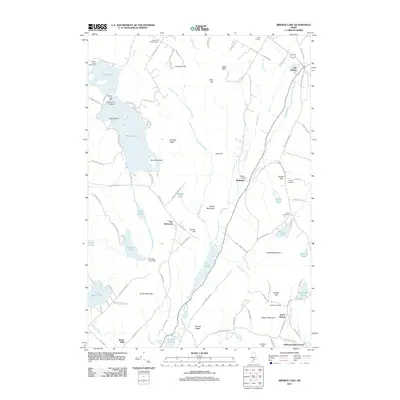 2011 Brewer Lake2011 Print · USGSCoastal Maine's interior woodlands and glacial ponds are documented here in the early twenty-first century. Researchers can locate long-standing community landmarks like the Fields Pond Settlement or trace lineage at the Copeland Hill Cemetery and Union Cemetery.
 - 2011 Map of Green Lake, 2011 Print
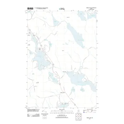 2011 Green Lake2011 Print · USGSHancock County’s lakelands are shown here in the early 2000s, centered on the historic resort community of Lucerne-in-Maine. Genealogists and researchers can locate Eastern Cemetery, trace old routes like Old Route 1A, and find local landmarks such as Camp Jordan.
 - 2011 Map of Veazie, 2011 Print
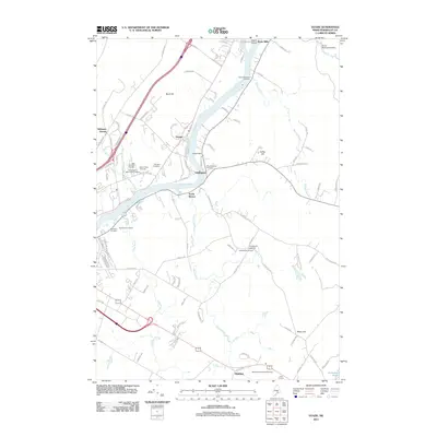 2011 Veazie2011 Print · USGSThe Penobscot River corridor comes into sharp focus during the early twenty-first century, revealing a landscape shaped by river power and community heritage. Genealogists can locate several burial sites, including Mount Hope Cemetery and Clewleyville Cemetery, while tracing local landmarks like the Veazie Dam.
 - 2014 Map of Veazie, 2014 Print
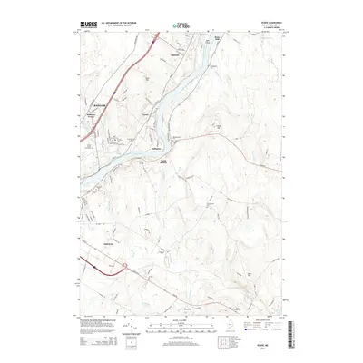 2014 Veazie2014 Print · USGSThe Penobscot River corridor reveals its modern character and deep-rooted heritage just north of the city. Genealogists and local historians can trace family locations through a dense network of burial grounds like Mt Hope Cem, N Brewer Cem, and Clewleyville Cem.
 - 2014 Map of Chemo Pond, 2014 Print
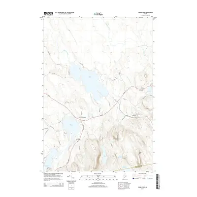 2014 Chemo Pond2014 Print · USGSPenobscot County at the start of the 2010s shows a landscape of highland ridges and sprawling glacial ponds. Researchers can trace historic local sites like East Eddington, Maplewood Cem, and the high peak of Pisgah Mtn.
 - 2014 Map of Green Lake, 2014 Print
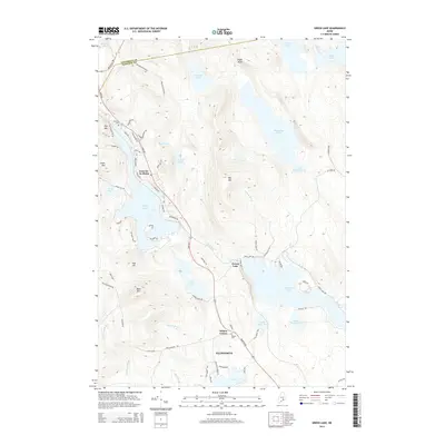 2014 Green Lake2014 Print · USGSCoastal Hancock County is captured here in the early twenty-first century, showcasing the lakefront communities and granite heights of the Downeast interior. Researchers can locate family sites near Wilson Corner or trace old wood roads around Lucerne-in-Maine and Phillips Lake.
Showing maps 1-25 of 38
Top cities near Holden
- Bangor historical maps
- Orono historical maps
- Brewer historical maps
- Ellsworth historical maps
- Hampden historical maps
- Old Town historical maps
See more
Top neighborhoods of Holden
Frequently asked questions
- What are the different types of historical maps available for Holden?
- What is the oldest map of Holden?
- Where can I purchase historical maps of Holden for my home or office?
- Where can I download high-res historical maps of Holden?
- Are there historical topographic maps available for Holden?
- Is there historical aerial imagery available for Holden?
- Where are historical maps of Holden sourced from?