2000s (21st Century) Maps of Dover-Foxcroft, Maine
Explore 35 historic maps of Dover-Foxcroft from the 2000s (21st Century). These maps offer a rare glimpse into what life looked like during the 2000s — showing old roads, neighborhoods, homes, and landmarks that have changed or disappeared over time.
Whether you're researching your family's past, planning a metal detecting trip, or studying how Dover-Foxcroft's landscape evolved across the 2000s, these high-resolution maps are a powerful tool for exploring the history of this region.
- Focus on a specific era: All maps on this page are from the 2000s, giving you a focused view of this time period.
- See what’s changed: Compare century-old streets, trails, and buildings to today's modern landscape using overlays and satellite layers.
- Research with precision: Use these maps for genealogy, historical research, land use analysis, or educational projects.
- View, download, or print: Maps are fully viewable online in high resolution, and can be downloaded or printed for your own records.
Start exploring Dover-Foxcroft's history through authentic maps from the 2000s. This is your window into the past.
Dover-Foxcroft, ME maps
(35)- 2011 Map of Sebec Lake West, 2011 Print
 2011 Sebec Lake West2011 Print · USGSCovers Dover-Foxcroft, including Guilford, Bowerbank, and other nearby areas
 - 2011 Map of Dover-Foxcroft, 2011 Print
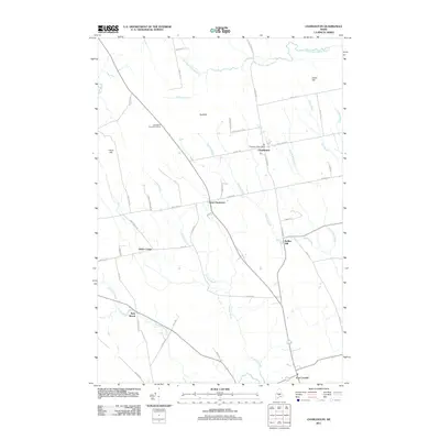
 2011 Dover-Foxcroft2011 Print · USGSCovers Dover-Foxcroft, including Sangerville, Sebec, and other nearby areas
 - 2011 Map of Sangerville, 2011 Print
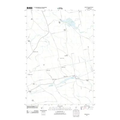
 2011 Sangerville2011 Print · USGSCovers Dover-Foxcroft, including Sangerville, Guilford, and other nearby areas
 - 2011 Map of Charleston, 2011 Print
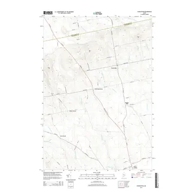
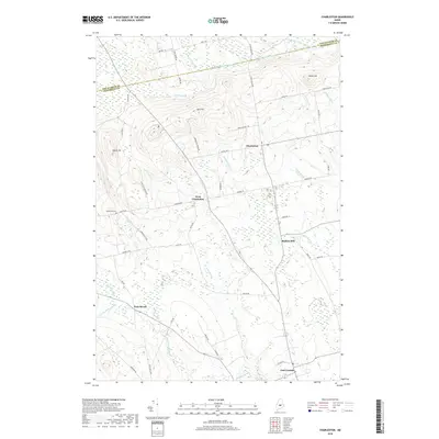
 2011 Charleston2011 Print · USGSCovers Dover-Foxcroft, including Corinth, Charleston, and other nearby areas
 - 2011 Map of Garland, 2011 Print
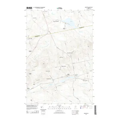
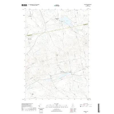
 2011 Garland2011 Print · USGSCovers Dover-Foxcroft, including Dexter, Corinna, and other nearby areas
 - 2011 Map of South Sebec, 2011 Print
 2011 South Sebec2011 Print · USGSCovers Dover-Foxcroft, including Milo, Sebec, and other nearby areas
 - 2011 Map of Sebec Lake East, 2011 Print
 2011 Sebec Lake East2011 Print · USGSCovers Dover-Foxcroft, including Sebec, Bowerbank, and other nearby areas
 - 2014 Map of Sebec Lake West, 2014 Print
 2014 Sebec Lake West2014 Print · USGSCovers Dover-Foxcroft, including Guilford, Bowerbank, and other nearby areas
 - 2014 Map of Garland, 2014 Print
 2014 Garland2014 Print · USGSCovers Dover-Foxcroft, including Dexter, Corinna, and other nearby areas
 - 2014 Map of South Sebec, 2014 Print
 2014 South Sebec2014 Print · USGSCovers Dover-Foxcroft, including Milo, Sebec, and other nearby areas
 - 2014 Map of Charleston, 2014 Print
 2014 Charleston2014 Print · USGSCovers Dover-Foxcroft, including Corinth, Charleston, and other nearby areas
 - 2014 Map of Dover-Foxcroft, 2014 Print
 2014 Dover-Foxcroft2014 Print · USGSCovers Dover-Foxcroft, including Sangerville, Sebec, and other nearby areas
 - 2014 Map of Sebec Lake East, 2014 Print
 2014 Sebec Lake East2014 Print · USGSCovers Dover-Foxcroft, including Sebec, Bowerbank, and other nearby areas
 - 2014 Map of Sangerville, 2014 Print
 2014 Sangerville2014 Print · USGSCovers Dover-Foxcroft, including Sangerville, Guilford, and other nearby areas
 - 2018 Map of Sebec Lake West, 2018 Print
 2018 Sebec Lake West2018 Print · USGSCovers Dover-Foxcroft, including Guilford, Bowerbank, and other nearby areas
 - 2018 Map of Sebec Lake East, 2018 Print
 2018 Sebec Lake East2018 Print · USGSCovers Dover-Foxcroft, including Sebec, Bowerbank, and other nearby areas
 - 2018 Map of South Sebec, 2018 Print
 2018 South Sebec2018 Print · USGSCovers Dover-Foxcroft, including Milo, Sebec, and other nearby areas
 - 2018 Map of Charleston, 2018 Print
 2018 Charleston2018 Print · USGSCovers Dover-Foxcroft, including Corinth, Charleston, and other nearby areas
 - 2018 Map of Garland, 2018 Print
 2018 Garland2018 Print · USGSCovers Dover-Foxcroft, including Dexter, Corinna, and other nearby areas
 - 2018 Map of Dover-Foxcroft, 2018 Print
 2018 Dover-Foxcroft2018 Print · USGSCovers Dover-Foxcroft, including Sangerville, Sebec, and other nearby areas
 - 2018 Map of Sangerville, 2018 Print
 2018 Sangerville2018 Print · USGSCovers Dover-Foxcroft, including Sangerville, Guilford, and other nearby areas
 - 2021 Map of Sangerville, 2021 Print
 2021 Sangerville2021 Print · USGSCovers Dover-Foxcroft, including Sangerville, Guilford, and other nearby areas
 - 2021 Map of Sebec Lake East, 2021 Print
 2021 Sebec Lake East2021 Print · USGSCovers Dover-Foxcroft, including Sebec, Bowerbank, and other nearby areas
 - 2021 Map of Garland, 2021 Print
 2021 Garland2021 Print · USGSCovers Dover-Foxcroft, including Dexter, Corinna, and other nearby areas
 - 2021 Map of South Sebec, 2021 Print
 2021 South Sebec2021 Print · USGSCovers Dover-Foxcroft, including Milo, Sebec, and other nearby areas
Showing maps 1-25 of 35
Top cities near Dover-Foxcroft
- Dexter historical maps
- Corinth historical maps
- Milo historical maps
- Corinna historical maps
- Saint Albans historical maps
- Charleston historical maps
See more
Top neighborhoods of Dover-Foxcroft
- South Dover historical maps
- Berrys Corner historical maps
- Dover South Mills historical maps
- Parson Landing historical maps
- Steadman Landing historical maps
- Greeleys Landing historical maps
See more
Frequently asked questions
- What are the different types of historical maps available for Dover-Foxcroft?
- What is the oldest map of Dover-Foxcroft?
- Where can I purchase historical maps of Dover-Foxcroft for my home or office?
- Where can I download high-res historical maps of Dover-Foxcroft?
- Are there historical topographic maps available for Dover-Foxcroft?
- Is there historical aerial imagery available for Dover-Foxcroft?
- Where are historical maps of Dover-Foxcroft sourced from?