Old Maps of T6 R13 WELS, Maine for Metal Detecting
Plan your next treasure hunt with 31 historic maps of T6 R13 WELS. Find old homesites, ghost towns, trails, and gathering spots that may be lost to time — perfect for identifying promising metal detecting locations.
- Locate forgotten sites: Uncover places like long-lost settlements, abandoned rail lines, or gathering spots.
- Plan better hunts: Use map overlays combined with LiDAR or satellite views to narrow in on historically rich areas.
- Made for detectorists: Thousands of hobbyists use these maps to discover relics, coins, and hidden history.
Use these historic maps to boost your research and find new opportunities beneath the surface of T6 R13 WELS.
T6 R13 WELS, ME maps
(31)- 1954 Map of Chesuncook, 1955 Print
 1954 Chesuncook1955 Print · USGSThe Maine North Woods around the mid-1950s reveal a landscape of interconnected lakes and isolated settlements centered on Chesuncook Lake. Researchers can trace the layout of Chesuncook Village, find the remote Chamberlain Farm, and locate the historic Carry Trail.2 unique versions available
 - 1954 Map of Presque Isle, 1968 Print
 1954 Presque Isle1968 Print · USGSNorth Woods logging and rail history come alive in this mid-century survey of the Maine-Quebec borderlands. Genealogists and historians can trace the Bangor and Aroostook railroad through timber hubs like Ashland, Smyrna Mills, and Presque Isle.2 unique versions available
 - 1958 Map of Presque Isle
 1958 Presque Isle1958 Print · USGSThe Aroostook timber and potato country is captured here during the late fifties, showing the vital rail-to-river network of Northern Maine. Genealogists and historians can trace the Bangor & Aroostook RR through Mapleton and Ashland, or locate remote sites like Chamberlain Farm and Seven Islands.
 - 1958 Map of Chesuncook, 1961 Print
 1958 Chesuncook1961 Print · USGSThe Maine North Woods at the end of the fifties remained a wilderness of timber and interconnected waterways. Trace old portages and homesteads such as the Carry Trail, Chamberlain Farm, and the remote Chesuncook Village.4 unique versions available
 - 1960 Map of Presque Isle
 1960 Presque Isle1960 Print · USGSNorthern Maine during the mid-century was a land of timber, rails, and strategic airfields. Genealogists and historians can trace the growth of Presque Isle and Ashland or explore the remote northern reaches of Baxter State Park and Presque Isle AFB.3 unique versions available
 - 1986 Map of Chamberlain Lake
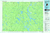 1986 Chamberlain Lake1986 Print · USGSThe Maine North Woods in the mid-eighties appear here as a land of protected wilderness and logging heritage, centered on the Allagash Wilderness Waterway. Researchers can trace the historic Tramway at Chamberlain Lake and locate old outposts like Churchill Depot.
 - 1988 Map of Longley Pond
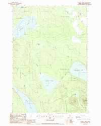 1988 Longley Pond1988 Print · USGSPiscataquis County's remote timberlands and interconnected waterways are documented here in the late eighties. Researchers can trace the legacy of the logging industry along the Old Railroad Grade and explore the shorelines of Shallow Lake and Longley Pond.
 - 1988 Map of Chesuncook
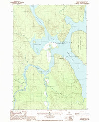 1988 Chesuncook1988 Print · USGSThe Maine wilderness of the late 1980s is captured here at the junction of the Penobscot River and Chesuncook Lake. Trace the settlement at Chesuncook, find Graveyard Point, and explore the Gero Island State Reserve Land.
 - 1988 Map of Mud Pond
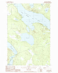 1988 Mud Pond1988 Print · USGSPiscataquis County’s deep woods and connected waterways are documented here in the late eighties as the region transitioned toward wilderness preservation. Researchers can trace the Old Railroad Grade and locate historic sites like Chamberlain Farm and Nugents Point.
 - 1988 Map of Cuxabexis Lake
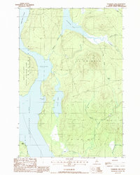 1988 Cuxabexis Lake1988 Print · USGSPiscataquis County's deep woods and connected waterways are captured here in the late eighties before modern shifts in land use. Discover the shoreline details of Cuxabexis Lake and Chesuncook Lake, or trace the remote reaches of Umbazooksus Stream.
 - 1994 Map of Chamberlain Lake
 1994 Chamberlain Lake1994 Print · USGSThe North Maine Woods in the early nineties remained a network of logging outposts and protected waterways. You can trace the historic logging infrastructure at Churchill Depot, the portage at Tramway, and remote landings such as Telos Landing.
 - 2011 Map of Longley Pond, 2011 Print
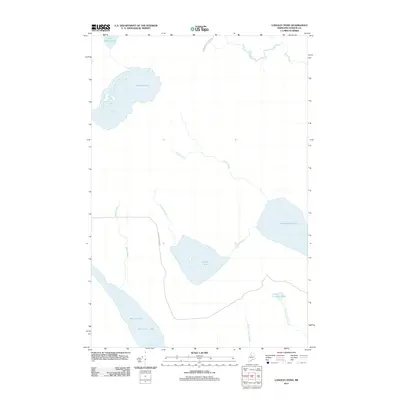 2011 Longley Pond2011 Print · USGSPiscataquis County's timberlands are captured here in the early twenty-first century, a landscape defined by expansive water bodies and industrial forest roads. Researchers can trace the logging infrastructure along International Paper Rd or explore the connected waters of Chesuncook Lake and Umbazooksus Lake.
 - 2011 Map of Chesuncook, 2011 Print
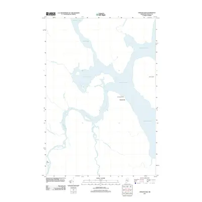 2011 Chesuncook2011 Print · USGSThe North Maine Woods around Chesuncook are captured here in the early twenty-first century, showcasing a landscape defined by timber and water. Researchers can locate the settlement at Graveyard Point and trace the winding course of the West Branch Penobscot River.
 - 2011 Map of Mud Pond, 2011 Print
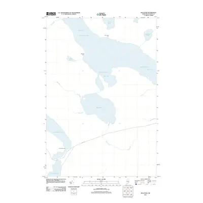 2011 Mud Pond2011 Print · USGSThe Maine North Woods are captured here in the early twenty-first century, showcasing a vast network of interconnected waterways. Modern researchers can trace the remote reaches of Chamberlain Lake, locate the isolated Chamberlain Farm, and study the drainage of Mud Pond.
 - 2011 Map of Cuxabexis Lake, 2011 Print
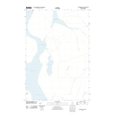 2011 Cuxabexis Lake2011 Print · USGSChesuncook Township and the surrounding Maine wilderness are mapped here in the early twenty-first century, showcasing a landscape of vast lakes and timberlands. Researchers can trace the extensive waterways of Chesuncook Lake and identify remote features like Togue Ledge and Cuxabexis Lake.
 - 2014 Map of Cuxabexis Lake, 2014 Print
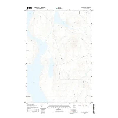 2014 Cuxabexis Lake2014 Print · USGSPiscataquis County's deep woods are documented in the early twenty-first century, centered on the vital waterway of Chesuncook Lake. Researchers can trace remote logging infrastructure and drainage patterns along Cuxabexis Lake, Gero Island, and Duck Pond Rd.
 - 2014 Map of Chesuncook, 2014 Print
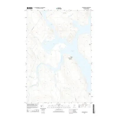 2014 Chesuncook2014 Print · USGSChesuncook and the North Maine Woods are captured here in the early twenty-first century, showing the enduring geography of the logging industry. Genealogists and researchers can locate the Chesuncook Village Cem and Graveyard Point along the Chesuncook Lake shoreline.
 - 2014 Map of Longley Pond, 2014 Print
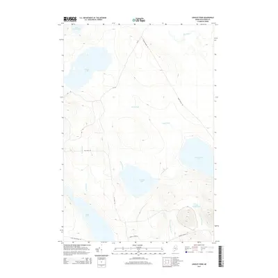 2014 Longley Pond2014 Print · USGSPiscataquis County timberlands are revealed in this modern survey of the Maine north woods near the turn of the decade. Outdoor enthusiasts and researchers can trace the routes of Grande Marche Rd and Guy Allen Rd between Longley Pond and Umbazooksus Lake.
 - 2014 Map of Mud Pond, 2014 Print
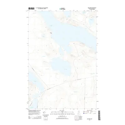 2014 Mud Pond2014 Print · USGSPiscataquis County's deep wilderness is preserved in this map of the Maine North Woods during the early twenty-first century. Researchers can trace the legendary log-driving waterways between Chamberlain Lake and Umbazooksus Lake or locate remote points like Donnely Point.
 - 2018 Map of Chesuncook, 2018 Print
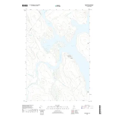 2018 Chesuncook2018 Print · USGSThe northern Maine wilderness near the confluence of the West Branch Penobscot River is documented here in the early 21st century. Researchers can trace the layout of the Chesuncook settlement and find remote landmarks like Graveyard Point and the Chesuncook Village Cem.
 - 2018 Map of Cuxabexis Lake, 2018 Print
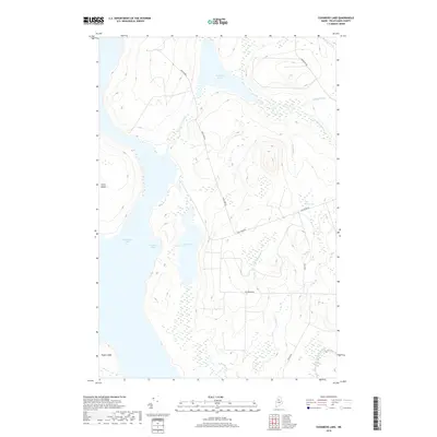 2018 Cuxabexis Lake2018 Print · USGSPiscataquis County's North Maine Woods are captured here in the late 2010s, showing a remote landscape of interconnected lakes and logging routes. Researchers can trace the water levels of Cuxabexis Lake and Chesuncook Lake or locate inland features like Logan Bog and Gero Island.
 - 2018 Map of Longley Pond, 2018 Print
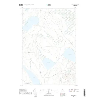 2018 Longley Pond2018 Print · USGSPiscataquis County's deep woods are documented in this recent survey of the North Maine Woods' hydrology and timber roads. Trace the remote drainage of Umbazooksus Lake and the seasonal logging routes of Pingree Rd and Black Pond Winter Rd.
 - 2018 Map of Mud Pond, 2018 Print
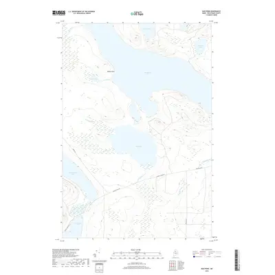 2018 Mud Pond2018 Print · USGSPiscataquis County timberlands and remote waterways are documented here in the late twenty-tens, showing the critical portage routes of the Maine woods. Outdoor enthusiasts and historians can trace the paths between Chamberlain Lake, Mud Pond, and Umbazooksus Lake.
 - 2021 Map of Cuxabexis Lake, 2021 Print
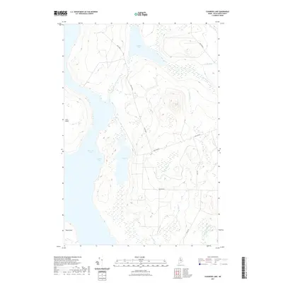 2021 Cuxabexis Lake2021 Print · USGSChesuncook Township and the North Woods of Maine are shown here in the early twenty-first century as a landscape of interconnected lakes and forest roads. Researchers can trace the waterways from Cuxabexis Lake down to Cuxabexis Cove or follow backcountry routes like Duck Pond Rd and Red Rip Rd.
 - 2021 Map of Longley Pond, 2021 Print
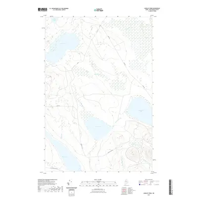 2021 Longley Pond2021 Print · USGSIn the remote North Woods of Maine, this 2021 survey shows a landscape dominated by water and timber access. Researchers can trace the drainage from Shallow Lake through the wetlands of Smith Brook Bog or follow the path of Pingree Rd.
Showing maps 1-25 of 31
Frequently asked questions
- What are the different types of historical maps available for T6 R13 WELS?
- What is the oldest map of T6 R13 WELS?
- Where can I purchase historical maps of T6 R13 WELS for my home or office?
- Where can I download high-res historical maps of T6 R13 WELS?
- Are there historical topographic maps available for T6 R13 WELS?
- Is there historical aerial imagery available for T6 R13 WELS?
- Where are historical maps of T6 R13 WELS sourced from?