Old Maps of Belfast, Maine for Hiking & Exploration
Hike through history with 34 historic maps of Belfast. Explore old trails, ghost towns, and forgotten backroads — perfect for outdoor adventurers and local explorers.
- Rediscover forgotten places: Map out old mining camps, roads, and footpaths that no longer exist on modern maps.
- Layer with modern tools: Combine with LiDAR or satellite views to plan hikes through historical terrain.
- Made for exploration: Popular among hikers, overlanders, and local history lovers.
Use these maps to find adventure and explore the hidden past of Belfast.
Belfast, ME maps
(34)- 1902 Map of Castine
 1902 Castine1902 Print · USGSPenobscot Bay at the dawn of the 1900s shows a thriving maritime landscape of island settlements and harbor towns. Genealogists and historians can trace old homesteads and coastal landmarks near Ft. George, Northport Camp Ground, and the various landings of Islesboro.
 - 1904 Map of Castine
 1904 Castine1904 Print · USGSPenobscot Bay at the turn of the century shows a maritime landscape of bustling ports and emerging summer colonies. Genealogists and historians can trace old coastal settlements like Castine, locate the grounds of Ft. George, and follow the Steamboat Routes that linked the mainland to Dark Harbor.7 unique versions available
 - 1905 Map of Penobscot Bay
 1905 Penobscot Bay1905 Print · USGSThe Maine coastline at the dawn of the twentieth century was a bustling network of maritime trade and summer retreats. Genealogists and historians can trace the foundations of coastal life through the STEAMBOAT ROUTE, the Northport Camp Ground, and settlements like Sargentville.3 unique versions available
 - 1915 Map of Belfast, 1962 Print
 1915 Belfast1962 Print · USGSMid-coast Maine at the start of the twentieth century shows a landscape of busy harbor towns and high-altitude farms. Genealogists can trace family names across dozens of rural landmarks, from Holmes Mill and Simpsons Corner to the numerous remote schoolhouses like Bartlett School.
 - 1917 Map of Belfast
 1917 Belfast1917 Print · USGSCoastal Waldo County hummed with maritime trade and small-scale milling during the years before the Great War. Researchers can trace ancestral property near Head of the Tide, locate district schoolhouses like Woods School, or follow the Maine Central Railroad into Belfast.6 unique versions available
 - 1941 Map of Belfast
 1941 Belfast1941 Print · USGSCoastal Waldo County at the start of the 1940s reveals a landscape of tidal rivers and bustling rural crossroads. Genealogists and historians can trace family locations through numerous landmarks like Allens Hall, Holmes Mill, and the Belfast & Moosehead Lake RR corridor.
 - 1941 Map of Castine, 1959 Print
 1941 Castine1959 Print · USGSPenobscot Bay and its storied coastal villages appear here in the early 1940s, showing the intersection of maritime trade and rural Maine life. Genealogists and historians can trace the rail terminals at Mack Pt, local schools like Park Sch, and the historical site of Fort George.4 unique versions available
 - 1943 Map of Castine
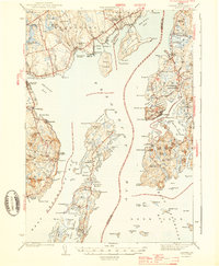 1943 Castine1943 Print · USGSMid-century Penobscot Bay life is charted here during the early 1940s, from the historic streets of the mainland to the isolated island harbors. Genealogists can trace family connections at Bethany Chapel or locate the old Farnham Sch and the rail depot at Searsport Sta.3 unique versions available
 - 1948 Map of Bangor
 1948 Bangor1948 Print · USGSThe Maine coast and its industrial river valleys are captured here shortly after the war, showing the vital shipping and rail hubs of the late 1940s. Genealogists and historians can trace the tracks of the Maine Central RR connecting Bangor, Augusta, and Old Town.
 - 1950 Map of Belfast
 1950 Belfast1950 Print · USGSMid-century Waldo County comes to life as a network of crossroads hamlets and coastal industry before the modern highway era. Genealogists can trace family names across schoolhouses like Apple Sch and rural intersections such as Hayford Corner and Vickerys Corner.
 - 1956 Map of Bangor, 1966 Print
 1956 Bangor1966 Print · USGSMid-century Maine comes alive in this survey of the rugged coast and river valleys during the 1950s. Genealogists and historians can trace the vital rail corridors of the Maine Central RR connecting timber towns like Old Town to the coast at Bar Harbor.3 unique versions available
 - 1960 Map of Bangor
 1960 Bangor1960 Print · USGSCentral Maine in the sixties reveals a landscape of river-powered industry and sprawling coastal island chains. Researchers can trace the rail corridors of the Maine Central or locate mid-century aviation landmarks like Dow Air Force Base.
 - 1960 Map of Lincolnville, 1962 Print
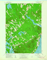 1960 Lincolnville1962 Print · USGSThe mid-coast Waldo County shoreline and hills appear here just as the post-war era transitioned into the 1960s. Genealogists and local historians can trace family locations through numerous rural corners and burial sites like Grange Corner, Slab City, and the South Belmont Cem.3 unique versions available
 - 1960 Map of Belfast, 1962 Print
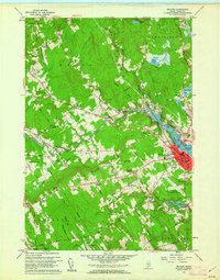 1960 Belfast1962 Print · USGSBelfast and its tidal river valley appear here in the early sixties, showing the city's coastal layout and the Belfast & Moosehead Lake RR. Genealogists and local historians can trace family-named crossroads like Evans Corner and several rural schools, including the Van Poland Sch.4 unique versions available
 - 1961 Map of Bangor
 1961 Bangor1961 Print · USGSMid-century Maine comes alive through its busy river ports and rocky archipelagoes during a period of steady maritime and rail commerce. Researchers can trace the path of the Maine Central railroad and locate coastal landmarks from Acadia National Park to Vinalhaven Island.
 - 1973 Map of Searsport, 1976 Print
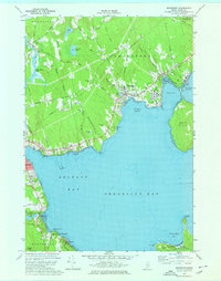 1973 Searsport1976 Print · USGSSearsport and the Waldo County coastline come alive in the 1970s as industrial rail lines meet the Atlantic. Researchers can trace family history through sites like Ford Chapel and Elmwood Cem, or explore the shoreline from Sears Island to Bayside.2 unique versions available
 - 1984 Map of Augusta
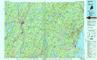 1984 Augusta1984 Print · USGSMid-coast and central Maine were undergoing steady change in the mid-eighties as traditional river and coastal industries met expanding recreation. You can trace the Maine Central RR through Augusta or explore the rugged shoreline from Rockland Harbor up to Mount Megunticook.
 - 1985 Map of Bar Harbor
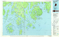 1985 Bar Harbor1985 Print · USGSCoastal Hancock County in the mid-eighties shows an intricate landscape of island communities and protected wilderness. Trace the boundaries of Acadia National Park or locate seafaring hubs like Stonington and Bar Harbor.2 unique versions available
 - 2000 Map of Lincolnville, 2001 Print
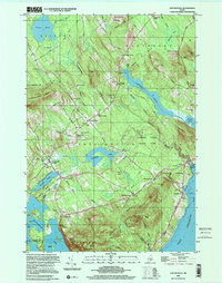 2000 Lincolnville2001 Print · USGSMid-coast Maine at the turn of the millennium retains its traditional network of crossroads settlements and coastal landmarks. Genealogists can locate family burial grounds like Union Cem and trace the area's rural development through points like Slab City and Grange Corner.
 - 2011 Map of Belfast, 2011 Print
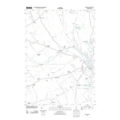 2011 Belfast2011 Print · USGSCoastal Waldo County at the start of the twenty-first century centers on the river-fed industry and historic family settlements of the Penobscot Bay region. You can trace generations of local history through sites like Holmes Mill, City Point, and the Pitcher Cemetery.
 - 2011 Map of Lincolnville, 2011 Print
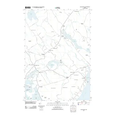 2011 Lincolnville2011 Print · USGSCoastal Waldo County near the Penobscot Bay shoreline shows a landscape of interior ponds and established family settlements in the early 2010s. Genealogists and historians can trace numerous community hubs like Slab City and Youngtown, alongside burial sites such as Maplewood Cemetery and Union Cemetery.
 - 2011 Map of Searsport, 2011 Print
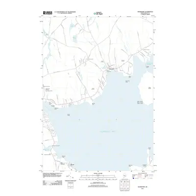 2011 Searsport2011 Print · USGSCoastal Waldo County comes into focus in this modern era survey of the Penobscot Bay shoreline. Researchers can trace land use from the industrial docks at Mack Point to the historical family plots of Mount Hope Cemetery and Bowditch Cemetery.
 - 2014 Map of Searsport, 2014 Print
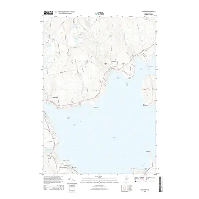 2014 Searsport2014 Print · USGSPenobscot Bay and its industrial and residential shorelines are captured here in the early twenty-first century. Researchers can locate numerous historic burial sites like Village Cem and Gordon Cem or trace the coastline from Sears Island to Turtle Head.
 - 2014 Map of Lincolnville, 2014 Print
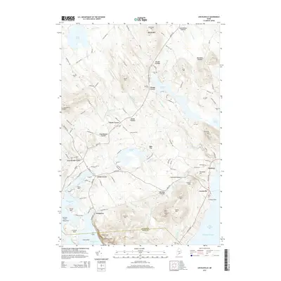 2014 Lincolnville2014 Print · USGSCoastal Waldo County at the start of the century reveals a landscape of high granite peaks and interconnected waterways. Researchers can trace historic family-named hubs like Grange Corner and Townhouse Corner alongside rural cemeteries such as Union Cem and Pitcher Cem.
 - 2014 Map of Belfast, 2014 Print
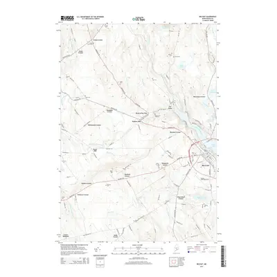 2014 Belfast2014 Print · USGSBelfast and its rural Waldo County surroundings are shown here in the mid-2010s, where the Maine coast meets the inland milling streams. Genealogists and researchers can trace numerous family burial grounds like Seekens Cem and locate historic points such as Holmes Mill or Poors Mill.
Showing maps 1-25 of 34
Top cities near Belfast
- Bucksport historical maps
- Camden historical maps
- Winterport historical maps
- Rockport historical maps
- Searsport historical maps
- Lincolnville historical maps
See more
Top neighborhoods of Belfast
- City Point historical maps
- Dog Island Corner historical maps
- Head of the Tide historical maps
- Holmes Mill historical maps
- Poors Mill historical maps
- Shermans Corner historical maps
See more
Frequently asked questions
- What are the different types of historical maps available for Belfast?
- What is the oldest map of Belfast?
- Where can I purchase historical maps of Belfast for my home or office?
- Where can I download high-res historical maps of Belfast?
- Are there historical topographic maps available for Belfast?
- Is there historical aerial imagery available for Belfast?
- Where are historical maps of Belfast sourced from?