Old Maps of Freedom, Maine for Genealogy
Trace your family roots with 37 historic maps of Freedom. These high-res maps reveal old neighborhoods, homesites, landmarks, and streets — helping you uncover where your ancestors lived and how the area evolved over time.
- Explore historic neighborhoods: Identify where your relatives may have lived in the 1800s or 1900s.
- Compare maps over time: Trace the changes in streets, buildings, and landmarks for multi-generational research.
- Perfect for genealogy & ancestry research: Used by family historians and researchers to map out lineage and migration.
These maps are an incredible resource for exploring your personal connection to Freedom's past.
Freedom, ME maps
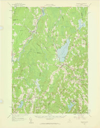
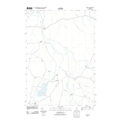
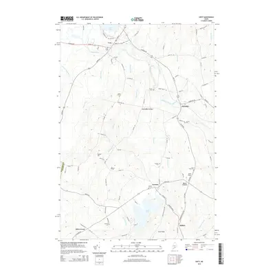
(37)- 1916 Map of Liberty
 1916 Liberty1916 Print · USGSMid-coast Maine at the start of the Great War was a patchwork of small townships and family farmsteads connected by narrow-gauge rails. Researchers can locate dozens of country schools and named crossroads such as The Kingdom, Hibberts Gore, and Woodmans Mills.6 unique versions available
 - 1926 Map of Burnham
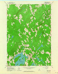
 1926 Burnham1926 Print · USGSWaldo and Kennebec counties in the mid-1920s are captured here as a landscape of rural schoolhouses and family-named corners centered on the Sebasticook River. Genealogists can trace family roots through landmarks like Quaker Hill Church, the Freedom Town House, and dozens of district sites like Beech Hill School.3 unique versions available
 - 1942 Map of Liberty
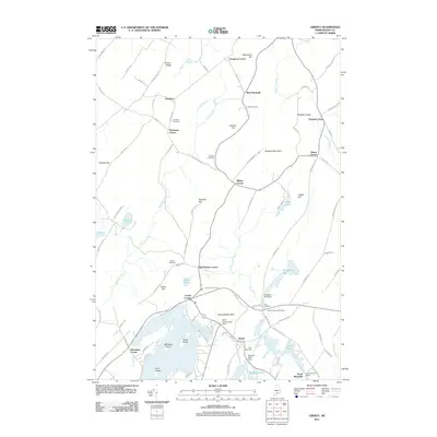
 1942 Liberty1942 Print · USGSWaldo and Lincoln County lands are documented here just before mid-century, showing a landscape of rural schools and family-named corners. Genealogists can trace property near Hibberts Gore or locate ancestral homesites near Handy Sch and Montville Post Office.
 - 1948 Map of Bangor
 1948 Bangor1948 Print · USGSThe Maine coast and its industrial river valleys are captured here shortly after the war, showing the vital shipping and rail hubs of the late 1940s. Genealogists and historians can trace the tracks of the Maine Central RR connecting Bangor, Augusta, and Old Town.
 - 1950 Map of Liberty
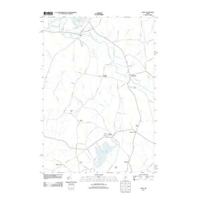
 1950 Liberty1950 Print · USGSMid-century Waldo County and its neighbors are defined here by a network of crossroad hamlets and upland ridges just after the war. Local historians can trace the foundations of The Kingdom, identify family sites near Hutchins Corner, or locate rural schoolhouses like Hallidale Sch.
 - 1956 Map of Bangor, 1966 Print
 1956 Bangor1966 Print · USGSMid-century Maine comes alive in this survey of the rugged coast and river valleys during the 1950s. Genealogists and historians can trace the vital rail corridors of the Maine Central RR connecting timber towns like Old Town to the coast at Bar Harbor.3 unique versions available
 - 1957 Map of Burnham, 1959 Print
 1957 Burnham1959 Print · USGSCentral Maine in the late 1950s reveals a landscape of tight-knit crossroads and small academies centered on the Unity Pond basin. Genealogists can trace family names through landmarks like Reynolds Corner, Freedom Academy, and the winding Belfast and Moosehead Lake Railroad.2 unique versions available
 - 1960 Map of Bangor
 1960 Bangor1960 Print · USGSCentral Maine in the sixties reveals a landscape of river-powered industry and sprawling coastal island chains. Researchers can trace the rail corridors of the Maine Central or locate mid-century aviation landmarks like Dow Air Force Base.
 - 1961 Map of Bangor
 1961 Bangor1961 Print · USGSMid-century Maine comes alive through its busy river ports and rocky archipelagoes during a period of steady maritime and rail commerce. Researchers can trace the path of the Maine Central railroad and locate coastal landmarks from Acadia National Park to Vinalhaven Island.
 - 1961 Map of Liberty, 1964 Print
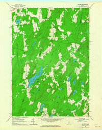
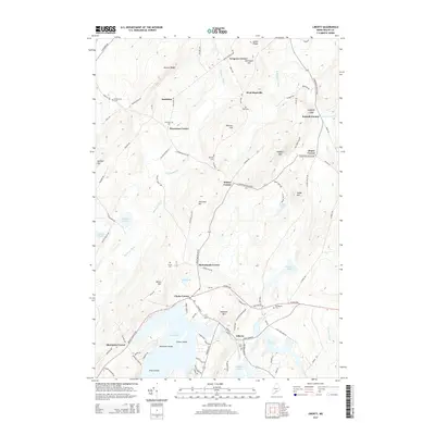
 1961 Liberty1964 Print · USGSCoastal Waldo County's inland hills and ponds are captured here in the early sixties, showing a landscape of family-named crossroads and state preserves. Genealogists can trace family footprints at Thurstons Corner, Smithton Cem, and Mt Repose Cem.4 unique versions available
 - 1961 Map of Palermo, 1964 Print
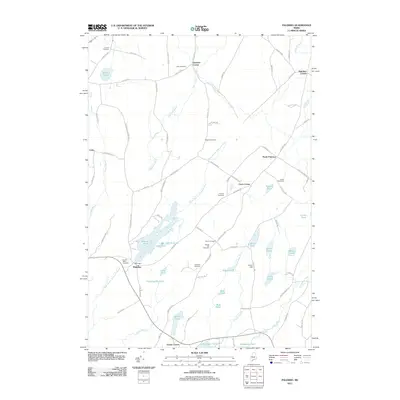
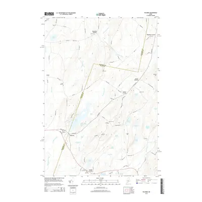
 1961 Palermo1964 Print · USGSThe Waldo County interior in the early sixties remains a landscape of rural settlements and glacial waters. Genealogists can locate family landmarks like Sennetts Corner, the Palermo Sch, and the Perkins Cem near the banks of Sheepscot Pond.3 unique versions available
 - 1975 Map of Burnham SE, 1980 Print
 1975 Burnham SE1980 Print · USGSWaldo County at the height of the 1970s shows a landscape of enduring rural character and organized woodlots. Local historians can trace family locations and land use patterns around Unity, Freedom, and the crossroads at Knox Corner.
 - 1975 Map of Burnham SW, 1980 Print
 1975 Burnham SW1980 Print · USGSKennebec County as it appeared in the mid-seventies, showing the agricultural and forested landscape of central Maine. Genealogists and researchers can trace local landmarks like Albion, South Albion, and the winding Fifteenmile Stream.
 - 1982 Map of Unity, 1983 Print
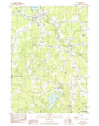 1982 Unity1983 Print · USGSWaldo County's agricultural and academic heartland is mapped here in the early eighties, centered on the village of Unity and the waters of Unity Pond. Genealogists and historians can locate numerous rural burial grounds like Saywood Cem, trace the Belfast and Moosehead Lake rail line, or find the Strawberry Fields Sch near Freedom.
 - 1982 Map of Albion, 1983 Print
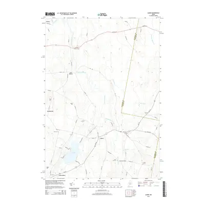
 1982 Albion1983 Print · USGSAlbion and the Kennebec County interior are captured in the early eighties as a landscape of interconnected wetlands and small farm settlements. Researchers can trace family history through sites like the Besse Sch, Puddledock Hall, and the Quaker Hill Cem.
 - 1984 Map of Augusta
 1984 Augusta1984 Print · USGSMid-coast and central Maine were undergoing steady change in the mid-eighties as traditional river and coastal industries met expanding recreation. You can trace the Maine Central RR through Augusta or explore the rugged shoreline from Rockland Harbor up to Mount Megunticook.
 - 1985 Map of Skowhegan, 1986 Print
 1985 Skowhegan1986 Print · USGSCentral Maine in the mid-eighties shows a landscape of river-driven industry and rural crossroads. Genealogists can trace family names and farmsteads near Lake George or along the Maine Central Railroad through Pittsfield and Burnham.2 unique versions available
 - 2011 Map of Albion, 2011 Print
 2011 Albion2011 Print · USGSCovers Freedom, including Winslow, Clinton, and other nearby areas
 - 2011 Map of Liberty, 2011 Print
 2011 Liberty2011 Print · USGSCovers Freedom, including Palermo, Searsmont, and other nearby areas
 - 2011 Map of Unity, 2011 Print
 2011 Unity2011 Print · USGSCovers Freedom, including Unity, Albion, and other nearby areas
 - 2011 Map of Palermo, 2011 Print
 2011 Palermo2011 Print · USGSCovers Freedom, including China, Albion, and other nearby areas
 - 2014 Map of Unity, 2014 Print
 2014 Unity2014 Print · USGSCovers Freedom, including Unity, Albion, and other nearby areas
 - 2014 Map of Liberty, 2014 Print
 2014 Liberty2014 Print · USGSCovers Freedom, including Palermo, Searsmont, and other nearby areas
 - 2014 Map of Palermo, 2014 Print
 2014 Palermo2014 Print · USGSCovers Freedom, including China, Albion, and other nearby areas
 - 2014 Map of Albion, 2014 Print
 2014 Albion2014 Print · USGSCovers Freedom, including Winslow, Clinton, and other nearby areas
Showing maps 1-25 of 37
Top cities near Freedom
- Winslow historical maps
- Belfast historical maps
- Vassalboro historical maps
- China historical maps
- Pittsfield historical maps
- Clinton historical maps
See more
Top neighborhoods of Freedom
- Thurstons Corner historical maps
- Hutchins Corner historical maps
- Smithton historical maps
- Sibley Corner historical maps
Frequently asked questions
- What are the different types of historical maps available for Freedom?
- What is the oldest map of Freedom?
- Where can I purchase historical maps of Freedom for my home or office?
- Where can I download high-res historical maps of Freedom?
- Are there historical topographic maps available for Freedom?
- Is there historical aerial imagery available for Freedom?
- Where are historical maps of Freedom sourced from?